Stunning views, packhorse trails and limestone pavements
Pennine Bridleway National Trail
Pennine Bridleway National Trail
About the Pennine Bridleway
The Pennine Bridleway is a 205 miles (330 Km) long National Trail running through the Pennine hills from Derbyshire to Cumbria. At The Trails Shop, we have a range of maps, guidebooks and merchandise to celebrate Pennine Bridleway National Trail.
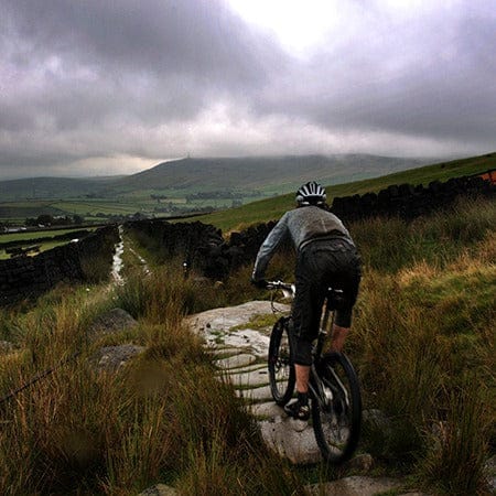
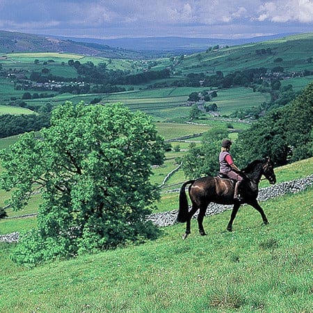
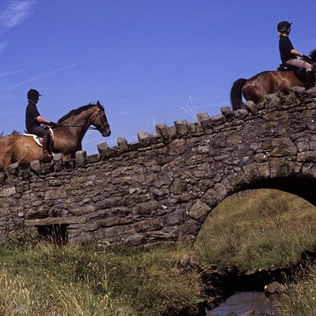
The Pennine Bridleway National Trail has been especially designed for horse riders, and is also great for mountain bikers and walkers. The Trail has two potential starting points in Derbyshire, the main one being at Middleton Top visitor centre on the High Peak Trail near Wirksworth. The second start point, which is recommended for horse riders, is at Hartington Station on the Tissington Trail.
This National Trail includes 2 large loops. The first is the Mary Towneley Loop in the South Pennines, this is 47 miles long and makes a great weekend’s walk or ride. The 2nd Loop is the 10 mile Settle Loop in the Yorkshire Dales, making an excellent day's walk or horse ride and can be extended by using the bridleway network to take in the village of Malham too.
Highlights of the Pennine Bridleway National Trail include the vibrant, clean and green Chee Dale Nature Reserve; the Kinder plateau which provide stunning views either side of the exhilarating Roych Clough; panoramic views of the Pennines and the valleys of Calderdale, Rochdale and Lancashire; the 6 compartmented water trough at Mankinholes where packhorse ponies stopped for rest and the famous Rochdale Canal.


