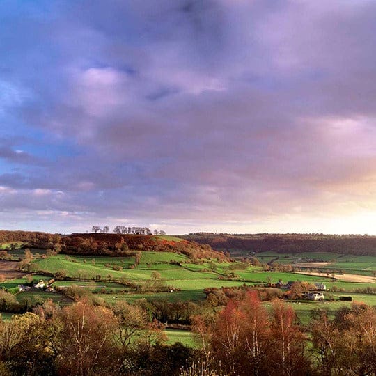
Sleepy villages, market towns, wildlife meadows and shaded woodland
Walking the Cotswold Way
Walking the Cotswold Way
About the Cotswold Way
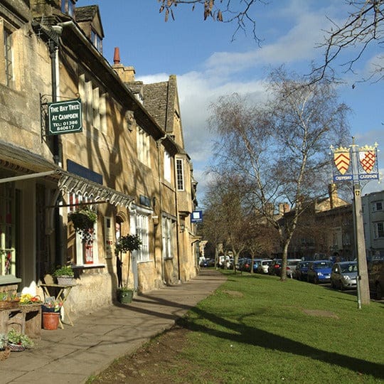
The Cotswold Way is a 102 mile (164Km) long National Trail running between the market town of Chipping Campden and the city of Bath. We have a collection of maps, guidebooks and merchandise to help you celebrate the Cotswold Way.
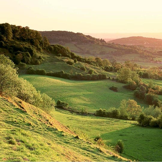
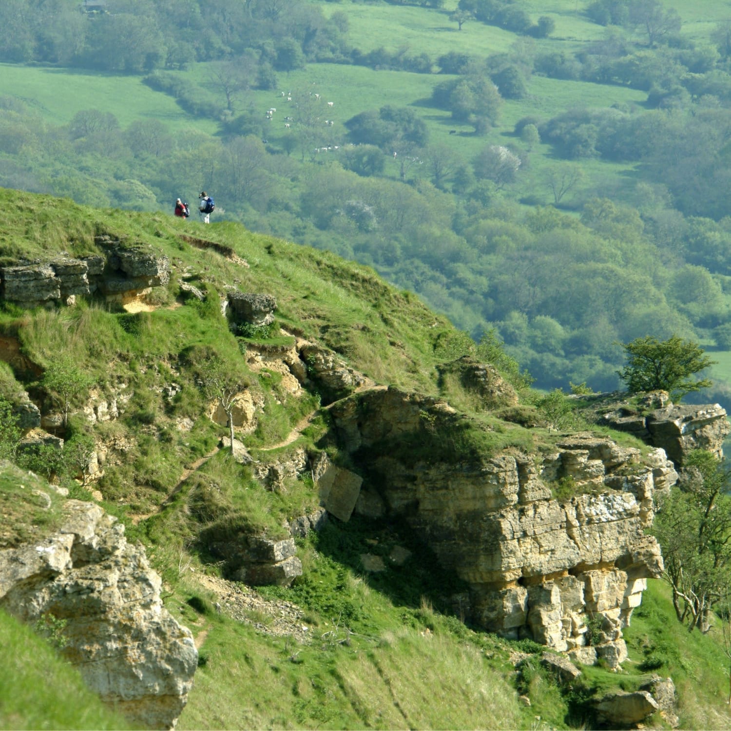
For most of its length, walking the Cotswold Way follows the Cotswold escarpment giving wonderful views of the surrounding landscape. It is waymarked with the distinctive National Trail acorn symbol.
You don't have to complete the Cotswold Way in one go to enjoy the best it has to offer, it is possible to break the National Trail up into sections. This iconic trail has existed as a promoted long distance walk for over 30 years but was formally launched as a National Trail in May 2007.
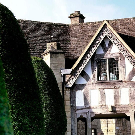
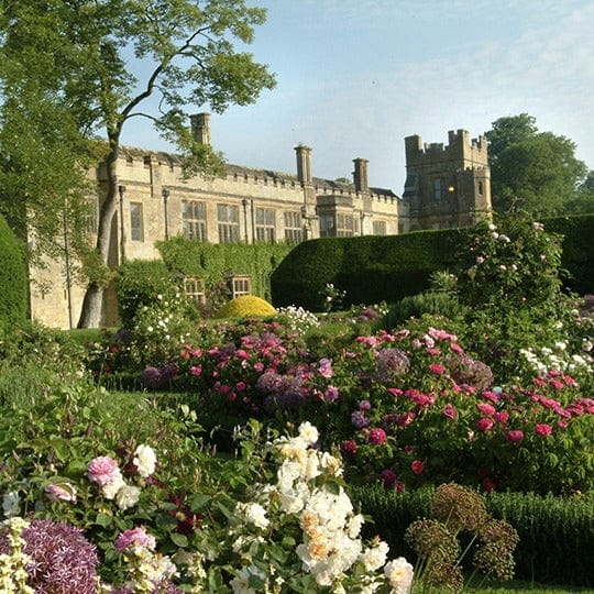
While walking the Cotswold Way, you will pass through many picturesque villages and close to a significant number of historic sites, including the Roman heritage baths in Bath, the Neolithic burial chamber at Belas Knap, Sudeley Castle near Winchcombe, and Hailes Abbey.
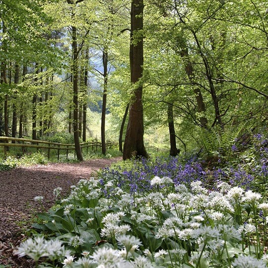
However, the Cotswold Way is so unique due to its variety and diversity, one minute you will be in wildflower meadows, the next in shaded beech woodlands rich with the colour of bluebells and the scent of wild garlic. You could have breakfast in a sleepy little village, lunch in a thriving market town like Winchcombe and eat dinner under the stars finally arriving at the beautiful city of Bath – no two days walking the Cotswold Way will be the same!

