From Moorland to Coast
Walking The Cleveland Way
Walking The Cleveland Way
About The Cleveland Way
The Cleveland Way National Trail is a 109-mile (175 Km) walking route from Helmsley to Filey in North Yorkshire. Check out our collection to help you stay on track while walking the Cleveland Way.
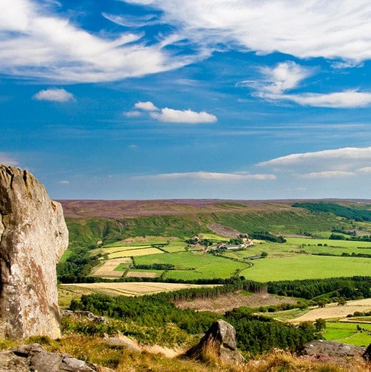
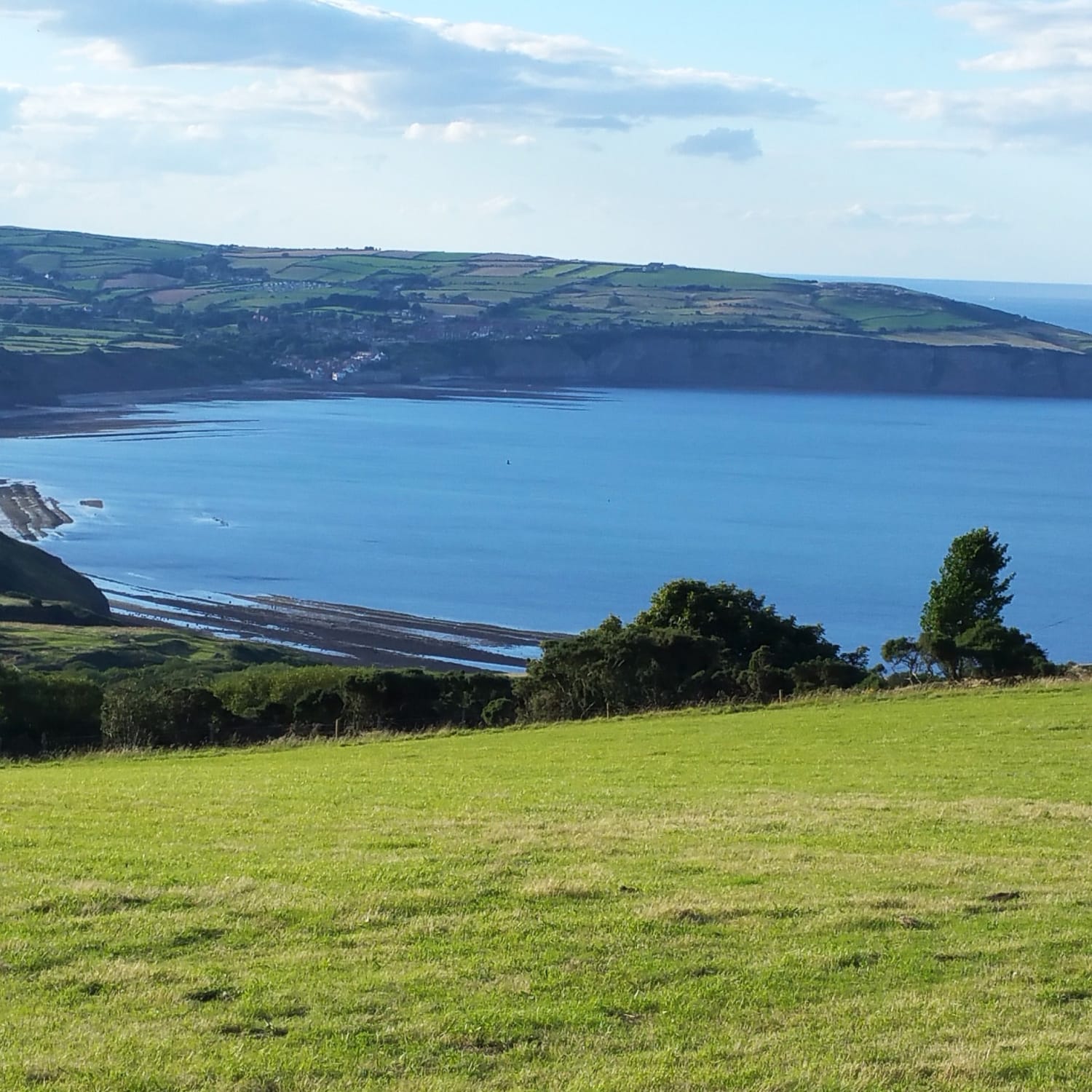
The Cleveland Way opened in 1969, and was the second National Trail in England and Wales (the first was the Pennine Way, opened in 1965). The trail offers the best of both worlds: the North York Moors and stunning coastal scenery, and is waymarked with the distinctive acorn symbol.
Walking the Cleveland Way follows a horseshoe-shaped route around the beautiful North York Moors National Park. Starting from the attractive market town of Helmsley, you will head across the heather moorland of the North York Moors before reaching the coast at Saltburn. From here the trail follows the dramatic North Yorkshire coastline to Filey, passing old fishing villages including Staithes, Runswick Bay and Robin Hood's Bay, and the lively coastal towns of Whitby and Scarborough.
There is a wealth of history and heritage to enjoy while walking the Cleveland Way including Helmsley Castle, Rievaulx Abbey, Mount Grace Priory, Guisborough Priory, Whitby Abbey and Scarborough Castle.
Check Out Our Cleveland Way Merchandise
How long does walking the Cleveland Way take, end to end?
Is walking the Cleveland Way hard?
When walking the Cleveland Way, which direction should I go?
Who can enjoy walking the Cleveland Way National Trail?
Can I bring my dog while walking the Cleveland Way?
What is the best time of year for walking the Cleveland Way?
Can I buy Cleveland Way merchandise?
Can I get a Cleveland Way National Trail completion certificate?
Guidebooks for the Cleveland Way
Maps for the Cleveland Way
Cleveland Way Merchandise
Reviews for the Cleveland Way Walk
Don’t just take it from us, see what other people have to say about their experience of walking the Cleveland Way:


