National Trails Maps UK
We have a large selection of National Trail maps available to help you stay on track while enjoying the beautiful views across the UK. The Footpath Series offer zigzag maps that provide a weatherproof, easy to read experience that fits conveniently into your pocket.
-
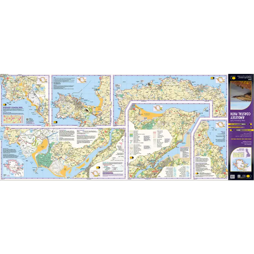
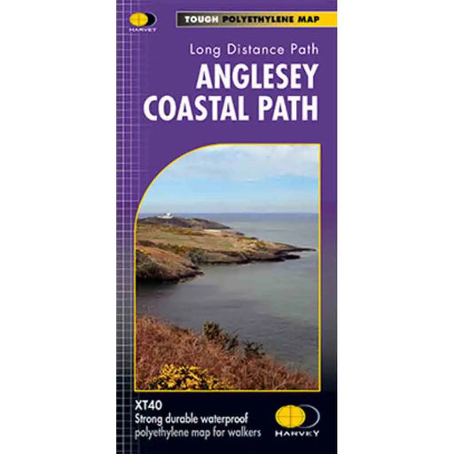
Anglesey Coastal Path Harvey map
£ 15.95This is a map covering the whole of the Anglesey Coast Path. It is everything you need to explore this amazing stretch of the Wales Coast Path. At ...
View full details£ 15.95 -
 Sold out
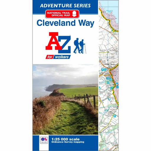
Cleveland Way A-Z Adventure Atlas
£ 8.95This map is out of print. We recommend the Cicerone Press Cleveland Way map booklet or the Cleveland Way Harvey map as an alternative. -----------...
View full details£ 8.95Sold out -
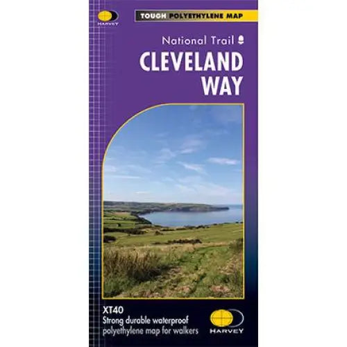
Cleveland Way National Trail Harvey map
£ 16.50Tough, light and 100% waterproof. Detailed mapping with full legend. National Grid - can be used with GPS. 1:40,000 scale. Compact and light - hal...
View full details£ 16.50 -
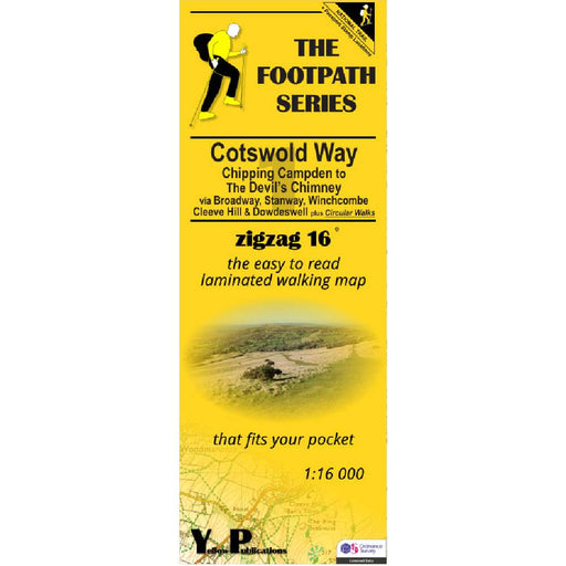
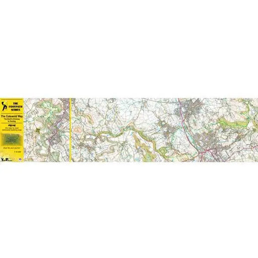
Cotswold Way 1 - Chipping Campden to The Devil's Chimney - Zigzag map
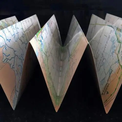
£ 9.95As their name suggests, Zigzag maps come in a concertina strip format and with 200cm of mapping, they can follow a long distance footpath at a scal...
View full details£ 9.95 -

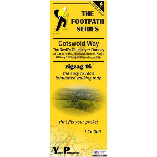
Cotswold Way 2 - The Devil's Chimney to Dursley - Zigzag map
£ 9.95As their name suggests, Zigzag maps come in a concertina strip format and with 200cm of mapping, they can follow a long distance footpath at a scal...
View full details£ 9.95 -

Cotswold Way 3 - Dursley to Bath - Zigzag map
£ 9.95As their name suggests, Zigzag maps come in a concertina strip format and with 200cm of mapping, they can follow a long distance footpath at a scal...
View full details£ 9.95 -
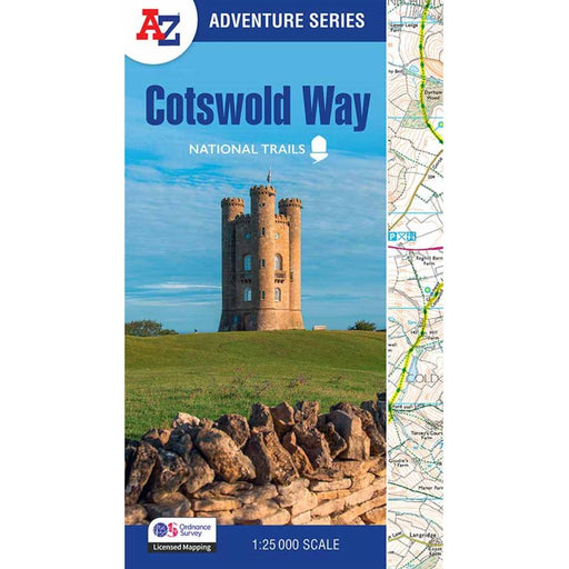
Cotswold Way A-Z Adventure Atlas - 2025 edition
£ 11.99New for 2025, this A-Z Adventure series map of the Cotswold Way uses 1:25k scale Ordnance Survey mapping in a convenient book format. Covering the...
View full details£ 11.99 -
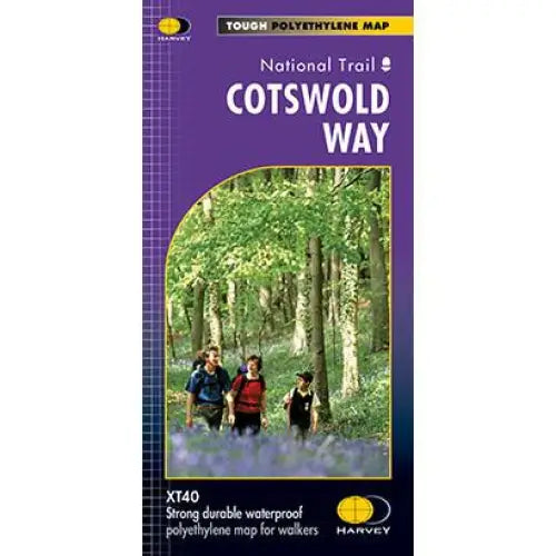
Cotswold Way Harvey map
£ 15.95This map is tough, light and 100% waterproof. Detailed mapping of the Cotswold Way with full legend. National Grid - can be used with GPS. 1:40,000...
View full details£ 15.95 -
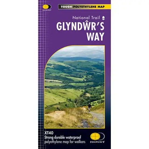
Glyndwr's Way Harvey map
£ 16.50Compact and light - the map itself weighs just 60gms - a third of the weight of a laminated map, and much less bulky. And you can fold or refold it...
View full details£ 16.50 -
 Sold out
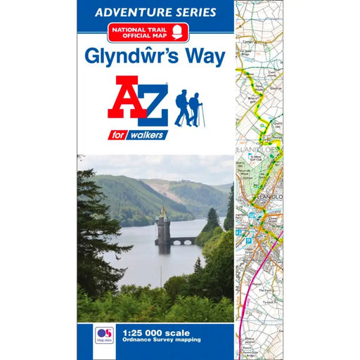
Glyndwr's Way Map - National Trail A-Z Map
£ 8.95This map is now out or print. We recommend the Glyndwr's Way Harvey Map as an alternative. ---------------------------------------------------- T...
View full details£ 8.95Sold out -


Hadrian's Wall Path 1 - Wallsend to Humshaugh
£ 9.95This Zigzag map covers the first section of Hadrian's Wall Path from Wallsend to Humshaugh via the Heddon-on-the-Wall, Harlow Hill and Halton Shiel...
View full details£ 9.95 -


Hadrian's Wall Path 2 - Humshaugh to Lanercost
£ 9.95This Zigzag map covers the second section of Hadrian's Wall Path from Humshaugh to Lanercost via Sycamore Gap and Thirlwall Castle including Houses...
View full details£ 9.95 -


Hadrian's Wall Path 3 - Lanercost to Bowness-on-Solway
£ 9.95This Zigzag map covers the second section of Hadrian's Wall Path from Humshaugh to Lanercost via Sycamore Gap and Thirlwall Castle including Houses...
View full details£ 9.95 -

Hadrian's Wall Path A-Z Adventure Atlas - 2026 edition
£ 11.95We're delighted to see a brand new 2026 edition of the ever-popular A-Z Adventure map for Hadrian's Wall Path. This handy map booklet shows the ent...
View full details£ 11.95 -
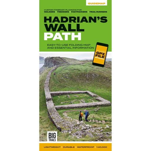
Hadrian's Wall Path Guidemap
£ 14.95This easy-to-use folding map from Vertebrate is unique in that it provides custom itinerary planning for walkers, trekkers, fastpackers and trail r...
View full details£ 14.95 -
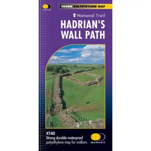
Hadrian's Wall Path Harvey map
£ 16.50Tough, light and 100% waterproof. Detailed mapping with full legend. National Grid - can be used with GPS. 1:40,000 scale. Compact and light - hal...
View full details£ 16.50 -

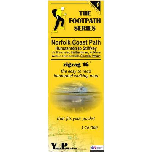
Norfolk Coast Path Zigzag map - 1 - Hunstanton to Stiffkey
£ 9.95As their name suggests, Zigzag maps come in a concertina strip format and with 200cm of mapping, they can follow a long distance footpath at a scal...
View full details£ 9.95 -


Norfolk Coast Path Zigzag map - 2 - Stiffkey to Overstrand
£ 9.95As their name suggests, Zigzag maps come in a concertina strip format and with 200cm of mapping, they can follow a long distance footpath at a scal...
View full details£ 9.95 -
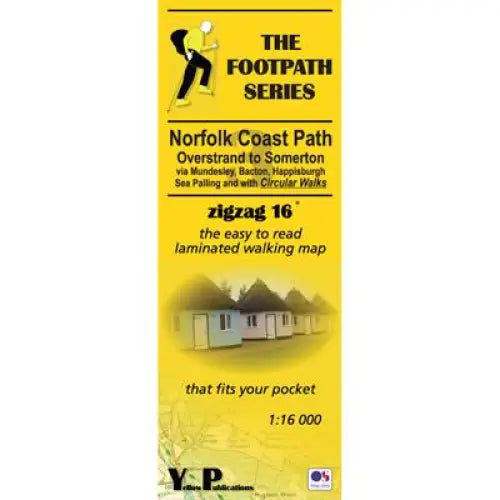
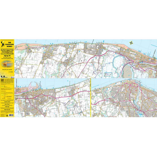
Norfolk Coast Path Zigzag map - 3 - Overstrand to Somerton
£ 9.95As their name suggests, Zigzag maps come in a concertina strip format and with 200cm of mapping, they can follow a long distance footpath at a scal...
View full details£ 9.95 -
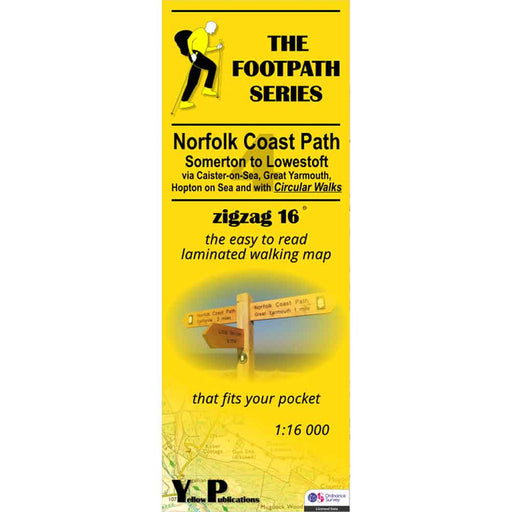
Norfolk Coast Path Zigzag map - 4 - Somerton to Lowestoft
£ 9.95As their name suggests, Zigzag maps come in a concertina strip format and with 200cm of mapping, they can follow a long distance footpath at a scal...
View full details£ 9.95 -


North Downs Way 1 - Zigzag map - Farnham to Dorking
£ 9.95This North Downs Way map covers the start of the trail, from Farnham to Dorking via Seale, Puttenham, St Martha's Hill, Netley Heath & Ranmore ...
View full details£ 9.95 -

North Downs Way 2 - Zigzag map - Dorking to Otford
£ 9.95This North Downs Way map covers the section from Dorking to Otford via Box Hill, Colley Hill, Merstham & Knockholt Pound. What is different ab...
View full details£ 9.95 -

North Downs Way 3 - Zigzag map - Otford to Detling
£ 9.95This North Downs Way map covers the section from Otford to Detling via Wrotham, Trosley Country Park, Cuxton, Burnham Down and Blue Bell Hill. Wha...
View full details£ 9.95 -

North Downs Way 4 - Zigzag map - Detling to Wye
£ 9.95This North Downs Way map covers the section from Detling to Wye via Hollingbourne, Charing Hill, Eastwell Park & Boughton Lees. What is differe...
View full details£ 9.95


