National Trails Maps UK
We have a large selection of National Trail maps available to help you stay on track while enjoying the beautiful views across the UK. The Footpath Series offer zigzag maps that provide a weatherproof, easy to read experience that fits conveniently into your pocket.
-
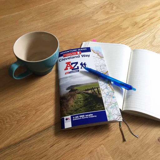
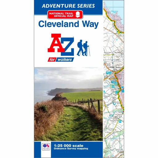
Cleveland Way A-Z Adventure Atlas
£ 8.95This official National Trail Map of the Cleveland Way features 39 pages of continuous Ordnance Survey 1:25000 mapping providing complete coverage o...
View full details£ 8.95 -
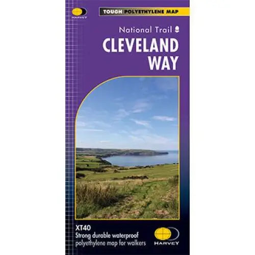
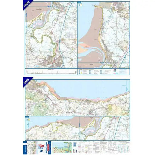
Cleveland Way National Trail Harvey map
£ 14.50Tough, light and 100% waterproof. Detailed mapping with full legend. National Grid - can be used with GPS. 1:40,000 scale. Compact and light - hal...
View full details£ 14.50 -
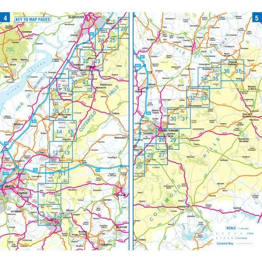
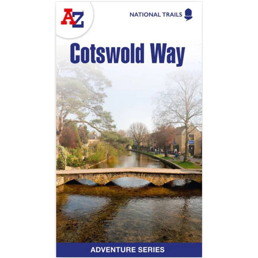
Cotswold Way A-Z Adventure Atlas - 2024 edition
£ 9.99New for 2024, this A-Z Adventure series map of the Cotswold Way uses 1:25k scale mapping in a convenient book format. Covering the entire Cotswold...
View full details£ 9.99 -
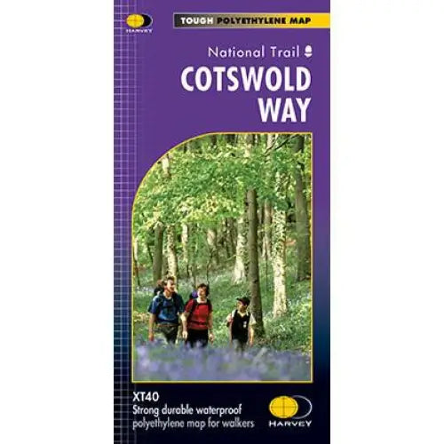
Cotswold Way Harvey map
£ 14.50This map is tough, light and 100% waterproof. Detailed mapping of the Cotswold Way with full legend. National Grid - can be used with GPS. 1:40,000...
View full details£ 14.50 -
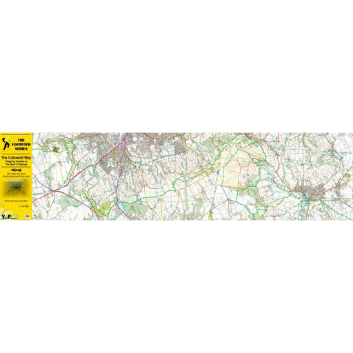
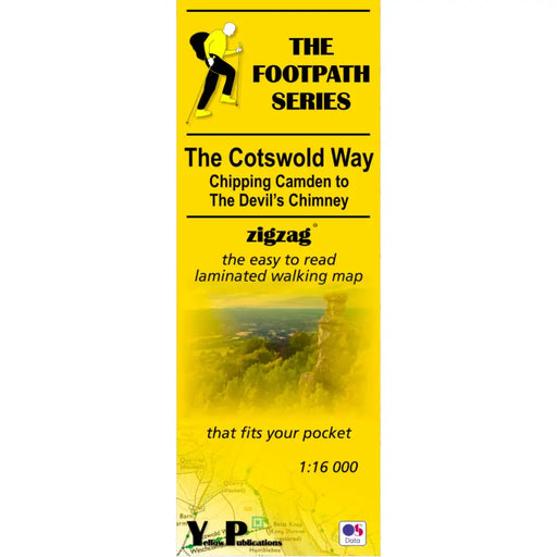
Cotswold Way Zigzag map - Chipping Campden to The Devil's Chimney
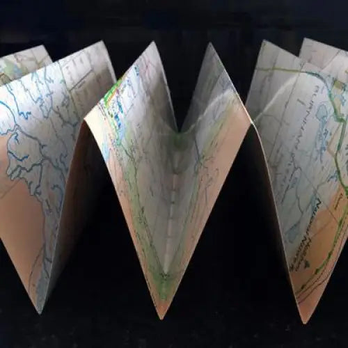
£ 7.99As their name suggests, Zigzag maps come in a concertina strip format and with 200cm of mapping, they can follow a long distance footpath at a scal...
View full details£ 7.99 -

Cotswold Way Zigzag map - Dursley to Bath
£ 7.99As their name suggests, Zigzag maps come in a concertina strip format and with 200cm of mapping, they can follow a long distance footpath at a scal...
View full details£ 7.99 -

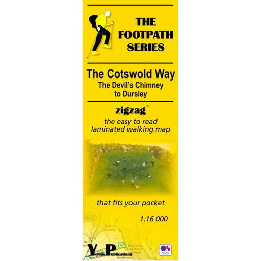
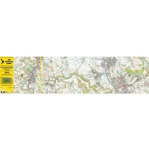
Cotswold Way Zigzag map - The Devil's Chimney to Dursley
£ 7.99As their name suggests, Zigzag maps come in a concertina strip format and with 200cm of mapping, they can follow a long distance footpath at a scal...
View full details£ 7.99 -
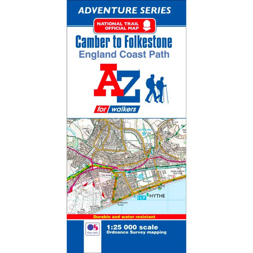
England Coast Path Camber to Folkestone A-Z Adventure Map
£ 5.95This official Camber to Folkestone Adventure Map covers a 29 mile (47 km) section of the England Coast Beginning in East Sussex, the majority of th...
View full details£ 5.95 -
 Sold out
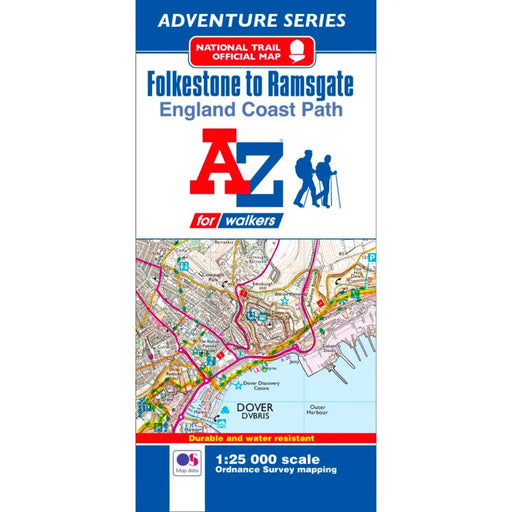
England Coast Path Folkestone to Ramsgate A-Z Adventure Map
£ 5.95This official Folkestone to Ramsgate Adventure Map covers a 36.5 mile (59 km) section of the England Coast Path.Following the south east Kent coast...
View full details£ 5.95Sold out -
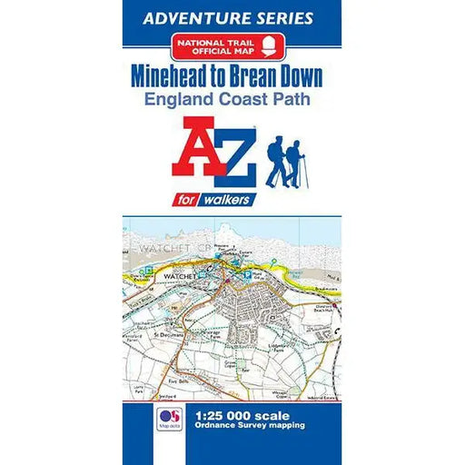
England Coast Path Minehead to Brean A-Z Adventure Map
£ 4.95This official Minehead to Brean Down Adventure Map covers a 58 mile (93km) section of the England Coast Path.The path along the Somerset coastline ...
View full details£ 4.95 -
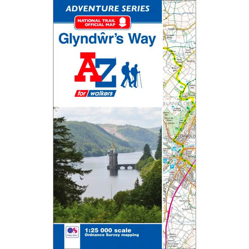
Glyndwr's Way Map - National Trail A-Z Map
£ 8.95The official Glyndwr’s Way map features continuous Ordnance Survey 1:25000 mapping for the entire National Trail in a convenient book format. Cont...
View full details£ 8.95 -
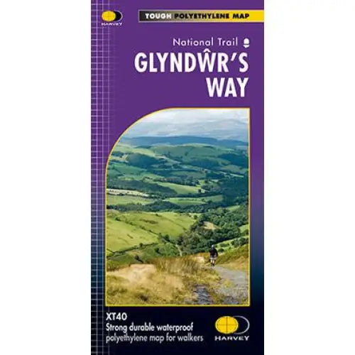
Glyndwr's Way Harvey map
£ 14.50Compact and light - the map itself weighs just 60gms - a third of the weight of a laminated map, and much less bulky. And you can fold or refold it...
View full details£ 14.50 -
 Sold out
Hadrian's Wall Path A-Z Adventure Atlas
£ 8.95This map is now out of stock, and we don't know if the publishers will produce more. An alternative is the Hadrian's Wall Path Guidemap or the Harv...
View full details£ 8.95Sold out -
Hadrian's Wall Path Harvey map
£ 14.50Tough, light and 100% waterproof. Detailed mapping with full legend. National Grid - can be used with GPS. 1:40,000 scale. Compact and light - hal...
View full details£ 14.50 -
Hadrian's Wall Path Guidemap
£ 14.95This easy-to-use folding map from Vertebrate is unique in that it provides custom itinerary planning for walkers, trekkers, fastpackers and trail r...
View full details£ 14.95 -
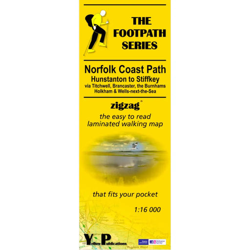
Norfolk Coast Path Zigzag map - Hunstanton to Stiffkey
£ 7.99As their name suggests, Zigzag maps come in a concertina strip format and with 200cm of mapping, they can follow a long distance footpath at a scal...
View full details£ 7.99 -
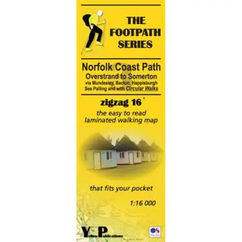
Norfolk Coast Path Zigzag map - Overstrand to Somerton
£ 7.99As their name suggests, Zigzag maps come in a concertina strip format and with 200cm of mapping, they can follow a long distance footpath at a scal...
View full details£ 7.99 -
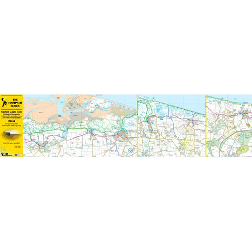
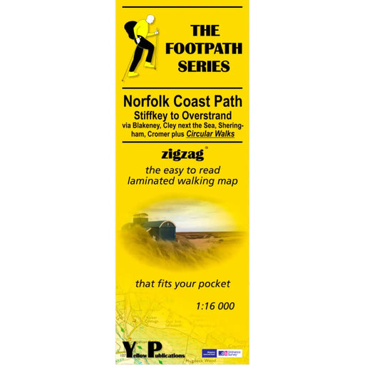
Norfolk Coast Path Zigzag map - Stiffkey to Overstrand
£ 7.99As their name suggests, Zigzag maps come in a concertina strip format and with 200cm of mapping, they can follow a long distance footpath at a scal...
View full details£ 7.99 -
 Sold out
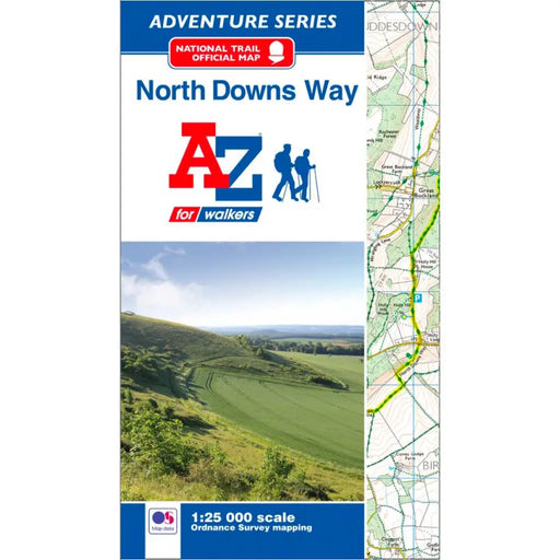
North Downs Way A-Z Adventure Atlas
£ 8.95This map is no longer available. We recommend the Cicerone North Downs Way map booklet or Harvey's North Downs Way map as alternatives. ----------...
View full details£ 8.95Sold out -
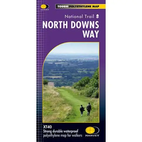
North Downs Way Harvey map
£ 14.95Compact and light - the map itself weighs just 60gms - a third of the weight of a laminated map, and much less bulky. And you can fold or refold it...
View full details£ 14.95 -
 Save 25%
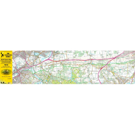
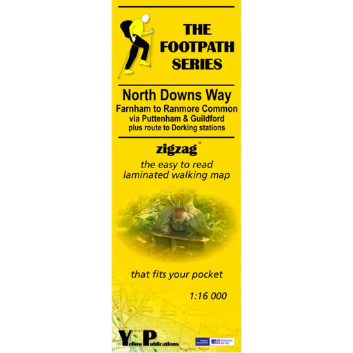
North Downs Way Zigzag map - Farnham to Ranmore Common
Original price £ 7.99Current price £ 5.99As their name suggests, Zigzag maps come in a concertina strip format and with 200cm of mapping, they can follow a long distance footpath at a scal...
View full detailsOriginal price £ 7.99Current price £ 5.99Save 25% -
 Sold out
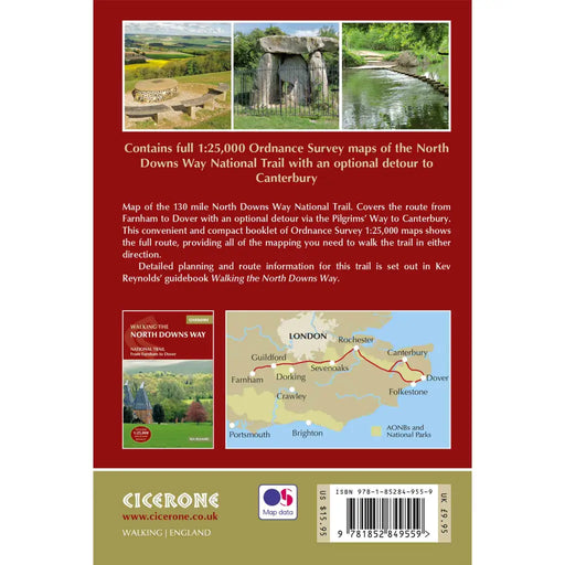
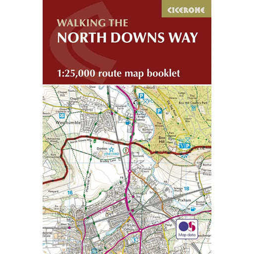
Walking the North Downs Way map booklet
£ 9.95The very best map to accompany you on your exploration of the North Downs Way. This pocket-sized map booklet gives clear Ordnance Survey 1:25,000 s...
View full details£ 9.95Sold out -
 Sold out
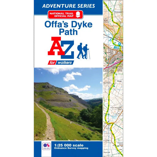
Offa's Dyke Path A-Z Adventure Atlas
£ 8.95We're sorry but the Offa's Dyke Path A-Z Adventure Atlas is out of stock and is unlikely to be re-printed. Please browse our other maps and guides...
View full details£ 8.95Sold out -
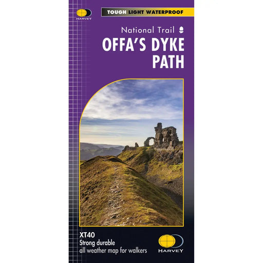
Offa's Dyke Path - Harvey map
£ 15.95The entire Offa's Dyke Path National Trail on one map. Tough, light and 100% waterproof. Detailed mapping with full legend. National Grid - can be...
View full details£ 15.95


