Long Distance Hiking Trails UK Maps
Are you looking for a longer walk to enjoy beautiful views and keep active? Our long distance hiking trails UK maps can help you keep on track and reach your destination safely.
Our Cotswold Way Harvey SplashMap is printed onto weatherproof, washable, wearable, breathable material to stay useful during wetter weather. If you are looking for a challenging route, our waterproof My Minimap National Three Peaks Challenge Series is the perfect choice.
-


National Trails poster - which ones have you done?
from £ 6.75Exclusive to The Trails Shop, this lovely poster shows all of the National Trails in England and Wales, including open sections of the King Charles...
View full detailsfrom £ 6.75 -
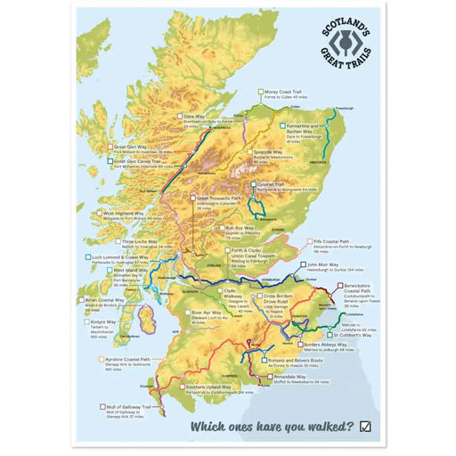
Scotland's Great Trails poster - which ones have you walked?
from £ 6.75Exclusive to The Trails Shop, this lovely poster shows all of Scotland's Great Trails. Each Trail is named, and there’s space for you to tick off t...
View full detailsfrom £ 6.75 -
 Save 27%
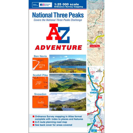
A-Z Adventure Atlas National Three Peaks
Original price £ 9.95Current price £ 7.25The A-Z Adventure series features the accuracy and quality of Ordnance Survey's Explorer mapping in a convenient book, eliminating the need to fold...
View full detailsOriginal price £ 9.95Current price £ 7.25Save 27% -
 Sold out
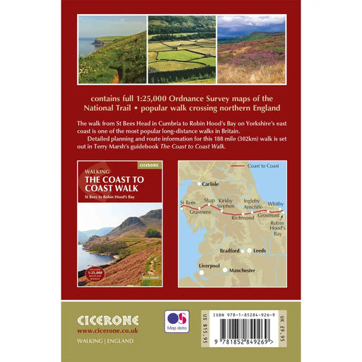
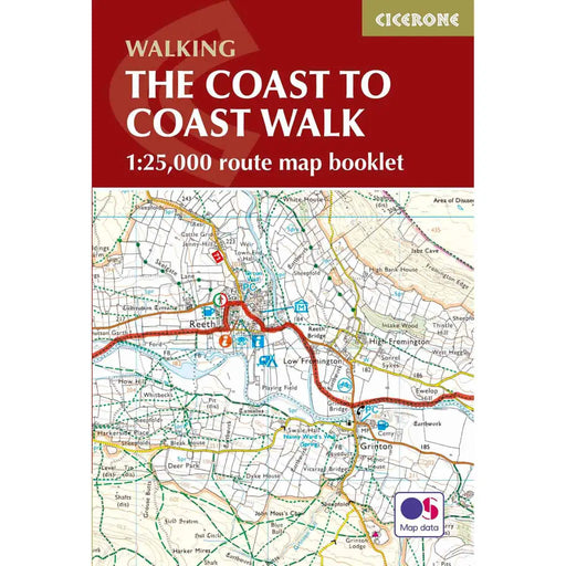
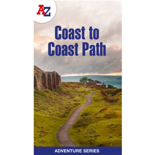
Cicerone Coast to Coast Walk OS Map Booklet
£ 12.95The Cicerone Press Coast to Coast OS Map Booklet is the perfect companion to guide you on your way from St Bees in Cumbria to Robin Hood’s Bay in N...
View full details£ 12.95Sold out -
 Sold out
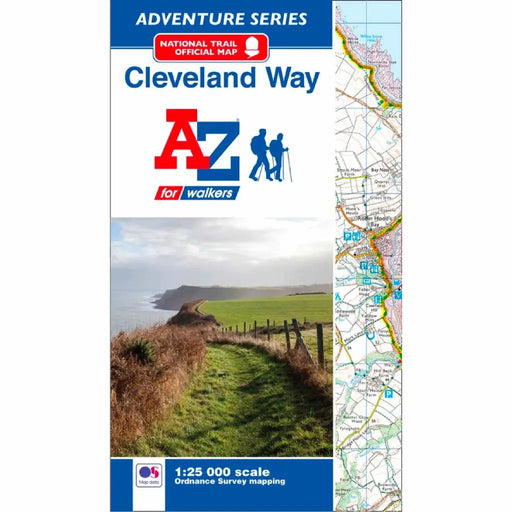
Cleveland Way A-Z Adventure Atlas
£ 8.95This map is out of print. We recommend the Cicerone Press Cleveland Way map booklet or the Cleveland Way Harvey map as an alternative. -----------...
View full details£ 8.95Sold out -
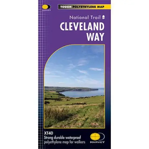
Cleveland Way National Trail Harvey map
£ 16.50Tough, light and 100% waterproof. Detailed mapping with full legend. National Grid - can be used with GPS. 1:40,000 scale. Compact and light - hal...
View full details£ 16.50 -
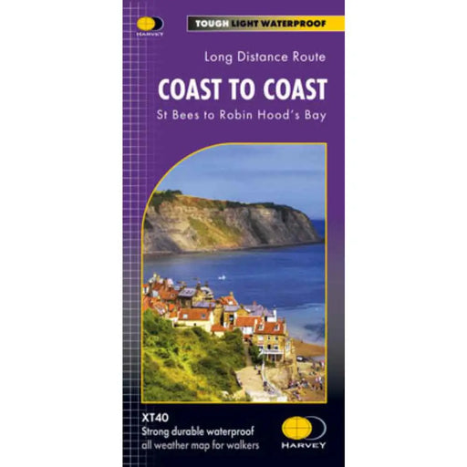
Coast to Coast Harvey map
£ 17.50Harvey Maps for the Coast to Coast Walk showing the entire trail from St Bees to Robin Hood's Bay. The Coast to Coast is a 307km (192 miles) walk...
View full details£ 17.50 -
 Sold out
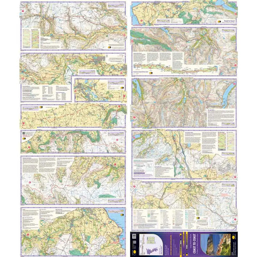
Coast to Coast Walk A-Z Adventure Atlas
£ 9.99This map is currently out of print. A new edition is planned for 2027. As an alternative we recommend the Cicerone Coast to Coast map booklet. http...
View full details£ 9.99Sold out -
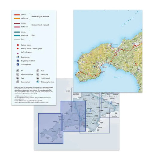
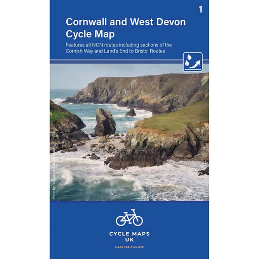
Cornwall and West Devon Cycle Map - map 1
£ 6.99This Cornwall and West Devon Cycling map features all the NCN routes including sections of the Cornish Way and Land's End to Bristol cycle routes...
View full details£ 6.99 -
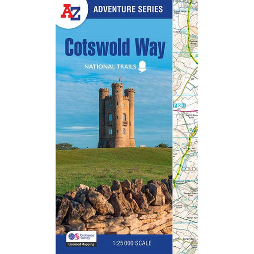
Cotswold Way A-Z Adventure Atlas - 2025 edition
£ 11.99New for 2025, this A-Z Adventure series map of the Cotswold Way uses 1:25k scale Ordnance Survey mapping in a convenient book format. Covering the...
View full details£ 11.99 -
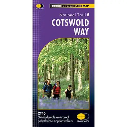
Cotswold Way Harvey map
£ 15.95This map is tough, light and 100% waterproof. Detailed mapping of the Cotswold Way with full legend. National Grid - can be used with GPS. 1:40,000...
View full details£ 15.95 -
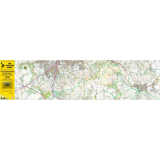
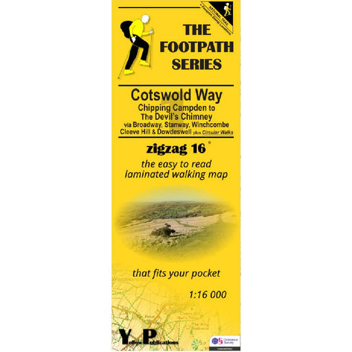
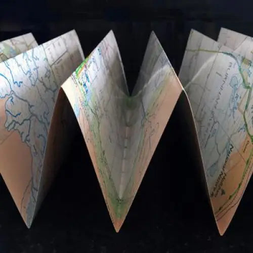
Cotswold Way 1 - Chipping Campden to The Devil's Chimney - Zigzag map
£ 9.95As their name suggests, Zigzag maps come in a concertina strip format and with 200cm of mapping, they can follow a long distance footpath at a scal...
View full details£ 9.95 -

Cotswold Way 3 - Dursley to Bath - Zigzag map
£ 9.95As their name suggests, Zigzag maps come in a concertina strip format and with 200cm of mapping, they can follow a long distance footpath at a scal...
View full details£ 9.95 -

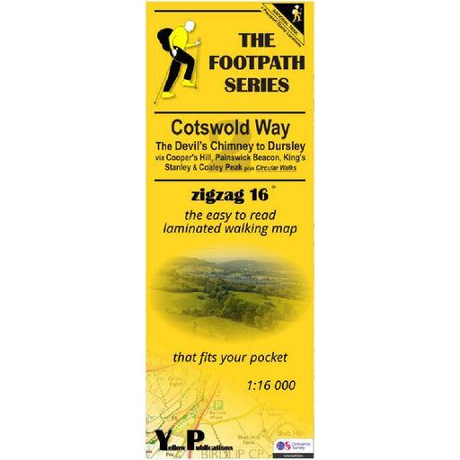
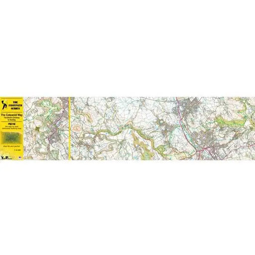
Cotswold Way 2 - The Devil's Chimney to Dursley - Zigzag map
£ 9.95As their name suggests, Zigzag maps come in a concertina strip format and with 200cm of mapping, they can follow a long distance footpath at a scal...
View full details£ 9.95 -
 Sold out
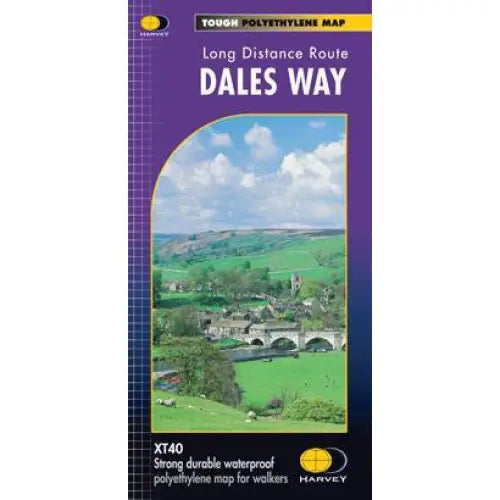
Dales Way Harvey map
£ 14.50The Dales Way is 130km (81 miles) from Ilkley in Yorkshire through the Dales via Grassington, Buckden and Dent to Bowness on Windermere in the La...
View full details£ 14.50Sold out -
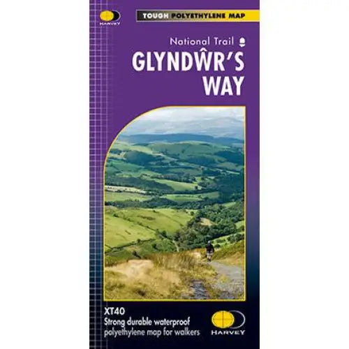
Glyndwr's Way Harvey map
£ 16.50Compact and light - the map itself weighs just 60gms - a third of the weight of a laminated map, and much less bulky. And you can fold or refold it...
View full details£ 16.50 -
 Sold out
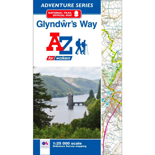
Glyndwr's Way Map - National Trail A-Z Map
£ 8.95This map is now out or print. We recommend the Glyndwr's Way Harvey Map as an alternative. ---------------------------------------------------- T...
View full details£ 8.95Sold out -

Great Glen Way Harvey map
£ 14.50One of Scotland’s Great Trails, the Great Glen Way is 117km (73 miles) long, from Fort William to Inverness via Fort Augustus. It passes along the ...
View full details£ 14.50 -

Hadrian's Wall Path A-Z Adventure Atlas - 2026 edition
£ 11.95We're delighted to see a brand new 2026 edition of the ever-popular A-Z Adventure map for Hadrian's Wall Path. This handy map booklet shows the ent...
View full details£ 11.95 -
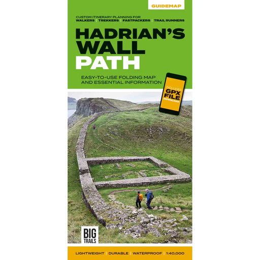
Hadrian's Wall Path Guidemap
£ 14.95This easy-to-use folding map from Vertebrate is unique in that it provides custom itinerary planning for walkers, trekkers, fastpackers and trail r...
View full details£ 14.95 -
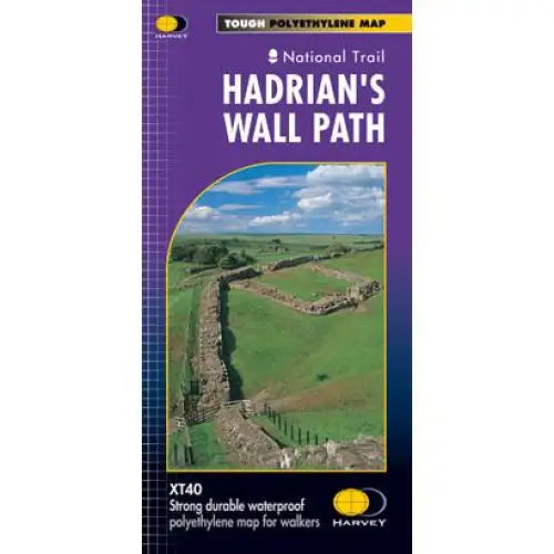
Hadrian's Wall Path Harvey map
£ 16.50Tough, light and 100% waterproof. Detailed mapping with full legend. National Grid - can be used with GPS. 1:40,000 scale. Compact and light - hal...
View full details£ 16.50 -
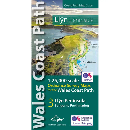
Map of the Llyn Peninsula - Wales Coast Path
£ 9.99Our Map of the Llyn Peninsula covers the official Llyn Peninsula route of the Wales Coast Path. It includes enhanced, large-scale (1: 25,000) OS ma...
View full details£ 9.99 -

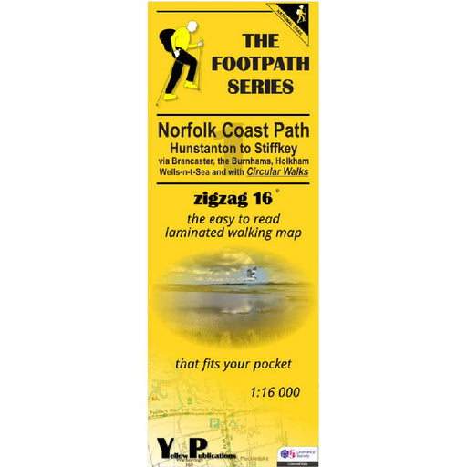
Norfolk Coast Path Zigzag map - 1 - Hunstanton to Stiffkey
£ 9.95As their name suggests, Zigzag maps come in a concertina strip format and with 200cm of mapping, they can follow a long distance footpath at a scal...
View full details£ 9.95 -
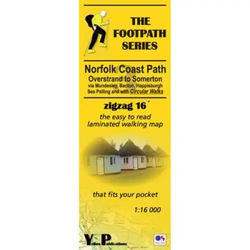
Norfolk Coast Path Zigzag map - 3 - Overstrand to Somerton
£ 9.95As their name suggests, Zigzag maps come in a concertina strip format and with 200cm of mapping, they can follow a long distance footpath at a scal...
View full details£ 9.95


