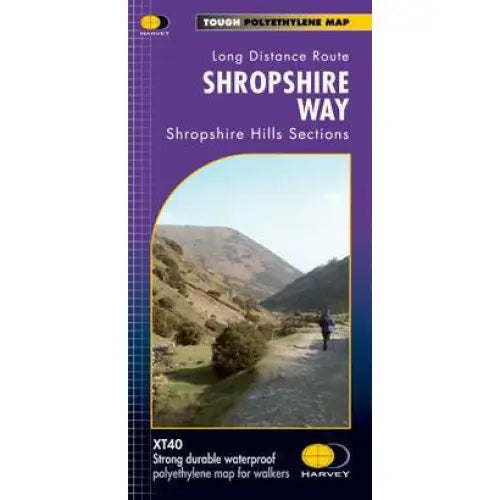
Shropshire Way Harvey map
This map shows the Shropshire Hills, with routes of the Shropshire Way clearly marked. The map covers the majority of the Shropshire Hills Area of Outstanding Beauty, including several popular ridges and hills: Stiperstones, the Long Mynd, Wenlock Edge, Brown Clee Hill and Titterstone Clee Hill.
Shropshire has over 3,500 miles of rights of way and the Shropshire Way is a circular route with a difference. Sections join up to form a network of routes for exploring the Shropshire Hills. There are links to Offa’s Dyke, The Severn Way, the Kerry Ridgeway, the Mortimer Way and the Jack Mytton Way.
Tough, light and 100% waterproof. Detailed mapping with full legend. National Grid - can be used with GPS. 1:40,000 scale.
Compact and light - half the weight of a laminated map, and much less bulky. And you can fold or refold it time and again, or stuff it in your back pocket and it won't fall to pieces. Shows the entire route on one sheet.
- Scale: 1:40,000
- Ratio: 2.5cm = 1km
- Flat size: 972 x 700mm
- Folded size: 116 x 243mm
- Weight: 60gms
- Single sided
- Format: strip map
Supplied in clear plastic pocket.