Harvey Maps
-
 Sale
Sale
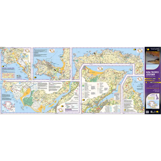
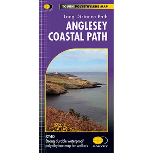
Anglesey Coastal Path Harvey map
£ 14.50| /This is a map covering the whole of the Anglesey Coast Path. It is everything you need to explore this amazing stretch of the Wales Coast Path. At ...
View full details£ 14.50| /Sale -
 Sale
Sale
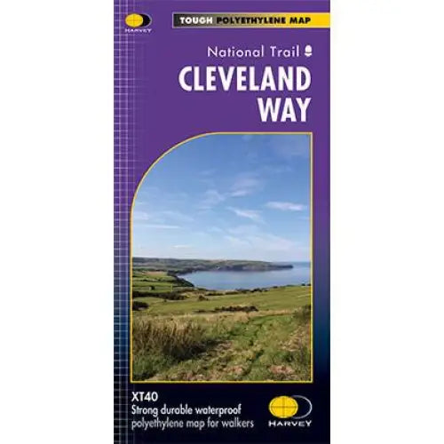
Cleveland Way National Trail Harvey map
£ 15.95| /Tough, light and 100% waterproof. Detailed mapping with full legend. National Grid - can be used with GPS. 1:40,000 scale. Compact and light - hal...
View full details£ 15.95| /Sale -
 Sale
Sale
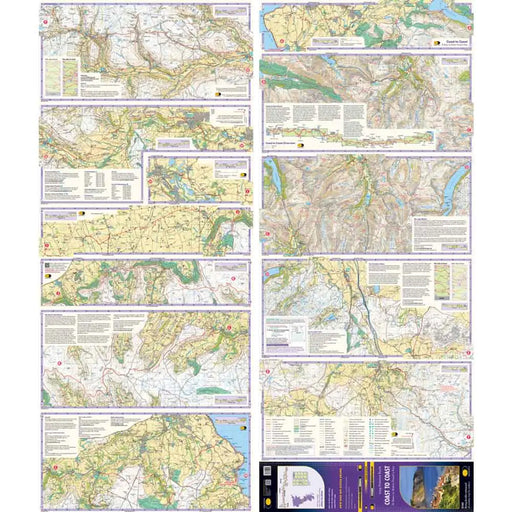
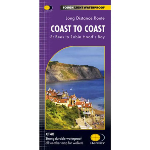
Coast to Coast Harvey map
£ 15.95| /New from Harvey Maps in 2021, a map for the Coast to Coast Walk showing the entire trail from St Bees to Robin Hood's Bay. The Coast to Coast is ...
View full details£ 15.95| /Sale -
 Sale
Sale
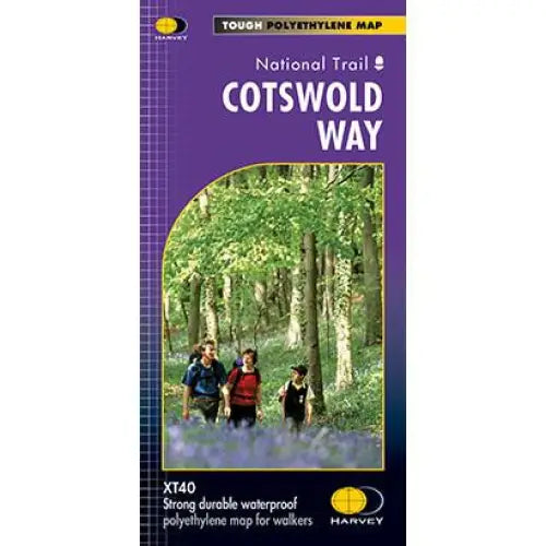
Cotswold Way Harvey map
£ 15.95| /This map is tough, light and 100% waterproof. Detailed mapping of the Cotswold Way with full legend. National Grid - can be used with GPS. 1:40,000...
View full details£ 15.95| /Sale -
 Sale
Sale
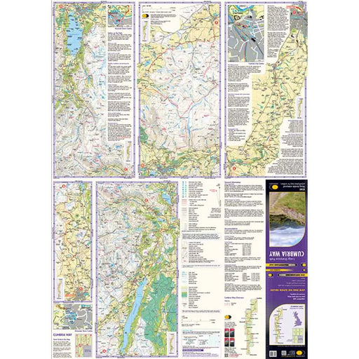
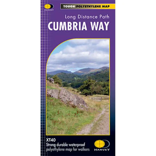
Cumbria Way Harvey map
£ 14.50| /This Cumbria Way map shows the whole 70 mile (112km) route on one map. The Cumbria Way is a popular route through the stunning landscape of the L...
View full details£ 14.50| /Sale -
 Sale
Sale
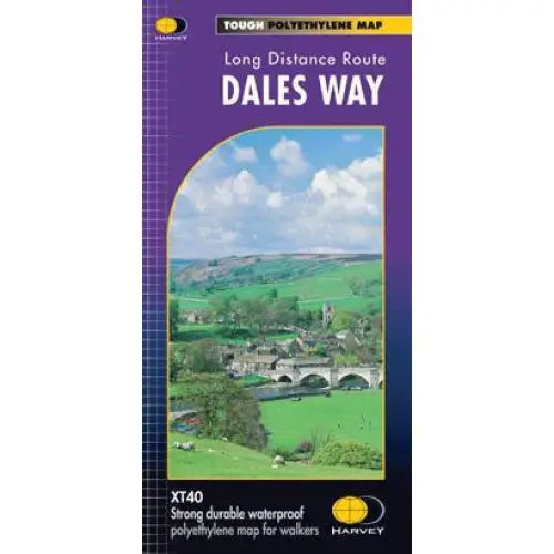
Dales Way Harvey map
£ 14.50| /The Dales Way is 130km (81 miles) from Ilkley in Yorkshire through the Dales via Grassington, Buckden and Dent to Bowness on Windermere in the Lak...
View full details£ 14.50| /Sale -
 Sale
Sale
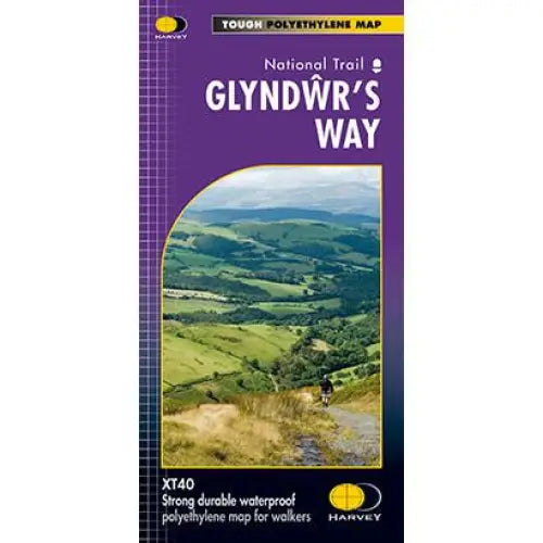
Glyndwr's Way Harvey map
£ 15.95| /Compact and light - the map itself weighs just 60gms - a third of the weight of a laminated map, and much less bulky. And you can fold or refold it...
View full details£ 15.95| /Sale -
 Sale
Sale
Great Glen Way Harvey map
£ 14.50| /One of Scotland’s Great Trails, the Great Glen Way is 117km (73 miles) long, from Fort William to Inverness via Fort Augustus. It passes along the ...
View full details£ 14.50| /Sale -
 Sale
Sale
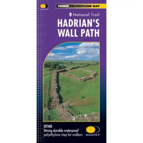
Hadrian's Wall Path Harvey map
£ 15.95| /Tough, light and 100% waterproof. Detailed mapping with full legend. National Grid - can be used with GPS. 1:40,000 scale. Compact and light - hal...
View full details£ 15.95| /Sale -
 Sale
Sale
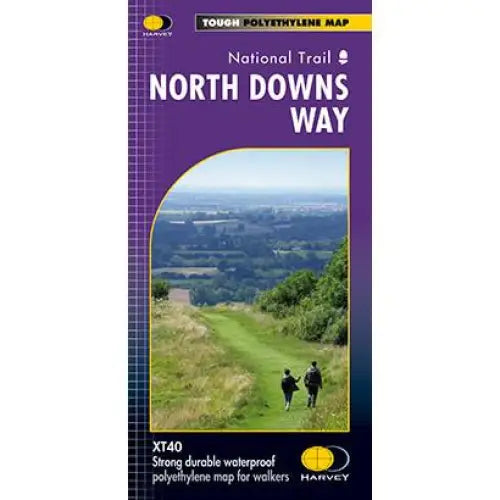
North Downs Way Harvey map
£ 15.95| /Compact and light - the map itself weighs just 60gms - a third of the weight of a laminated map, and much less bulky. And you can fold or refold it...
View full details£ 15.95| /Sale -
 Sale
Sale
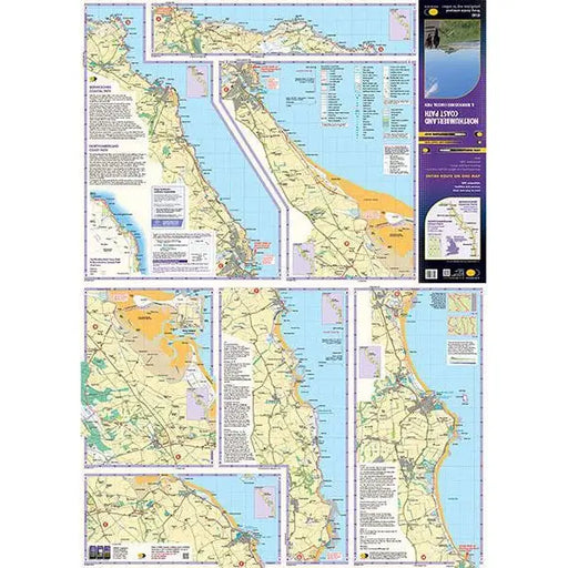
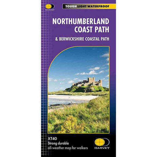
Northumberland Coast Path Harvey map
£ 15.95| /Updated in 2023 this map of the Northumberland Coast Path also covers the Berwickshire Coastal Path. The Northumberland Coast Path stretches for 10...
View full details£ 15.95| /Sale -
 Sale
Sale
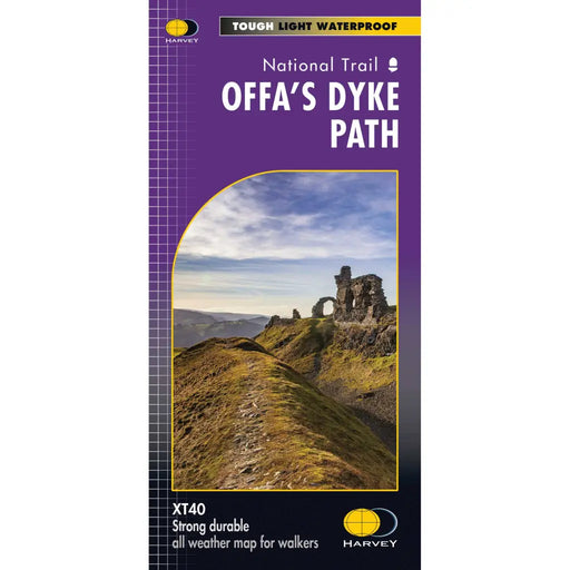
Offa's Dyke Path - Harvey map
£ 17.50| /The entire Offa's Dyke Path National Trail on one map. Tough, light and 100% waterproof. Detailed mapping with full legend. National Grid - can b...
View full details£ 17.50| /Sale -
 Sale
Sale
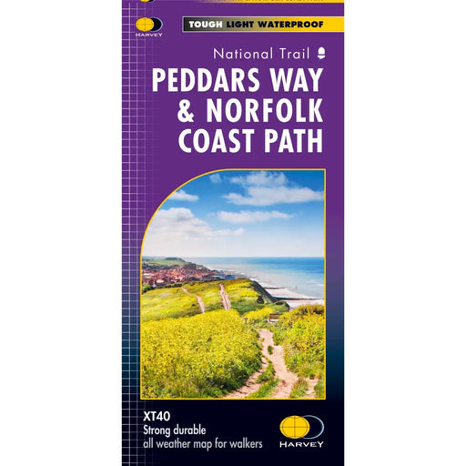
Peddars Way & Norfolk Coast Path Harvey map
£ 15.95| /Tough, light and 100% waterproof. Detailed mapping with full legend. Compact and light - half the weight of a laminated map, and much less bulky. ...
View full details£ 15.95| /Sale -
 Sale
Sale
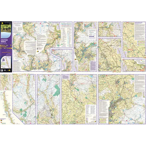
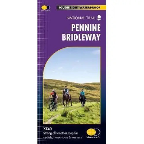
Pennine Bridleway Harvey map
£ 17.50| /This map, published in 2021, covers the whole 205 mile Pennine Bridleway National Trail from Middleton Top in Derbyshire to Ravenstonedale in Cumbr...
View full details£ 17.50| /Sale -
 Sale
Sale
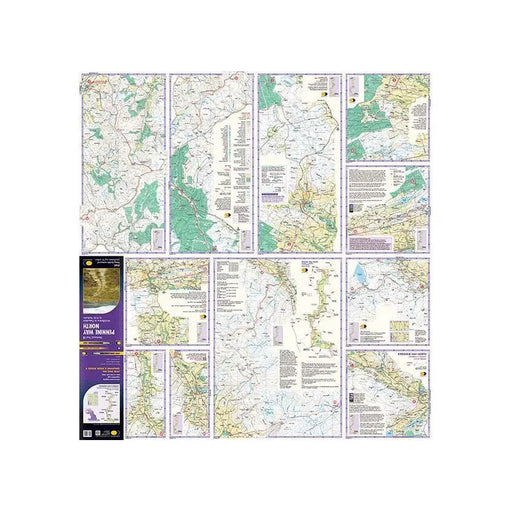
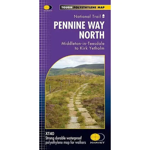
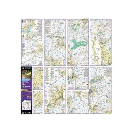
Pennine Way (North) - Harvey map - Middleton-in-Teesdale to Kirk Yetholm
£ 17.50| /This Harvey map of the Pennine Way covers the northern section of the Trail from Middleton-in-Teesdale to Kirk Yetholm. Please note, the new Harvey...
View full details£ 17.50| /Sale -
 Sale
Sale
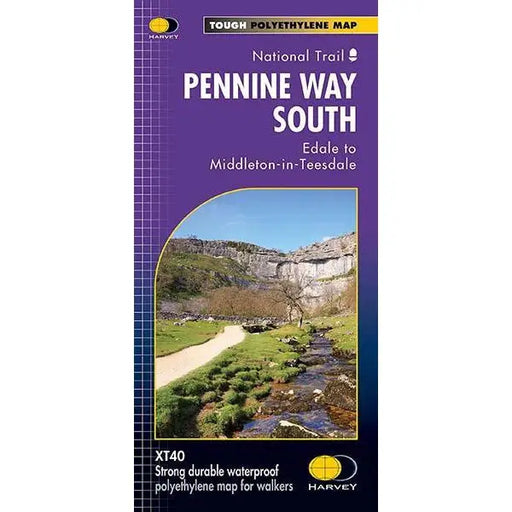
Pennine Way (South) - Harvey map - Edale to Middleton-in-Teesdale
£ 17.50| /This Harvey map of the Pennine Way covers the southern section of the Trail from Edale to Middleton-in-Teesdale. Tough, light, durable and 100% wa...
View full details£ 17.50| /Sale -
 Sale
Sale
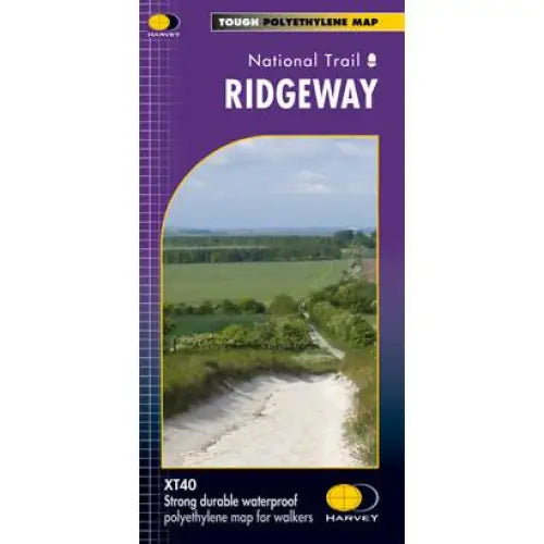
Ridgeway Harvey map
£ 15.95| /Compact and light - the map itself weighs just 60gms - a third of the weight of a laminated map, and much less bulky. And you can fold or refold it...
View full details£ 15.95| /Sale -
 Sale
Sale
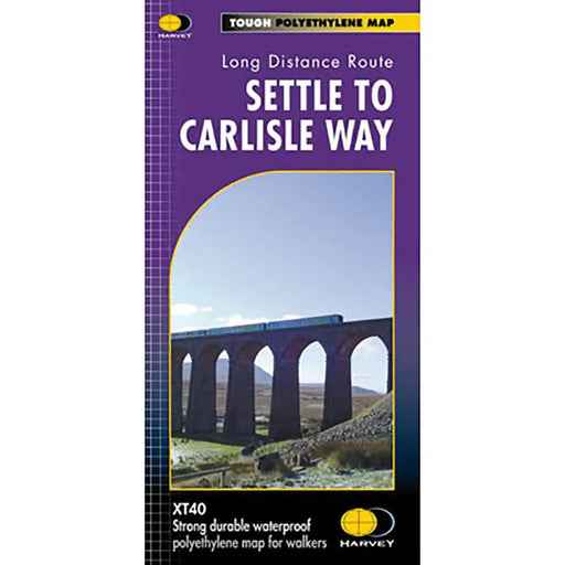
Settle to Carlisle Way Harvey map
£ 14.50| /Settle Carlisle Way is a 154km (96 miles) walking route linking the stations of the famous and scenic Settle-Carlisle Railway Line. This map gives...
View full details£ 14.50| /Sale -
 Sale
Sale
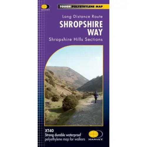
Shropshire Way Harvey map
£ 14.50| /This map shows the Shropshire Hills, with routes of the Shropshire Way clearly marked. The map covers the majority of the Shropshire Hills Area of...
View full details£ 14.50| /Sale -
 Sale
Sale
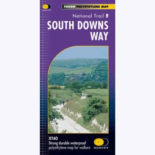
South Downs Way Harvey map
£ 15.95| /Tough, light and 100% waterproof. Detailed mapping with full legend. National Grid - can be used with GPS. 1:40,000 scale. Compact and light - hal...
View full details£ 15.95| /Sale -
 Sale
Sale
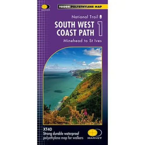
South West Coast Path 1 Harvey map
£ 14.50| /Three HARVEY maps cover the whole 630 mile route. Each map covers a section of the Path suitable for 2 weeks of walking. Map 1 covers the Path from...
View full details£ 14.50| /Sale -
 Sale
Sale
South West Coast Path 2 Harvey map
£ 15.95| /Three HARVEY maps cover the whole 630 mile route. Each map covers a section of the Path suitable for 2 weeks of walking. Map 2 covers the Path from...
View full details£ 15.95| /Sale -
 Sale
Sale
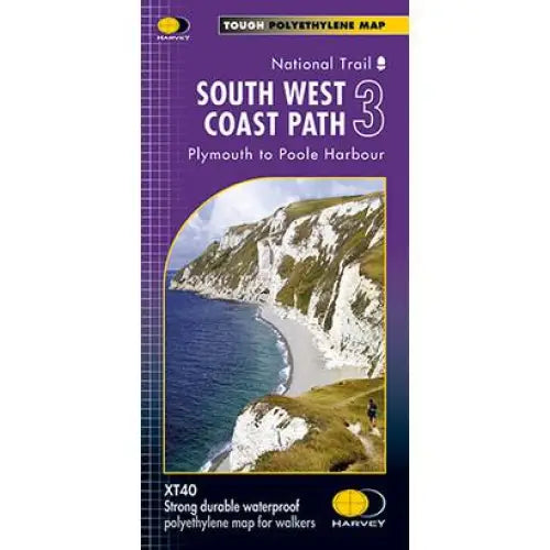
South West Coast Path 3 Harvey map
£ 14.50| /Three HARVEY maps cover the whole 630 mile route. Each map covers a section of the Path suitable for 2 weeks of walking. Map 2 covers the Path from...
View full details£ 14.50| /Sale -
 Sale
Sale
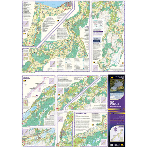
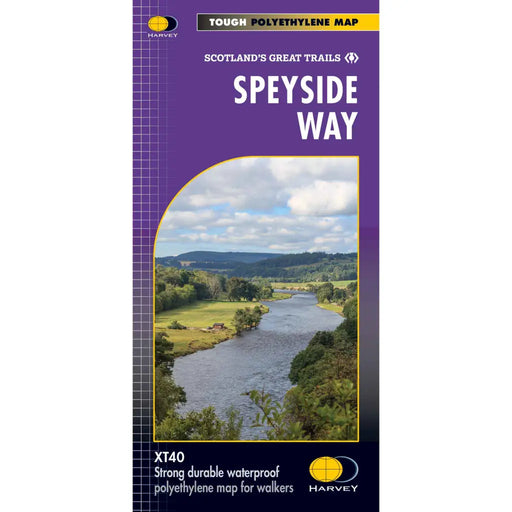
Speyside Way Harvey map
£ 14.50| /This Harvey map of the Speyside Way shows the route in its entirety, including the recent extension from Kincraig to Newtonmore, on one lightweight...
View full details£ 14.50| /Sale


