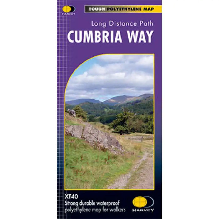
Cumbria Way Harvey map
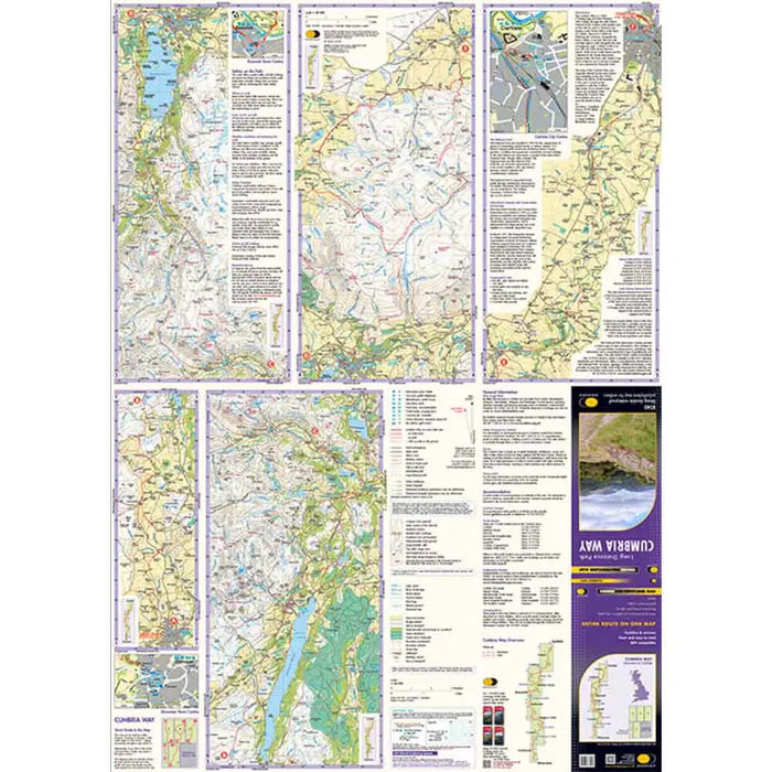
This Cumbria Way map shows the whole 70 mile (112km) route on one map. The Cumbria Way is a popular route through the stunning landscape of the Lake District. Easily completed in a week or less it mostly passes through valleys rather than over high tops, so is a route that most people can tackle. If you've always fancied a long distance walk but not tried one, the Cumbria Way could be the one for you.
Just because it isn't the hardest route it doesn't mean that you miss out though - the scenery is amazing and you pass through the beauty spots of Coniston, Dungeon Ghyll, Keswick and the beautiful village of Caldbeck.
Harvey Maps are robust, long lasting and waterproof. designed for outdoor enthusiasts they have the essential information to make navigating in the countryside easy.
Tough, light and 100% waterproof. Detailed mapping with full legend. National Grid - can be used with GPS. 1:40,000 scale.
Published 2023
Compact and light - half the weight of a laminated map, and much less bulky. And you can fold or refold it time and again, or stuff it in your back pocket and it won't fall to pieces. Shows the entire route on one sheet.
- Scale: 1:40,000
- Ratio: 2.5cm = 1km
- Flat size: 972 x 700mm
- Folded size: 116 x 243mm
- Weight: 40gms
- Single sided
- Format: strip map

