Trail maps and guidebooks
-
 Sold out
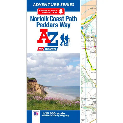
Peddars Way & Norfolk Coast Path A-Z Adventure Atlas
£ 8.95| /The A-Z Adventure series features the accuracy and quality of the 25k OS Explorer mapping in a convenient book, complete with index. This A-Z Adve...
View full details£ 8.95| /Sold out -
 Sale
Sale
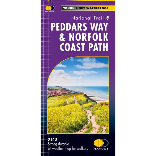
Peddars Way & Norfolk Coast Path Harvey map
£ 15.95| /Tough, light and 100% waterproof. Detailed mapping with full legend. Compact and light - half the weight of a laminated map, and much less bulky. ...
View full details£ 15.95| /Sale -
 Sale
Sale
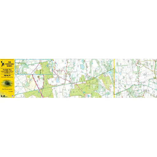
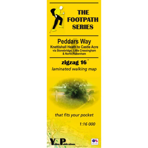
Peddars Way 1 - Knettishall Heath to Castle Acre - Zigzag map
£ 9.95| /As their name suggests, Zigzag maps come in a concertina strip format and with 200cm of mapping, they can follow a long distance footpath at a scal...
View full details£ 9.95| /Sale -

 Sale
Sale
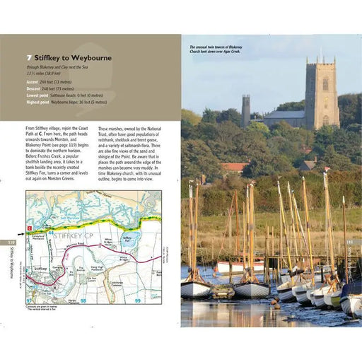
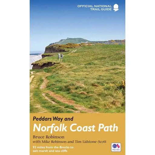
Peddars Way 2 - Castle Acre to Holme next the Sea - Zigzag map
£ 9.95| /As their name suggests, Zigzag maps come in a concertina strip format and with 200cm of mapping, they can follow a long distance footpath at a scal...
View full details£ 9.95| /Sale -
 Sale
Sale
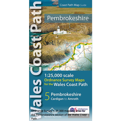
Peddars Way and Norfolk Coast Path
£ 14.99| /This official guide by Bruce Robinson is the only Trail companion you need. With colour extracts from the Ordnance Survey's Explorer series at 1:25...
View full details£ 14.99| /Sale -
 Sale
Sale
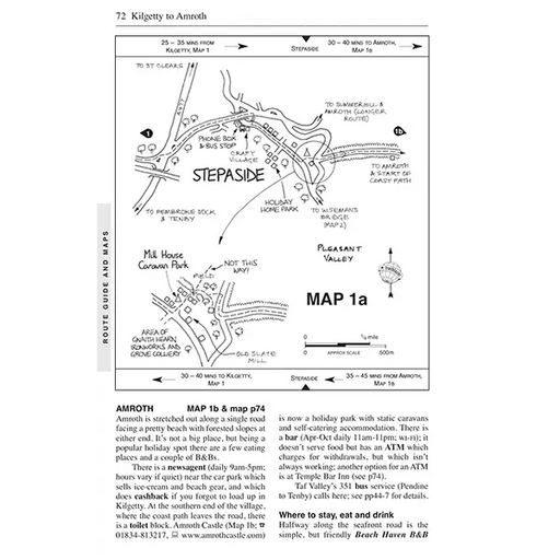
Pembrokeshire and the Pembrokeshire Coast Path Map - Wales Coast Path
£ 9.99| /Fabulous pocket-sized map booklet of Pembrokeshire showing the Pembrokeshire Coast Path National Trail and the Pembrokeshire section of the wales C...
View full details£ 9.99| /Sale -
 Sale
Sale
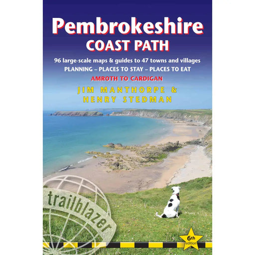
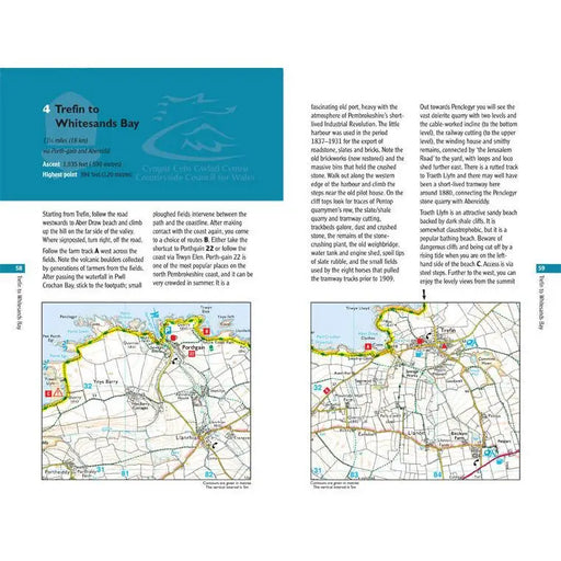
Pembrokeshire Coast Path
£ 12.99| /The largest scale walking maps available – at just under 1:20,000 – Trailblazer's maps are bigger than even the most detailed walking maps current...
View full details£ 12.99| /Sale -
 Sale
Sale
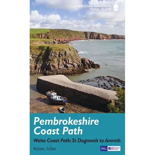
Pembrokeshire Coast Path - Wales Coast Path: St Dogmaels to Amroth
£ 14.99| /The official guide to the Pembrokeshire Coast Path by Brian John has colour extracts from the Ordnance Survey's Explorer series at 1:25,000 showing...
View full details£ 14.99| /Sale -
 Sale
Sale
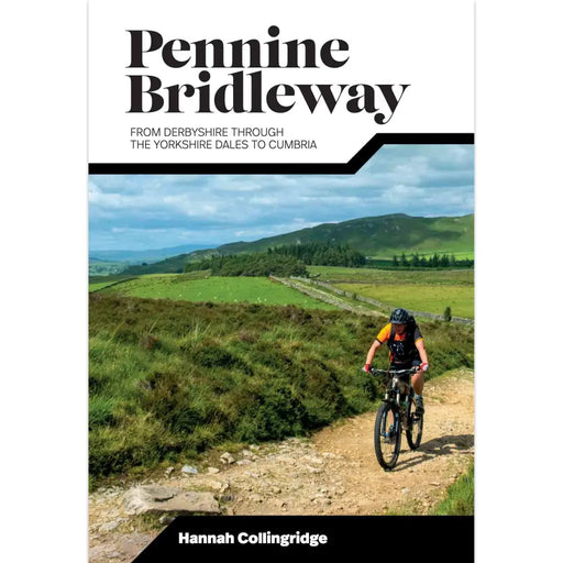
Pennine Bridleway
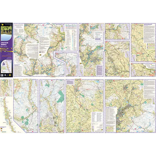
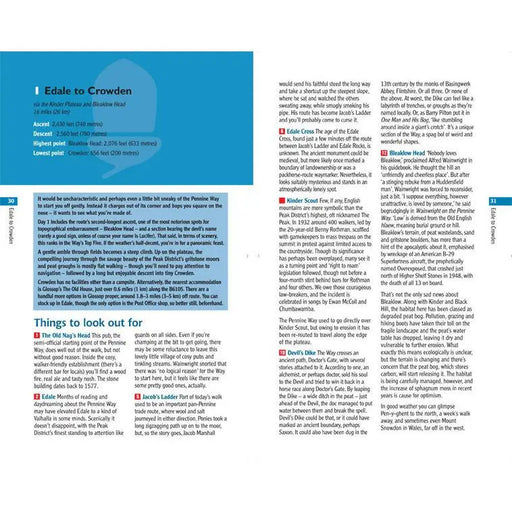
£ 15.95| /Researched, ridden and written by mountain biking expert and freelance writer Hannah Collingridge, this cycling guidebook to the Pennine Bridleway ...
View full details£ 15.95| /Sale -
 Sale
Sale
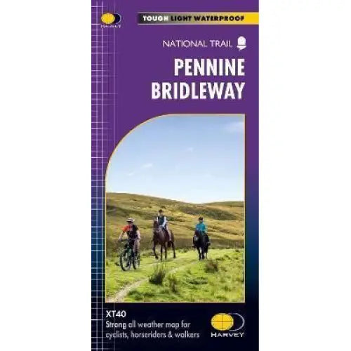
Pennine Bridleway Harvey map
£ 15.95| /This map, published in 2021, covers the whole 205 mile Pennine Bridleway National Trail from Middleton Top in Derbyshire to Ravenstonedale in Cumbr...
View full details£ 15.95| /Sale -
 Sale
Sale
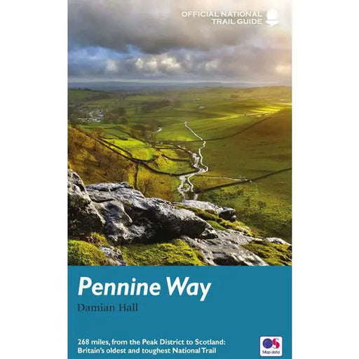
Pennine Way
£ 14.99| /This official guide written by Damian Hall has all the information you need to enjoy the oldest, and some say the best, of the National Trails. The...
View full details£ 14.99| /Sale -
 Sale
Sale
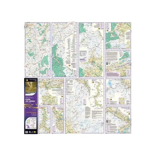
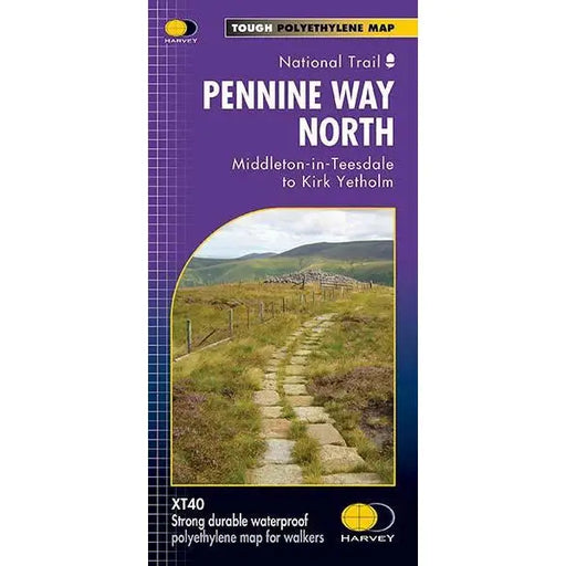
Pennine Way (North) - Harvey map - Middleton-in-Teesdale to Kirk Yetholm
£ 15.95| /This Harvey map of the Pennine Way covers the northern section of the Trail from Middleton-in-Teesdale to Kirk Yetholm. Please note, the new Harvey...
View full details£ 15.95| /Sale -
 Sale
Sale
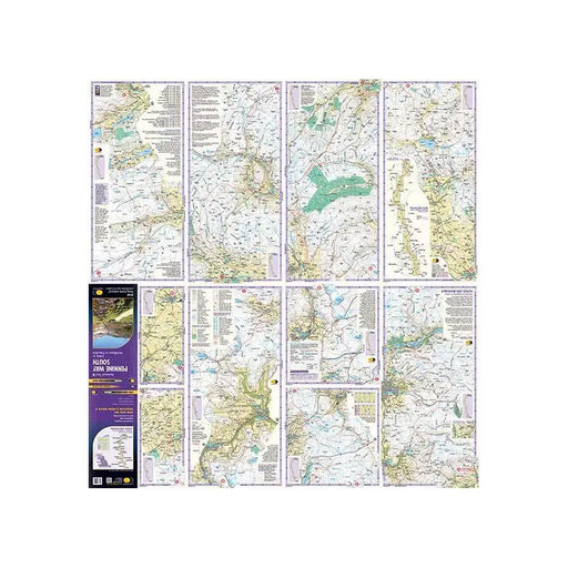
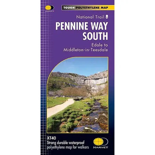
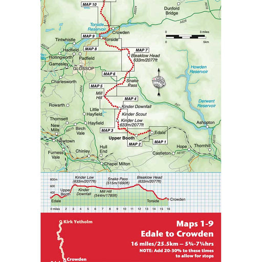
Pennine Way (South) - Harvey map - Edale to Middleton-in-Teesdale
£ 17.50| /This Harvey map of the Pennine Way covers the southern section of the Trail from Edale to Middleton-in-Teesdale. Tough, light, durable and 100% wa...
View full details£ 17.50| /Sale -
 Sale
Sale
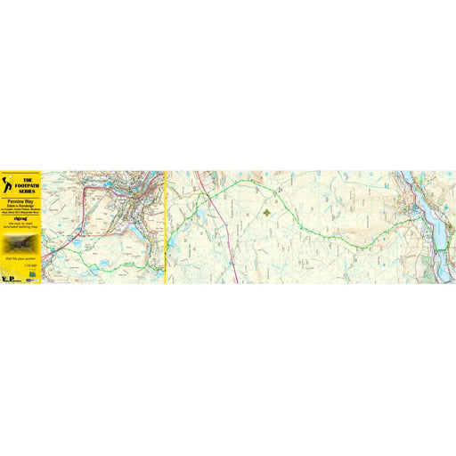
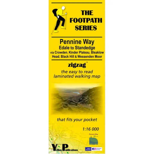
Pennine Way 1 - Zigzag map - Edale to Standedge
£ 9.95| /This Pennine Way map covers the section between Edale and Standedge via Crowden, Kinder Plateau, Bleaklow Head, Black Hill and Wessenden Moor. What...
View full details£ 9.95| /Sale -

 Sale
Sale
Pennine Way 2 - Standedge to Ickornshaw - Zigzag map
£ 9.95| /This Pennine Way map covers the section between Standedge and Ickornshaw via Blackstone Edge, Stoodly Pike, Calderdale and Ickornshaw Moor. What i...
View full details£ 9.95| /Sale -

 Sale
Sale
Pennine Way 3 - Ickornshaw to Horton in Ribblesdale- Zigzag map
£ 9.95| /This Pennine Way map covers the southern Yorkshire Dales section between Ickornshaw and Horton in Ribblesdale via Gargrave, Malham and Pen-y-Ghent ...
View full details£ 9.95| /Sale -

 Sale
Sale
Pennine Way 4 - Horton in Ribblesdale to Keld - Zigzag map
£ 9.95| /This Pennine Way map covers the mid-Yorkshire Dales section between Horton in Ribblesdale and Keld via Hawes, Wensleydale, Great Shunner fell and S...
View full details£ 9.95| /Sale -

 Sale
Sale
Pennine Way 5 - Keld to Forest in Teesdale - Zigzag map
£ 9.95| /This Pennine Way map covers the section between Keld and Forest-in-Teesdale via Tan Hill, Sleightholme Moor, Bowes, Middleton in Teesdale, High For...
View full details£ 9.95| /Sale -

 Sale
Sale
Pennine Way 6 - Forest in Teesdale to Garrigill - Zigzag map
£ 9.95| /This Pennine Way map covers the section between Forest-in-Teesdale and Garrigill via Cauldron Snout, High Cup Nick, Dufton, Great Dun Fell and Cros...
View full details£ 9.95| /Sale -

 Sale
Sale
Pennine Way 7 - Garrigill to Once Brewed - Zigzag map
£ 9.95| /This Pennine Way map covers the section between Garrigill and Once Brewed on Hadrian's Wall, via Alston, South Tynedale, Slaggyford, Greenhead and ...
View full details£ 9.95| /Sale -

 Sale
Sale
Pennine Way 8 - Once Brewed to Byrness - Zigzag map
£ 9.95| /This Pennine Way map covers the section between Once Brewed on Hadrian's Wall and Byrness close to the Scottish Border, via Hadrian's Wall, Haughto...
View full details£ 9.95| /Sale -

 Sale
Sale
Pennine Way 9 - Once Byrness to Kirk Yetholm - Zigzag map
£ 9.95| /This Pennine Way map covers the section along the Border Ridge from Byrness to Kirk Yetholm, via Ogre Hill, Lamb Hill, Beefstand Hill, Windy Gyle, ...
View full details£ 9.95| /Sale -
 Sale
Sale
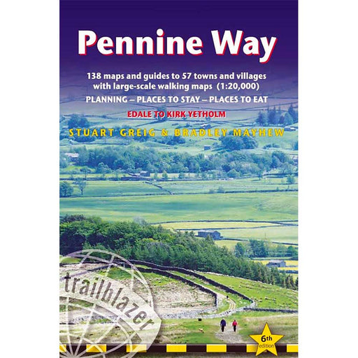
Pennine Way: Edale to Kirk Yetholm (Trailblazer) - 6th edition
£ 14.99| /Guidebook to the Pennine Way National Trail by Trailblazer. Practical information for all budgets – what to see, where to eat, where to stay: B&am...
View full details£ 14.99| /Sale -
 Sale
Sale
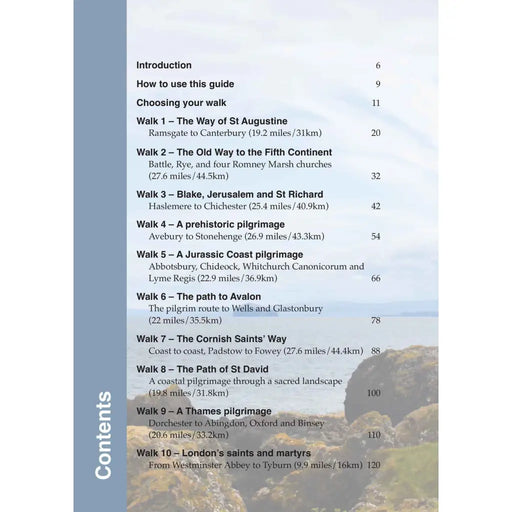
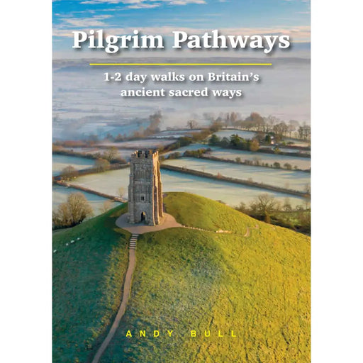
Pilgrim Pathways
£ 14.99| /Whether it’s for reasons of spiritual, mental or physical health, many people are inspired by the idea of going on a pilgrimage. TV series such as ...
View full details£ 14.99| /Sale


