Trail maps and guidebooks
-
 Sale
Sale
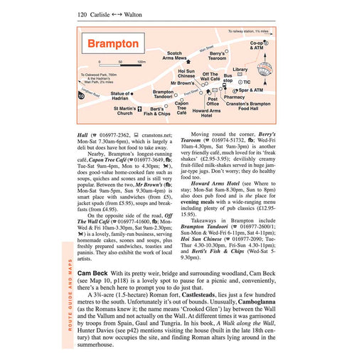
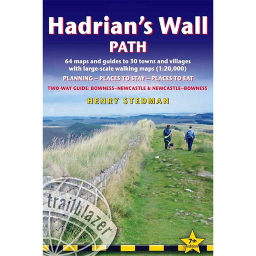
Hadrian's Wall Path: Wallsend to Bowness-on-Solway - Trailblazer
£ 13.99| /New, updated, two-way Hadrian's Wall Path guidebook re-researched in both directions: Bowness to Newcastle and Newcastle to Bowness. Route descript...
View full details£ 13.99| /Sale -
 Sale
Sale
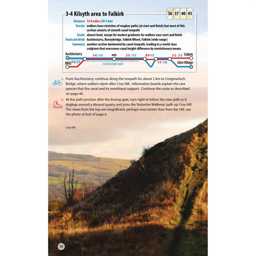
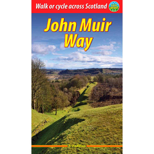
John Muir Way
£ 16.99| /This is the 3rd edition of the Rucksack Reader's John Muir Way guidebook, published in 2023. This rainproof guide contains all you need to plan and...
View full details£ 16.99| /Sale -
 Sale
Sale
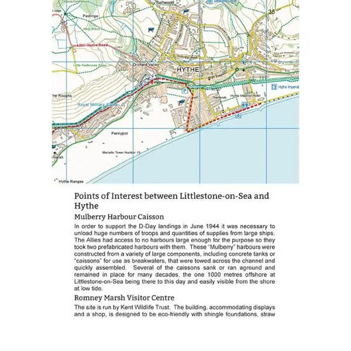
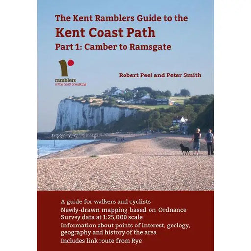
Kent Coast Path: Part 1: Camber to Ramsgate
£ 7.50| /This 80 page guide by Robert Peel and Peter Smith covers the first section of the England Coast Path to be opened in Kent, the 66 miles between Cam...
View full details£ 7.50| /Sale -
 Sale
Sale
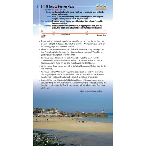
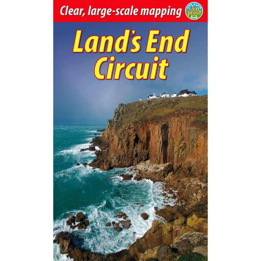
Land’s End Circuit
£ 12.99| /This selected Cornish section of the South West Coast Path runs for 42 miles from St Ives to Penzance. It provides a superb week’s-worth of walking...
View full details£ 12.99| /Sale -
 Sold out
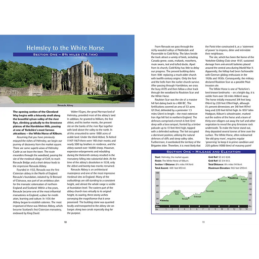
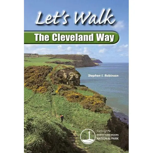
Let's Walk the Cleveland Way
£ 9.99| /Guide to walking the Cleveland Way by Stephen I. Robinson. The Trail is split into nine sections and the book includes useful information on what t...
View full details£ 9.99| /Sold out -
 Sale
Sale
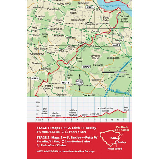
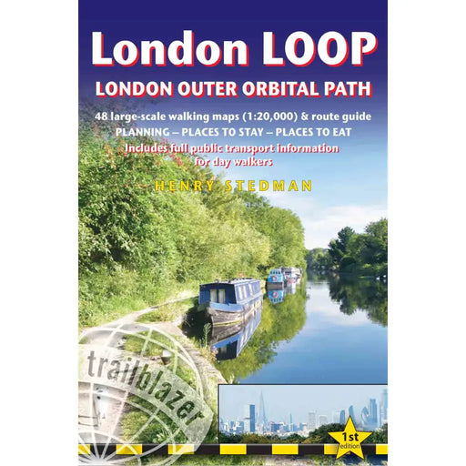
London Loop
£ 12.99| /Trailblazer's guidebook to the London Loop (the London Outer Orbital Path). The London Loop is a 150 mile circuit of the capital, starting at Erith...
View full details£ 12.99| /Sale -
 Sale
Sale
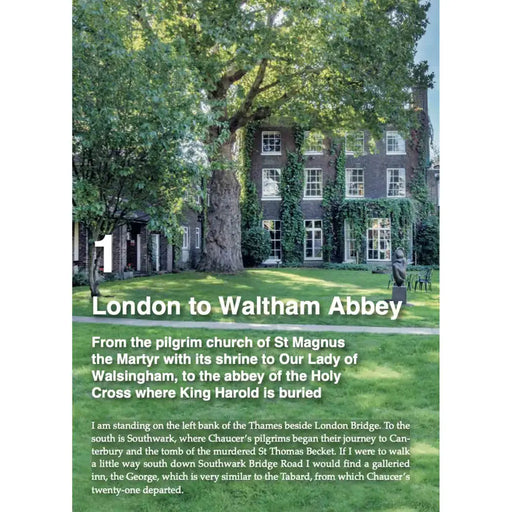
London to Walsingham Camino - The Pilgrimage Guide
£ 17.99| /This new guide to one of the oldest Pilgrimage Routes in Britain is a fabulous, practical and beautiful book. Before Henry V111 outlawed pilgrimag...
View full details£ 17.99| /Sale -
 Sale
Sale
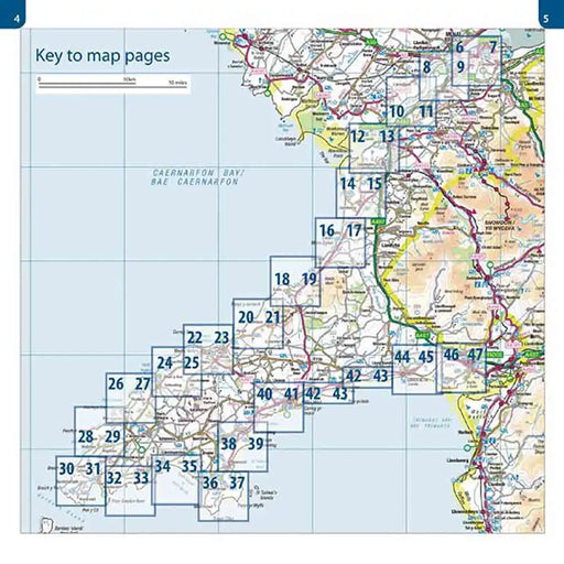
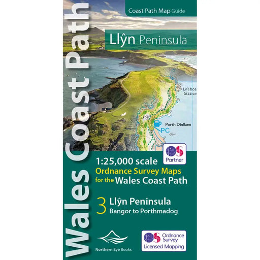
Map of the Llyn Peninsula - Wales Coast Path
£ 9.99| /Our Map of the Llyn Peninsula covers the official Llyn Peninsula route of the Wales Coast Path. It includes enhanced, large-scale (1: 25,000) OS ma...
View full details£ 9.99| /Sale -
 Sale
Sale
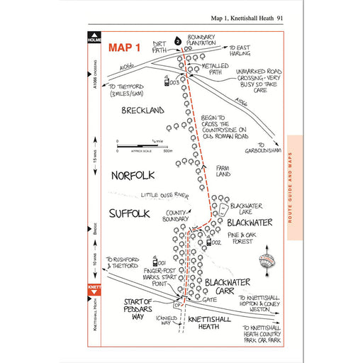
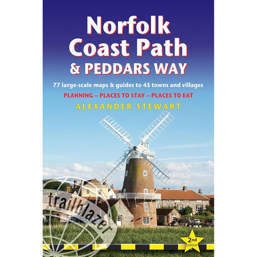
Norfolk Coast Path & Peddars Way - Trailblazer
£ 14.99| /Guidebook to the Peddars Way and Norfolk Coast Path National Trail from Knettishall Heath to Hopton-on-Sea, described in sections over 12 days. Inc...
View full details£ 14.99| /Sale -
 Sale
Sale
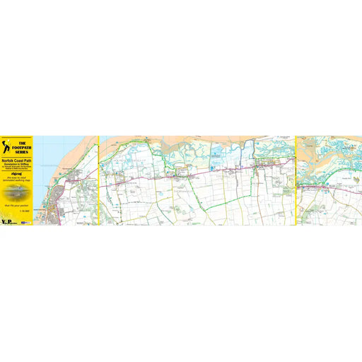
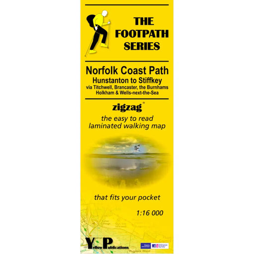
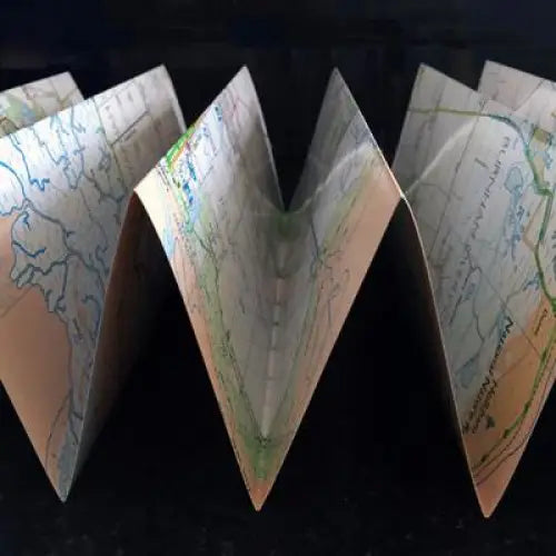
Norfolk Coast Path Zigzag map - Hunstanton to Stiffkey
£ 9.95| /As their name suggests, Zigzag maps come in a concertina strip format and with 200cm of mapping, they can follow a long distance footpath at a scal...
View full details£ 9.95| /Sale -
 Sale
Sale
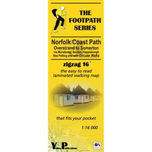
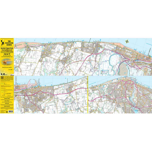
Norfolk Coast Path Zigzag map - Overstrand to Somerton
£ 9.95| /As their name suggests, Zigzag maps come in a concertina strip format and with 200cm of mapping, they can follow a long distance footpath at a scal...
View full details£ 9.95| /Sale -
 Sale
Sale
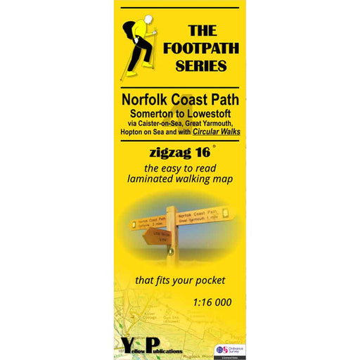
Norfolk Coast Path Zigzag map - Somerton to Lowestoft
£ 9.95| /As their name suggests, Zigzag maps come in a concertina strip format and with 200cm of mapping, they can follow a long distance footpath at a scal...
View full details£ 9.95| /Sale -
 Sale
Sale
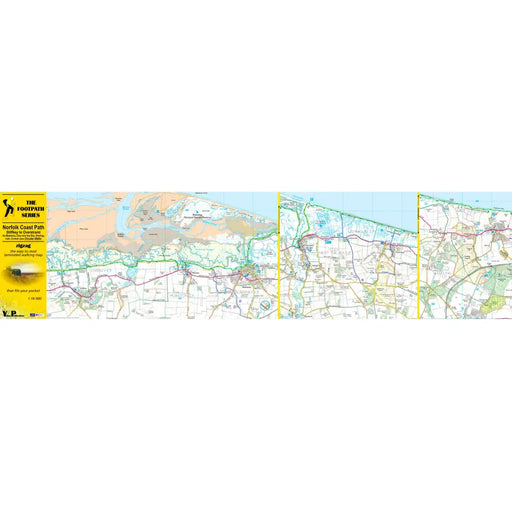
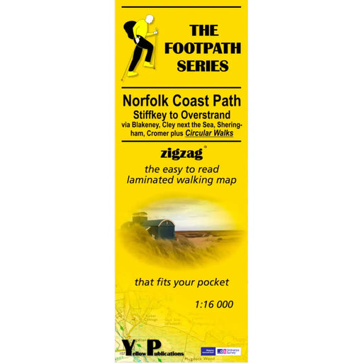
Norfolk Coast Path Zigzag map - Stiffkey to Overstrand
£ 9.95| /As their name suggests, Zigzag maps come in a concertina strip format and with 200cm of mapping, they can follow a long distance footpath at a scal...
View full details£ 9.95| /Sale -
 Sale
Sale
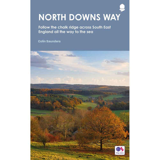
North Downs Way Guidebook
£ 16.00| /The 2023 edition of the Frances Lincoln official guidebook for the North Downs Way National Trail written by Colin Saunders. The North Downs Way fo...
View full details£ 16.00| /Sale -
 Sale
Sale
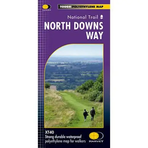
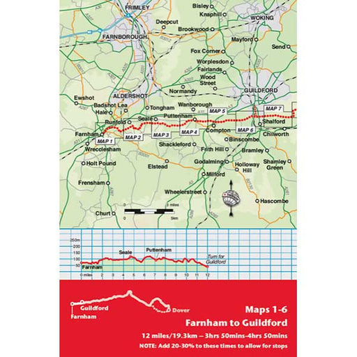
North Downs Way Harvey map
£ 15.95| /Compact and light - the map itself weighs just 60gms - a third of the weight of a laminated map, and much less bulky. And you can fold or refold it...
View full details£ 15.95| /Sale -
 Sale
Sale
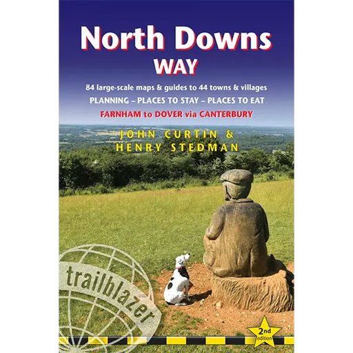
North Downs Way: Farnham to Dover - Trailblazer
£ 11.99| /This excellent guidebook provides everything you need to walk the North Downs Way National Trail. 16 towns plans and 84 large-scale walking maps ...
View full details£ 11.99| /Sale -
 Sale
Sale
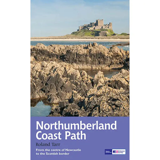
Northumberland Coast Path
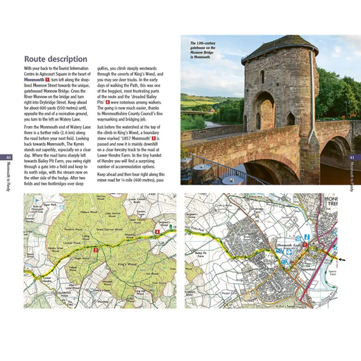
£ 14.99| /The tidal waters of Northumberland stretch from Newcastle up to the Scottish border at Berwick-upon-Tweed. This guide maps out the walker's route a...
View full details£ 14.99| /Sale -
 Sale
Sale
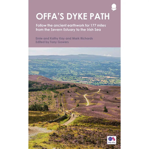
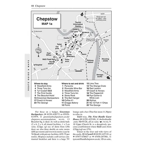
Offa's Dyke Path
£ 15.99| /This official guidebook to Offa’s Dyke Path National Trail, published in 2021, covers the 177 mile Offa's Dyke Path through the stunning and ever-c...
View full details£ 15.99| /Sale -
 Sold out
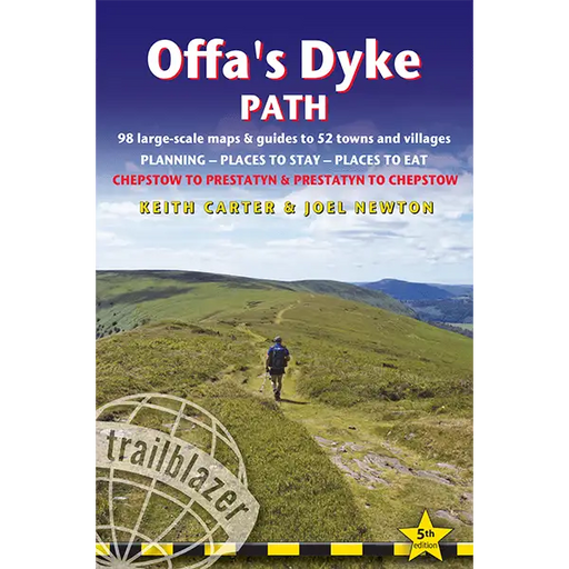
Offa's Dyke Path (Trailblazer)
£ 14.99| /This book has not yet been published - due January 2025 Updated for 2025 this Offa's Dyke Path guidebook describes the trail in both directions, fr...
View full details£ 14.99| /Sold out -
 Sale
Sale
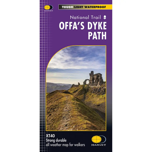
Offa's Dyke Path - Harvey map
£ 17.50| /The entire Offa's Dyke Path National Trail on one map. Tough, light and 100% waterproof. Detailed mapping with full legend. National Grid - can b...
View full details£ 17.50| /Sale -
 Sale
Sale
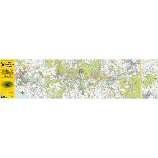
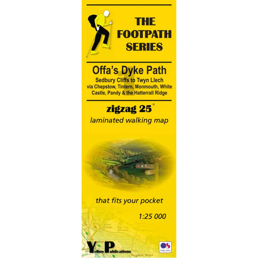
Offa's Dyke Path 1 - Sedbury Cliffs to Twyn Llech - Zigzag map
£ 9.95| /As their name suggests, Zigzag maps come in a concertina strip format. The maps are made for convenience; you need only unfold 2 panels at a time a...
View full details£ 9.95| /Sale -
 Sale
Sale
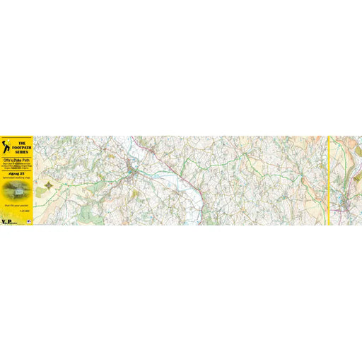
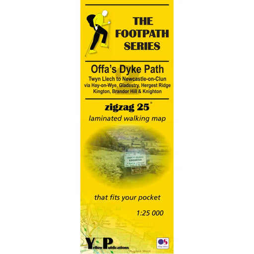
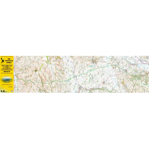
Offa's Dyke Path 2 Zigzag map - Twyn Llech to Newcastle-on-Clun
£ 9.95| /As their name suggests, Zigzag maps come in a concertina strip format. The maps are made for convenience; you need only unfold 2 panels at a time a...
View full details£ 9.95| /Sale -
 Sale
Sale
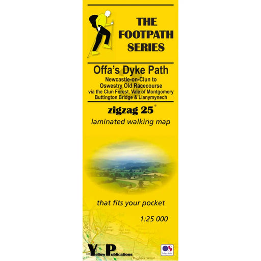
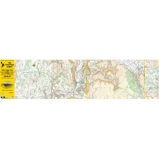
Offa's Dyke Path 3 - Newcastle-on-Clun to Oswestry Old Racecourse - Zigzag map
£ 9.95| /As their name suggests, Zigzag maps come in a concertina strip format. The maps are made for convenience; you need only unfold 2 panels at a time a...
View full details£ 9.95| /Sale -
 Sold out
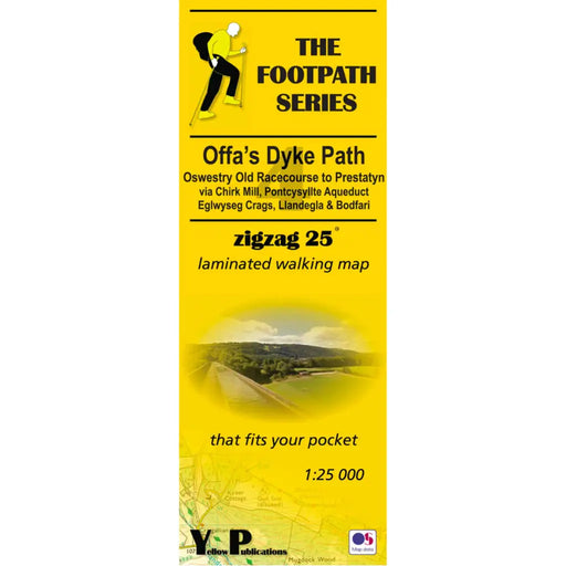
Offa's Dyke Path 4 - Oswestry Old Racecourse to Prestatyn- Zigzag map
£ 9.95| /As their name suggests, Zigzag maps come in a concertina strip format. The maps are made for convenience; you need only unfold 2 panels at a time a...
View full details£ 9.95| /Sold out -
 Sold out
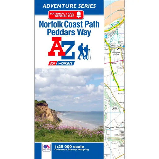
Peddars Way & Norfolk Coast Path A-Z Adventure Atlas
£ 8.95| /The A-Z Adventure series features the accuracy and quality of the 25k OS Explorer mapping in a convenient book, complete with index. This A-Z Adve...
View full details£ 8.95| /Sold out -
 Sale
Sale
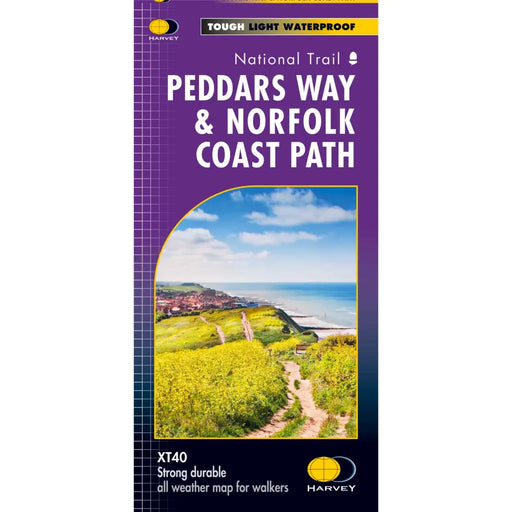
Peddars Way & Norfolk Coast Path Harvey map
£ 15.95| /Tough, light and 100% waterproof. Detailed mapping with full legend. Compact and light - half the weight of a laminated map, and much less bulky. ...
View full details£ 15.95| /Sale -
 Sale
Sale
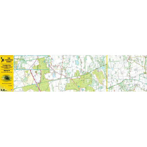
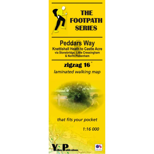
Peddars Way 1 - Knettishall Heath to Castle Acre - Zigzag map
£ 9.95| /As their name suggests, Zigzag maps come in a concertina strip format and with 200cm of mapping, they can follow a long distance footpath at a scal...
View full details£ 9.95| /Sale -

 Sale
Sale
Peddars Way 2 - Castle Acre to Holme next the Sea - Zigzag map
£ 9.95| /As their name suggests, Zigzag maps come in a concertina strip format and with 200cm of mapping, they can follow a long distance footpath at a scal...
View full details£ 9.95| /Sale -
 Sale
Sale
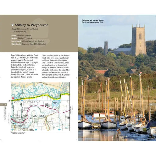
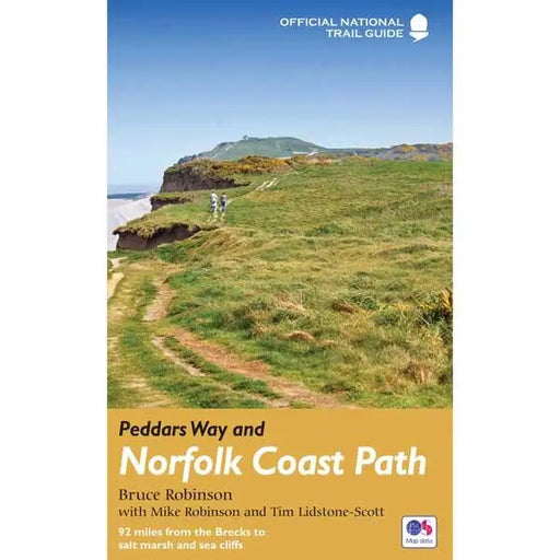
Peddars Way and Norfolk Coast Path
£ 14.99| /This official guide by Bruce Robinson is the only Trail companion you need. With colour extracts from the Ordnance Survey's Explorer series at 1:25...
View full details£ 14.99| /Sale -
 Sale
Sale
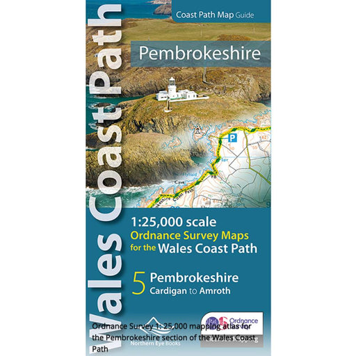
Pembrokeshire and the Pembrokeshire Coast Path Map - Wales Coast Path
£ 9.99| /Fabulous pocket-sized map booklet of Pembrokeshire showing the Pembrokeshire Coast Path National Trail and the Pembrokeshire section of the wales C...
View full details£ 9.99| /Sale -
 Sale
Sale
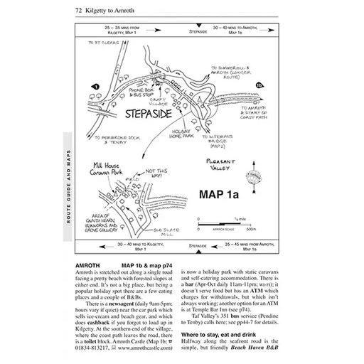
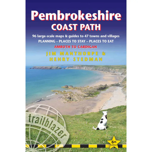
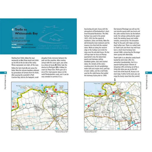
Pembrokeshire Coast Path
£ 12.99| /The largest scale walking maps available – at just under 1:20,000 – Trailblazer's maps are bigger than even the most detailed walking maps current...
View full details£ 12.99| /Sale -
 Sale
Sale
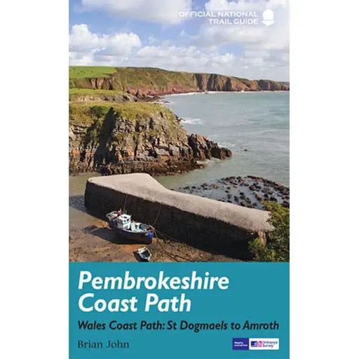
Pembrokeshire Coast Path - Wales Coast Path: St Dogmaels to Amroth
£ 14.99| /The official guide to the Pembrokeshire Coast Path by Brian John has colour extracts from the Ordnance Survey's Explorer series at 1:25,000 showing...
View full details£ 14.99| /Sale -
 Sale
Sale
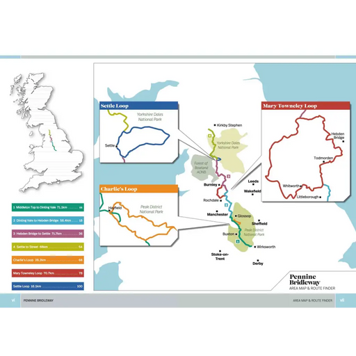
Pennine Bridleway
£ 15.95| /Researched, ridden and written by mountain biking expert and freelance writer Hannah Collingridge, this cycling guidebook to the Pennine Bridleway ...
View full details£ 15.95| /Sale -
 Sale
Sale
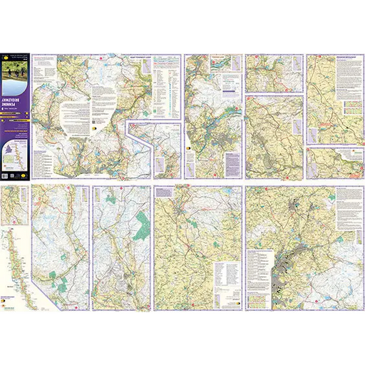
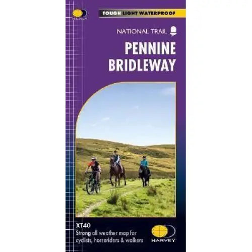
Pennine Bridleway Harvey map
£ 15.95| /This map, published in 2021, covers the whole 205 mile Pennine Bridleway National Trail from Middleton Top in Derbyshire to Ravenstonedale in Cumbr...
View full details£ 15.95| /Sale -
 Sale
Sale
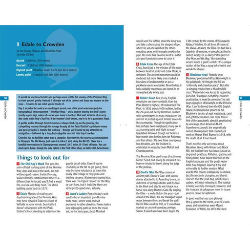
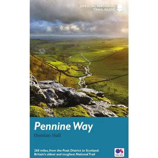
Pennine Way
£ 14.99| /This official guide written by Damian Hall has all the information you need to enjoy the oldest, and some say the best, of the National Trails. The...
View full details£ 14.99| /Sale -
 Sale
Sale
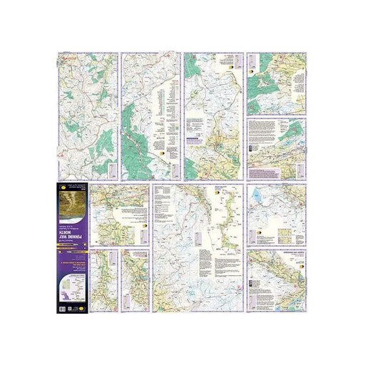
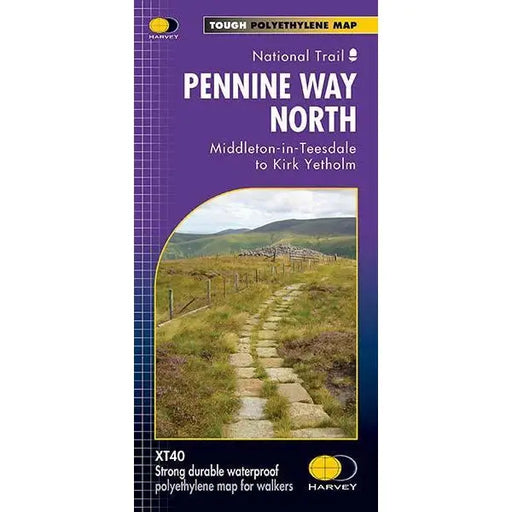
Pennine Way (North) - Harvey map - Middleton-in-Teesdale to Kirk Yetholm
£ 15.95| /This Harvey map of the Pennine Way covers the northern section of the Trail from Middleton-in-Teesdale to Kirk Yetholm. Please note, the new Harvey...
View full details£ 15.95| /Sale -
 Sale
Sale
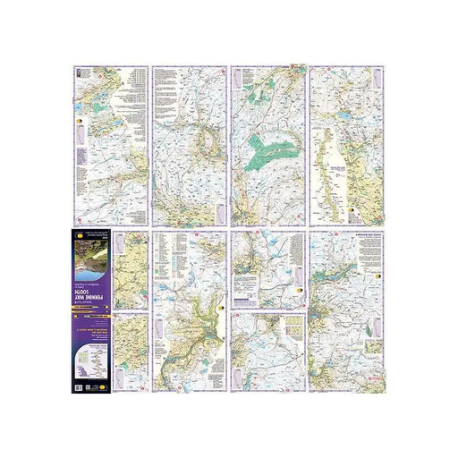
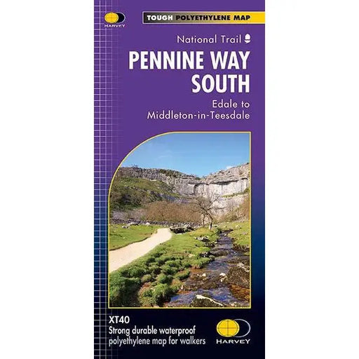
Pennine Way (South) - Harvey map - Edale to Middleton-in-Teesdale
£ 17.50| /This Harvey map of the Pennine Way covers the southern section of the Trail from Edale to Middleton-in-Teesdale. Tough, light, durable and 100% wa...
View full details£ 17.50| /Sale -
 Sale
Sale
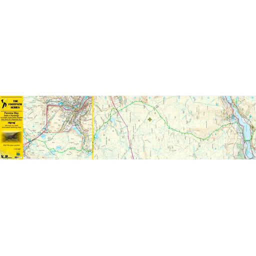
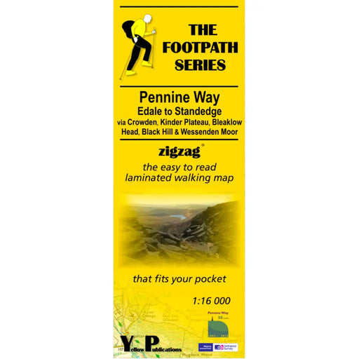
Pennine Way 1 - Zigzag map - Edale to Standedge
£ 9.95| /This Pennine Way map covers the section between Edale and Standedge via Crowden, Kinder Plateau, Bleaklow Head, Black Hill and Wessenden Moor. What...
View full details£ 9.95| /Sale -

 Sale
Sale
Pennine Way 2 - Standedge to Ickornshaw - Zigzag map
£ 9.95| /This Pennine Way map covers the section between Standedge and Ickornshaw via Blackstone Edge, Stoodly Pike, Calderdale and Ickornshaw Moor. What i...
View full details£ 9.95| /Sale -

 Sale
Sale
Pennine Way 3 - Ickornshaw to Horton in Ribblesdale- Zigzag map
£ 9.95| /This Pennine Way map covers the southern Yorkshire Dales section between Ickornshaw and Horton in Ribblesdale via Gargrave, Malham and Pen-y-Ghent ...
View full details£ 9.95| /Sale -

 Sale
Sale
Pennine Way 4 - Horton in Ribblesdale to Keld - Zigzag map
£ 9.95| /This Pennine Way map covers the mid-Yorkshire Dales section between Horton in Ribblesdale and Keld via Hawes, Wensleydale, Great Shunner fell and S...
View full details£ 9.95| /Sale -

 Sale
Sale
Pennine Way 5 - Keld to Forest in Teesdale - Zigzag map
£ 9.95| /This Pennine Way map covers the section between Keld and Forest-in-Teesdale via Tan Hill, Sleightholme Moor, Bowes, Middleton in Teesdale, High For...
View full details£ 9.95| /Sale -

 Sale
Sale
Pennine Way 6 - Forest in Teesdale to Garrigill - Zigzag map
£ 9.95| /This Pennine Way map covers the section between Forest-in-Teesdale and Garrigill via Cauldron Snout, High Cup Nick, Dufton, Great Dun Fell and Cros...
View full details£ 9.95| /Sale -

 Sale
Sale
Pennine Way 7 - Garrigill to Once Brewed - Zigzag map
£ 9.95| /This Pennine Way map covers the section between Garrigill and Once Brewed on Hadrian's Wall, via Alston, South Tynedale, Slaggyford, Greenhead and ...
View full details£ 9.95| /Sale -

 Sale
Sale
Pennine Way 8 - Once Brewed to Byrness - Zigzag map
£ 9.95| /This Pennine Way map covers the section between Once Brewed on Hadrian's Wall and Byrness close to the Scottish Border, via Hadrian's Wall, Haughto...
View full details£ 9.95| /Sale -

 Sale
Sale
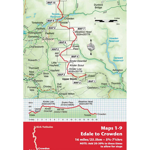
Pennine Way 9 - Once Byrness to Kirk Yetholm - Zigzag map
£ 9.95| /This Pennine Way map covers the section along the Border Ridge from Byrness to Kirk Yetholm, via Ogre Hill, Lamb Hill, Beefstand Hill, Windy Gyle, ...
View full details£ 9.95| /Sale -
 Sale
Sale
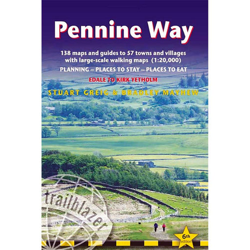
Pennine Way: Edale to Kirk Yetholm (Trailblazer) - 6th edition
£ 14.99| /Guidebook to the Pennine Way National Trail by Trailblazer. Practical information for all budgets – what to see, where to eat, where to stay: B&am...
View full details£ 14.99| /Sale -
 Sale
Sale
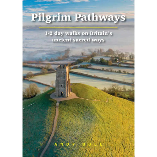
Pilgrim Pathways
£ 14.99| /Whether it’s for reasons of spiritual, mental or physical health, many people are inspired by the idea of going on a pilgrimage. TV series such as ...
View full details£ 14.99| /Sale


