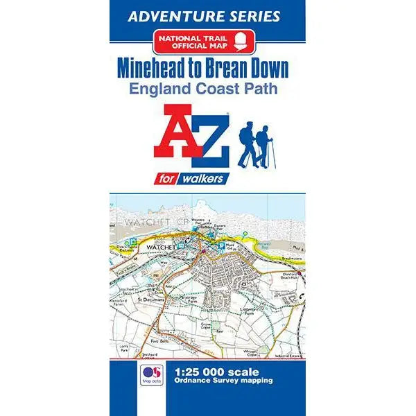
England Coast Path Minehead to Brean A-Z Adventure Map
This official Minehead to Brean Down Adventure Map covers a 58 mile (93km) section of the England Coast Path.
The path along the Somerset coastline has marvellous seaward and inland views with access to sandy beaches and shores rich with geology. Salt marshes, sand dunes and mudflats provide a vital habitat for wildlife, especially birds. A number of seaside towns along the way provide the opportunity for refreshment.
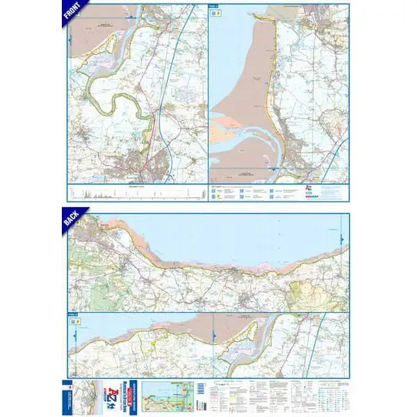
This self-covered sheet map is double sided with 1:25k Ordnance Survey Explorer mapping showing the new coastal access verge. The path is clearly highlighted in yellow with mileage markers to gauge distances when planning sections of the walk to enjoy. The map folds down to a handy DL size.
A useful gradient profile for the section of path is included along with a selection of QR codes linked to useful websites, including temporary route updates from the National Trails, travel information and weather reports.

