The Ridgeway visitor map
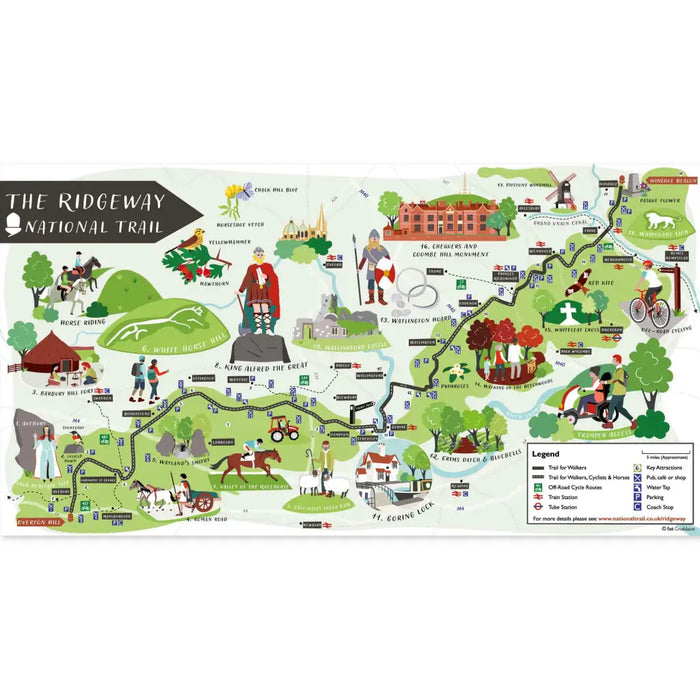
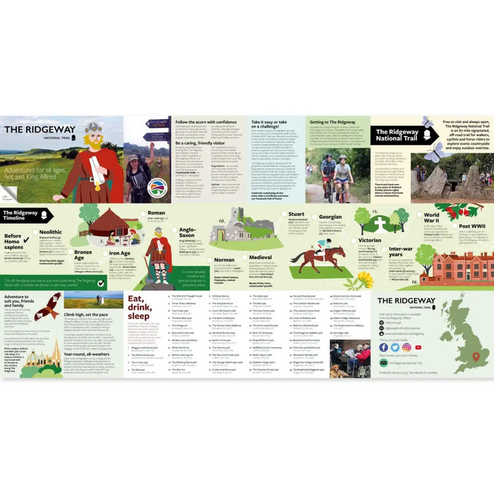
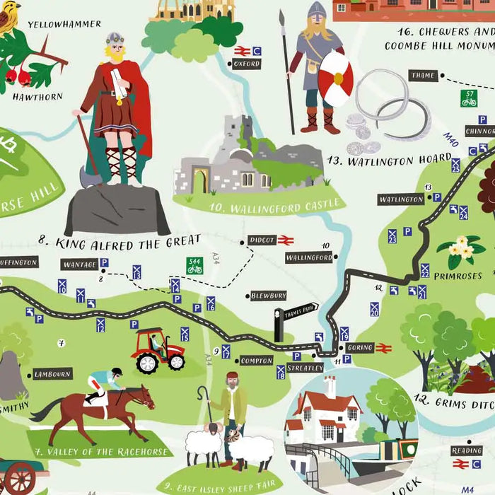
Designed by Hampshire based illustrator, cartographer and map designer Bek Cruddace, this attractive folded map of The Ridgeway National Trail highlights all of the major historical and cultural features along the route. It also shows the locations of railway stations, parking, water taps and pubs and cafes.
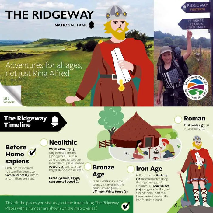
A Ridgeway timeline has also been created for visitors to tick off as they discover places along the Trail dating back to different time periods including Anglo-Saxon and World War II.
It is designed to slip into your pocket and keep as a souvenir of your adventures.
The leaflet is available for free in local outlets. It is being sold here for 50p - this will be given to the trail as a donation to support maintenance of The Ridgeway.
Printed in 2023.
Size - folded 14cm x 10cm
Unfolded - 56cm x 30cm.


