Maps
We love maps. Browse our full range below.
-
 Sold out
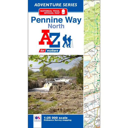
Pennine Way (North) A-Z Adventure Atlas
£ 8.95This map is out of print. We don't know if the publisher is going to reprint. We recommend the Cicerone Press Pennine Way map booklet as an alterna...
View full details£ 8.95Sold out -
 Sold out
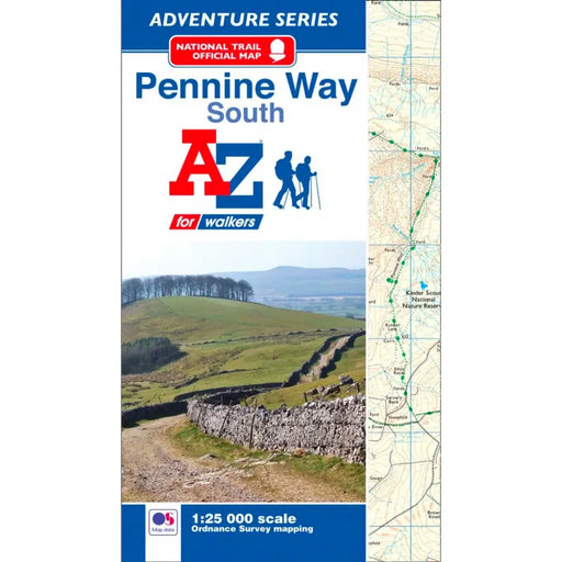
Pennine Way (South) A-Z Adventure Atlas
£ 8.95This map is out of print - take a look at the Harvey Map Pennine Way South or the Cicerone Press Pennine Way map booklet as an alternative.
£ 8.95Sold out -


Walking the Pennine Way map booklet
£ 14.95The very best map to accompany you on your Pennine Way adventure. This pocket-sized map booklet comes in a waterproof cover and gives clear Ordnanc...
View full details£ 14.95 -
 Save 15%
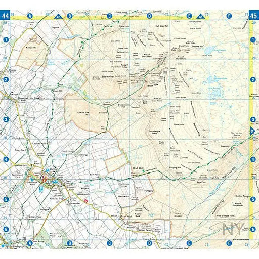
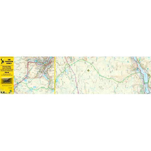
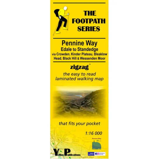
Pennine Way 1 - Zigzag map - Edale to Standedge
Original price £ 9.95Current price £ 8.50This Pennine Way map covers the section between Edale and Standedge via Crowden, Kinder Plateau, Bleaklow Head, Black Hill and Wessenden Moor. What...
View full detailsOriginal price £ 9.95Current price £ 8.50Save 15% -
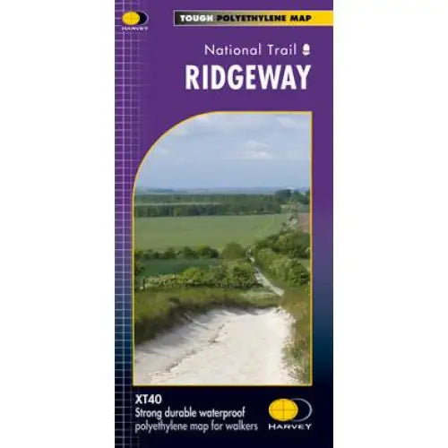
Ridgeway Harvey map
£ 15.95Compact and light - the map itself weighs just 60gms - a third of the weight of a laminated map, and much less bulky. And you can fold or refold it...
View full details£ 15.95 -
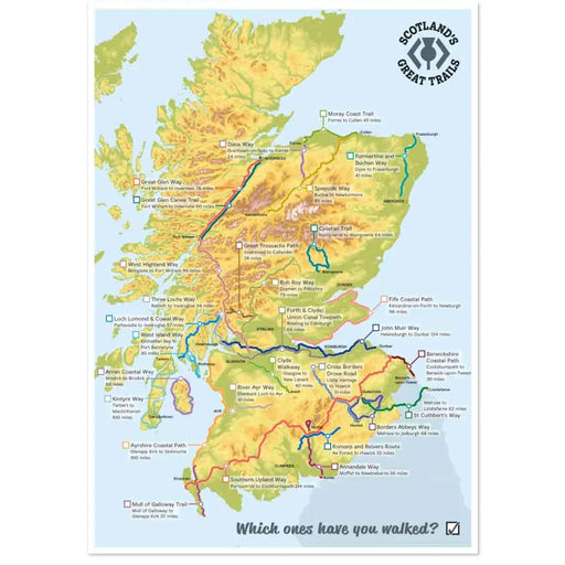
Scotland's Great Trails poster - which ones have you walked?
from £ 6.50Exclusive to The Trails Shop, this lovely poster shows all of Scotland's Great Trails. Each Trail is named, and there’s space for you to tick off t...
View full detailsfrom £ 6.50 -
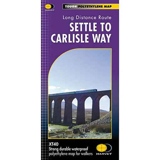
Settle to Carlisle Way Harvey map
£ 14.50Settle Carlisle Way is a 154km (96 miles) walking route linking the stations of the famous and scenic Settle-Carlisle Railway Line. This map gives...
View full details£ 14.50 -
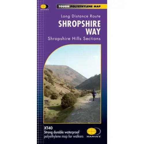
Shropshire Way Harvey map
£ 14.50This map shows the Shropshire Hills, with routes of the Shropshire Way clearly marked. The map covers the majority of the Shropshire Hills Area of...
View full details£ 14.50 -

South Downs Way A-Z Adventure Atlas
£ 11.99New for 2025, this A-Z Adventure series map of the South Downs Way uses 1:25k scale mapping in a convenient book format. Covering the entire South...
View full details£ 11.99 -

South Downs Way Guidemap
£ 14.95This easy-to-use folding map from Vertebrate is unique in that it provides custom itinerary planning for walkers, trekkers, fastpackers and trail r...
View full details£ 14.95 -
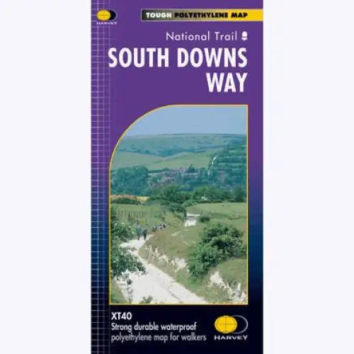
South Downs Way Harvey map
£ 15.95Tough, light and 100% waterproof. Detailed mapping with full legend. National Grid - can be used with GPS. 1:40,000 scale. Compact and light - hal...
View full details£ 15.95 -
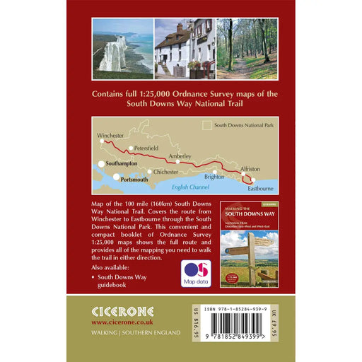
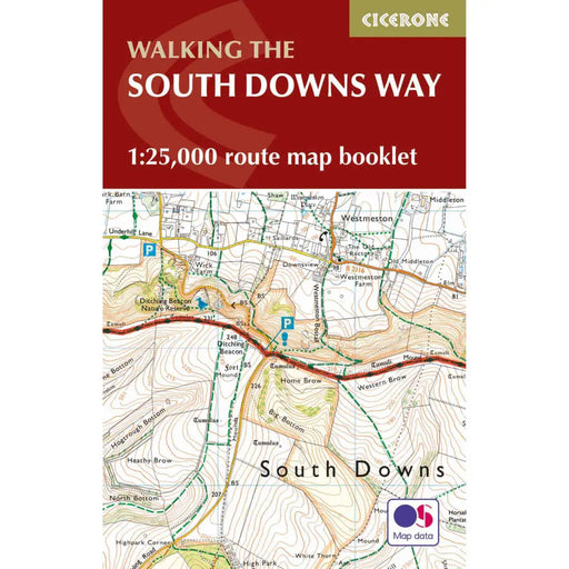
Walking the South Downs Way map booklet
£ 12.95All the mapping you need to complete the 100 mile (160km) South Downs Way National Trail, between Eastbourne and Winchester. With easy walking on a...
View full details£ 12.95 -

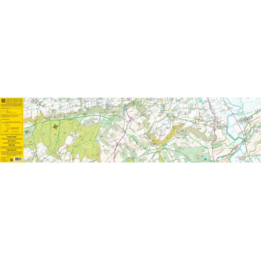
South Downs Way 3 - Amberley to Ditchling Beacon - Zigzag map
£ 9.95As their name suggests, Zigzag maps come in a concertina strip format and with 200cm of mapping, they can follow a long distance footpath at a scal...
View full details£ 9.95 -
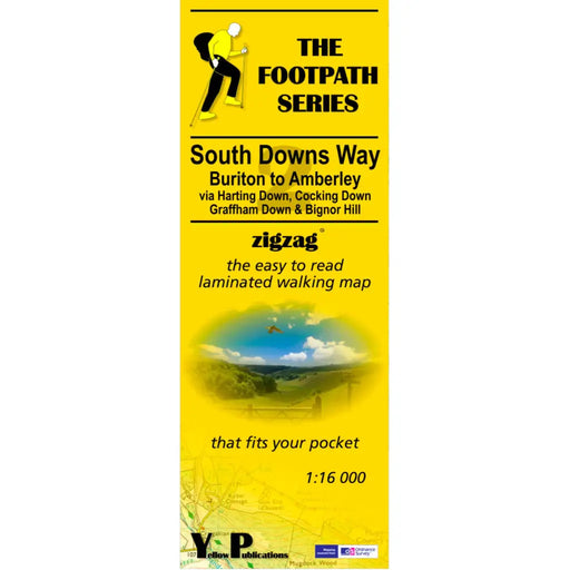
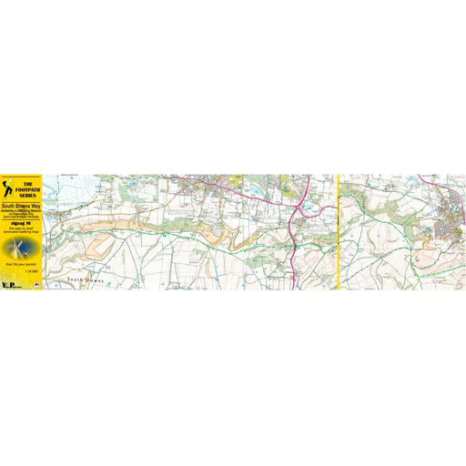
South Downs Way 2 - Buriton to Amberley - Zigzag map
£ 9.95As their name suggests, Zigzag maps come in a concertina strip format and with 200cm of mapping, they can follow a long distance footpath at a scal...
View full details£ 9.95 -
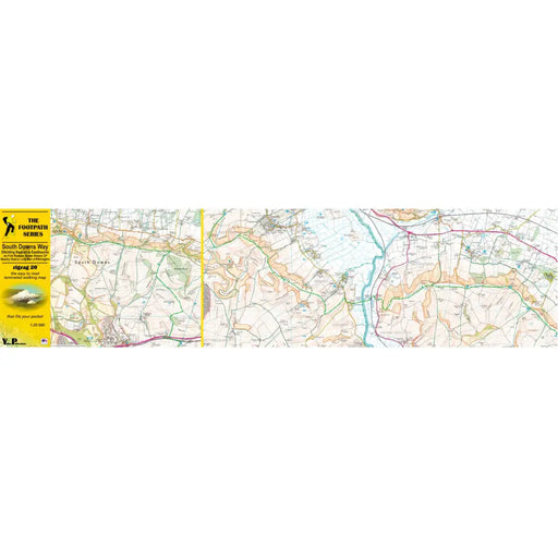
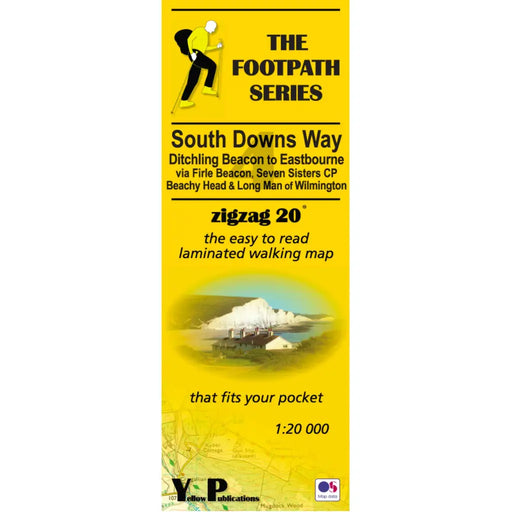
South Downs Way 4 - Zigzag map - Ditchling Beacon to Eastbourne
£ 9.95As their name suggests, Zigzag maps come in a concertina strip format. The maps are made for convenience; you need only unfold 2 panels at a time a...
View full details£ 9.95 -


South Downs Way 1 - Winchester to Buriton - Zigzag map
£ 9.95As their name suggests, Zigzag maps come in a concertina strip format and with 200cm of mapping, they can follow a long distance footpath at a scal...
View full details£ 9.95 -
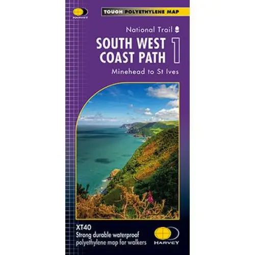
South West Coast Path 1 Harvey map
£ 14.50Three HARVEY maps cover the whole 630 mile route. Each map covers a section of the Path suitable for 2 weeks of walking. Map 1 covers the Path from...
View full details£ 14.50 -


South West Coast Path 1 North Devon & Somerset A-Z Adventure Atlas - 2025 edition
£ 11.99New 2025 edition of the ever-popular A-Z Adventure map for the North Devon and Somerset section of the South West Coast Path. This A-Z Adventure A...
View full details£ 11.99 -

South West Coast Path 2 Harvey map
£ 15.95Three HARVEY maps cover the whole 630 mile route. Each map covers a section of the Path suitable for 2 weeks of walking. Map 2 covers the Path from...
View full details£ 15.95 -
 Save 27%
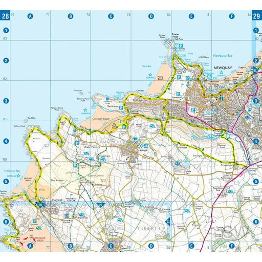
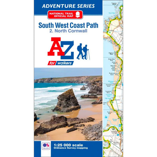
South West Coast Path 2 North Cornwall A-Z Adventure Atlas
Original price £ 8.95Current price £ 6.50The A-Z Adventure series features the accuracy and quality of OS 1;25,000 mapping in a convenient book, complete with index.This A-Z Adventure Atla...
View full detailsOriginal price £ 8.95Current price £ 6.50Save 27% -
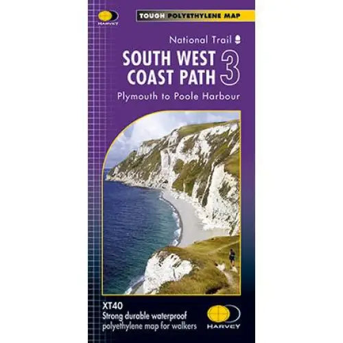
South West Coast Path 3 Harvey map
£ 14.50Three HARVEY maps cover the whole 630 mile route. Each map covers a section of the Path suitable for 2 weeks of walking. Map 2 covers the Path from...
View full details£ 14.50 -


South West Coast Path 3 South Cornwall A-Z Adventure Atlas
£ 11.99The A-Z Adventure series features the accuracy and quality of OS 1:25,000 scale mapping in a convenient book, complete with index.This A-Z Adventur...
View full details£ 11.99 -
 Save 27%
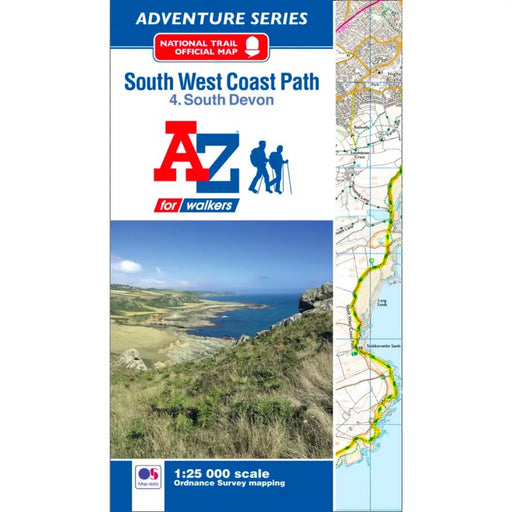
South West Coast Path 4 South Devon A-Z Adventure Atlas
Original price £ 8.95Current price £ 6.50The A-Z Adventure series features the accuracy and quality of OS 1:25,000 scale mapping in a convenient book, complete with index.This A-Z Adventur...
View full detailsOriginal price £ 8.95Current price £ 6.50Save 27% -


South West Coast Path 5 Dorset A-Z Adventure Atlas - 2025 edition
£ 11.99The A-Z Adventure series features the accuracy and quality of OS 1:25,000 scale mapping in a convenient book, complete with index. This A-Z Adventu...
View full details£ 11.99 -


South West Coast Path Zigzag map - 1 - Minehead to Woody Bay
£ 9.95This zigzag map covers the Minehead to Woody Bay section of the South West Coast Path, via Porlock, Countisbury, Lynton and the Valley of Rocks. As...
View full details£ 9.95 -
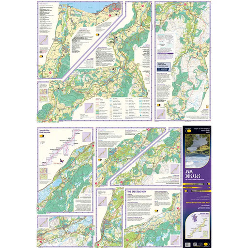
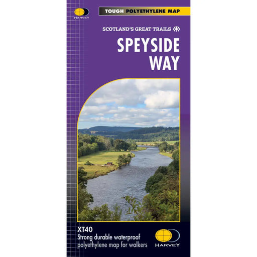
Speyside Way Harvey map
£ 14.50This Harvey map of the Speyside Way shows the route in its entirety, including the recent extension from Kincraig to Newtonmore, on one lightweight...
View full details£ 14.50 -

St Cuthbert's Way Harvey map
£ 15.95One of Scotland's Great Trails, the St Cuthbert's Way links places associated with the life of the 7th century saint, Cuthbert. From Melrose Abbe...
View full details£ 15.95 -
 Sold out
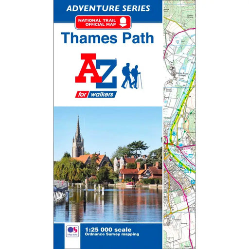
Thames Path A-Z Adventure Atlas
£ 8.95This map is out of print - we don't know if the publisher intends to re-print. Instead, we recommend the Cicerone Press Thames Path map booklet. T...
View full details£ 8.95Sold out -
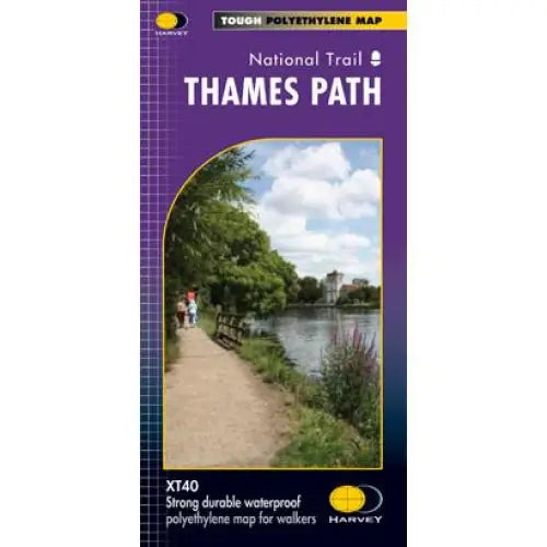
Thames Path Harvey map
£ 15.95Tough, light and 100% waterproof. Detailed mapping with full legend. National Grid - can be used with GPS. 1:40,000 scale. Compact and light - hal...
View full details£ 15.95 -
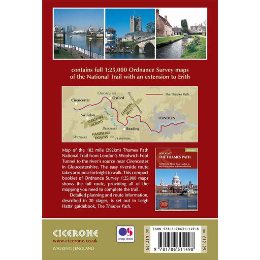
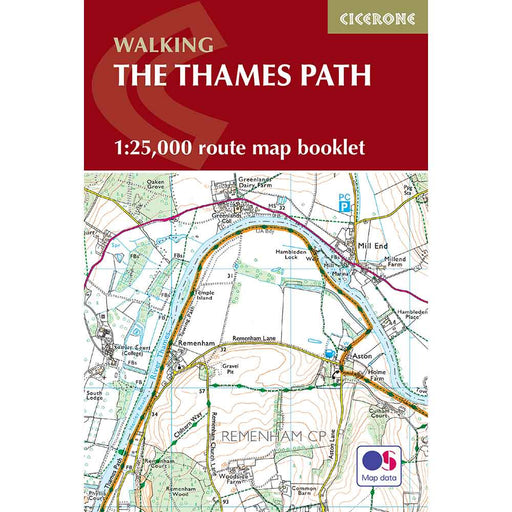
Thames Path map booklet
£ 12.95This is the perfect map for anyone considering the walking the Thames Path National Trail. This pocket-sized Thames Path map uses the ever-popular...
View full details£ 12.95 -
 Sold out
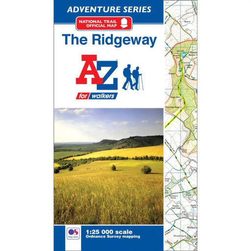
The Ridgeway A-Z Adventure Atlas
£ 8.95We're sorry but The Ridgeway A-Z Adventure Atlas is out of stock and is unlikely to be re-printed. We recommend the Sparky Guides Ridgeway booklet...
View full details£ 8.95Sold out -
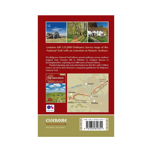
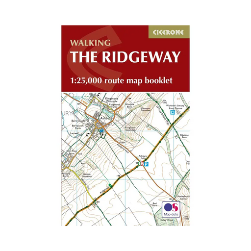
Walking The Ridgeway map booklet
£ 7.95All the mapping you need to walk The Ridgeway National Trail an 87-mile (139km) route through southern England from Avebury in Wiltshire to Ivingho...
View full details£ 7.95 -
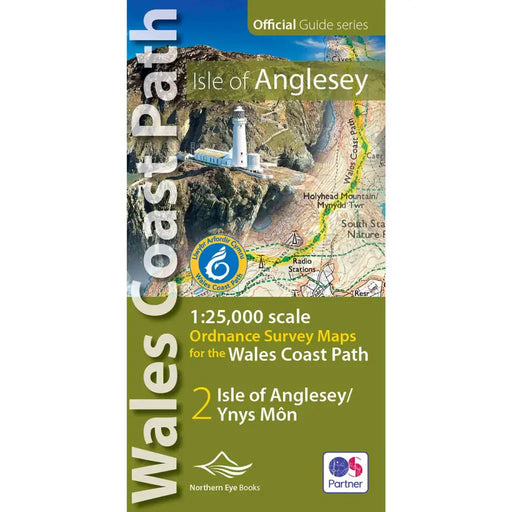
Wales Coast Path Map: Isle of Anglesey OS Map Atlas
£ 9.99This is a map book that covers the Isle of Anglesey on the Wales Coast Path. It includes large scale (1: 25,000) Ordnance Survey mapping in a handy...
View full details£ 9.99 -
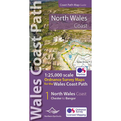
Wales Coast Path Map - North Wales Coast
£ 9.99Our Map of the Llyn Peninsula covers the official Llyn Peninsula route of the Wales Coast Path. It includes enhanced, large-scale (1: 25,000) OS ma...
View full details£ 9.99 -
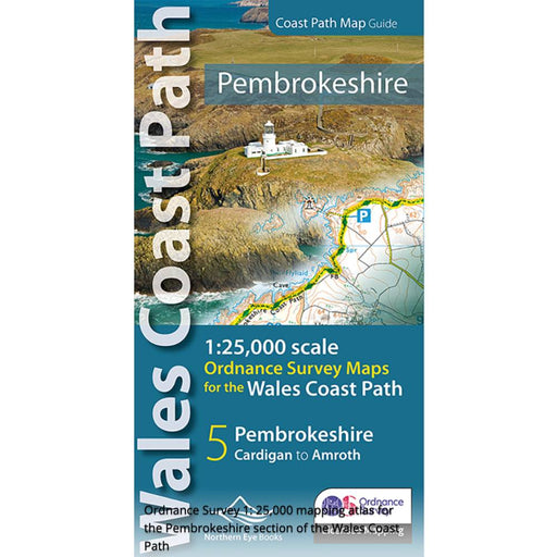
Pembrokeshire and the Pembrokeshire Coast Path Map - Wales Coast Path
£ 9.99Fabulous pocket-sized map booklet of Pembrokeshire showing the Pembrokeshire Coast Path National Trail and the Pembrokeshire section of the wales C...
View full details£ 9.99 -
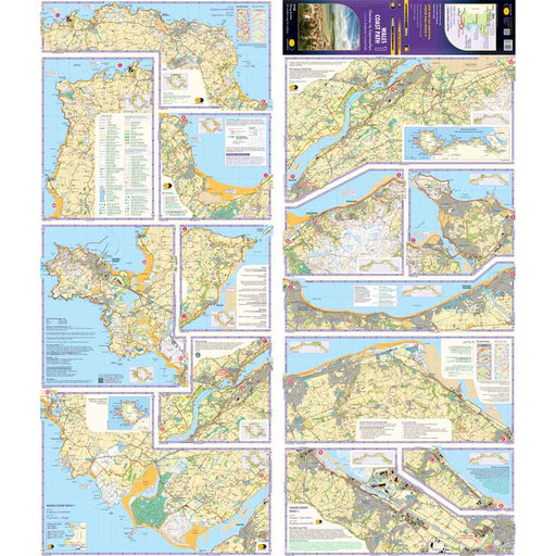
Wales Coast Path 1 - Chester to Caernarfon - Harvey map
£ 16.50The 1400km (870 mile) Wales Coast Path is a long distance trail following the entire coastline of Wales. This varied trail offers rugged and unspoi...
View full details£ 16.50 -
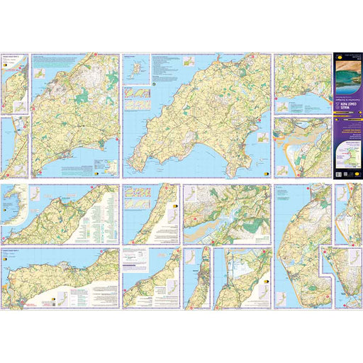
Wales Coast Path 2 -Caernarfon to Cardigan - Harvey map
£ 16.50The 1400km (870 mile) Wales Coast Path is a long distance trail following the entire coastline of Wales. This varied trail offers rugged and unspoi...
View full details£ 16.50 -
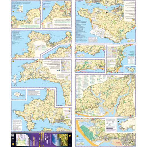
Wales Coast Path 3 - Cardigan to Llanelli & Pembrokeshire Coast Path - Harvey map
£ 16.50This map is the third of a series of 4 Harvey maps covering the whole of the Wales Coast Path. Each map covers a section of the Path suitable for a...
View full details£ 16.50 -
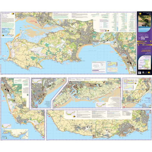
Wales Coast Path 4 - Llanelli to Chepstow - Harvey map
£ 17.50This map is the forth of a series of 4 Harvey maps covering the whole of the Wales Coast Path. Each map covers a section of the Path suitable for a...
View full details£ 17.50 -
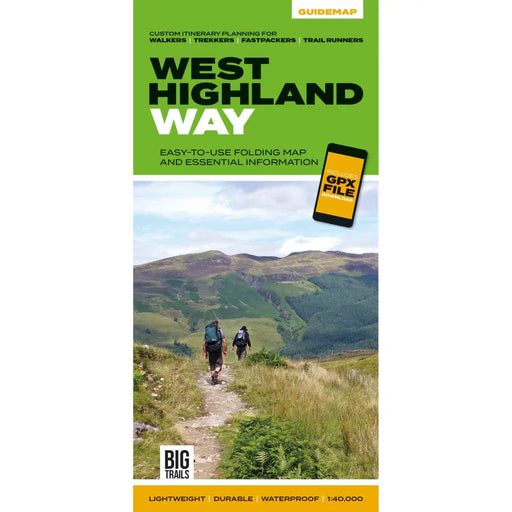
West Highland Way Guidemap
£ 14.95This easy-to-use folding map from Vertebrate is unique in that it provides custom itinerary planning for walkers, trekkers, fastpackers and trail r...
View full details£ 14.95 -

West Highland Way Harvey map
£ 14.50The West Highland Way is 153km (95 miles) from Milngavie, near Glasgow to Fort William. A tough, light, and 100% waterproof map. It gives detailed...
View full details£ 14.50 -
 Sold out
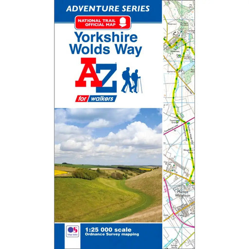
Yorkshire Wolds Way A-Z Adventure Atlas
£ 8.95This map is no longer available. We recommend the Harvey Maps Yorkshire Wolds Way map as an alternative. -----------------------------------------...
View full details£ 8.95Sold out -
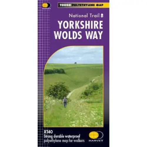
Yorkshire Wolds Way Harvey map
£ 15.95A tough, light, durable and 100% waterproof map of the Yorkshire Wolds Way National Trail. Entire National Trail route on one map. Includes Rights ...
View full details£ 15.95 -
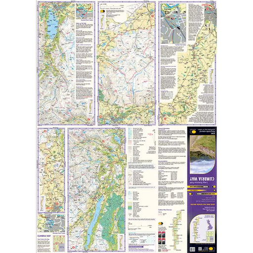
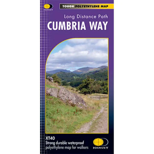
Cumbria Way Harvey map
£ 14.50This Cumbria Way map shows the whole 70 mile (112km) route on one map. The Cumbria Way is a popular route through the stunning landscape of the L...
View full details£ 14.50 -
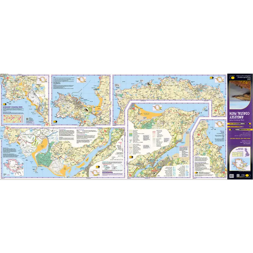
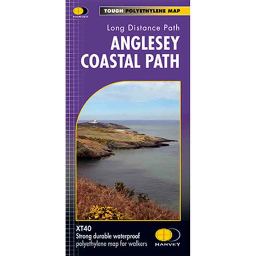
Anglesey Coastal Path Harvey map
£ 14.50This is a map covering the whole of the Anglesey Coast Path. It is everything you need to explore this amazing stretch of the Wales Coast Path. At ...
View full details£ 14.50 -
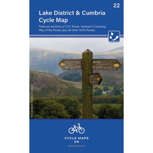
Lake District & Cumbria Cycle Map
£ 6.99This new full-colour map in the all-new Cycle Maps UK series covers The Lake District, Cumbria and all the way down to Lancaster. It's the perfect...
View full details£ 6.99 -
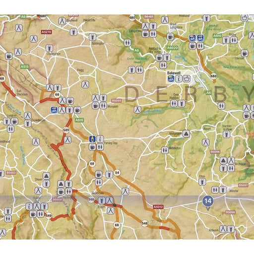
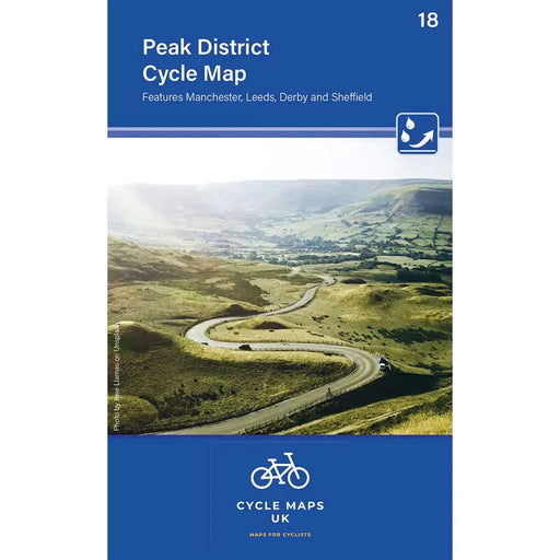
Peak District Cycle Map
£ 6.99This new, full colour, Peak District Cycling map features all the NCN routes and covers the Peak District and the surrounding cities of Mancheste...
View full details£ 6.99 -
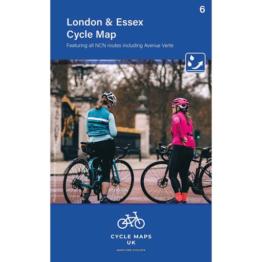
London and Essex Cycle Map
£ 6.99This new London and Essex Cycling map features all the NCN routes and covers from Uxbridge in the west to Harwich in the east, and as far north a...
View full details£ 6.99


