
Walking The Ridgeway map booklet
£ 7.95
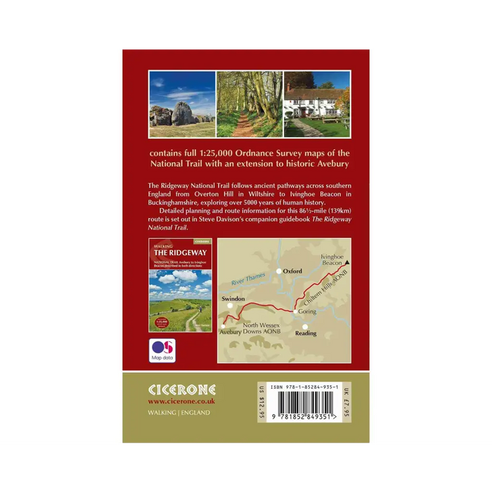
All the mapping you need to walk The Ridgeway National Trail an 87-mile (139km) route through southern England from Avebury in Wiltshire to Ivinghoe Beacon in Buckinghamshire.
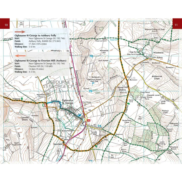
This booklet of Ordnance Survey 1:25,000 Explorer maps shows the full line of the National Trail, along with the relevant extract from the OS Explorer map legend. It can be used when walking the trail in either direction, and is just the right size for slipping into a jacket pocket or top of a rucksack.
NOTE An accompanying Cicerone guidebook - Walking The Ridgeway - describes the full route with lots of other practical information and INCLUDES a copy of this map booklet.
Dimensions: 165mm x 105mm x 4mm, 62g
Published by Cicerone 21 November 2016