
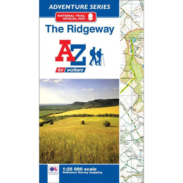
The Ridgeway A-Z Adventure Atlas
The A-Z Adventure series features the accuracy and quality of the 25k OS Explorer mapping in a convenient book, complete with index.
This A-Z Adventure Atlas of The Ridgeway features 36 pages of continuous Ordnance Survey mapping providing complete coverage of The Ridgeway Path. This atlas includes a route planner providing the distances between places and the amenities available, featuring:
- Information Centres
- Hotels/B&Bs
- Youth Hostels
- Campsites (seasonal opening)
- Restaurants
- Public Houses
- Cafes (seasonal opening)
- Shops
- Petrol Stations
Also featured is advice on safety and security when walking, details of Tourist Information Centres and a selection of QR codes linked to useful websites.
This A-Z Adventure Atlas has the accuracy and quality of OS Explorer mapping indexed within a book, making it the perfect companion for walkers, off-road cyclists, horse riders and anyone wishing to explore the great outdoors.
Edition 2 2018.
Please note this map does not highlight the trail in yellow.