Map of the Llyn Peninsula - Wales Coast Path
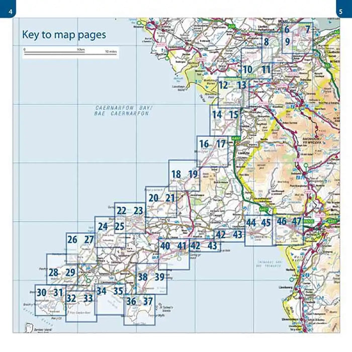
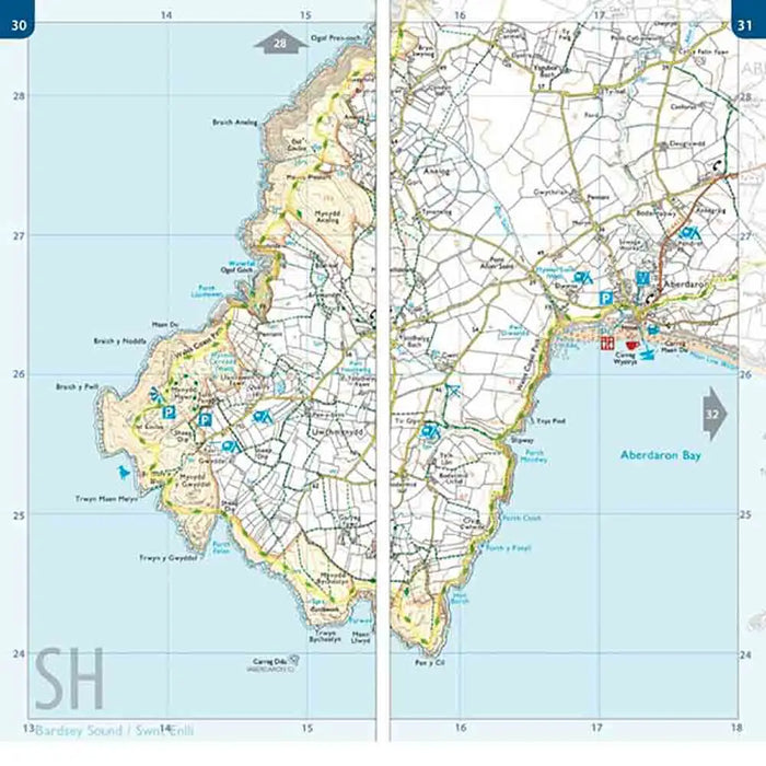
Our Map of the Llyn Peninsula covers the official Llyn Peninsula route of the Wales Coast Path. It includes enhanced, large-scale (1: 25,000) OS mapping covering the complete route from Bangor to Porthmadog in a handy atlas format, also containing coastal extracts from large scale Explorer maps 253 and 254.
The Map of the Llyn Peninsula is part of a series of map atlases covering the whole of the 870-mile long Wales Coast Path. Additional map symbols show helpful places on the walk to take a break including tea shops, cafes, extra parking, and public toilets.
There is an introduction to the Llyn Peninsula including a beautiful photo mosaic highlighting notable views, places of interest and wildlife you might meet on your journey. There is also a section of detailed Useful Information to know at the back of the Map of the Llyn Peninsula.
This map features laminated flapped covers showing Wales Coast Path signs and waymarkers, route details and map symbols make these atlases simple and easy to use. The map books’ dimensions are 215mm x 107mm, allowing it to fit easily into a standard map pocket.