Long Distance Hiking Trails UK Maps
Are you looking for a longer walk to enjoy beautiful views and keep active? Our long distance hiking trails UK maps can help you keep on track and reach your destination safely.
Our Cotswold Way Harvey SplashMap is printed onto weatherproof, washable, wearable, breathable material to stay useful during wetter weather. If you are looking for a challenging route, our waterproof My Minimap National Three Peaks Challenge Series is the perfect choice.
-
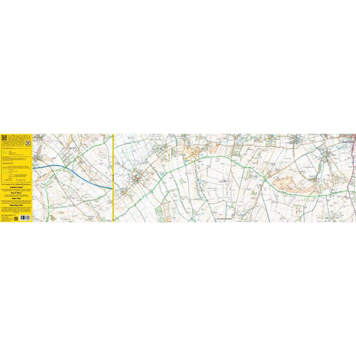
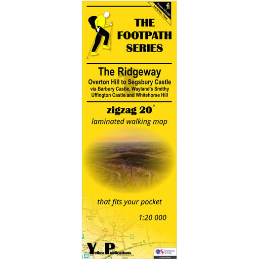
The Ridgeway Zigzag map - 1 - Overton Hill to Segsbury Castle
£ 9.95This easy-to-read Zigzag map of The Ridgeway covers the section from Overton Hill to Segsbury Castle, via Barbury Castle, Wayand's Smithy, Uffingto...
View full details£ 9.95 -
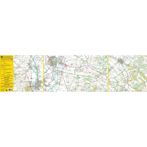
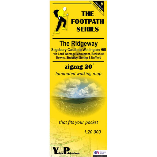
The Ridgeway Zigzag map - 2 - Segsbury Castle to Watlington Hill
£ 9.95This easy-to-read Zigzag map of The Ridgeway covers the section from Segsbury Castle to Watlington Hill via Lord Wantage Monument, Berkshire Downs,...
View full details£ 9.95 -
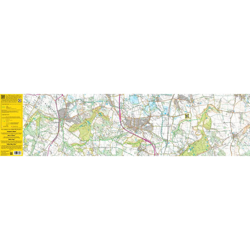
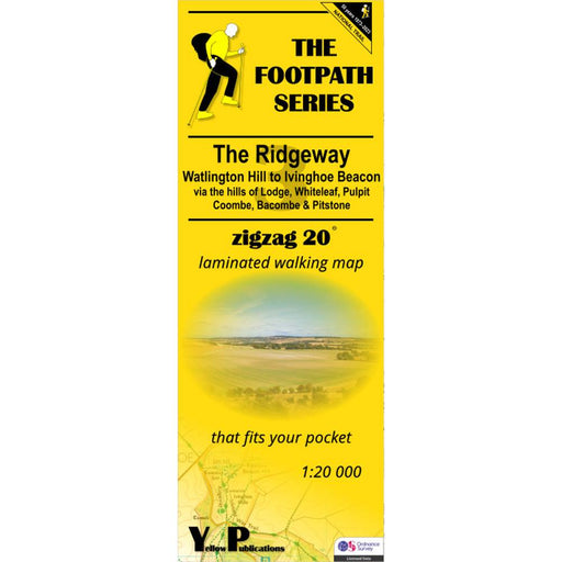
The Ridgeway Zigzag map - 3 - Watlington Hill to Ivinghoe Beacon
£ 9.95This easy-to-read Zigzag map of The Ridgeway covers the section from Watlington Hill to Ivinghoe Beacon via the hills of Lodge, Whiteleaf, Pulpit, ...
View full details£ 9.95 -
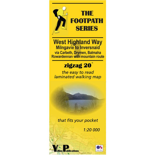
West Highland Way Zigzag map - 1 - Milngavie to Inversnaid
£ 9.95This Zigzag map covers the West Highland Way from Milngavie to Inversnaid, via Carbeth, Drymen, Balmaha and Rowardennan, including the mountain rou...
View full details£ 9.95 -
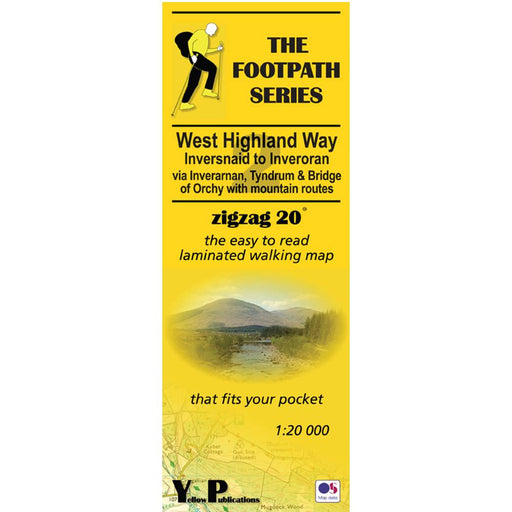
West Highland Way Zigzag map - 2 - Inversnaid to Inveroran
£ 9.95This Zigzag map covers the West Highland Way from Inversnaid to Inveroran, via Inverarnan. Tyndrum and Bridge of Orchy, including the mountain rout...
View full details£ 9.95 -
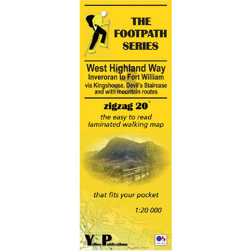
West Highland Way Zigzag map - 3 - Inveroran to Fort William
£ 9.95This Zigzag map covers the West Highland Way from Inveroran to Fort William, via Kingshouse, Devil's Staircase and Kinlochleven, via Inverarnan. Ty...
View full details£ 9.95 -
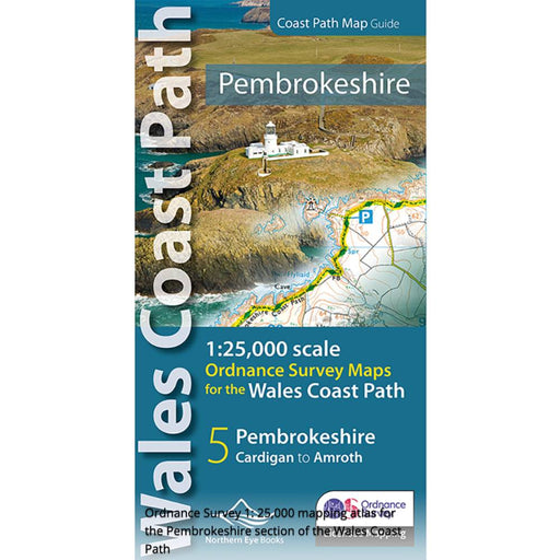
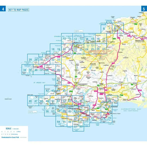
Pembrokeshire and the Pembrokeshire Coast Path Map - Wales Coast Path
£ 9.99Fabulous pocket-sized map booklet of Pembrokeshire showing the Pembrokeshire Coast Path National Trail and the Pembrokeshire section of the wales C...
View full details£ 9.99 -


Pennine Way 2 - Standedge to Ickornshaw - Zigzag map
£ 9.95This Pennine Way map covers the section between Standedge and Ickornshaw via Blackstone Edge, Stoodly Pike, Calderdale and Ickornshaw Moor. What i...
View full details£ 9.95 -


Pennine Way 3 - Ickornshaw to Horton in Ribblesdale- Zigzag map
£ 9.95This Pennine Way map covers the southern Yorkshire Dales section between Ickornshaw and Horton in Ribblesdale via Gargrave, Malham and Pen-y-Ghent ...
View full details£ 9.95 -


Pennine Way 4 - Horton in Ribblesdale to Keld - Zigzag map
£ 9.95This Pennine Way map covers the mid-Yorkshire Dales section between Horton in Ribblesdale and Keld via Hawes, Wensleydale, Great Shunner fell and S...
View full details£ 9.95 -


Pennine Way 5 - Keld to Forest in Teesdale - Zigzag map
£ 9.95This Pennine Way map covers the section between Keld and Forest-in-Teesdale via Tan Hill, Sleightholme Moor, Bowes, Middleton in Teesdale, High For...
View full details£ 9.95 -


Pennine Way 6 - Forest in Teesdale to Garrigill - Zigzag map
£ 9.95This Pennine Way map covers the section between Forest-in-Teesdale and Garrigill via Cauldron Snout, High Cup Nick, Dufton, Great Dun Fell and Cros...
View full details£ 9.95 -


Pennine Way 7 - Garrigill to Once Brewed - Zigzag map
£ 9.95This Pennine Way map covers the section between Garrigill and Once Brewed on Hadrian's Wall, via Alston, South Tynedale, Slaggyford, Greenhead and ...
View full details£ 9.95 -


Pennine Way 8 - Once Brewed to Byrness - Zigzag map
£ 9.95This Pennine Way map covers the section between Once Brewed on Hadrian's Wall and Byrness close to the Scottish Border, via Hadrian's Wall, Haughto...
View full details£ 9.95 -


Pennine Way 9 - Byrness to Kirk Yetholm - Zigzag map
£ 9.95This Pennine Way map covers the section along the Border Ridge from Byrness to Kirk Yetholm, via Ogre Hill, Lamb Hill, Beefstand Hill, Windy Gyle, ...
View full details£ 9.95 -


Hadrian's Wall Path 1 - Wallsend to Humshaugh
£ 9.95This Zigzag map covers the first section of Hadrian's Wall Path from Wallsend to Humshaugh via the Heddon-on-the-Wall, Harlow Hill and Halton Shiel...
View full details£ 9.95 -


Hadrian's Wall Path 2 - Humshaugh to Lanercost
£ 9.95This Zigzag map covers the second section of Hadrian's Wall Path from Humshaugh to Lanercost via Sycamore Gap and Thirlwall Castle including Houses...
View full details£ 9.95 -


Hadrian's Wall Path 3 - Lanercost to Bowness-on-Solway
£ 9.95This Zigzag map covers the second section of Hadrian's Wall Path from Humshaugh to Lanercost via Sycamore Gap and Thirlwall Castle including Houses...
View full details£ 9.95 -


Two Moors Way Harvey map
£ 15.95The Two Moors Way is Devon's coast-to-coast walking route boasting some of the most spectacular scenery in the South West of England. Taking you 11...
View full details£ 15.95 -
 Save 35%
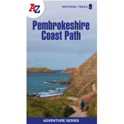
Pembrokeshire Coast Path A-Z Adventure Atlas 2024 edition
Original price £ 9.99Current price £ 6.50This A-Z Adventure Atlas of the Pembrokeshire Coast Path features 1:25,000 scale mapping covering the 186 mile route of this stunning National Trai...
View full detailsOriginal price £ 9.99Current price £ 6.50Save 35%


