Long Distance Hiking Trails UK Maps
Are you looking for a longer walk to enjoy beautiful views and keep active? Our long distance hiking trails UK maps can help you keep on track and reach your destination safely.
Our Cotswold Way Harvey SplashMap is printed onto weatherproof, washable, wearable, breathable material to stay useful during wetter weather. If you are looking for a challenging route, our waterproof My Minimap National Three Peaks Challenge Series is the perfect choice.
-
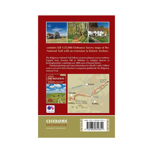
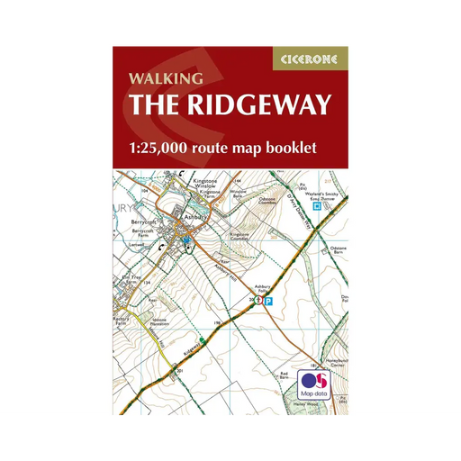
Walking The Ridgeway map booklet
£ 7.95All the mapping you need to walk The Ridgeway National Trail an 87-mile (139km) route through southern England from Avebury in Wiltshire to Ivingho...
View full details£ 7.95 -
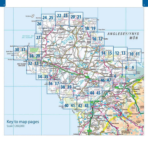
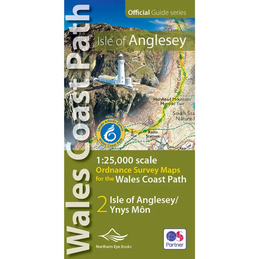
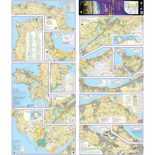
Wales Coast Path Map: Isle of Anglesey OS Map Atlas
£ 9.99This is a map book that covers the Isle of Anglesey on the Wales Coast Path. It includes large scale (1: 25,000) Ordnance Survey mapping in a handy...
View full details£ 9.99 -
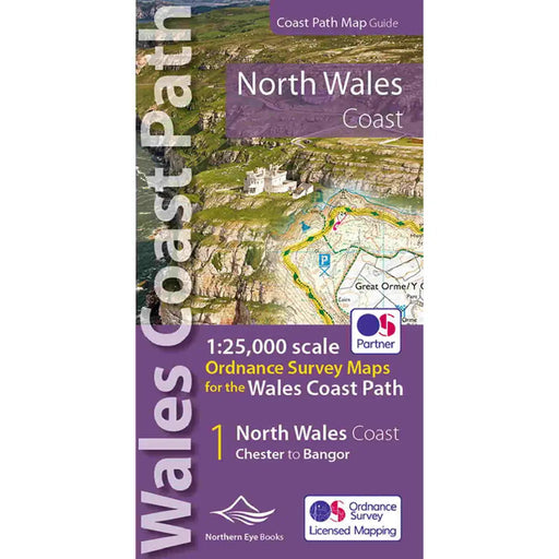
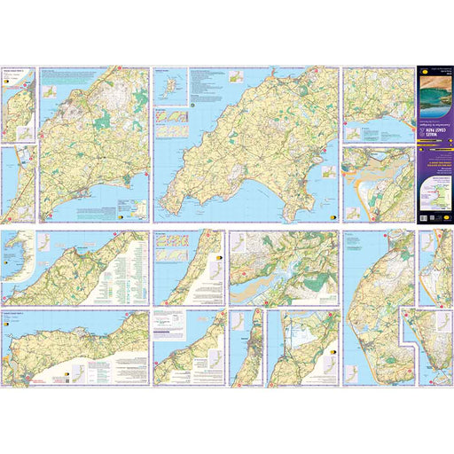
Wales Coast Path Map - North Wales Coast
£ 9.99Our Map of the Llyn Peninsula covers the official Llyn Peninsula route of the Wales Coast Path. It includes enhanced, large-scale (1: 25,000) OS ma...
View full details£ 9.99 -
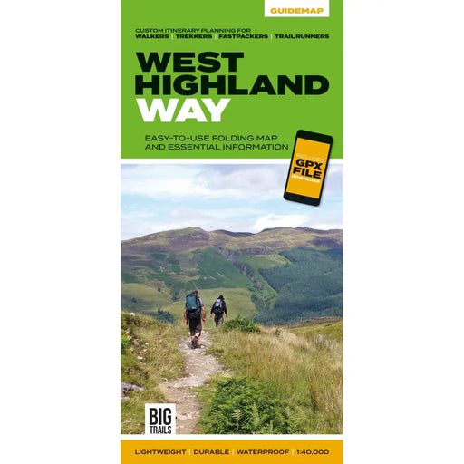
West Highland Way Guidemap
£ 14.95This easy-to-use folding map from Vertebrate is unique in that it provides custom itinerary planning for walkers, trekkers, fastpackers and trail r...
View full details£ 14.95 -

West Highland Way Harvey map
£ 14.50The West Highland Way is 153km (95 miles) from Milngavie, near Glasgow to Fort William. A tough, light, and 100% waterproof map. It gives detailed...
View full details£ 14.50 -
 Sold out
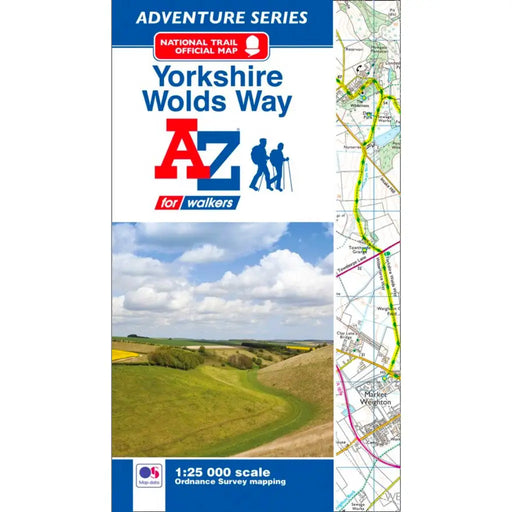
Yorkshire Wolds Way A-Z Adventure Atlas
£ 8.95This map is no longer available. We recommend the Harvey Maps Yorkshire Wolds Way map as an alternative. -----------------------------------------...
View full details£ 8.95Sold out -
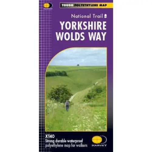
Yorkshire Wolds Way Harvey map
£ 15.95A tough, light, durable and 100% waterproof map of the Yorkshire Wolds Way National Trail. Entire National Trail route on one map. Includes Rights ...
View full details£ 15.95 -

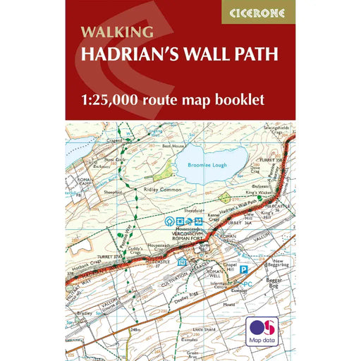
Walking the Hadrian's Wall Path map booklet
£ 12.95All the mapping you need to complete the 84 mile/135km length of the Hadrian's Wall between Bowness-on-Solway in the west and Wallsend in Newcastle...
View full details£ 12.95 -
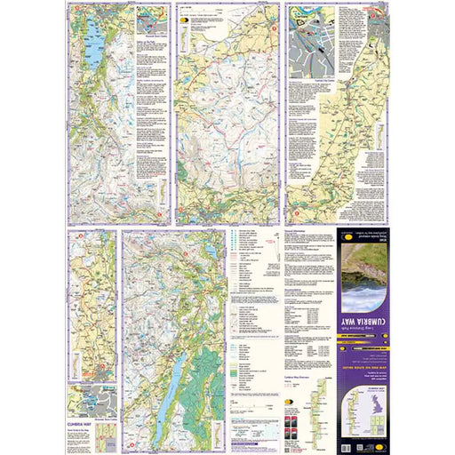
Cumbria Way Harvey map
£ 14.50This Cumbria Way map shows the whole 70 mile (112km) route on one map. The Cumbria Way is a popular route through the stunning landscape of the L...
View full details£ 14.50 -
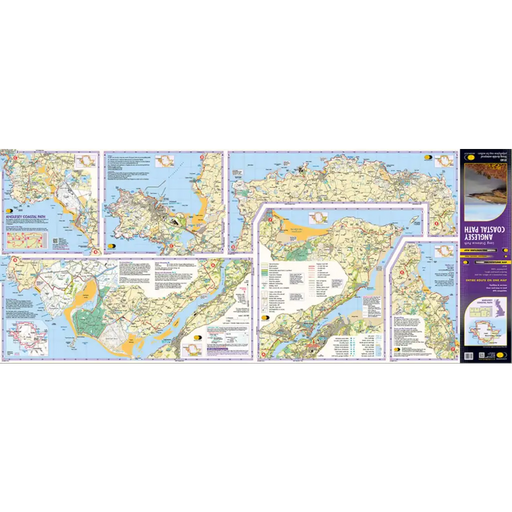
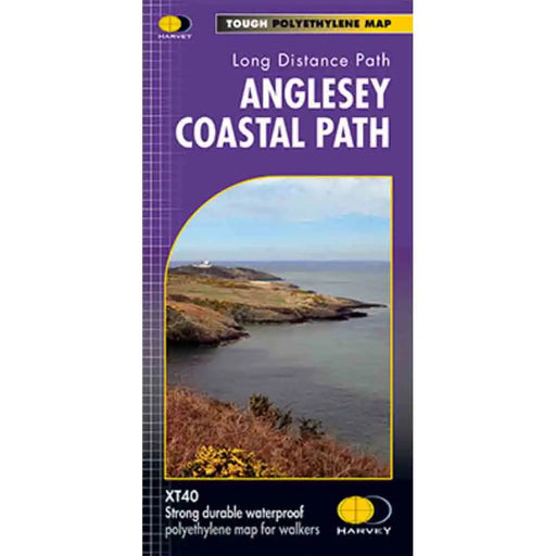
Anglesey Coastal Path Harvey map
£ 14.50This is a map covering the whole of the Anglesey Coast Path. It is everything you need to explore this amazing stretch of the Wales Coast Path. At ...
View full details£ 14.50 -
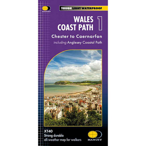
Wales Coast Path 1 - Chester to Caernarfon - Harvey map
£ 16.50The 1400km (870 mile) Wales Coast Path is a long distance trail following the entire coastline of Wales. This varied trail offers rugged and unspoi...
View full details£ 16.50 -
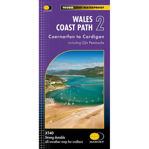
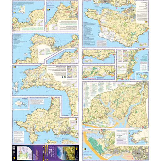
Wales Coast Path 2 -Caernarfon to Cardigan - Harvey map
£ 16.50The 1400km (870 mile) Wales Coast Path is a long distance trail following the entire coastline of Wales. This varied trail offers rugged and unspoi...
View full details£ 16.50 -
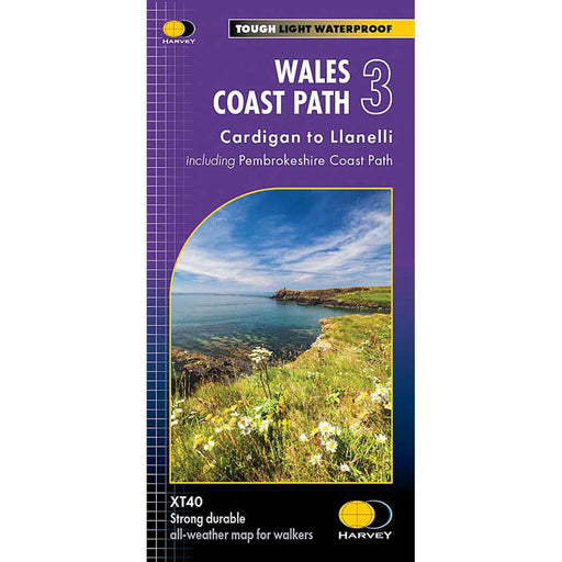
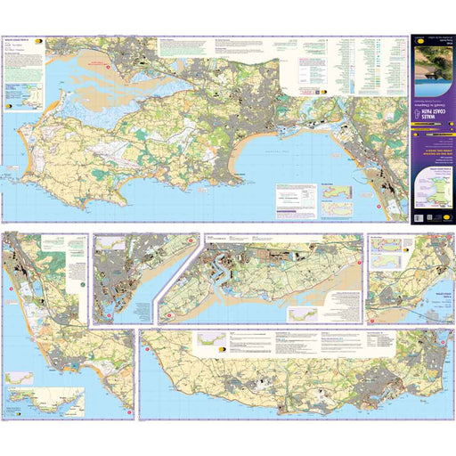
Wales Coast Path 3 - Cardigan to Llanelli & Pembrokeshire Coast Path - Harvey map
£ 16.50This map is the third of a series of 4 Harvey maps covering the whole of the Wales Coast Path. Each map covers a section of the Path suitable for a...
View full details£ 16.50 -
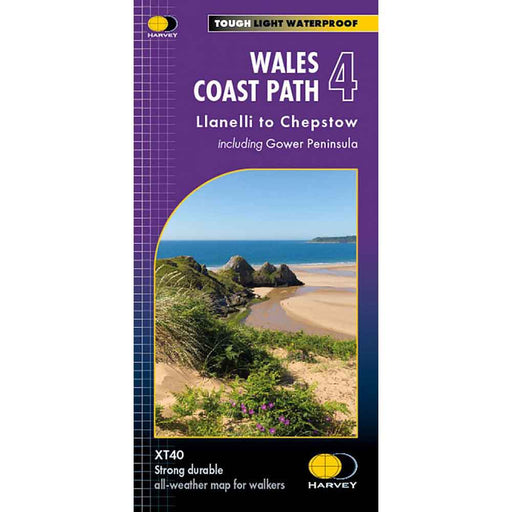
Wales Coast Path 4 - Llanelli to Chepstow - Harvey map
£ 16.50This map is the forth of a series of 4 Harvey maps covering the whole of the Wales Coast Path. Each map covers a section of the Path suitable for a...
View full details£ 16.50 -
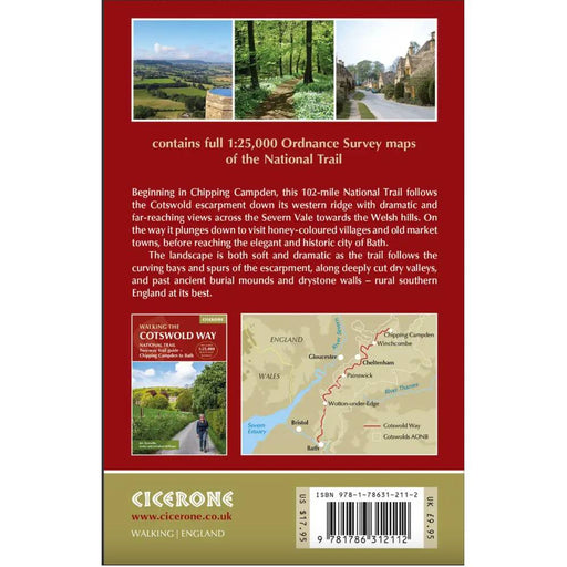
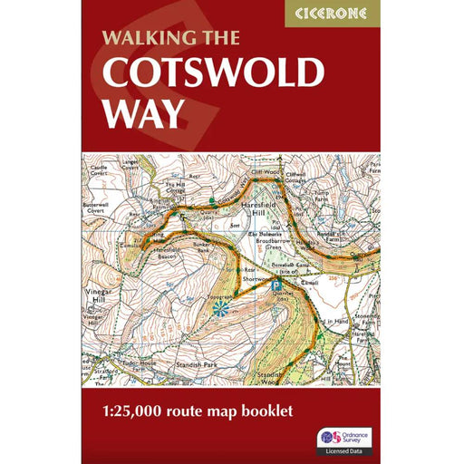
Walking the Cotswold Way map booklet
£ 9.95All the mapping you need to complete the 102 mile (163km) Cotswold Way National Trail, between Chipping Camden and Bath.This booklet, updated in 20...
View full details£ 9.95 -
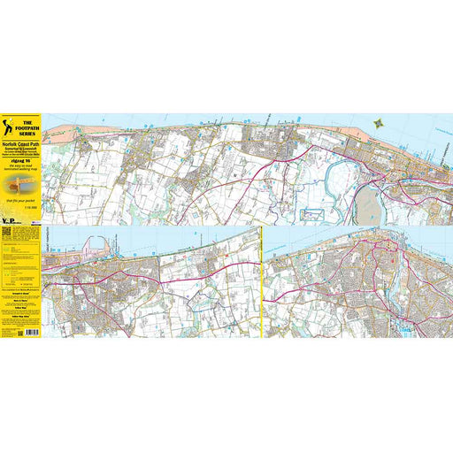
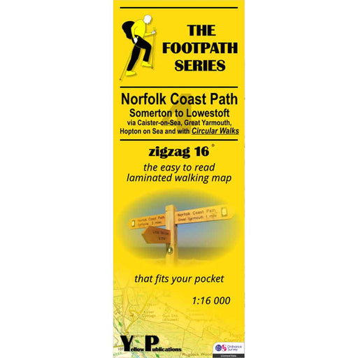
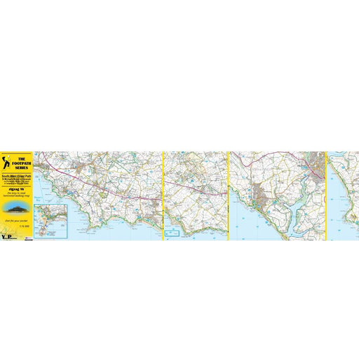
Norfolk Coast Path Zigzag map - Somerton to Lowestoft
£ 9.95As their name suggests, Zigzag maps come in a concertina strip format and with 200cm of mapping, they can follow a long distance footpath at a scal...
View full details£ 9.95 -
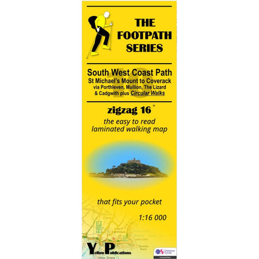
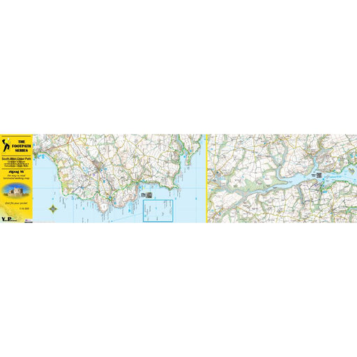
South West Coast Path Zigzag map - 10 - St Michael's Mount to Coverack
£ 9.95This South West Coast Path map covers the section between St Michael's Mount and Coverack via Porthleven, Mullion, The Lizard and Cadgwith. It also...
View full details£ 9.95 -
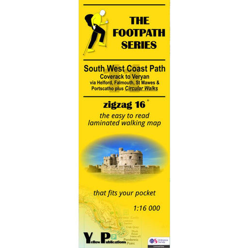
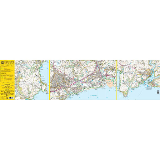
South West Coast Path Zigzag map - 11 - Coverack to Veryan
£ 9.95This South West Coast Path map covers the section between Coverack and Veryan via Helford, Falmouth, St Mawes and Portscatho. It also includes seve...
View full details£ 9.95 -
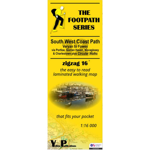
South West Coast Path Zigzag map - 12 - Veryan to Fowey
£ 9.95This South West Coast Path map covers the section between Veryan and Fowey via Portloe, Gorran Haven, Mevagissey and Charlestown. It also includes ...
View full details£ 9.95 -
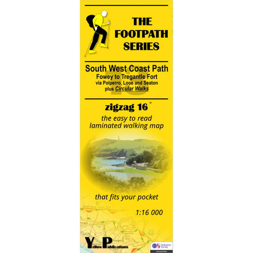
South West Coast Path Zigzag map - 13 - Fowey to Tregantle Fort
£ 9.95This South West Coast Path map covers the section between Fowey and Tregantle Fort via Polperro, Looe and Seaton. It also includes several circular...
View full details£ 9.95 -
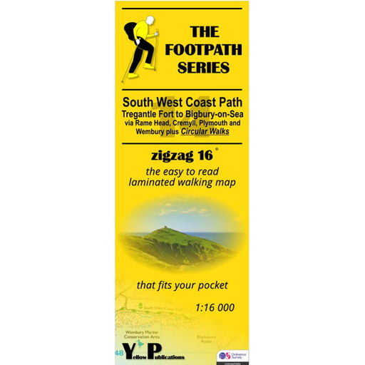
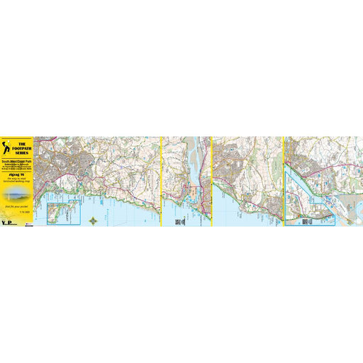
South West Coast Path Zigzag map - 14 - Tregantle Fort to Bigbury-on-Sea
£ 9.95This South West Coast Path map covers the section between Tregantle Fort and Bigbury-on-Sea via Rame Head, Cremyll, Plymouth and Wembury. It also i...
View full details£ 9.95 -
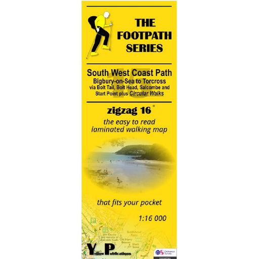
South West Coast Path Zigzag map - 15 - Bigbury-on-Sea to Torcross
£ 9.95This South West Coast Path map covers the section between Bigbury-on-Sea and Torcross via Bolt Tail, Bolt Head, Salcome and Start point. It also in...
View full details£ 9.95 -
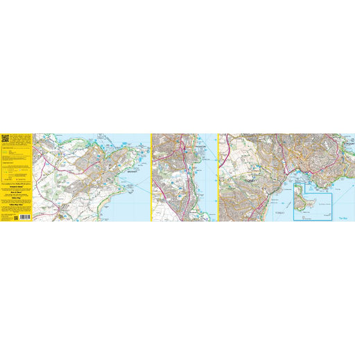
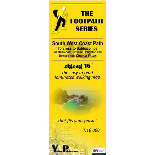
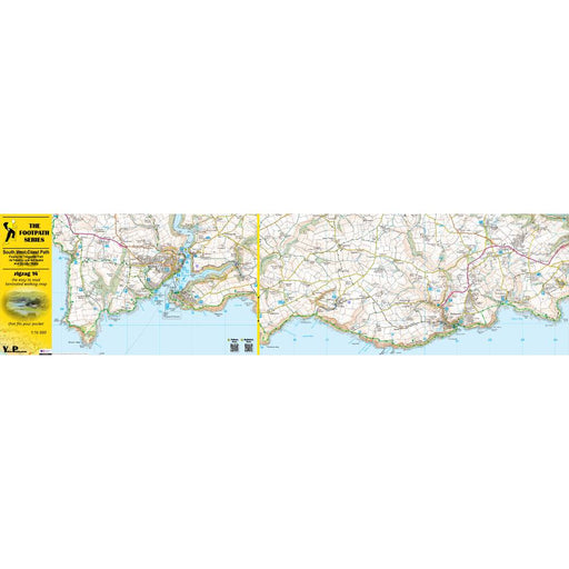
South West Coast Path Zigzag map - 16 - Torcross to Babbacombe
£ 9.95This South West Coast Path map covers the section between Torcross and Babbacombe via Dartmouth, Brixham, Paignton and Torquay. It also includes se...
View full details£ 9.95 -
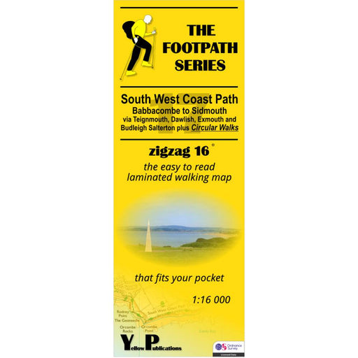
South West Coast Path Zigzag map - 17 - Babbacombe to Sidmouth
£ 9.95This South West Coast Path map covers the section between Babbacombe and Sidmouth via Teignmouth, Dawlish, Exmouth and Budleigh Salterton. It also ...
View full details£ 9.95 -
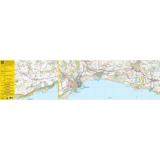
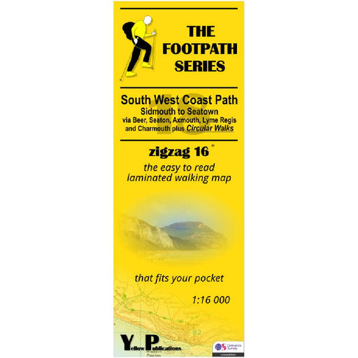
South West Coast Path Zigzag map - 18 - Sidmouth to Seatown
£ 9.95This South West Coast Path map covers the section between Sidmouth and Seatown via Beer, Seaton, Axmouth, Lyme Regis and Charmouth. It also include...
View full details£ 9.95 -
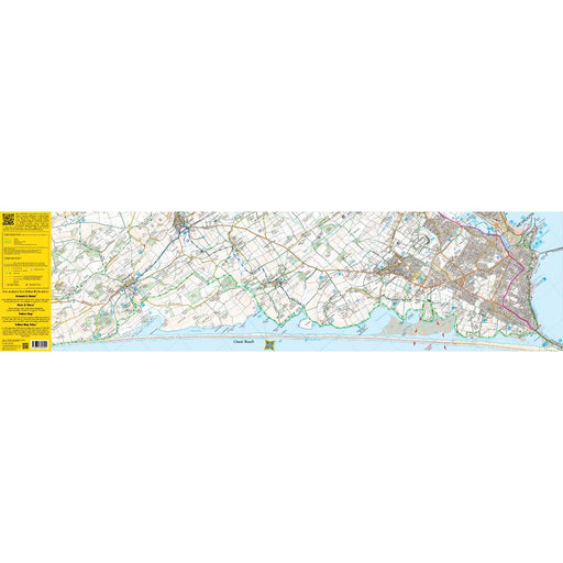
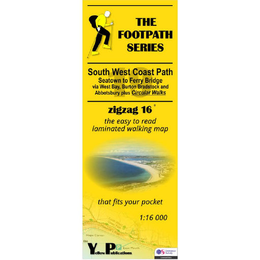
South West Coast Path Zigzag map - 19 - Seatown to Ferry Bridge
£ 9.95This South West Coast Path map covers the section between Seatown and Ferry Bridge via West Bay, Burton Bradstock and Abbotsbury. It also includes ...
View full details£ 9.95 -
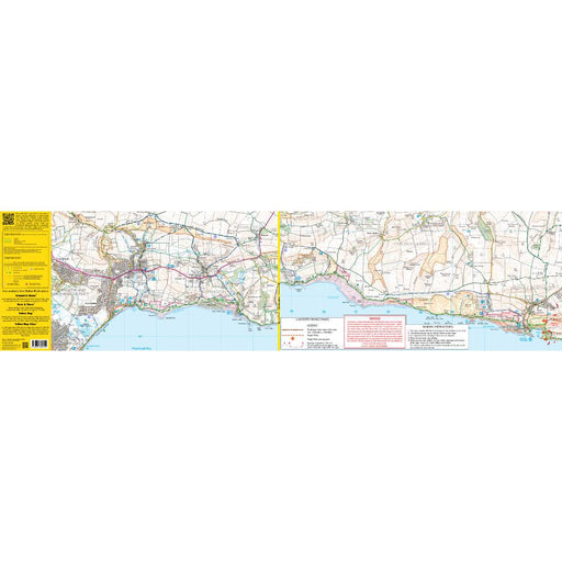
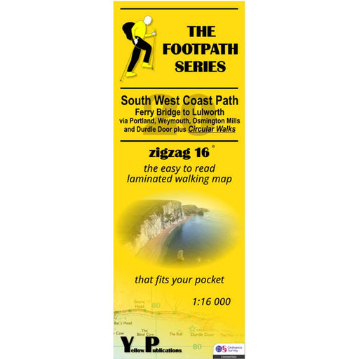
South West Coast Path Zigzag map - 20 - Ferry Bridge to Lulworth
£ 9.95This South West Coast Path map covers the section between Ferry Bridge and Lulworth via Portland, Weymouth, Osmington Mills and Durdle Door. It als...
View full details£ 9.95 -
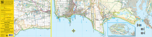
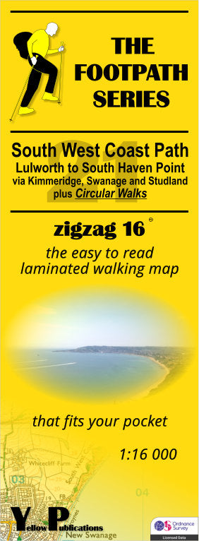
South West Coast Path Zigzag map - 21 - Lulworth to South Haven Point
£ 9.95This South West Coast Path map covers the section between Lulworth and South Haven Point via Kimmeridge, Swanage and Studland. It also includes sev...
View full details£ 9.95 -
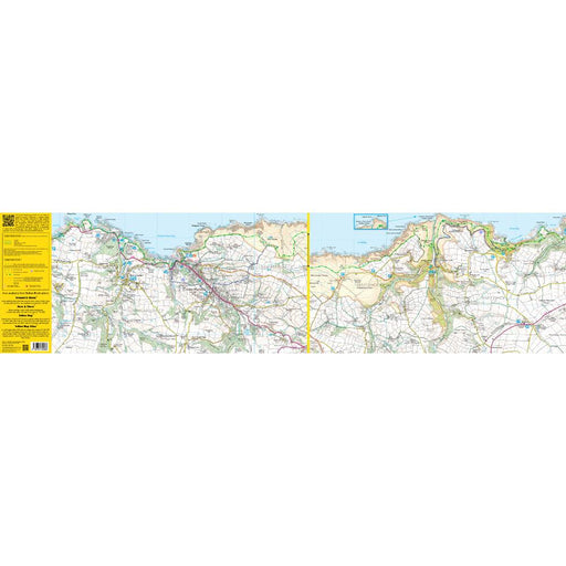
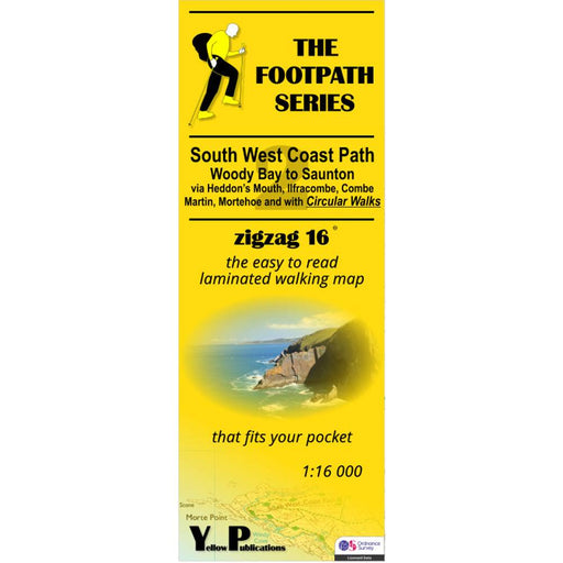
South West Coast Path Zigzag map - 2 - Woody Bay to Saunton
£ 9.95This zigzag map covers the Woody Bay to Saunton section of the South West Coast Path, via Heddon's Mouth, Ilfracombe, Combe Martin and Mortenhoe. ...
View full details£ 9.95 -
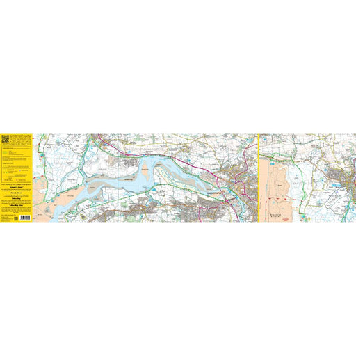
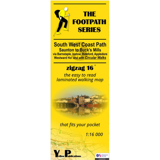
South West Coast Path Zigzag map - 3 - Saunton to Buck's Mills
£ 9.95This zigzag map covers the Saunton to Buck's Mills section of the South West Coast Path, via Barnstaple, Instow, Bideford, Appledore and Westwood H...
View full details£ 9.95 -

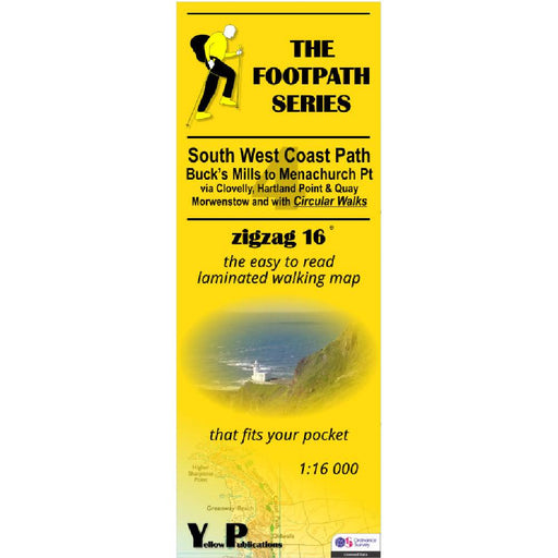
South West Coast Path Zigzag map - 4 - Buck's Mills to Menachurch Point
£ 9.95This zigzag map covers the Buck's Mills to Menachurch Point section of the South West Coast Path, via Clovelly, Hartland Point and Quay and Morwens...
View full details£ 9.95 -
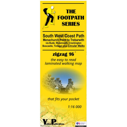
South West Coast Path Zigzag map - 5 - Menachurch Point to Trebarwith
£ 9.95This zigzag map covers the Menachurch Point to Trebarwith section of the South West Coast Path, via Bude, Widemouth, Crackington, Boscastle and Tin...
View full details£ 9.95 -

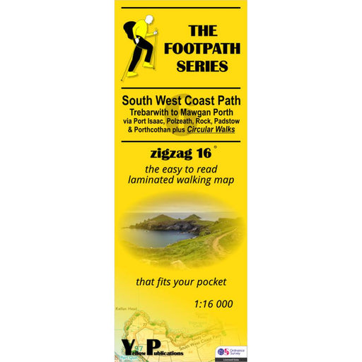
South West Coast Path Zigzag map - 6 - Trebarwith to Mawgan Porth
£ 9.95This zigzag map covers the Trebarwith to Mawgan Porth section of the South West Coast Path, via Port Isaac, Polzeath, Rock, Padstow and Porthcothan...
View full details£ 9.95 -
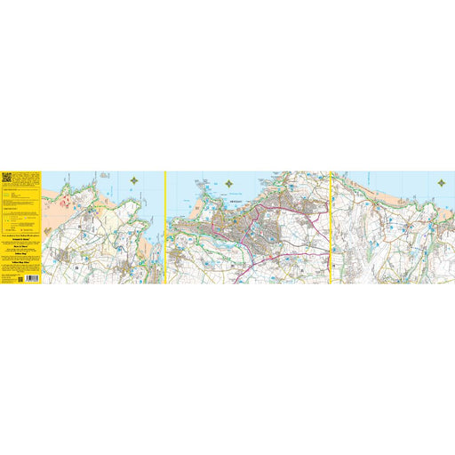
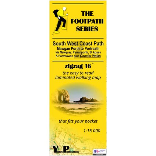
South West Coast Path Zigzag map - 7 - Mawgan Porth to Portreath
£ 9.95This zigzag map covers the Mawgan Porth to Portreath section of the South West Coast Path, via Newquay, Perranporth, St Agnes and Porthtowan. As we...
View full details£ 9.95 -
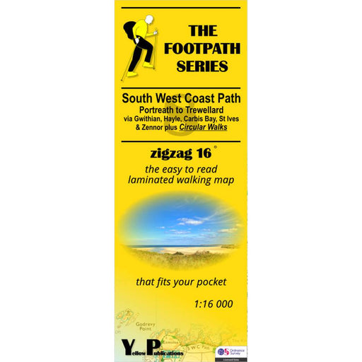
South West Coast Path Zigzag map - 8 - Portreath to Trewellard
£ 9.95This zigzag map covers the Portreath to Trewellard section of the South West Coast Path, via Gwithian, Hayle, Carbis Bay, St Ives and Zennor. As we...
View full details£ 9.95 -
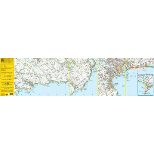
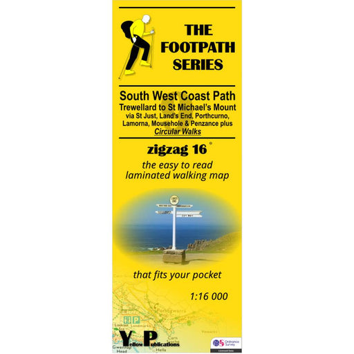
South West Coast Path Zigzag map - 9 - Trewellard to St Michael's Mount
£ 9.95This zigzag map covers the Trewellard to St Michael's Mount section of the South West Coast Path, via St Just, Land's End, Porthcorno, Lamorna, Mou...
View full details£ 9.95


