Harvey Maps
-
 Sale
Sale
St Cuthbert's Way Harvey map
£ 14.50| /One of Scotland's Great Trails, the St Cuthbert's Way links places associated with the life of the 7th century saint, Cuthbert. From Melrose Abbey...
View full details£ 14.50| /Sale -
 Sale
Sale
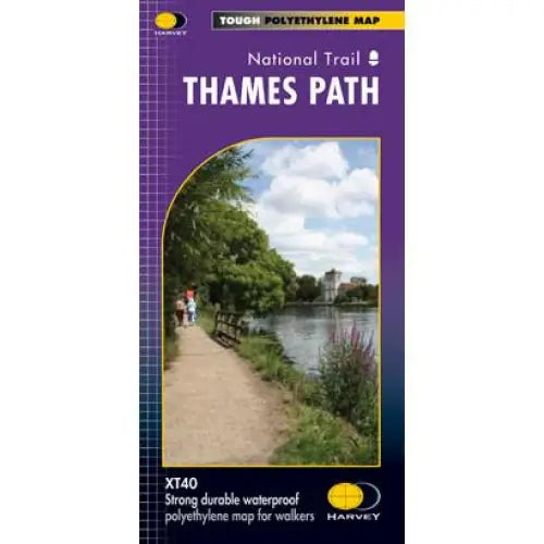
Thames Path Harvey map
£ 14.50| /Tough, light and 100% waterproof. Detailed mapping with full legend. National Grid - can be used with GPS. 1:40,000 scale. Compact and light - hal...
View full details£ 14.50| /Sale -

 Sale
Sale
Two Moors Way Harvey map
£ 15.95| /The Two Moors Way is Devon's coast-to-coast walking route boasting some of the most spectacular scenery in the South West of England. Taking you 11...
View full details£ 15.95| /Sale -
 Sale
Sale
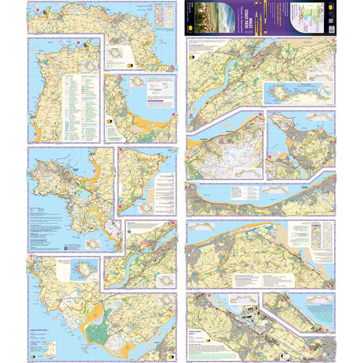
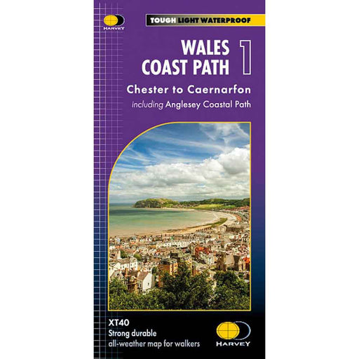
Wales Coast Path 1 - Chester to Caernarfon - Harvey map
£ 16.50| /The 1400km (870 mile) Wales Coast Path is a long distance trail following the entire coastline of Wales. This varied trail offers rugged and unspoi...
View full details£ 16.50| /Sale -
 Sale
Sale
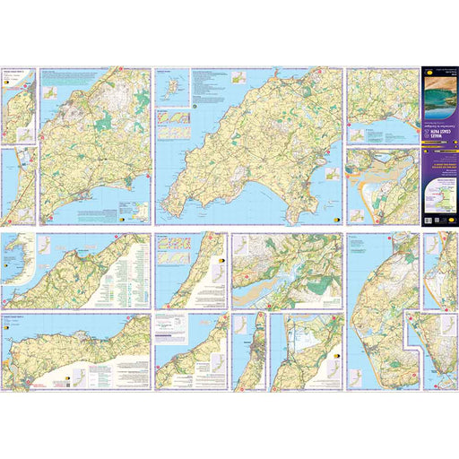
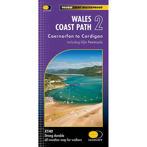
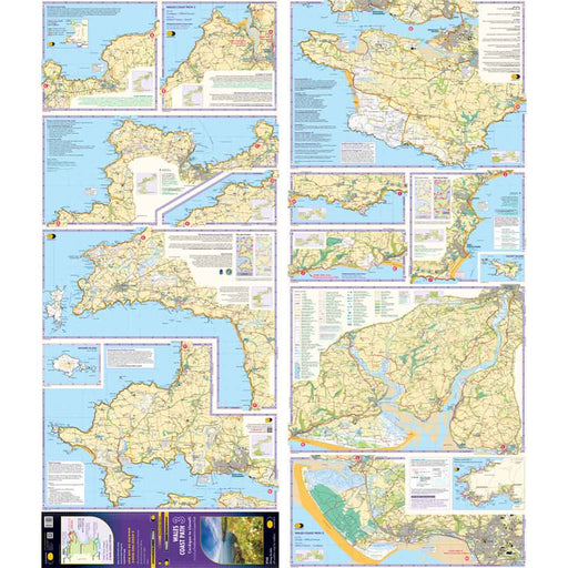
Wales Coast Path 2 -Caernarfon to Cardigan - Harvey map
£ 16.50| /The 1400km (870 mile) Wales Coast Path is a long distance trail following the entire coastline of Wales. This varied trail offers rugged and unspoi...
View full details£ 16.50| /Sale -
 Sale
Sale
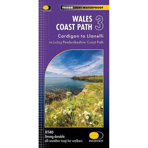
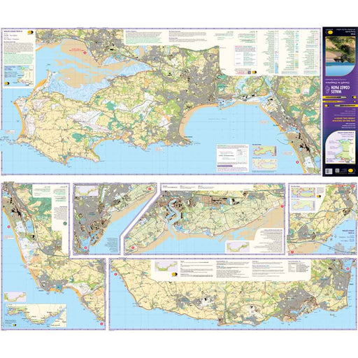
Wales Coast Path 3 - Cardigan to Llanelli & Pembrokeshire Coast Path - Harvey map
£ 16.50| /This map is the third of a series of 4 Harvey maps covering the whole of the Wales Coast Path. Each map covers a section of the Path suitable for a...
View full details£ 16.50| /Sale -
 Sale
Sale
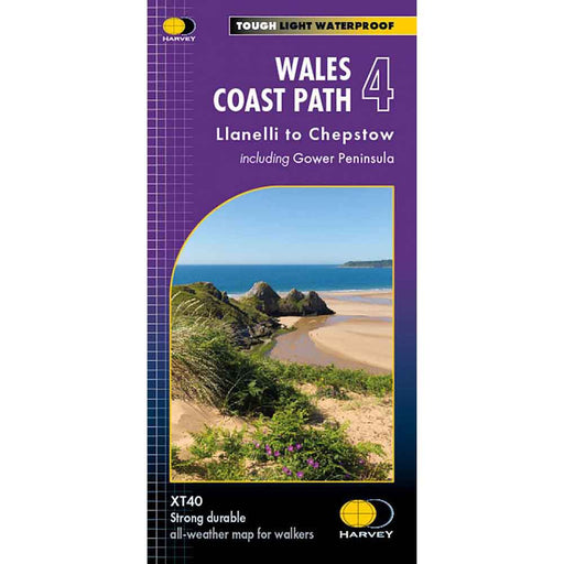
Wales Coast Path 4 - Llanelli to Chepstow - Harvey map
£ 16.50| /This map is the forth of a series of 4 Harvey maps covering the whole of the Wales Coast Path. Each map covers a section of the Path suitable for a...
View full details£ 16.50| /Sale -
 Sale
Sale
West Highland Way Harvey map
£ 14.50| /The West Highland Way is 153km (95 miles) from Milngavie, near Glasgow to Fort William. A tough, light, and 100% waterproof map. It gives detailed...
View full details£ 14.50| /Sale -
 Sale
Sale
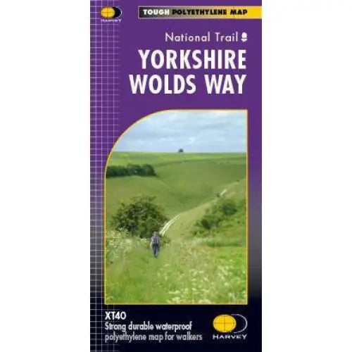
Yorkshire Wolds Way Harvey map
£ 15.95| /A tough, light, durable and 100% waterproof map of the Yorkshire Wolds Way National Trail. Entire National Trail route on one map. Includes Rights ...
View full details£ 15.95| /Sale


