Hadrian's Wall Path Maps
-
 Sold out
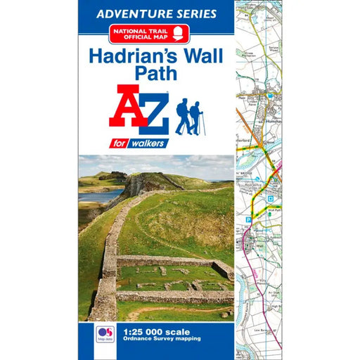
Hadrian's Wall Path A-Z Adventure Atlas
£ 8.95| /This map is now out of stock, and we don't know if the publishers will produce more. An alternative is the Hadrian's Wall Path Guidemap or the Harv...
View full details£ 8.95| /Sold out -
 Sale
Sale
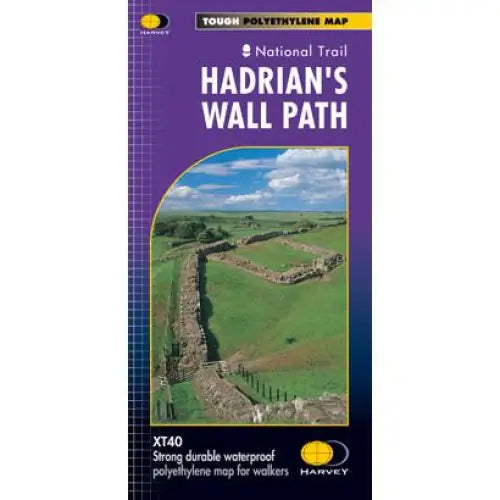
Hadrian's Wall Path Harvey map
£ 15.95| /Tough, light and 100% waterproof. Detailed mapping with full legend. National Grid - can be used with GPS. 1:40,000 scale. Compact and light - hal...
View full details£ 15.95| /Sale -
 Sale
Sale
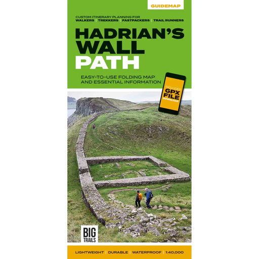
Hadrian's Wall Path Guidemap
£ 14.95| /This easy-to-use folding map from Vertebrate is unique in that it provides custom itinerary planning for walkers, trekkers, fastpackers and trail r...
View full details£ 14.95| /Sale -
 Sale
Sale
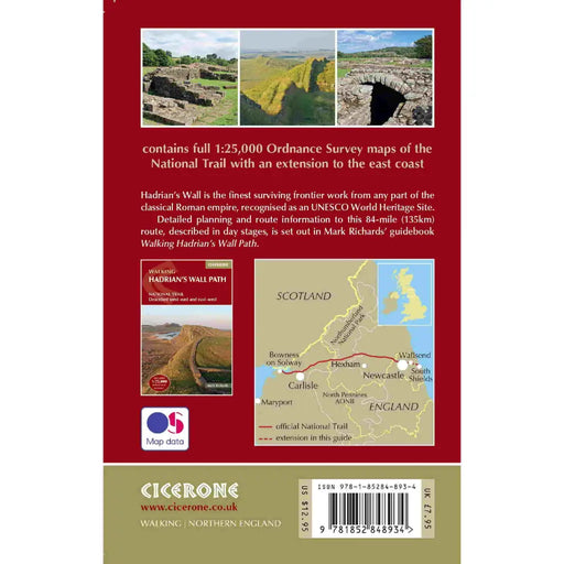
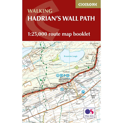
Walking the Hadrian's Wall Path map booklet
£ 12.95| /All the mapping you need to complete the 84 mile/135km length of the Hadrian's Wall between Bowness-on-Solway in the west and Wallsend in Newcastle...
View full details£ 12.95| /Sale -

 Sale
Sale
Hadrian's Wall Path 1 - Wallsend to Humshaugh
£ 9.95| /This Zigzag map covers the first section of Hadrian's Wall Path from Wallsend to Humshaugh via the Heddon-on-the-Wall, Harlow Hill and Halton Shiel...
View full details£ 9.95| /Sale -

 Sale
Sale
Hadrian's Wall Path 2 - Humshaugh to Lanercost
£ 9.95| /This Zigzag map covers the second section of Hadrian's Wall Path from Humshaugh to Lanercost via Sycamore Gap and Thirlwall Castle including Houses...
View full details£ 9.95| /Sale -

 Sale
Sale
Hadrian's Wall Path 3 - Lanercost to Bowness-on-Solway
£ 9.95| /This Zigzag map covers the second section of Hadrian's Wall Path from Humshaugh to Lanercost via Sycamore Gap and Thirlwall Castle including Houses...
View full details£ 9.95| /Sale -
 Sale
Sale
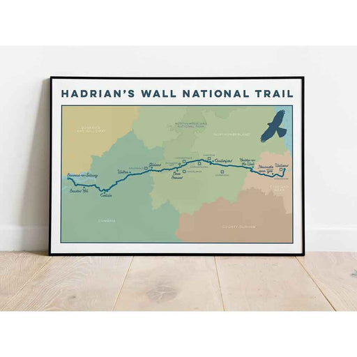
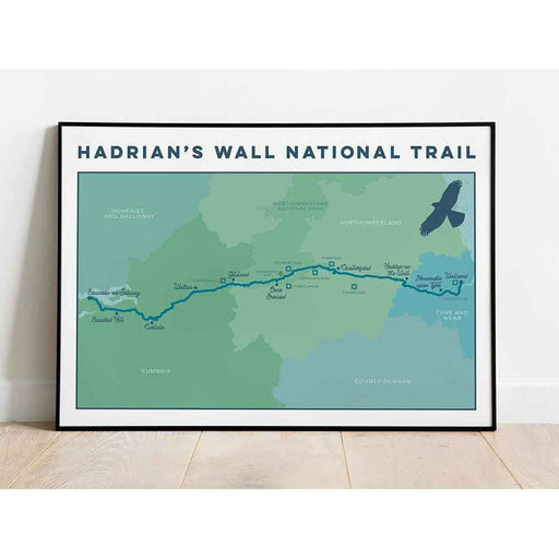
Hadrian's Wall Path Art Print
from £ 19.95| /This 84 mile long National Trail takes you on a journey along the ancient Hadrian's wall which spans the width of the country, going coast to coast...
View full detailsfrom £ 19.95| /Sale -

 Save 15%
Pennine Way 7 - Garrigill to Once Brewed - Zigzag map
Original price £ 9.95Current price £ 8.50| /This Pennine Way map covers the section between Garrigill and Once Brewed on Hadrian's Wall, via Alston, South Tynedale, Slaggyford, Greenhead and ...
View full detailsOriginal price £ 9.95Current price £ 8.50| /Save 15% -

 Save 15%
Pennine Way 8 - Once Brewed to Byrness - Zigzag map
Original price £ 9.95Current price £ 8.50| /This Pennine Way map covers the section between Once Brewed on Hadrian's Wall and Byrness close to the Scottish Border, via Hadrian's Wall, Haughto...
View full detailsOriginal price £ 9.95Current price £ 8.50| /Save 15%


