Cicerone Map Booklets
Pocked-sized mapping in booklet form for long distance trails from Cicerone. Ordnance Survey 1:25,000 Explorer mapping means you'll never get lost!
-
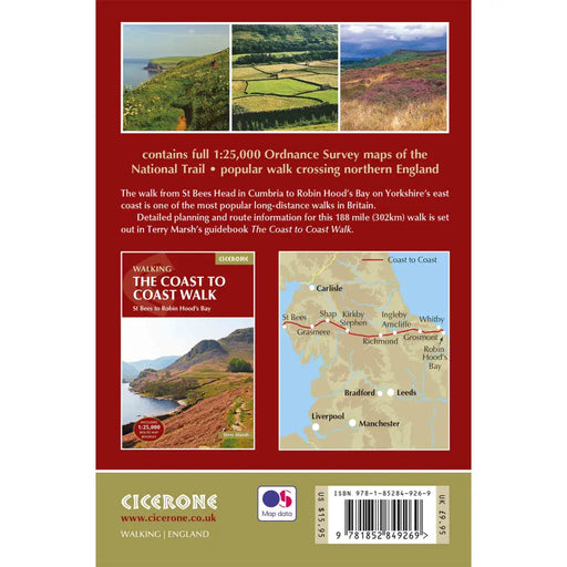
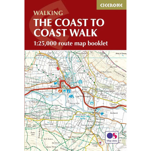
Cicerone Coast to Coast Walk OS Map Booklet
£ 12.95The Cicerone Press Coast to Coast OS Map Booklet is the perfect companion to guide you on your way from St Bees in Cumbria to Robin Hood’s Bay in N...
View full details£ 12.95 -
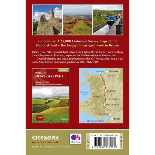
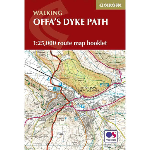
Walking Offa's Dyke Path map booklet
£ 12.95All the mapping you need to walk Offa's Dyke Path National Trail which runs for 177 miles along the English-Welsh border between Sedbury (near Chep...
View full details£ 12.95 -
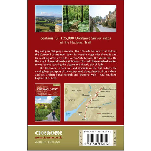
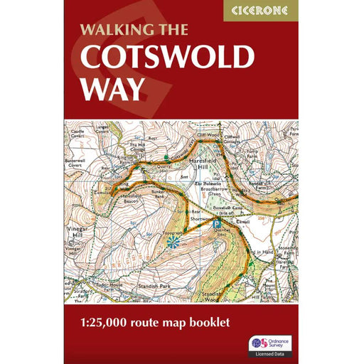
Walking the Cotswold Way map booklet
£ 9.95All the mapping you need to complete the 102 mile (163km) Cotswold Way National Trail, between Chipping Camden and Bath.This booklet, updated in 20...
View full details£ 9.95 -

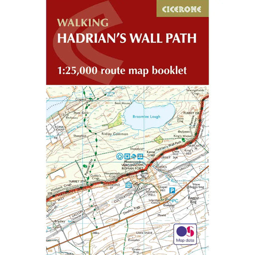
Walking the Hadrian's Wall Path map booklet
£ 12.95All the mapping you need to complete the 84 mile/135km length of the Hadrian's Wall between Bowness-on-Solway in the west and Wallsend in Newcastle...
View full details£ 12.95 -


Walking the Pembrokeshire Coast Path map booklet
£ 12.95All the mapping you need to complete the 180 mile/290km long-distance Pembrokeshire Coast Path National Trail from Amroth to St Dogmaels in Wales. ...
View full details£ 12.95 -


Walking the Pennine Way map booklet
£ 14.95The very best map to accompany you on your Pennine Way adventure. This pocket-sized map booklet comes in a waterproof cover and gives clear Ordnanc...
View full details£ 14.95 -


Walking The Ridgeway map booklet
£ 9.95All the mapping you need to walk The Ridgeway National Trail an 87-mile (139km) route through southern England from Avebury in Wiltshire to Ivingho...
View full details£ 9.95 -
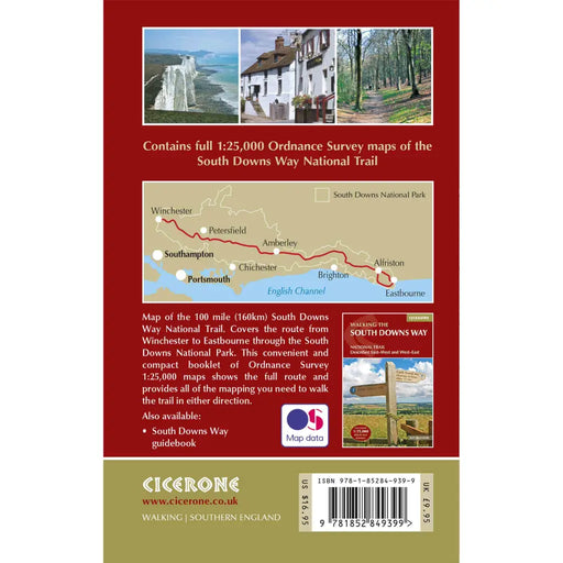
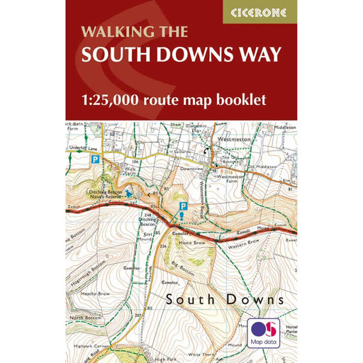
Walking the South Downs Way map booklet
£ 12.95All the mapping you need to complete the 100 mile (160km) South Downs Way National Trail, between Eastbourne and Winchester. With easy walking on a...
View full details£ 12.95


