Skip to content
Take part in our Easter egg hunt and win a fabulous Easter bundle!

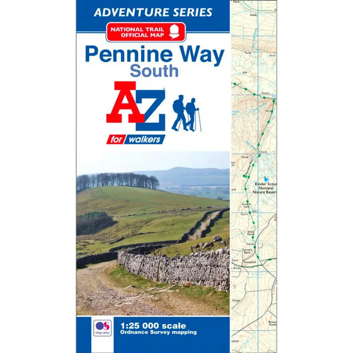
Pennine Way (South) A-Z Adventure Atlas

Sold out
£ 8.95

This map is out of print - take a look at the Harvey Map Pennine Way South as an alternative. 

The A-Z Adventure series features the accuracy and quality of the 25k OS Explorer mapping in a convenient book, complete with index.

This A-Z Adventure Atlas of the Pennine Way (South) features the southern half of the Pennine Way, covering the route from Edale, Derbyshire, to Bowes in the North Pennines, 207km (129 miles) of the total route. This Atlas features 44 pages of continuous Ordnance Survey mapping providing coverage of the southern section of the Pennine Way. This atlas includes a route planner providing the distances between places and the amenities available, featuring:

  • Information Centres
  • Hotels/B&Bs
  • Youth Hostels
  • Campsites (seasonal opening)
  • Restaurants
  • Public Houses
  • Cafes (seasonal opening)
  • Shops
  • Petrol Stations

Also featured is advice on safety and security when walking, details of Tourist Information Centres and a selection of QR codes linked to useful websites.

This A-Z Adventure Atlas has the accuracy and quality of OS Explorer mapping indexed within a book, making it the perfect companion for walkers, off-road cyclists, horse riders and anyone wishing to explore the great outdoors.

Also available: A-Z Adventure Atlas of the Pennine Way (North).

Please note that the Pennine Way maps show the line of the trail but do not highlight it in yellow.