The Pennine Way Maps & Guidebooks
At The Trails Shop, we have a selection of Pennine way maps to lead you safely on your travels in a convenient and weatherproof way. The Walking the Pennine Way Map Booklet is the perfect companion to bring, helping you plan your route.
Alternatively, the Pennine Way North and South Harvey maps will guide you on your way through the trail.-
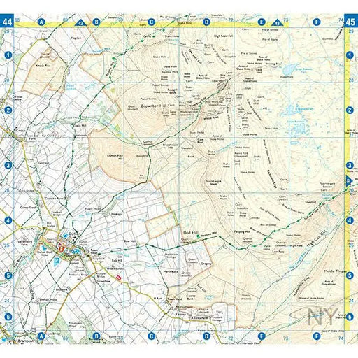
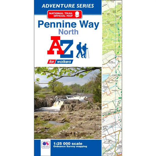 Sold out
Pennine Way (North) A-Z Adventure Atlas
£ 8.95| /This map is out of print. We don't know if the publisher is going to reprint. We recommend the Cicerone Press Pennine Way map booklet as an alterna...
View full details£ 8.95| /Sold out -
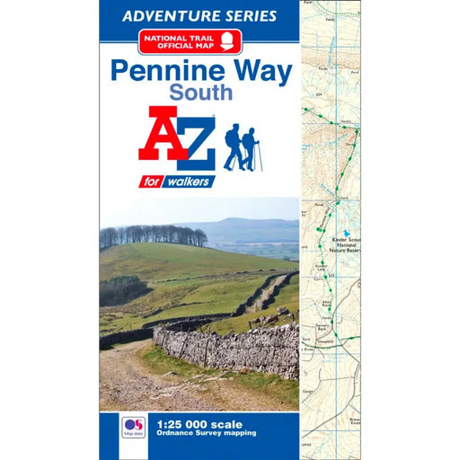 Sold out
Pennine Way (South) A-Z Adventure Atlas
£ 8.95| /This map is out of print - take a look at the Harvey Map Pennine Way South or the Cicerone Press Pennine Way map booklet as an alternative.
£ 8.95| /Sold out -
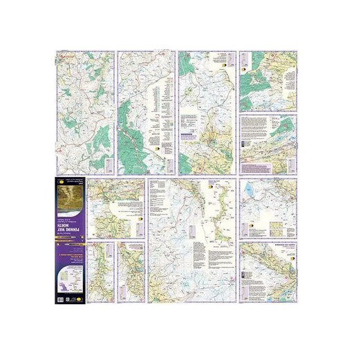
 Sale
Sale
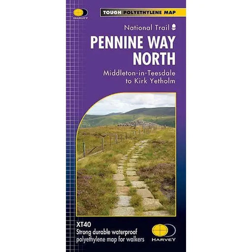
Pennine Way (North) - Harvey map - Middleton-in-Teesdale to Kirk Yetholm
£ 17.50| /This Harvey map of the Pennine Way covers the northern section of the Trail from Middleton-in-Teesdale to Kirk Yetholm. Please note, the new Harvey...
View full details£ 17.50| /Sale -
 Sale
Sale
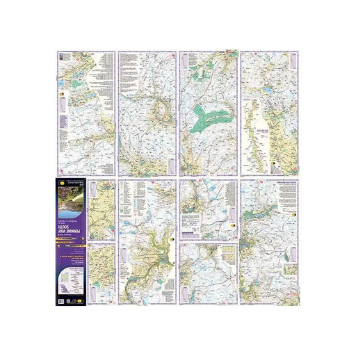
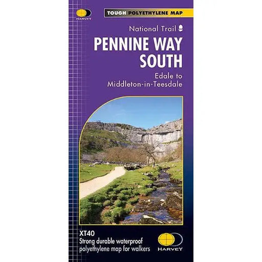
Pennine Way (South) - Harvey map - Edale to Middleton-in-Teesdale
£ 17.50| /This Harvey map of the Pennine Way covers the southern section of the Trail from Edale to Middleton-in-Teesdale. Tough, light, durable and 100% wa...
View full details£ 17.50| /Sale -

 Sale
Sale
Walking the Pennine Way map booklet
£ 14.95| /The very best map to accompany you on your Pennine Way adventure. This pocket-sized map booklet comes in a waterproof cover and gives clear Ordnanc...
View full details£ 14.95| /Sale -
 Save 15%
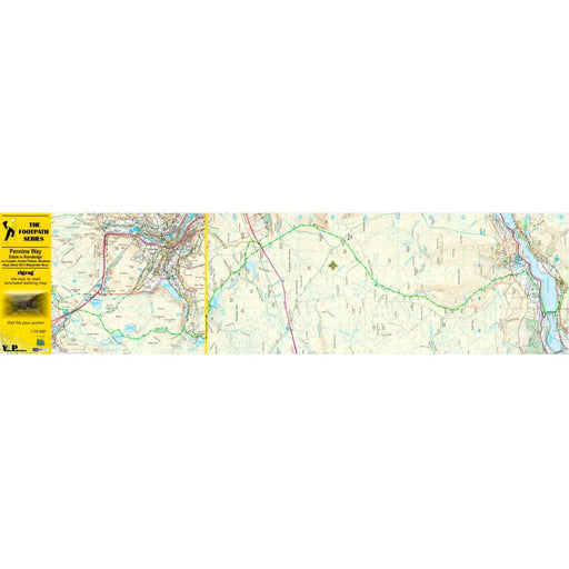
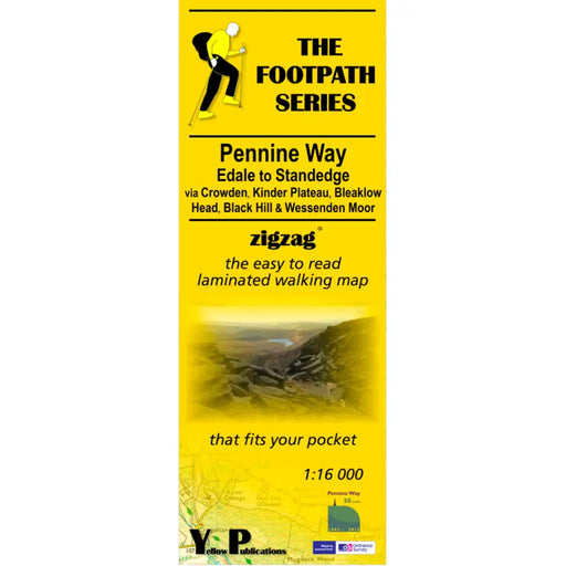
Pennine Way 1 - Zigzag map - Edale to Standedge
Original price £ 9.95Current price £ 8.50| /This Pennine Way map covers the section between Edale and Standedge via Crowden, Kinder Plateau, Bleaklow Head, Black Hill and Wessenden Moor. What...
View full detailsOriginal price £ 9.95Current price £ 8.50| /Save 15% -

 Save 15%
Pennine Way 2 - Standedge to Ickornshaw - Zigzag map
Original price £ 9.95Current price £ 8.50| /This Pennine Way map covers the section between Standedge and Ickornshaw via Blackstone Edge, Stoodly Pike, Calderdale and Ickornshaw Moor. What i...
View full detailsOriginal price £ 9.95Current price £ 8.50| /Save 15% -

 Save 15%
Pennine Way 3 - Ickornshaw to Horton in Ribblesdale- Zigzag map
Original price £ 9.95Current price £ 8.50| /This Pennine Way map covers the southern Yorkshire Dales section between Ickornshaw and Horton in Ribblesdale via Gargrave, Malham and Pen-y-Ghent ...
View full detailsOriginal price £ 9.95Current price £ 8.50| /Save 15% -

 Save 15%
Pennine Way 4 - Horton in Ribblesdale to Keld - Zigzag map
Original price £ 9.95Current price £ 8.50| /This Pennine Way map covers the mid-Yorkshire Dales section between Horton in Ribblesdale and Keld via Hawes, Wensleydale, Great Shunner fell and S...
View full detailsOriginal price £ 9.95Current price £ 8.50| /Save 15% -

 Save 15%
Pennine Way 5 - Keld to Forest in Teesdale - Zigzag map
Original price £ 9.95Current price £ 8.50| /This Pennine Way map covers the section between Keld and Forest-in-Teesdale via Tan Hill, Sleightholme Moor, Bowes, Middleton in Teesdale, High For...
View full detailsOriginal price £ 9.95Current price £ 8.50| /Save 15% -

 Save 15%
Pennine Way 6 - Forest in Teesdale to Garrigill - Zigzag map
Original price £ 9.95Current price £ 8.50| /This Pennine Way map covers the section between Forest-in-Teesdale and Garrigill via Cauldron Snout, High Cup Nick, Dufton, Great Dun Fell and Cros...
View full detailsOriginal price £ 9.95Current price £ 8.50| /Save 15% -

 Save 15%
Pennine Way 7 - Garrigill to Once Brewed - Zigzag map
Original price £ 9.95Current price £ 8.50| /This Pennine Way map covers the section between Garrigill and Once Brewed on Hadrian's Wall, via Alston, South Tynedale, Slaggyford, Greenhead and ...
View full detailsOriginal price £ 9.95Current price £ 8.50| /Save 15% -

 Save 15%
Pennine Way 8 - Once Brewed to Byrness - Zigzag map
Original price £ 9.95Current price £ 8.50| /This Pennine Way map covers the section between Once Brewed on Hadrian's Wall and Byrness close to the Scottish Border, via Hadrian's Wall, Haughto...
View full detailsOriginal price £ 9.95Current price £ 8.50| /Save 15% -

 Sale
Sale
Pennine Way 9 - Byrness to Kirk Yetholm - Zigzag map
£ 9.95| /This Pennine Way map covers the section along the Border Ridge from Byrness to Kirk Yetholm, via Ogre Hill, Lamb Hill, Beefstand Hill, Windy Gyle, ...
View full details£ 9.95| /Sale


