National Trails Maps UK
We have a large selection of National Trail maps available to help you stay on track while enjoying the beautiful views across the UK. The Footpath Series offer zigzag maps that provide a weatherproof, easy to read experience that fits conveniently into your pocket.
-
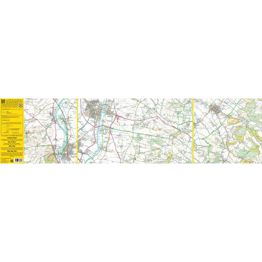
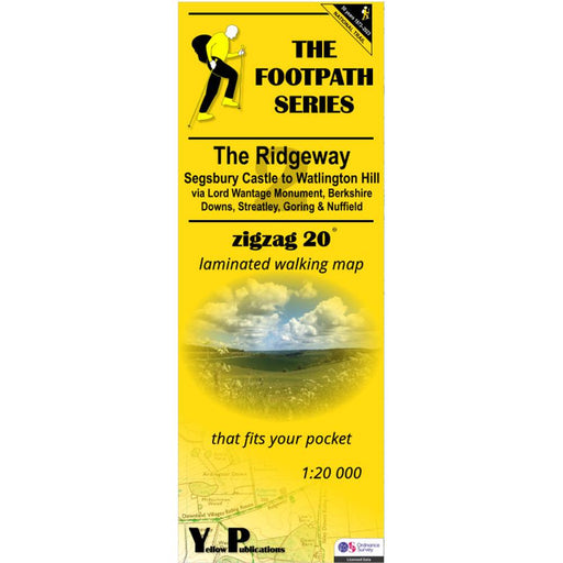
The Ridgeway Zigzag map - 2 - Segsbury Castle to Watlington Hill
£ 9.95This easy-to-read Zigzag map of The Ridgeway covers the section from Segsbury Castle to Watlington Hill via Lord Wantage Monument, Berkshire Downs,...
View full details£ 9.95 -
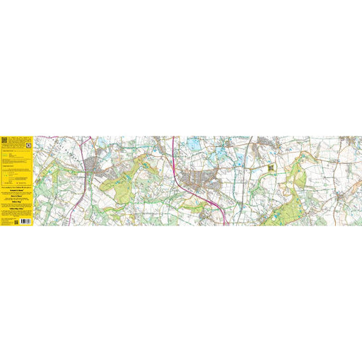
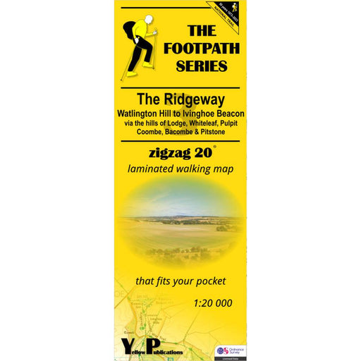
The Ridgeway Zigzag map - 3 - Watlington Hill to Ivinghoe Beacon
£ 9.95This easy-to-read Zigzag map of The Ridgeway covers the section from Watlington Hill to Ivinghoe Beacon via the hills of Lodge, Whiteleaf, Pulpit, ...
View full details£ 9.95 -

The Test Way Zigzag map - 1 - Inkpen Beacon to Chilbolton
£ 9.95Map 1 of the Test Way in Hampshire. This map covers the start of the trail from Inkpen Beacon to Chilbolton. The Test Way is a 44-mile long distanc...
View full details£ 9.95 -

The Test Way Zigzag map - 2 - Chilbolton to Eling Wharf
£ 9.95Map 2 of the Test Way in Hampshire. This map covers the second half of the trail from Chilbolton to the end at Eling Wharf near Southampton, via St...
View full details£ 9.95 -

The Two Moors Way Zigzag map - 1 - Ivybridge to Downs St Mary
£ 9.95Map 1 of the Two Moors Way. This map covers the first half of the trail from Ivybridge to Downs St Mary via Holme, Widdecombe, Chagford, Castle Dro...
View full details£ 9.95 -

The Two Moors Way Zigzag map - 2 - Downs St Mary to Lynmouth
£ 9.95Map 1 of the Two Moors Way. This map covers the first half of the trail from Ivybridge to Downs St Mary via Holme, Widdecombe, Chagford, Castle Dro...
View full details£ 9.95 -
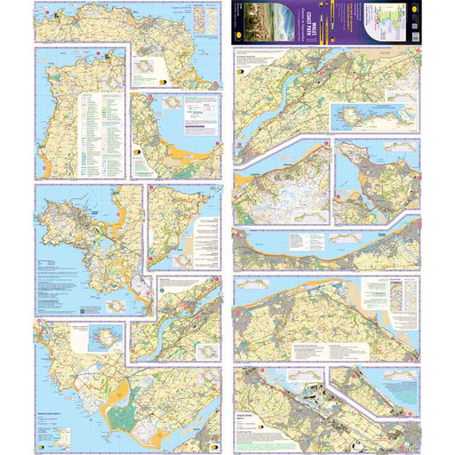
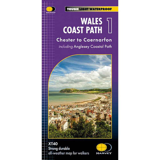
Wales Coast Path 1 - Chester to Caernarfon - Harvey map
£ 16.50The 1400km (870 mile) Wales Coast Path is a long distance trail following the entire coastline of Wales. This varied trail offers rugged and unspoi...
View full details£ 16.50 -
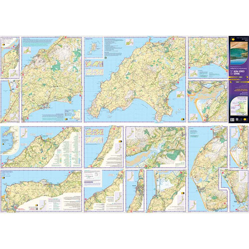
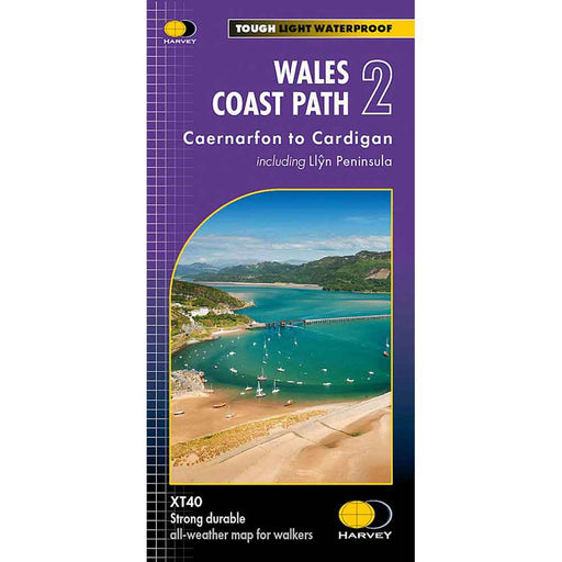
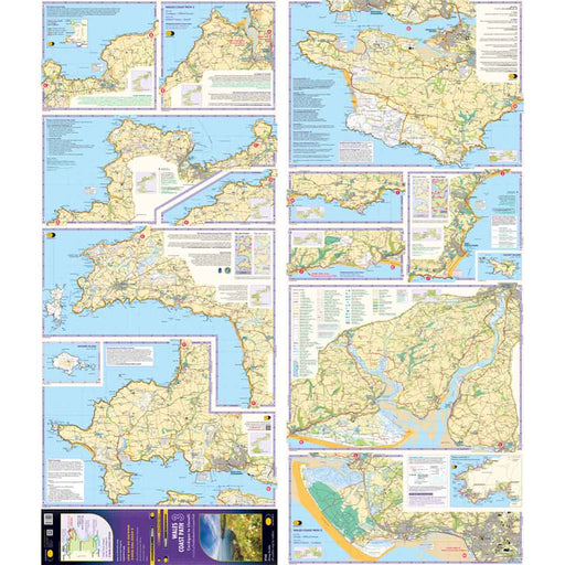
Wales Coast Path 2 -Caernarfon to Cardigan - Harvey map
£ 16.50The 1400km (870 mile) Wales Coast Path is a long distance trail following the entire coastline of Wales. This varied trail offers rugged and unspoi...
View full details£ 16.50 -
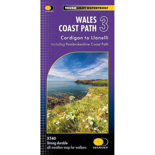
Wales Coast Path 3 - Cardigan to Llanelli & Pembrokeshire Coast Path - Harvey map
£ 16.50This map is the third of a series of 4 Harvey maps covering the whole of the Wales Coast Path. Each map covers a section of the Path suitable for a...
View full details£ 16.50 -
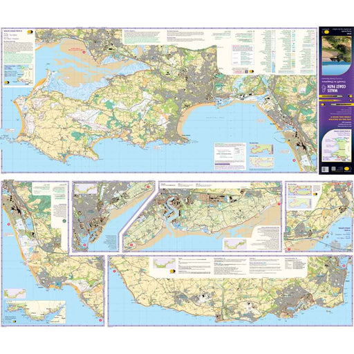
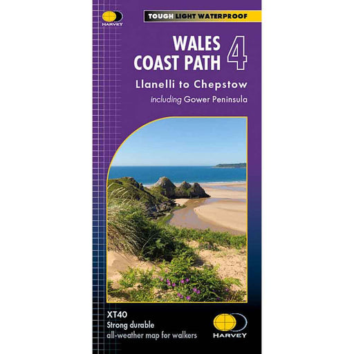
Wales Coast Path 4 - Llanelli to Chepstow - Harvey map
£ 17.50This map is the forth of a series of 4 Harvey maps covering the whole of the Wales Coast Path. Each map covers a section of the Path suitable for a...
View full details£ 17.50 -
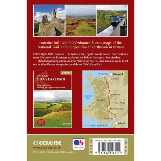
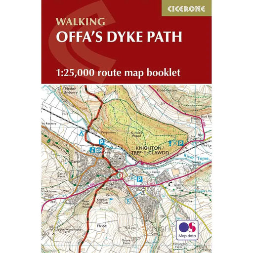
Walking Offa's Dyke Path map booklet
£ 12.95All the mapping you need to walk Offa's Dyke Path National Trail which runs for 177 miles along the English-Welsh border between Sedbury (near Chep...
View full details£ 12.95 -
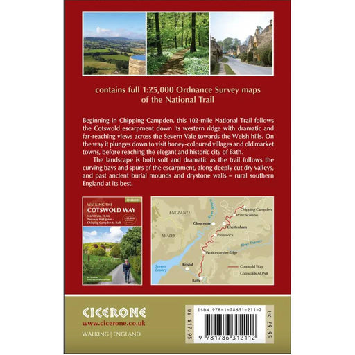
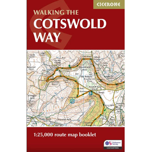
Walking the Cotswold Way map booklet
£ 9.95All the mapping you need to complete the 102 mile (163km) Cotswold Way National Trail, between Chipping Camden and Bath.This booklet, updated in 20...
View full details£ 9.95 -

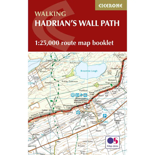
Walking the Hadrian's Wall Path map booklet
£ 12.95All the mapping you need to complete the 84 mile/135km length of the Hadrian's Wall between Bowness-on-Solway in the west and Wallsend in Newcastle...
View full details£ 12.95 -
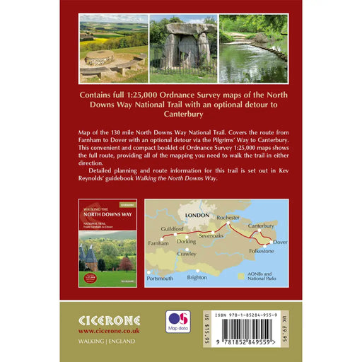
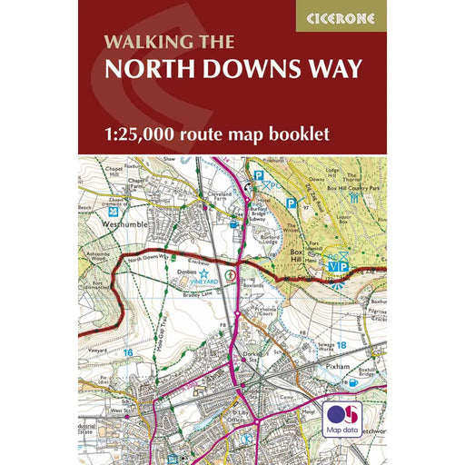
Walking the North Downs Way map booklet
£ 9.95The very best map to accompany you on your exploration of the North Downs Way. This pocket-sized map booklet gives clear Ordnance Survey 1:25,000 s...
View full details£ 9.95 -


Walking the Pembrokeshire Coast Path map booklet
£ 12.95All the mapping you need to complete the 180 mile/290km long-distance Pembrokeshire Coast Path National Trail from Amroth to St Dogmaels in Wales. ...
View full details£ 12.95 -


Walking the Pennine Way map booklet
£ 14.95The very best map to accompany you on your Pennine Way adventure. This pocket-sized map booklet comes in a waterproof cover and gives clear Ordnanc...
View full details£ 14.95 -
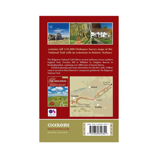
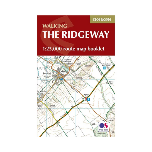
Walking The Ridgeway map booklet
£ 7.95All the mapping you need to walk The Ridgeway National Trail an 87-mile (139km) route through southern England from Avebury in Wiltshire to Ivingho...
View full details£ 7.95 -
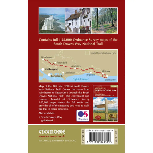
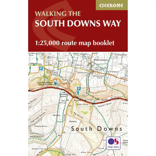
Walking the South Downs Way map booklet
£ 12.95All the mapping you need to complete the 100 mile (160km) South Downs Way National Trail, between Eastbourne and Winchester. With easy walking on a...
View full details£ 12.95 -

Yorkshire Wolds Way A-Z Adventure Atlas
£ 11.99We're delighted to see the 2026 edition of this very popular Yorkshire Wolds Way map. The previous version was fabulous, and this one is the same. ...
View full details£ 11.99 -
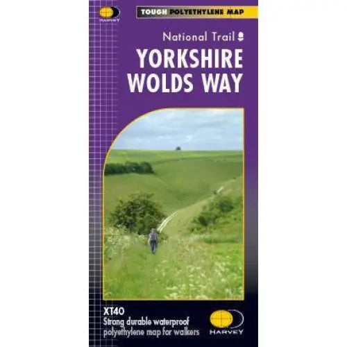
Yorkshire Wolds Way Harvey map
£ 16.50A tough, light, durable and 100% waterproof map of the Yorkshire Wolds Way National Trail. Entire National Trail route on one map. Includes Rights ...
View full details£ 16.50


