National Trails Maps UK
-
 Save 15%
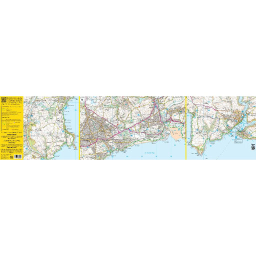
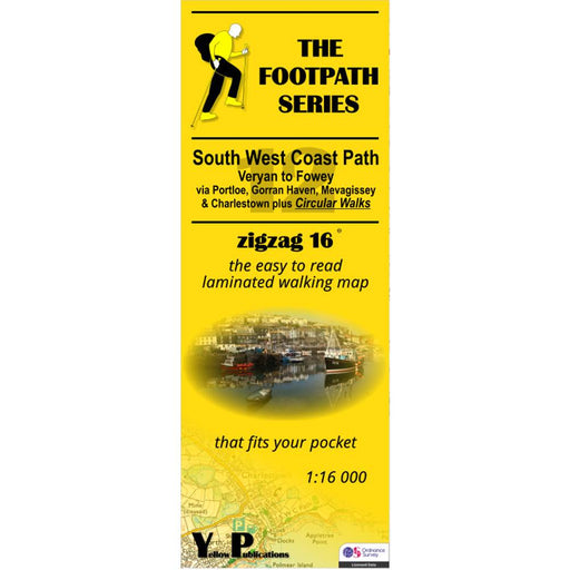
South West Coast Path Zigzag map - 12 - Veryan to Fowey
Original price £ 9.95Current price £ 8.50| /This South West Coast Path map covers the section between Veryan and Fowey via Portloe, Gorran Haven, Mevagissey and Charlestown. It also includes ...
View full detailsOriginal price £ 9.95Current price £ 8.50| /Save 15% -
 Save 15%
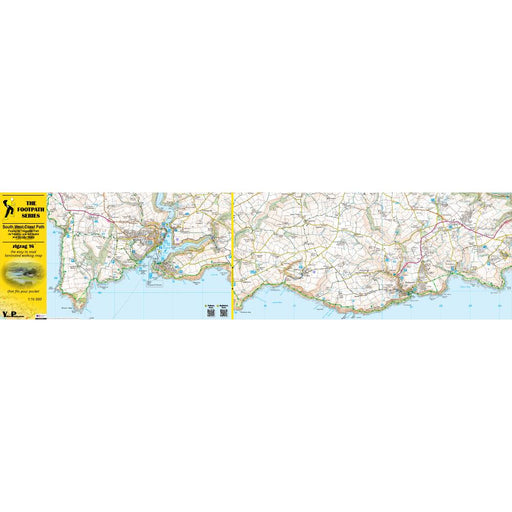
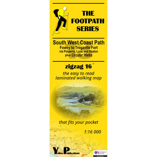
South West Coast Path Zigzag map - 13 - Fowey to Tregantle Fort
Original price £ 9.95Current price £ 8.50| /This South West Coast Path map covers the section between Fowey and Tregantle Fort via Polperro, Looe and Seaton. It also includes several circular...
View full detailsOriginal price £ 9.95Current price £ 8.50| /Save 15% -
 Save 15%
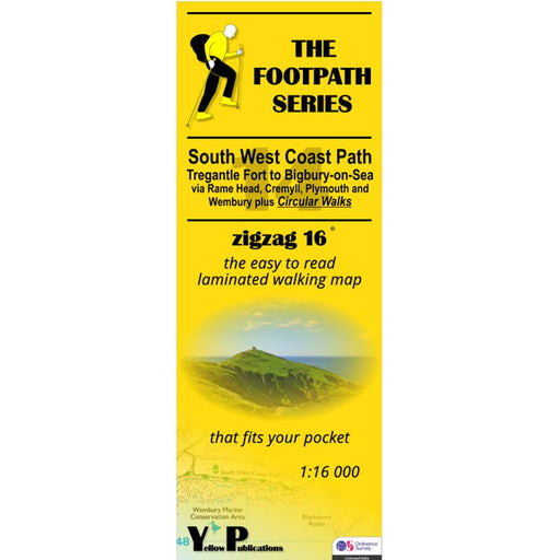
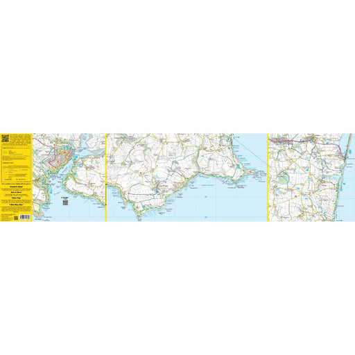
South West Coast Path Zigzag map - 14 - Tregantle Fort to Bigbury-on-Sea
Original price £ 9.95Current price £ 8.50| /This South West Coast Path map covers the section between Tregantle Fort and Bigbury-on-Sea via Rame Head, Cremyll, Plymouth and Wembury. It also i...
View full detailsOriginal price £ 9.95Current price £ 8.50| /Save 15% -
 Save 15%
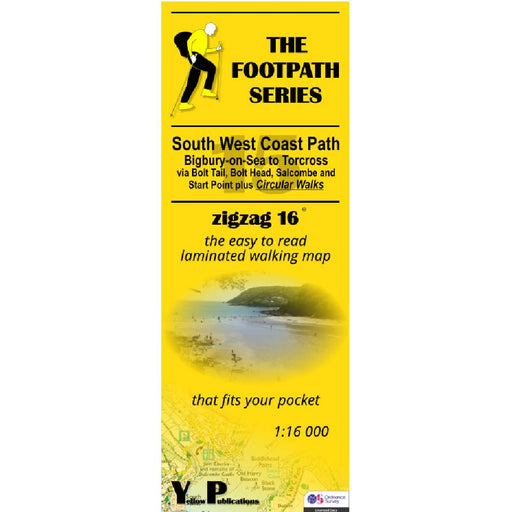
South West Coast Path Zigzag map - 15 - Bigbury-on-Sea to Torcross
Original price £ 9.95Current price £ 8.50| /This South West Coast Path map covers the section between Bigbury-on-Sea and Torcross via Bolt Tail, Bolt Head, Salcome and Start point. It also in...
View full detailsOriginal price £ 9.95Current price £ 8.50| /Save 15% -

 Sale
Sale
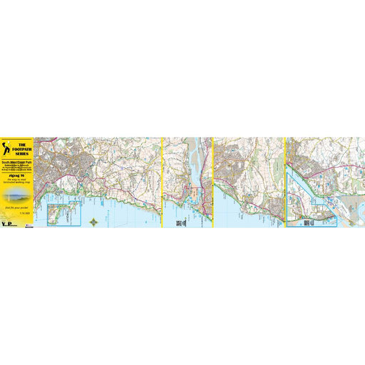
South West Coast Path Zigzag map - 16 - Torcross to Babbacombe
£ 9.95| /This South West Coast Path map covers the section between Torcross and Babbacombe via Dartmouth, Brixham, Paignton and Torquay. It also includes se...
View full details£ 9.95| /Sale -
 Save 15%
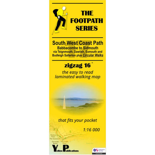
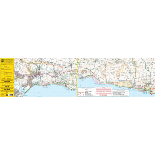
South West Coast Path Zigzag map - 17 - Babbacombe to Sidmouth
Original price £ 9.95Current price £ 8.50| /This South West Coast Path map covers the section between Babbacombe and Sidmouth via Teignmouth, Dawlish, Exmouth and Budleigh Salterton. It also ...
View full detailsOriginal price £ 9.95Current price £ 8.50| /Save 15% -

 Sale
Sale
South West Coast Path Zigzag map - 18 - Sidmouth to Seatown
£ 9.95| /This South West Coast Path map covers the section between Sidmouth and Seatown via Beer, Seaton, Axmouth, Lyme Regis and Charmouth. It also include...
View full details£ 9.95| /Sale -

 Sale
Sale
South West Coast Path Zigzag map - 19 - Seatown to Ferry Bridge
£ 9.95| /This South West Coast Path map covers the section between Seatown and Ferry Bridge via West Bay, Burton Bradstock and Abbotsbury. It also includes ...
View full details£ 9.95| /Sale -

 Sold out
South West Coast Path Zigzag map - 2 - Woody Bay to Saunton
£ 9.95| /This zigzag map covers the Woody Bay to Saunton section of the South West Coast Path, via Heddon's Mouth, Ilfracombe, Combe Martin and Mortenhoe. ...
View full details£ 9.95| /Sold out -
 Sold out
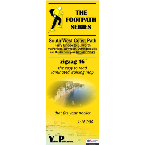
South West Coast Path Zigzag map - 20 - Ferry Bridge to Lulworth
Original price £ 9.95Current price £ 8.50| /This South West Coast Path map covers the section between Ferry Bridge and Lulworth via Portland, Weymouth, Osmington Mills and Durdle Door. It als...
View full detailsOriginal price £ 9.95Current price £ 8.50| /Sold out -

 Save 15%
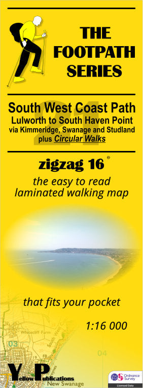
South West Coast Path Zigzag map - 21 - Lulworth to South Haven Point
Original price £ 9.95Current price £ 8.50| /This South West Coast Path map covers the section between Lulworth and South Haven Point via Kimmeridge, Swanage and Studland. It also includes sev...
View full detailsOriginal price £ 9.95Current price £ 8.50| /Save 15% -
 Save 15%
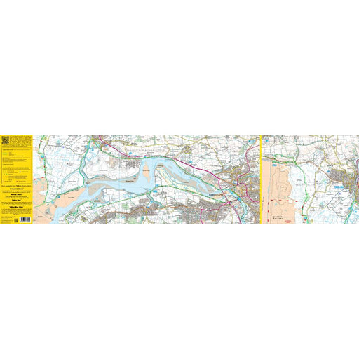
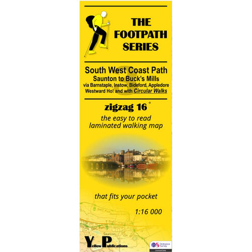
South West Coast Path Zigzag map - 3 - Saunton to Buck's Mills
Original price £ 9.95Current price £ 8.50| /This zigzag map covers the Saunton to Buck's Mills section of the South West Coast Path, via Barnstaple, Instow, Bideford, Appledore and Westwood H...
View full detailsOriginal price £ 9.95Current price £ 8.50| /Save 15% -
 Save 15%
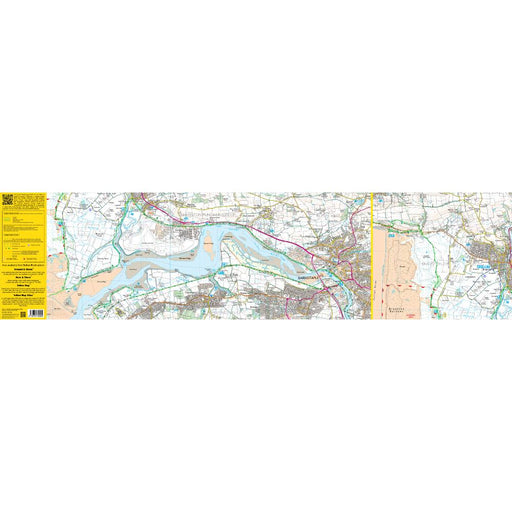
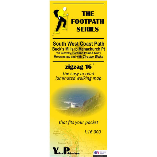
South West Coast Path Zigzag map - 4 - Buck's Mills to Menachurch Point
Original price £ 9.95Current price £ 8.50| /This zigzag map covers the Buck's Mills to Menachurch Point section of the South West Coast Path, via Clovelly, Hartland Point and Quay and Morwens...
View full detailsOriginal price £ 9.95Current price £ 8.50| /Save 15% -
 Save 15%
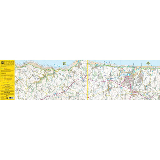
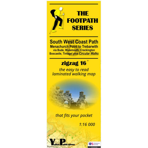
South West Coast Path Zigzag map - 5 - Menachurch Point to Trebarwith
Original price £ 9.95Current price £ 8.50| /This zigzag map covers the Menachurch Point to Trebarwith section of the South West Coast Path, via Bude, Widemouth, Crackington, Boscastle and Tin...
View full detailsOriginal price £ 9.95Current price £ 8.50| /Save 15% -
 Save 15%
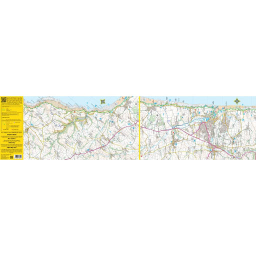
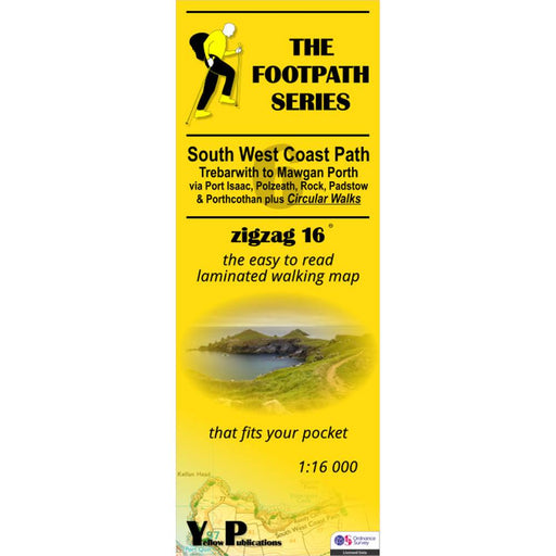
South West Coast Path Zigzag map - 6 - Trebarwith to Mawgan Porth
Original price £ 9.95Current price £ 8.50| /This zigzag map covers the Trebarwith to Mawgan Porth section of the South West Coast Path, via Port Isaac, Polzeath, Rock, Padstow and Porthcothan...
View full detailsOriginal price £ 9.95Current price £ 8.50| /Save 15% -
 Save 15%
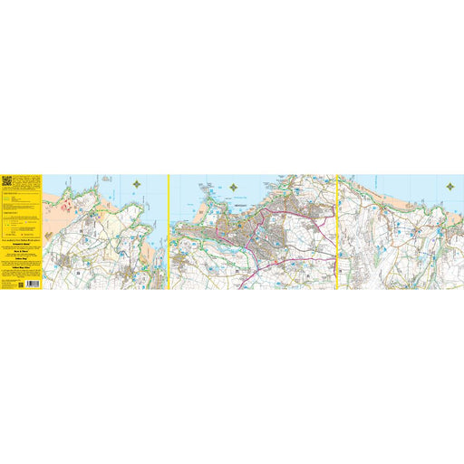
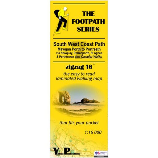
South West Coast Path Zigzag map - 7 - Mawgan Porth to Portreath
Original price £ 9.95Current price £ 8.50| /This zigzag map covers the Mawgan Porth to Portreath section of the South West Coast Path, via Newquay, Perranporth, St Agnes and Porthtowan. As we...
View full detailsOriginal price £ 9.95Current price £ 8.50| /Save 15% -
 Sale
Sale
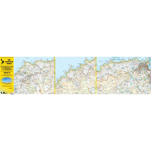
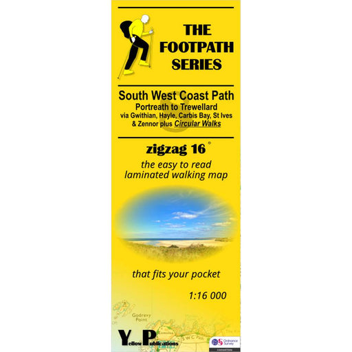
South West Coast Path Zigzag map - 8 - Portreath to Trewellard
£ 9.95| /This zigzag map covers the Portreath to Trewellard section of the South West Coast Path, via Gwithian, Hayle, Carbis Bay, St Ives and Zennor. As we...
View full details£ 9.95| /Sale -
 Save 15%
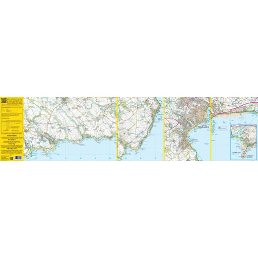
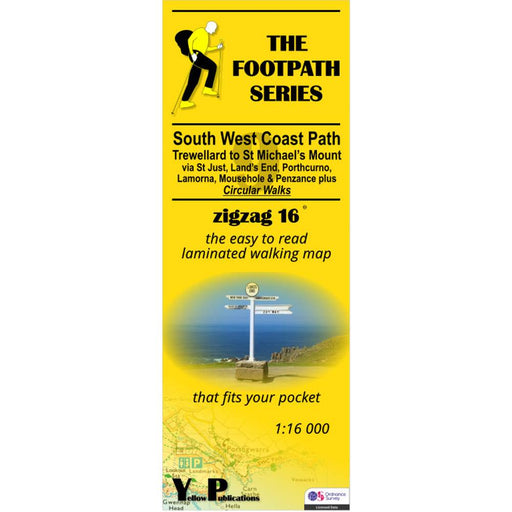
South West Coast Path Zigzag map - 9 - Trewellard to St Michael's Mount
Original price £ 9.95Current price £ 8.50| /This zigzag map covers the Trewellard to St Michael's Mount section of the South West Coast Path, via St Just, Land's End, Porthcorno, Lamorna, Mou...
View full detailsOriginal price £ 9.95Current price £ 8.50| /Save 15% -
 Sold out
Thames Path A-Z Adventure Atlas
£ 8.95| /This map is out of print - we don't know if the publisher intends to re-print. Instead, we recommend the Cicerone Press Thames Path map booklet. T...
View full details£ 8.95| /Sold out -
 Sale
Sale
Thames Path Harvey map
£ 15.95| /Tough, light and 100% waterproof. Detailed mapping with full legend. National Grid - can be used with GPS. 1:40,000 scale. Compact and light - hal...
View full details£ 15.95| /Sale -
 Sold out
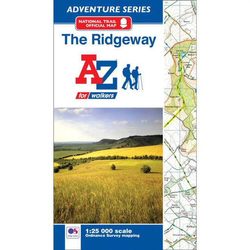
The Ridgeway A-Z Adventure Atlas
£ 8.95| /We're sorry but The Ridgeway A-Z Adventure Atlas is out of stock and is unlikely to be re-printed. We recommend the Sparky Guides Ridgeway booklet...
View full details£ 8.95| /Sold out -
 Sale
Sale
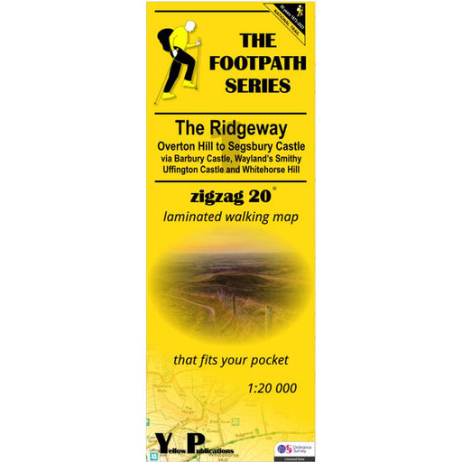
The Ridgeway Zigzag map - 1 - Overton Hill to Segsbury Castle
£ 9.95| /This easy-to-read Zigzag map of The Ridgeway covers the section from Overton Hill to Segsbury Castle, via Barbury Castle, Wayand's Smithy, Uffingto...
View full details£ 9.95| /Sale -
 Sale
Sale
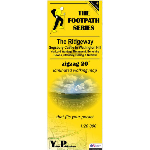
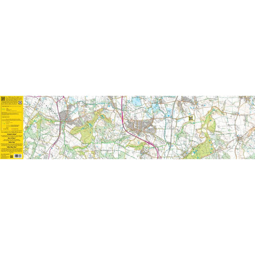
The Ridgeway Zigzag map - 2 - Segsbury Castle to Watlington Hill
£ 9.95| /This easy-to-read Zigzag map of The Ridgeway covers the section from Segsbury Castle to Watlington Hill via Lord Wantage Monument, Berkshire Downs,...
View full details£ 9.95| /Sale -
 Sale
Sale
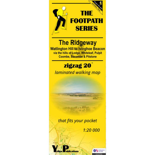
The Ridgeway Zigzag map - 3 - Watlington Hill to Ivinghoe Beacon
£ 9.95| /This easy-to-read Zigzag map of The Ridgeway covers the section from Watlington Hill to Ivinghoe Beacon via the hills of Lodge, Whiteleaf, Pulpit, ...
View full details£ 9.95| /Sale


