National Trails Maps UK
We have a large selection of National Trail maps available to help you stay on track while enjoying the beautiful views across the UK. The Footpath Series offer zigzag maps that provide a weatherproof, easy to read experience that fits conveniently into your pocket.
-
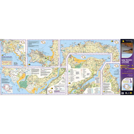
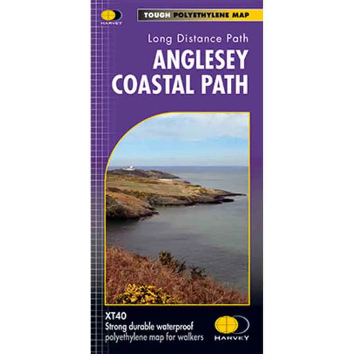
Anglesey Coastal Path Harvey map
£ 15.95This is a map covering the whole of the Anglesey Coast Path. It is everything you need to explore this amazing stretch of the Wales Coast Path. At ...
View full details£ 15.95 -
 Sold out
Cleveland Way A-Z Adventure Atlas
£ 8.95This map is out of print. We recommend the Cicerone Press Cleveland Way map booklet or the Cleveland Way Harvey map as an alternative. -----------...
View full details£ 8.95Sold out -
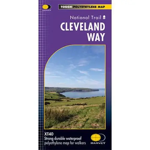
Cleveland Way National Trail Harvey map
£ 16.50Tough, light and 100% waterproof. Detailed mapping with full legend. National Grid - can be used with GPS. 1:40,000 scale. Compact and light - hal...
View full details£ 16.50 -
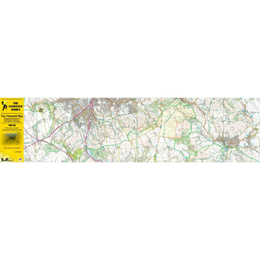
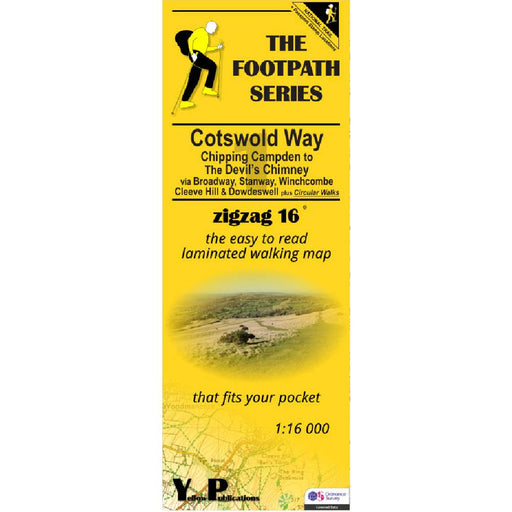
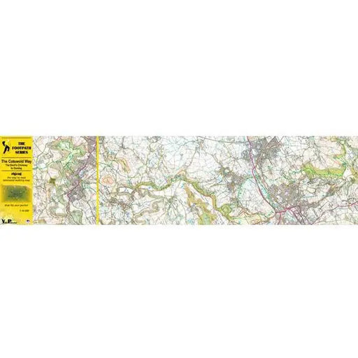
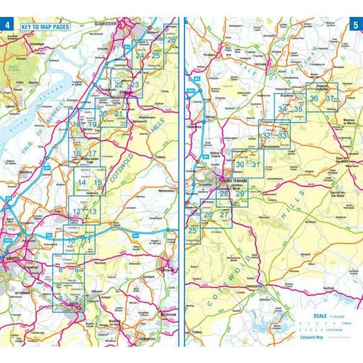
Cotswold Way 1 - Chipping Campden to The Devil's Chimney - Zigzag map
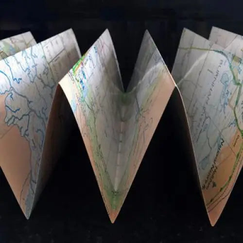
£ 9.95As their name suggests, Zigzag maps come in a concertina strip format and with 200cm of mapping, they can follow a long distance footpath at a scal...
View full details£ 9.95 -

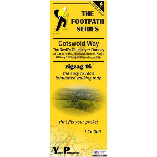
Cotswold Way 2 - The Devil's Chimney to Dursley - Zigzag map
£ 9.95As their name suggests, Zigzag maps come in a concertina strip format and with 200cm of mapping, they can follow a long distance footpath at a scal...
View full details£ 9.95 -

Cotswold Way 3 - Dursley to Bath - Zigzag map
£ 9.95As their name suggests, Zigzag maps come in a concertina strip format and with 200cm of mapping, they can follow a long distance footpath at a scal...
View full details£ 9.95 -
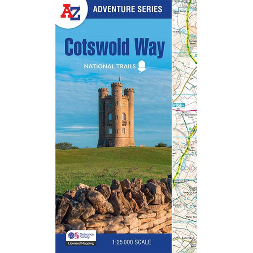
Cotswold Way A-Z Adventure Atlas - 2025 edition
£ 11.99New for 2025, this A-Z Adventure series map of the Cotswold Way uses 1:25k scale Ordnance Survey mapping in a convenient book format. Covering the...
View full details£ 11.99 -
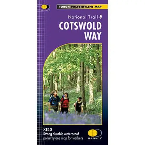
Cotswold Way Harvey map
£ 15.95This map is tough, light and 100% waterproof. Detailed mapping of the Cotswold Way with full legend. National Grid - can be used with GPS. 1:40,000...
View full details£ 15.95 -
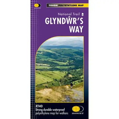
Glyndwr's Way Harvey map
£ 16.50Compact and light - the map itself weighs just 60gms - a third of the weight of a laminated map, and much less bulky. And you can fold or refold it...
View full details£ 16.50 -
 Sold out
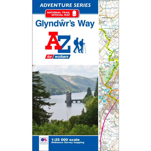
Glyndwr's Way Map - National Trail A-Z Map
£ 8.95This map is now out or print. We recommend the Glyndwr's Way Harvey Map as an alternative. ---------------------------------------------------- T...
View full details£ 8.95Sold out -


Hadrian's Wall Path 1 - Wallsend to Humshaugh
£ 9.95This Zigzag map covers the first section of Hadrian's Wall Path from Wallsend to Humshaugh via the Heddon-on-the-Wall, Harlow Hill and Halton Shiel...
View full details£ 9.95 -


Hadrian's Wall Path 2 - Humshaugh to Lanercost
£ 9.95This Zigzag map covers the second section of Hadrian's Wall Path from Humshaugh to Lanercost via Sycamore Gap and Thirlwall Castle including Houses...
View full details£ 9.95 -


Hadrian's Wall Path 3 - Lanercost to Bowness-on-Solway
£ 9.95This Zigzag map covers the second section of Hadrian's Wall Path from Humshaugh to Lanercost via Sycamore Gap and Thirlwall Castle including Houses...
View full details£ 9.95 -

Hadrian's Wall Path A-Z Adventure Atlas - 2026 edition
£ 11.95We're delighted to see a brand new 2026 edition of the ever-popular A-Z Adventure map for Hadrian's Wall Path. This handy map booklet shows the ent...
View full details£ 11.95 -
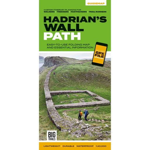
Hadrian's Wall Path Guidemap
£ 14.95This easy-to-use folding map from Vertebrate is unique in that it provides custom itinerary planning for walkers, trekkers, fastpackers and trail r...
View full details£ 14.95 -
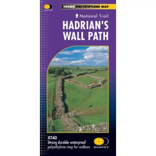
Hadrian's Wall Path Harvey map
£ 16.50Tough, light and 100% waterproof. Detailed mapping with full legend. National Grid - can be used with GPS. 1:40,000 scale. Compact and light - hal...
View full details£ 16.50 -

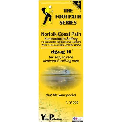
Norfolk Coast Path Zigzag map - 1 - Hunstanton to Stiffkey
£ 9.95As their name suggests, Zigzag maps come in a concertina strip format and with 200cm of mapping, they can follow a long distance footpath at a scal...
View full details£ 9.95 -


Norfolk Coast Path Zigzag map - 2 - Stiffkey to Overstrand
£ 9.95As their name suggests, Zigzag maps come in a concertina strip format and with 200cm of mapping, they can follow a long distance footpath at a scal...
View full details£ 9.95 -
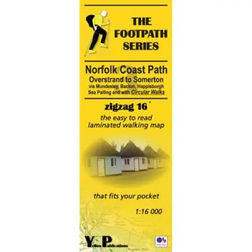
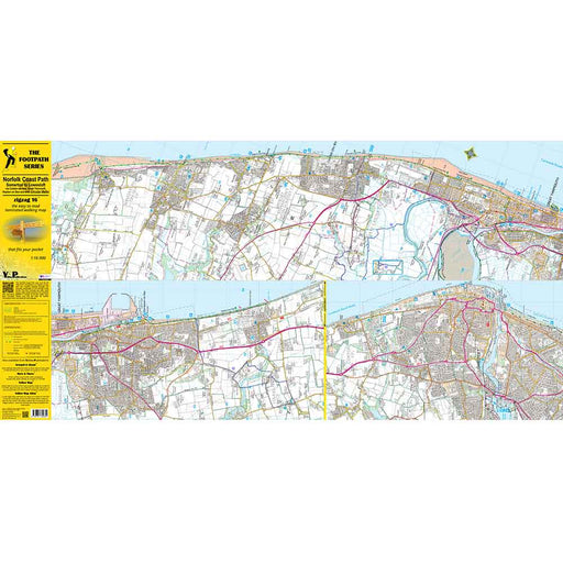
Norfolk Coast Path Zigzag map - 3 - Overstrand to Somerton
£ 9.95As their name suggests, Zigzag maps come in a concertina strip format and with 200cm of mapping, they can follow a long distance footpath at a scal...
View full details£ 9.95 -
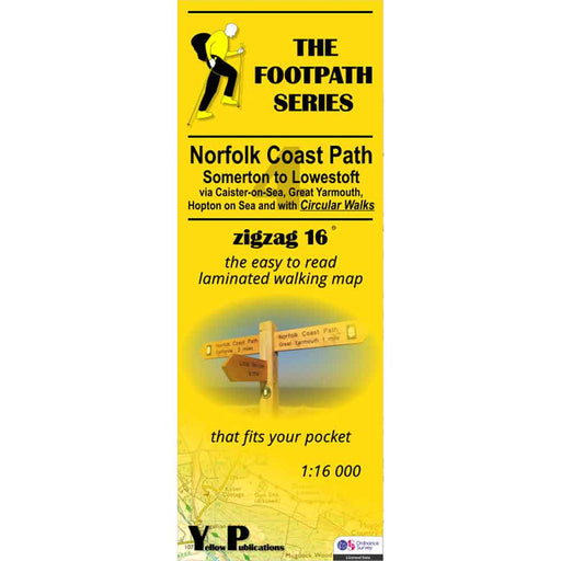
Norfolk Coast Path Zigzag map - 4 - Somerton to Lowestoft
£ 9.95As their name suggests, Zigzag maps come in a concertina strip format and with 200cm of mapping, they can follow a long distance footpath at a scal...
View full details£ 9.95 -


North Downs Way 1 - Zigzag map - Farnham to Dorking
£ 9.95This North Downs Way map covers the start of the trail, from Farnham to Dorking via Seale, Puttenham, St Martha's Hill, Netley Heath & Ranmore ...
View full details£ 9.95 -

North Downs Way 2 - Zigzag map - Dorking to Otford
£ 9.95This North Downs Way map covers the section from Dorking to Otford via Box Hill, Colley Hill, Merstham & Knockholt Pound. What is different ab...
View full details£ 9.95 -

North Downs Way 3 - Zigzag map - Otford to Detling
£ 9.95This North Downs Way map covers the section from Otford to Detling via Wrotham, Trosley Country Park, Cuxton, Burnham Down and Blue Bell Hill. Wha...
View full details£ 9.95 -

North Downs Way 4 - Zigzag map - Detling to Wye
£ 9.95This North Downs Way map covers the section from Detling to Wye via Hollingbourne, Charing Hill, Eastwell Park & Boughton Lees. What is differe...
View full details£ 9.95 -

North Downs Way 5 - Zigzag map - Wye to Dover
£ 9.95This North Downs Way map covers the section from Wye to Dover via Stowting, Folkestone White Horse, Dover Hill and the Battle of Britain Memorial. ...
View full details£ 9.95 -

North Downs Way 6 - Zigzag map - Wye to Dover - Canterbury Loop
£ 9.95This Zigzag map covers the Canterbury Loop of the North Downs Way from Wye to Dover via Chilham, Chartham Hatch, Canterbury & Shepherdswell. If...
View full details£ 9.95 -
 Sold out
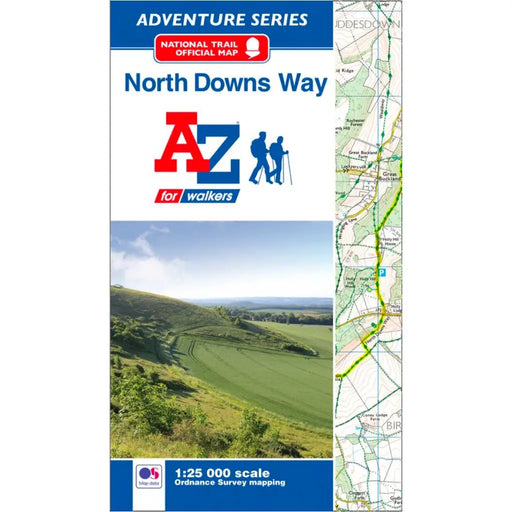
North Downs Way A-Z Adventure Atlas
£ 8.95This map is no longer available. We recommend the Cicerone North Downs Way map booklet or Harvey's North Downs Way map as alternatives. ----------...
View full details£ 8.95Sold out -
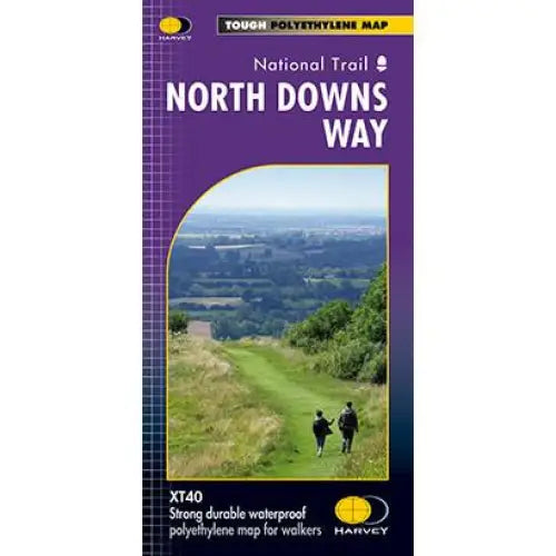
North Downs Way Harvey map
£ 15.95Compact and light - the map itself weighs just 60gms - a third of the weight of a laminated map, and much less bulky. And you can fold or refold it...
View full details£ 15.95 -
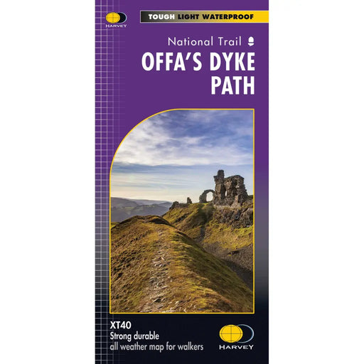
Offa's Dyke Path - Harvey map
£ 17.50The entire Offa's Dyke Path National Trail on one map. Tough, light and 100% waterproof. Detailed mapping with full legend. National Grid - can b...
View full details£ 17.50 -


Offa's Dyke Path 1 - Sedbury Cliffs to Twyn Llech - Zigzag map
£ 9.95As their name suggests, Zigzag maps come in a concertina strip format. The maps are made for convenience; you need only unfold 2 panels at a time a...
View full details£ 9.95 -


Offa's Dyke Path 2 - Zigzag map - Twyn Llech to Newcastle-on-Clun
£ 9.95As their name suggests, Zigzag maps come in a concertina strip format. The maps are made for convenience; you need only unfold 2 panels at a time a...
View full details£ 9.95 -
 Save 15%
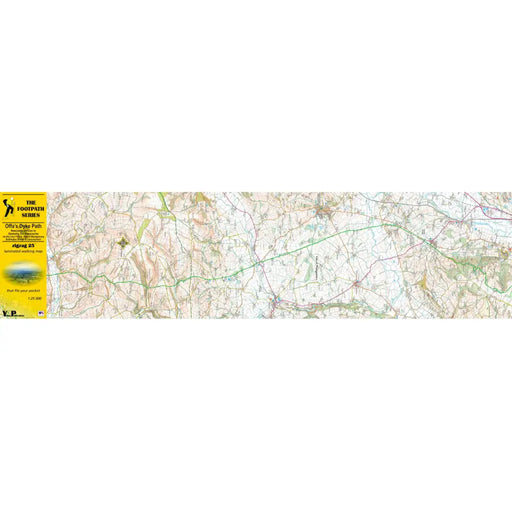
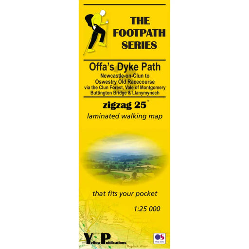
Offa's Dyke Path 3 - Newcastle-on-Clun to Oswestry Old Racecourse - Zigzag map
Original price £ 9.95Current price £ 8.50As their name suggests, Zigzag maps come in a concertina strip format. The maps are made for convenience; you need only unfold 2 panels at a time a...
View full detailsOriginal price £ 9.95Current price £ 8.50Save 15% -


Offa's Dyke Path 4 - Oswestry Old Racecourse to Prestatyn- Zigzag map
£ 9.95As their name suggests, Zigzag maps come in a concertina strip format. The maps are made for convenience; you need only unfold 2 panels at a time a...
View full details£ 9.95 -
 Sold out
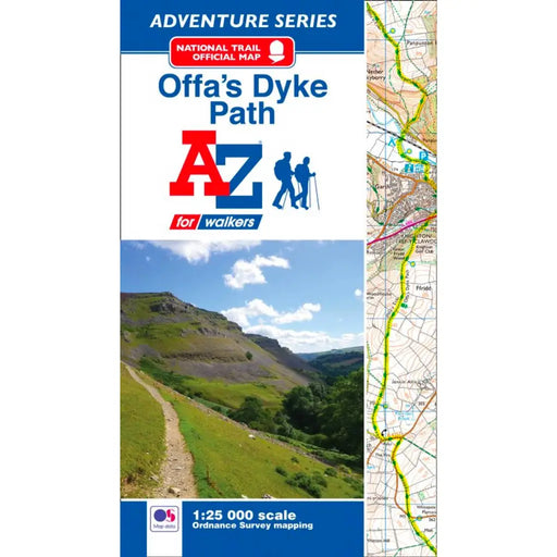
Offa's Dyke Path A-Z Adventure Atlas
£ 8.95We're sorry but the Offa's Dyke Path A-Z Adventure Atlas is out of stock and is unlikely to be re-printed. Please browse our other maps and guides...
View full details£ 8.95Sold out -

Peddars Way & Norfolk Coast Path A-Z Adventure Atlas
£ 11.99The 2025 A-Z Adventure series features the accuracy and quality of the 25k OS Explorer mapping in a convenient book, complete with index. This A-Z ...
View full details£ 11.99 -
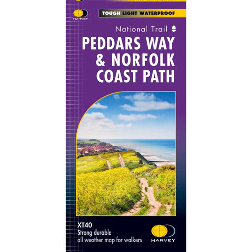
Peddars Way & Norfolk Coast Path Harvey map
£ 15.95Tough, light and 100% waterproof. Detailed mapping with full legend. Compact and light - half the weight of a laminated map, and much less bulky. ...
View full details£ 15.95 -
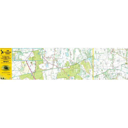
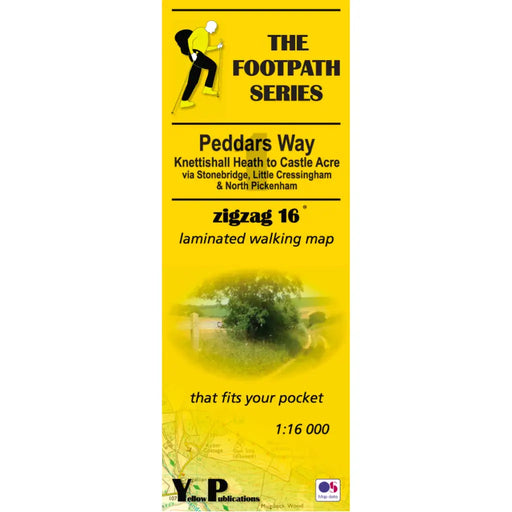
Peddars Way 1 - Knettishall Heath to Castle Acre - Zigzag map
£ 9.95As their name suggests, Zigzag maps come in a concertina strip format and with 200cm of mapping, they can follow a long distance footpath at a scal...
View full details£ 9.95 -


Peddars Way 2 - Castle Acre to Holme next the Sea - Zigzag map
£ 9.95As their name suggests, Zigzag maps come in a concertina strip format and with 200cm of mapping, they can follow a long distance footpath at a scal...
View full details£ 9.95 -

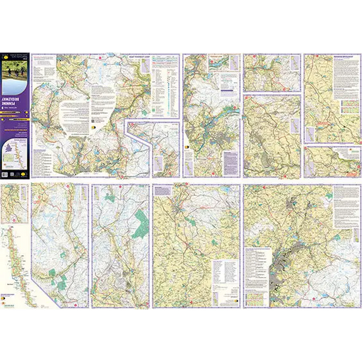
Pembrokeshire Coast Path A-Z Adventure Atlas 2025 edition
£ 11.99This 2025 edition of the A-Z Adventure Atlas of the Pembrokeshire Coast Path features 1:25,000 Ordnance Survey scale mapping covering the 186 mile ...
View full details£ 11.99 -
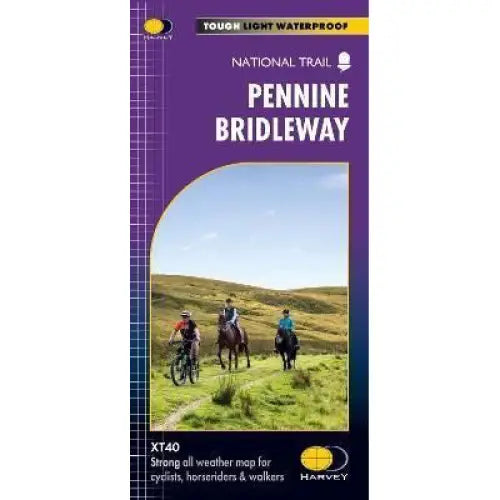
Pennine Bridleway Harvey map
£ 17.50This map, published in 2021, covers the whole 205 mile Pennine Bridleway National Trail from Middleton Top in Derbyshire to Ravenstonedale in Cumbr...
View full details£ 17.50 -
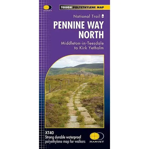
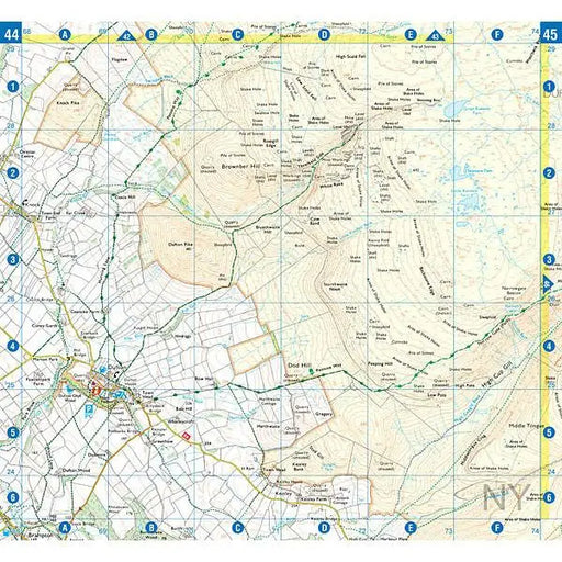
Pennine Way (North) - Harvey map - Middleton-in-Teesdale to Kirk Yetholm
£ 17.50This Harvey map of the Pennine Way covers the northern section of the Trail from Middleton-in-Teesdale to Kirk Yetholm. Please note, the new Harvey...
View full details£ 17.50 -
 Sold out
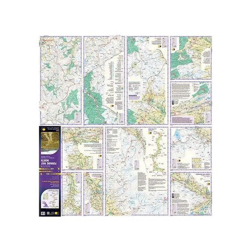
Pennine Way (North) A-Z Adventure Atlas
£ 8.95This map is out of print. We don't know if the publisher is going to reprint. We recommend the Cicerone Press Pennine Way map booklet as an alterna...
View full details£ 8.95Sold out -
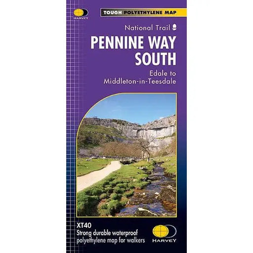
Pennine Way (South) - Harvey map - Edale to Middleton-in-Teesdale
£ 17.50This Harvey map of the Pennine Way covers the southern section of the Trail from Edale to Middleton-in-Teesdale. Tough, light, durable and 100% wa...
View full details£ 17.50 -
 Sold out
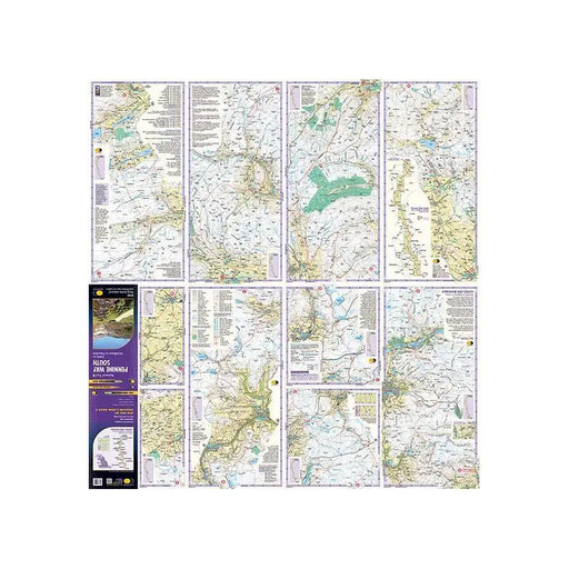
Pennine Way (South) A-Z Adventure Atlas
£ 8.95This map is out of print - take a look at the Harvey Map Pennine Way South or the Cicerone Press Pennine Way map booklet as an alternative.
£ 8.95Sold out -
 Save 15%
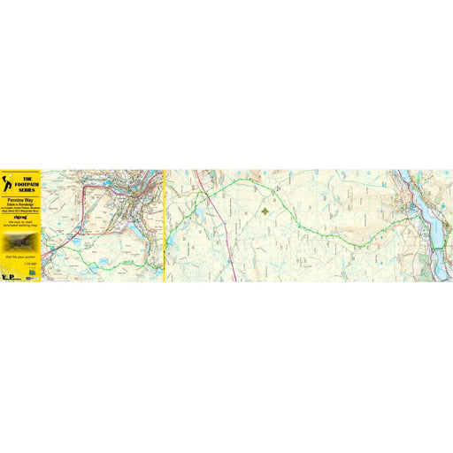
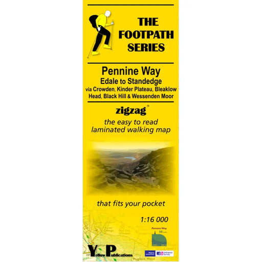
Pennine Way 1 - Zigzag map - Edale to Standedge
Original price £ 9.95Current price £ 8.50This Pennine Way map covers the section between Edale and Standedge via Crowden, Kinder Plateau, Bleaklow Head, Black Hill and Wessenden Moor. What...
View full detailsOriginal price £ 9.95Current price £ 8.50Save 15% -

 Save 15%
Pennine Way 2 - Standedge to Ickornshaw - Zigzag map
Original price £ 9.95Current price £ 8.50This Pennine Way map covers the section between Standedge and Ickornshaw via Blackstone Edge, Stoodly Pike, Calderdale and Ickornshaw Moor. What i...
View full detailsOriginal price £ 9.95Current price £ 8.50Save 15% -

 Save 15%
Pennine Way 3 - Ickornshaw to Horton in Ribblesdale- Zigzag map
Original price £ 9.95Current price £ 8.50This Pennine Way map covers the southern Yorkshire Dales section between Ickornshaw and Horton in Ribblesdale via Gargrave, Malham and Pen-y-Ghent ...
View full detailsOriginal price £ 9.95Current price £ 8.50Save 15% -

 Save 15%
Pennine Way 4 - Horton in Ribblesdale to Keld - Zigzag map
Original price £ 9.95Current price £ 8.50This Pennine Way map covers the mid-Yorkshire Dales section between Horton in Ribblesdale and Keld via Hawes, Wensleydale, Great Shunner fell and S...
View full detailsOriginal price £ 9.95Current price £ 8.50Save 15%


