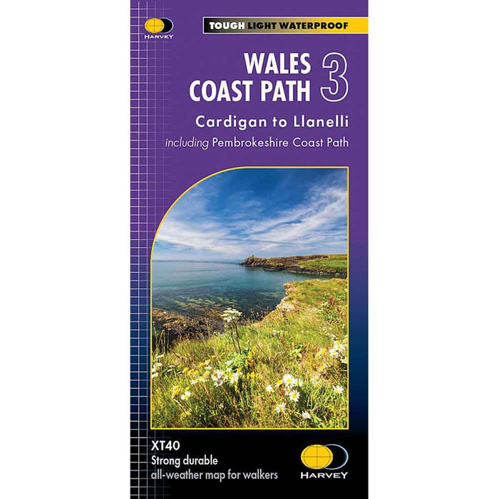
Wales Coast Path 3 - Cardigan to Llanelli & Pembrokeshire Coast Path - Harvey map
This map is the third of a series of 4 Harvey maps covering the whole of the Wales Coast Path. Each map covers a section of the Path suitable for about 2 weeks of walking.
Map 3 covers the Wales Coast Path from Cardigan to Llanelli, and includes the whole of the Pembrokeshire Coast Path National Trail (St Dogmaels to Amroth).
The Pembrokeshire Coast Path remains a National Trail in its own right, and this map covers the entirety of this route as well as the Wales Coast Path further east to Llanelli. You will walk through some of the most beautiful parts of Wales, encountering stunning clifftop scenery, sandy beaches and rugged coastline.
The 1400km (870 mile) Wales Coast Path is a long distance trail following the entire coastline of Wales. This varied trail offers rugged and unspoilt walking, colourful seaside villages, industrial archaeology, clifftops, beaches and unique heritage sites.
Harvey Maps are robust, long lasting and waterproof. designed for outdoor enthusiasts they have the essential information to make navigating in the countryside easy.
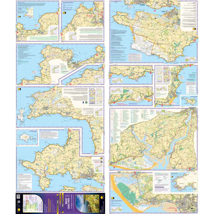
Compact and light - the map itself weighs just 50gms - a third of the weight of a laminated map, and much less bulky. And you can fold or refold it time and again, or stuff it in your back pocket and it won't fall to pieces. Shows the entire route on one sheet.
The map is arranged in panels so that at any one time you only have to have the part you need open. It is supplied folded in a plastic pocket. The map shows the detail you need for navigation. There is a full key and scale bar.
Information on planning your trip, accommodation, useful telephone numbers and websites, travel and tips are all included.
Scale 1:40,000
Published 2022
Supplied in clear plastic pocket.