Trail maps and guidebooks
Get 20% off everything in this collection until midnight on Sunday 4 June 2023 to celebrate #NationalTrailsDay. Discount will be applied at checkout.
-
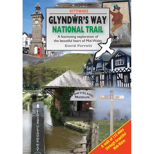
Glyndwr's Way National Trail - guidebook by Kittiwake
£ 9.95This guidebook to Glyndwr's Way National Trail contains everything you need to know to enjoy this amazing trail through some of the finest scenery ...
View full details£ 9.95 -
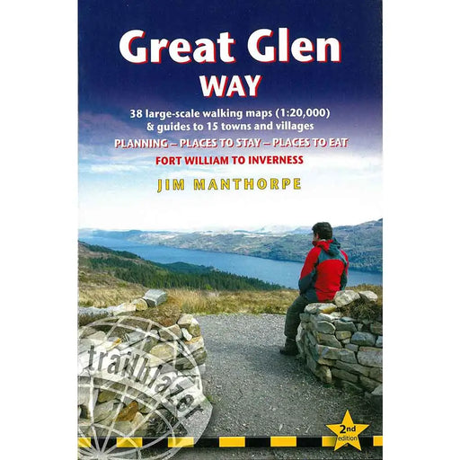
Great Glen Way
£ 12.99This is the second edition of Trailblazer's guidebook with maps of the Great Glen Way, a relatively easy week-long walk amongst beautiful Highland ...
View full details£ 12.99 -
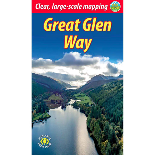
Great Glen Way
£ 13.99Fully revised in 2019-20 after extensive fieldwork this guidebook includes new large-scale mapping (1:38,000) with mileage markers and a kilometre ...
View full details£ 13.99 -

Great Glen Way Harvey map
£ 14.50One of Scotland’s Great Trails, the Great Glen Way is 117km (73 miles) long, from Fort William to Inverness via Fort Augustus. It passes along the ...
View full details£ 14.50 -

Great Glen Way map booklet
£ 9.95A map booklet featuring 1:25,000 scale Ordnance Survey mapping, covering the Great Glen Way, a 79-mile trail along the Caledonia Canal from Fort Wi...
View full details£ 9.95 -
 Sold out
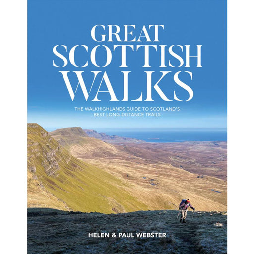
Great Scottish Walks
£ 20.00This beautiful book is sure to inspire you to set off on one of Scotland's great walks. Describing the 26 best long distance routes in Scotland in...
View full details£ 20.00Sold out -
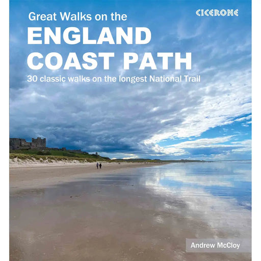
Great Walks on the England Coast Path
£ 20.00This is a truly gorgeous book of 30 walks on the England Coast Path. Written by well-respected author Andrew McCloy it includes full details of 30 ...
View full details£ 20.00 -
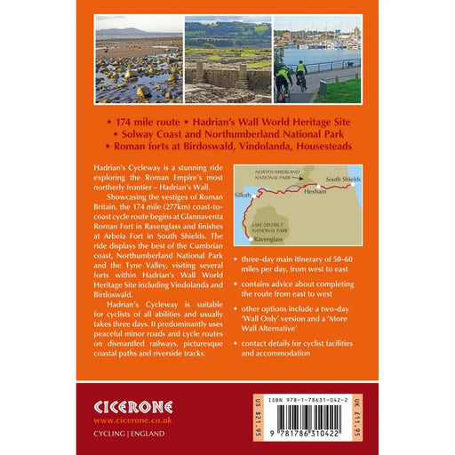
Hadrian's Cycleway
£ 14.95This full-colour guidebook contains a wealth of information on the history of the Wall, and a range of practical information for walkers, from acco...
View full details£ 14.95 -
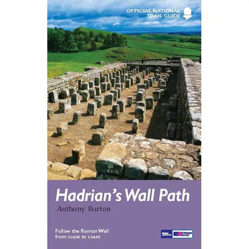
Hadrian's Wall Path
£ 14.99The official guidebook by Anthony Burton includes colour extracts from the Ordnance Survey's Explorer series at 1:25,000 showing points along the r...
View full details£ 14.99 -


Hadrian's Wall Path - Sparky Walking Guides
£ 16.99New for 2026 this guide to Hadrian's Wall Path produced by Sparky Walking Guides offers a refreshing new approach to a trail guide. With quality m...
View full details£ 16.99 -


Hadrian's Wall Path 1 - Wallsend to Humshaugh
£ 9.95This Zigzag map covers the first section of Hadrian's Wall Path from Wallsend to Humshaugh via the Heddon-on-the-Wall, Harlow Hill and Halton Shiel...
View full details£ 9.95 -


Hadrian's Wall Path 2 - Humshaugh to Lanercost
£ 9.95This Zigzag map covers the second section of Hadrian's Wall Path from Humshaugh to Lanercost via Sycamore Gap and Thirlwall Castle including Houses...
View full details£ 9.95 -


Hadrian's Wall Path 3 - Lanercost to Bowness-on-Solway
£ 9.95This Zigzag map covers the second section of Hadrian's Wall Path from Humshaugh to Lanercost via Sycamore Gap and Thirlwall Castle including Houses...
View full details£ 9.95 -
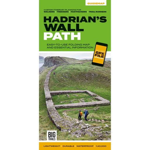
Hadrian's Wall Path Guidemap
£ 14.95This easy-to-use folding map from Vertebrate is unique in that it provides custom itinerary planning for walkers, trekkers, fastpackers and trail r...
View full details£ 14.95 -
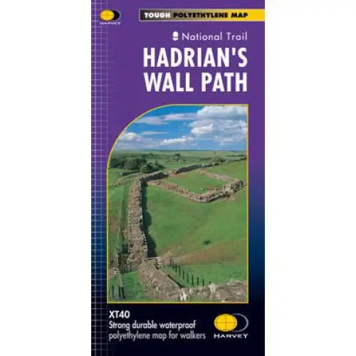
Hadrian's Wall Path Harvey map
£ 16.50Tough, light and 100% waterproof. Detailed mapping with full legend. National Grid - can be used with GPS. 1:40,000 scale. Compact and light - hal...
View full details£ 16.50 -


Hadrian's Wall Path Rucksack Reader
£ 16.99This guidebook from Rucksack Readers contains all you need to plan and enjoy Hadrian’s Wall Path. The second edition, published in 2025 is in a sta...
View full details£ 16.99 -


Hadrian's Wall Path: Wallsend to Bowness-on-Solway - Trailblazer
£ 15.99New, updated, two-way Hadrian's Wall Path guidebook re-researched in both directions: Bowness to Newcastle and Newcastle to Bowness. Route descript...
View full details£ 15.99 -
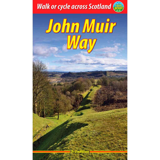
John Muir Way
£ 16.99This is the 3rd edition of the Rucksack Reader's John Muir Way guidebook, published in 2023. This rainproof guide contains all you need to plan and...
View full details£ 16.99 -
 Sold out
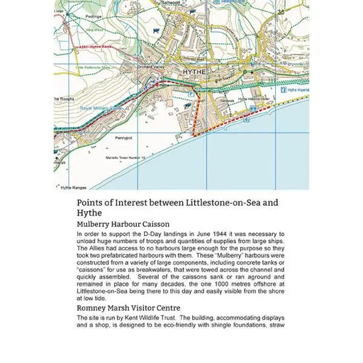
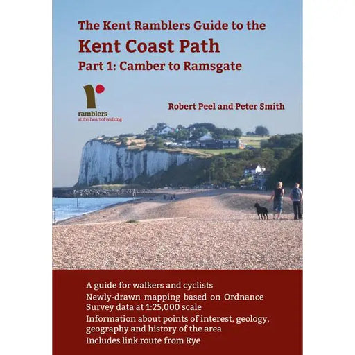
Kent Coast Path: Part 1: Camber to Ramsgate
£ 7.50This book is out of print. A new edition is due in July 2026. This 80 page guide by Robert Peel and Peter Smith covers the first section of the Eng...
View full details£ 7.50Sold out -


King Charles III England Coast Path North West - Cumbria map booklet
£ 12.95Map booklet covering the King Charles III England Coast Path in Cumbria (North West coast). Using the ever-popular Ordnance Survey 1:25,000 scale ...
View full details£ 12.95 -


King Charles III England Coast Path North West - Lancashire & Merseyside map booklet
£ 12.95Map booklet covering the King Charles III England Coast Path in Lancashire and Merseyside (North West coast). Using the ever-popular Ordnance Surv...
View full details£ 12.95 -

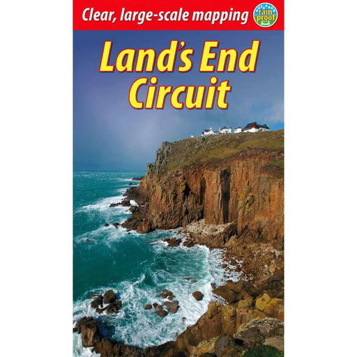
Land’s End Circuit
£ 12.99This selected Cornish section of the South West Coast Path runs for 42 miles from St Ives to Penzance. It provides a superb week’s-worth of walking...
View full details£ 12.99 -

Loch Ness walking map - North Bank - Zigzag map
£ 9.95This Zigzag walking map covers the North Bank of Loch Ness via Fort Augustus, Invermoriston & Drumnadrochit. Walking along the north bank of Lo...
View full details£ 9.95 -

Loch Ness walking map - South Bank - Zigzag map
£ 9.95This Zigzag walking map covers the South Bank of Loch Ness, the South Loch Ness Trail via Fort Augustus, Foyers, Inverfarigaig and Dores. The 36 mi...
View full details£ 9.95


