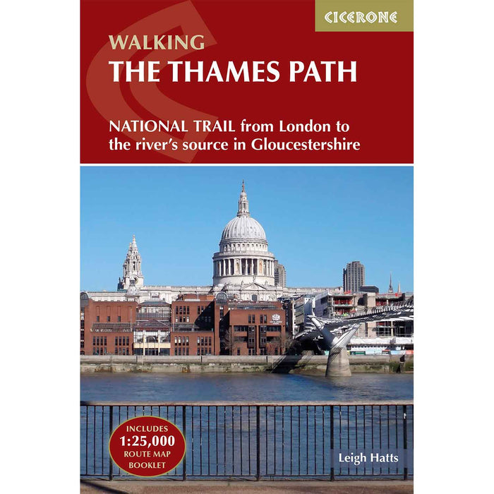
Walking the Thames Path - guidebook with map
Complete with a separate map booklet featuring Ordnance Survey 1:25,000 scale mapping this excellent guidebook gives you everything you need to enjoy the Thames Path National Trail.
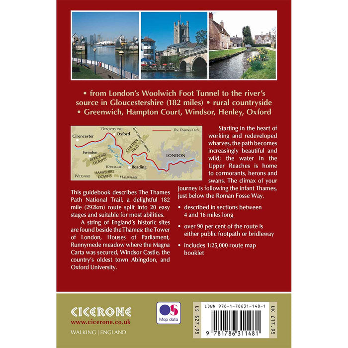
The Thames Path is a 180-mile National Trail from the Thames Barrier to the river's source in near Cirencester, passing from central London through Windsor, Henley, and Oxford, and rural countryside.
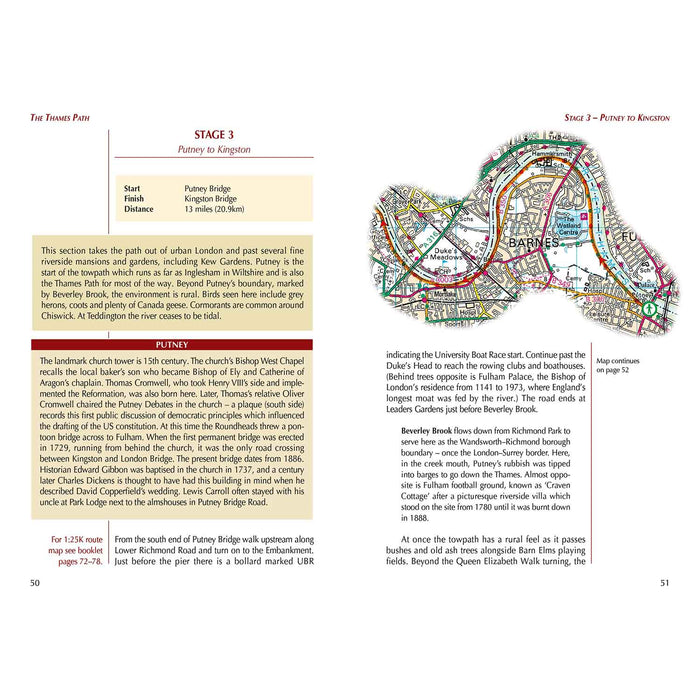
Described in 20 sections, of between 4 and 16 miles (6.5–32km), it is a mainly flat route with good access by public transport and typically takes two weeks to walk. On its way, it passes historic sites such as Greenwich, Kew Gardens, Hampton Court, Runnymede, Windsor Castle, and Oxford.
This Thames Path National Trail guidebook features complete OS 1:50,000 scale mapping of the route and comprehensive information concerning accommodation, facilities and transport links along the route.
A separate pocket-sized map booklet of the Thames Path is included showing the full route on 1:25,000 scale OS maps, providing all the mapping needed to complete the trail in a compact and convenient form. It is crammed with fascinating details about the places and features passed along the way.
Dimensions: 172mm x 116mm x 13mm, 380g
4th edition - updated 2025