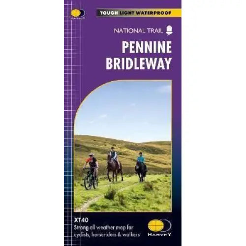
Pennine Bridleway Harvey map
£ 17.50
This map, published in 2021, covers the whole 205 mile Pennine Bridleway National Trail from Middleton Top in Derbyshire to Ravenstonedale in Cumbria. It includes the 47 mile (75km) Mary Towneley Loop.
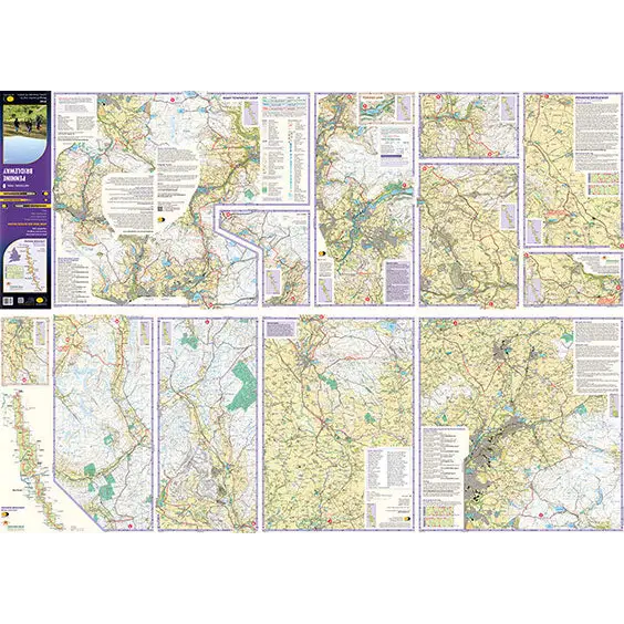
The Pennine Bridleway is designed for use by horse riders and cyclists but can also be used by walkers. The map gives useful information on accommodation, planning, horsebox parking, places to visit, etc. It also highlights sections of the Trail where equestrians need to take extra care, for example, steep sections and busy road crossings. As with all Harvey Maps it is fully waterproof.
The Pennine Bridleway is designed for use by horse riders and cyclists but can also be used by walkers. The map gives useful information on accommodation, planning, horsebox parking, places to visit, etc. It also highlights sections of the Trail where equestrians need to take extra care, for example, steep sections and busy road crossings. As with all Harvey Maps it is fully waterproof.
- Tough, light, durable and 100% waterproof
- Includes Rights of Way
- Genuine original HARVEY mapping
- Route clearly marked
- Scale: 1:40,000
- Ratio: 2.5cm = 1km
- Flat size: 972 x 700mm
- Folded size: 116 x 243mm
- Weight: 60gms
- Single sided
- Format: strip map
Published 2021