Pembrokeshire Coast Path A-Z Adventure Atlas 2025 edition
£ 11.99
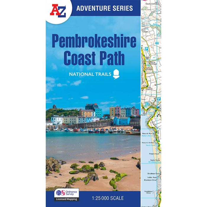
This 2025 edition of the A-Z Adventure Atlas of the Pembrokeshire Coast Path features 1:25,000 Ordnance Survey scale mapping covering the 186 mile route of this stunning National Trail in Wales. With clear mapping and the trail highlighted in yellow it's a must for anyone exploring the wonderful Pembrokeshire Coast Path.
Covering the entire Pembrokeshire Coast Path this is an essential map for anyone tackling this popular National Trail. The handy route planner provides information on the distances between places and the amenities available including:
- Information Centres
- Hotels/B&Bs
- Youth Hostels
- Campsites
- Restaurants
- Public Houses
- Cafes
- Shops
- Petrol Stations
Please note - the 2024 edition did not use Ordnance Survey mapping - the 2025 edition has gone back to using the walkers' favourite OS 1:25 scale mapping.
Published by Harper Collins in 2025