North West England
-
 Sale
Sale
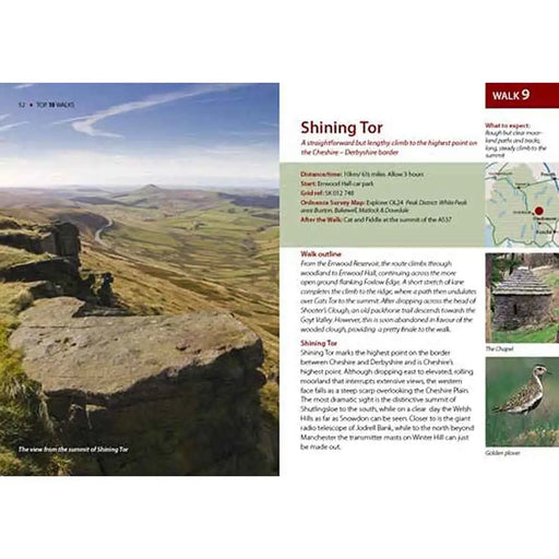
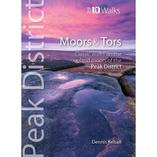
Top 10 Walks - Moors and Tors in the Peak District
£ 6.99| /This attractive pocket size book gives you the ten very best walks on moors and to tors in the Peak District National Park. With clear information...
View full details£ 6.99| /Sale -
 Sale
Sale
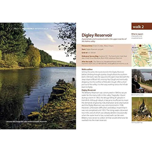
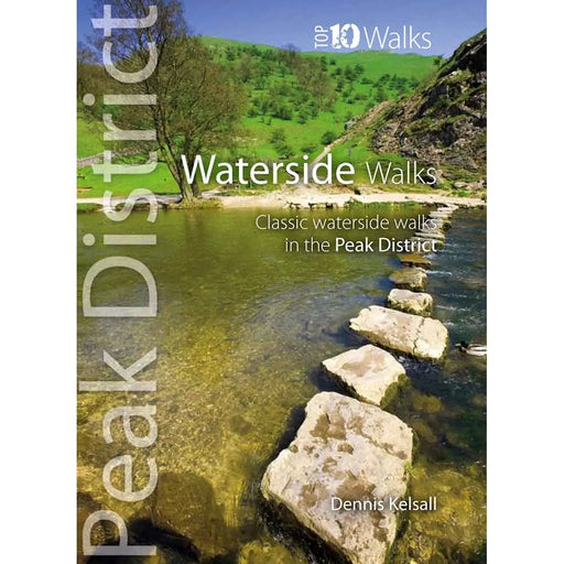
Top 10 Walks - Waterside Walks in the Peak District
£ 6.99| /This attractive pocket size book gives you the ten very best walks alongside water in the Peak District National Park. With clear information, an ...
View full details£ 6.99| /Sale -
 Sale
Sale
Top 10 Walks - The Lake District
£ 6.99| /This attractive, pocket size book explores ten short circular routes that are the finest themed routes in the Lake District National Park. Featu...
View full details£ 6.99| /Sale -
 Sale
Sale
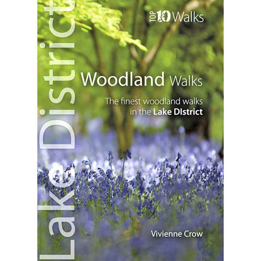
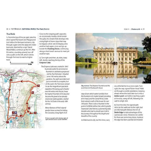
Top 10 Walks - Woodland Walks in the Lake District
£ 6.99| /This attractive, pocket size book explores ten short circular routes through woodland in the Lake District National Park. Pocket-sized but packed...
View full details£ 6.99| /Sale -
 Sale
Sale
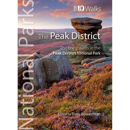
Top 10 Walks - Finest Walks in the Peak District
£ 6.99| /This attractive pocket size book gives you ten of the very best walks in the Peak District National Park. With clear information, an overvie...
View full details£ 6.99| /Sale -
 Sale
Sale
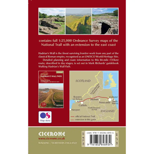
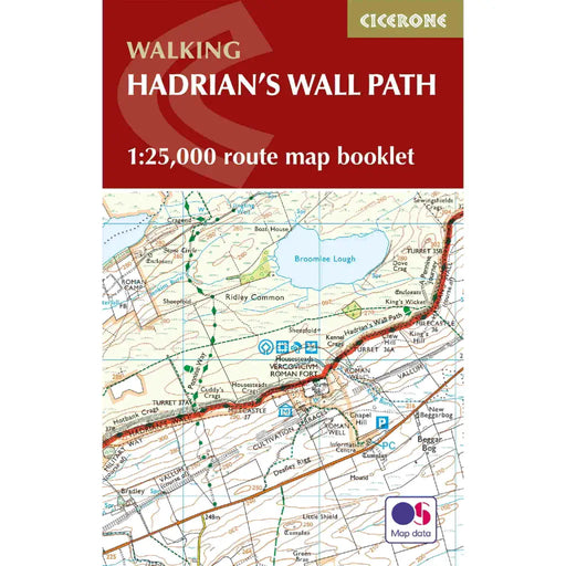
Walking the Hadrian's Wall Path map booklet
£ 12.95| /All the mapping you need to complete the 84 mile/135km length of the Hadrian's Wall between Bowness-on-Solway in the west and Wallsend in Newcastle...
View full details£ 12.95| /Sale -
 Sale
Sale
Coast to Coast Walk woven patch badge
£ 5.00| /Coast to Coast Walk woven patch celebrating this famous route across the north of England, from St Bees Head on the west coast to Robin Hood's Bay ...
View full details£ 5.00| /Sale -
 Sale
Sale
Pennine Way woven patch badge
£ 5.00| /Pennine Way woven patch, celebrating this rugged national trail from Edale to Kirk Yetholm, along the spine of England. With a design inspired by v...
View full details£ 5.00| /Sale -
 Sale
Sale
Hadrian's Wall Path woven patch badge
£ 5.00| /Hadrian's Wall Path woven patch, celebrating this popular national trail in the north of England that follows the old Roman wall from Wallsend to B...
View full details£ 5.00| /Sale -
 Sale
Sale
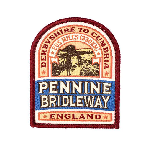
Pennine Bridleway woven patch badge
£ 5.00| /Pennine Bridleway woven patch, celebrating this stunning national trail designed for horse riders and cyclists, which runs from Derbyshire to Cumbr...
View full details£ 5.00| /Sale -
 Sale
Sale
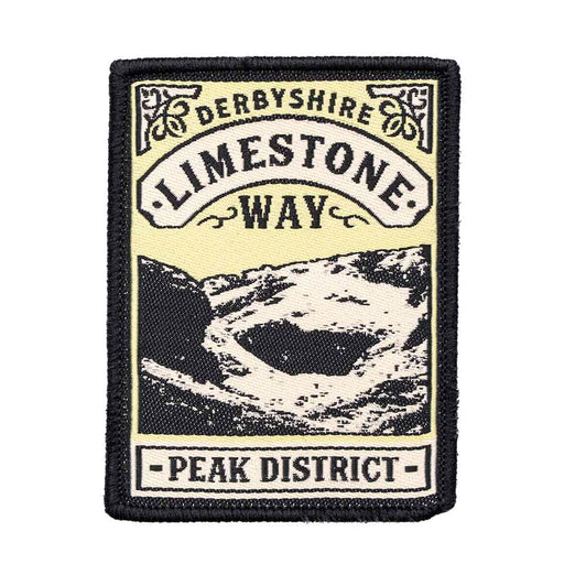
Limestone Way woven patch badge
£ 5.00| /Limestone Way woven patch, celebrating this famous walking trail that winds it way through the dramatic scenery of the White Peak area of the Peak ...
View full details£ 5.00| /Sale -
 Sale
Sale
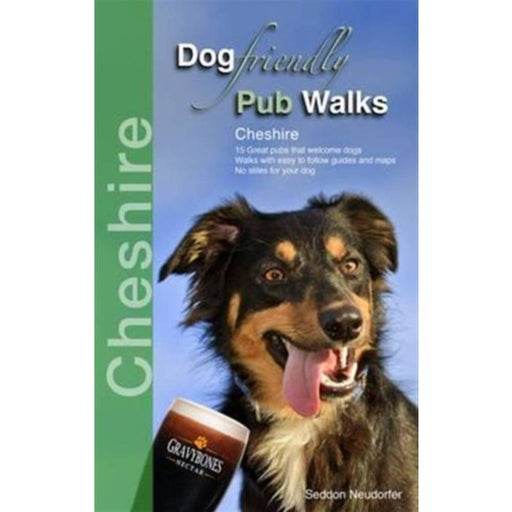
Dog Friendly Pub Walks - Cheshire
£ 9.99| /This is the perfect book for dog owners who enjoy a well-earned pint after their walk. With 15 stunning, stile-free walks, all based from dog-frien...
View full details£ 9.99| /Sale -
 Sale
Sale
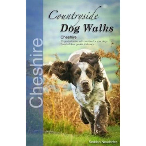
Countryside Dog Walks - Cheshire
£ 8.99| /This is the perfect book for dog owners looking for walks in Cheshire. All of the 20 walks are stile-free, and even include advice on places for y...
View full details£ 8.99| /Sale -
 Sale
Sale
Dales Way woven patch badge
£ 5.00| /Lovely patch badge celebrating the Dales Way, one of the best long distance routes in northern England. 80 glorious miles from Ilkley to Bowness on...
View full details£ 5.00| /Sale -

 Save 15%
Pennine Way 2 - Standedge to Ickornshaw - Zigzag map
Original price £ 9.95Current price £ 8.50| /This Pennine Way map covers the section between Standedge and Ickornshaw via Blackstone Edge, Stoodly Pike, Calderdale and Ickornshaw Moor. What i...
View full detailsOriginal price £ 9.95Current price £ 8.50| /Save 15% -

 Save 15%
Pennine Way 3 - Ickornshaw to Horton in Ribblesdale- Zigzag map
Original price £ 9.95Current price £ 8.50| /This Pennine Way map covers the southern Yorkshire Dales section between Ickornshaw and Horton in Ribblesdale via Gargrave, Malham and Pen-y-Ghent ...
View full detailsOriginal price £ 9.95Current price £ 8.50| /Save 15% -

 Save 15%
Pennine Way 4 - Horton in Ribblesdale to Keld - Zigzag map
Original price £ 9.95Current price £ 8.50| /This Pennine Way map covers the mid-Yorkshire Dales section between Horton in Ribblesdale and Keld via Hawes, Wensleydale, Great Shunner fell and S...
View full detailsOriginal price £ 9.95Current price £ 8.50| /Save 15% -

 Save 15%
Pennine Way 5 - Keld to Forest in Teesdale - Zigzag map
Original price £ 9.95Current price £ 8.50| /This Pennine Way map covers the section between Keld and Forest-in-Teesdale via Tan Hill, Sleightholme Moor, Bowes, Middleton in Teesdale, High For...
View full detailsOriginal price £ 9.95Current price £ 8.50| /Save 15% -

 Save 15%
Pennine Way 6 - Forest in Teesdale to Garrigill - Zigzag map
Original price £ 9.95Current price £ 8.50| /This Pennine Way map covers the section between Forest-in-Teesdale and Garrigill via Cauldron Snout, High Cup Nick, Dufton, Great Dun Fell and Cros...
View full detailsOriginal price £ 9.95Current price £ 8.50| /Save 15% -

 Save 15%
Pennine Way 7 - Garrigill to Once Brewed - Zigzag map
Original price £ 9.95Current price £ 8.50| /This Pennine Way map covers the section between Garrigill and Once Brewed on Hadrian's Wall, via Alston, South Tynedale, Slaggyford, Greenhead and ...
View full detailsOriginal price £ 9.95Current price £ 8.50| /Save 15% -

 Save 15%
Pennine Way 8 - Once Brewed to Byrness - Zigzag map
Original price £ 9.95Current price £ 8.50| /This Pennine Way map covers the section between Once Brewed on Hadrian's Wall and Byrness close to the Scottish Border, via Hadrian's Wall, Haughto...
View full detailsOriginal price £ 9.95Current price £ 8.50| /Save 15% -

 Sale
Sale
Pennine Way 9 - Byrness to Kirk Yetholm - Zigzag map
£ 9.95| /This Pennine Way map covers the section along the Border Ridge from Byrness to Kirk Yetholm, via Ogre Hill, Lamb Hill, Beefstand Hill, Windy Gyle, ...
View full details£ 9.95| /Sale -
 Sale
Sale
Dales Way - Colin Speakman's complete guide
£ 13.99| /The definitive guide to one of England's most popular long distance walks. This is the original guidebook to the Dales Way, fully revised and updat...
View full details£ 13.99| /Sale -
 Sale
Sale
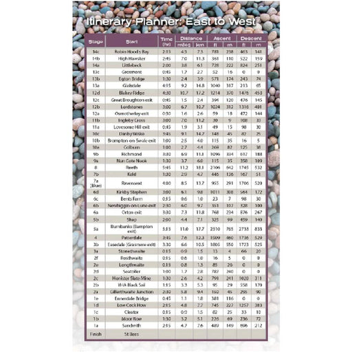
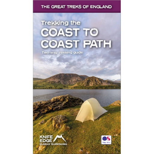
Trekking the Coast to Coast Path
£ 16.99| /An excellent, up-to-date guidebook to the ever-popular Coast to Coast path including 1:25,000 scale Ordnance Survey maps for the entire trail. Thi...
View full details£ 16.99| /Sale


