Maps
-
 Save 15%
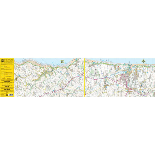
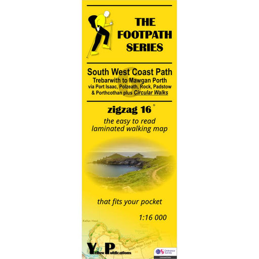
South West Coast Path Zigzag map - 6 - Trebarwith to Mawgan Porth
Original price £ 9.95Current price £ 8.50| /This zigzag map covers the Trebarwith to Mawgan Porth section of the South West Coast Path, via Port Isaac, Polzeath, Rock, Padstow and Porthcothan...
View full detailsOriginal price £ 9.95Current price £ 8.50| /Save 15% -
 Save 15%
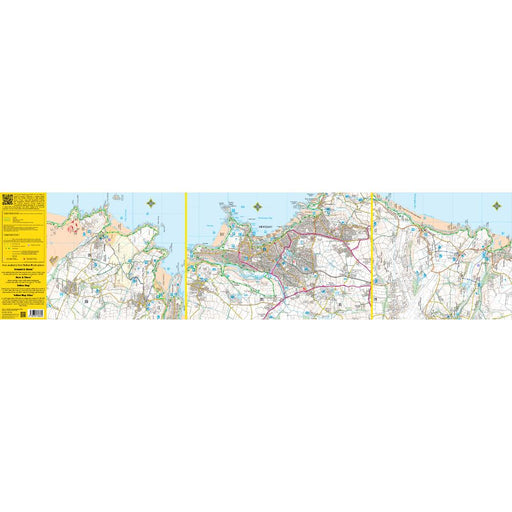
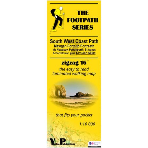
South West Coast Path Zigzag map - 7 - Mawgan Porth to Portreath
Original price £ 9.95Current price £ 8.50| /This zigzag map covers the Mawgan Porth to Portreath section of the South West Coast Path, via Newquay, Perranporth, St Agnes and Porthtowan. As we...
View full detailsOriginal price £ 9.95Current price £ 8.50| /Save 15% -
 Sale
Sale
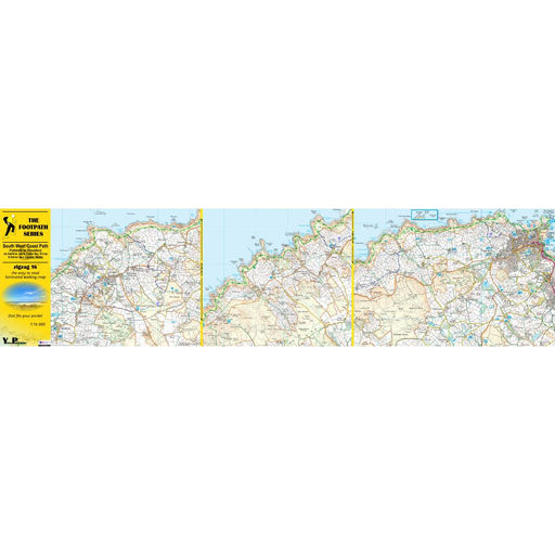
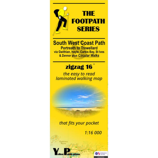
South West Coast Path Zigzag map - 8 - Portreath to Trewellard
£ 9.95| /This zigzag map covers the Portreath to Trewellard section of the South West Coast Path, via Gwithian, Hayle, Carbis Bay, St Ives and Zennor. As we...
View full details£ 9.95| /Sale -
 Save 15%
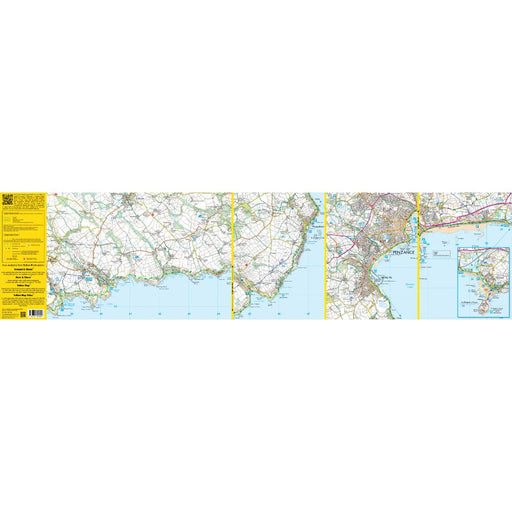
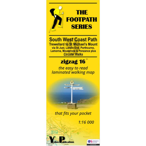
South West Coast Path Zigzag map - 9 - Trewellard to St Michael's Mount
Original price £ 9.95Current price £ 8.50| /This zigzag map covers the Trewellard to St Michael's Mount section of the South West Coast Path, via St Just, Land's End, Porthcorno, Lamorna, Mou...
View full detailsOriginal price £ 9.95Current price £ 8.50| /Save 15% -
 Sale
Sale
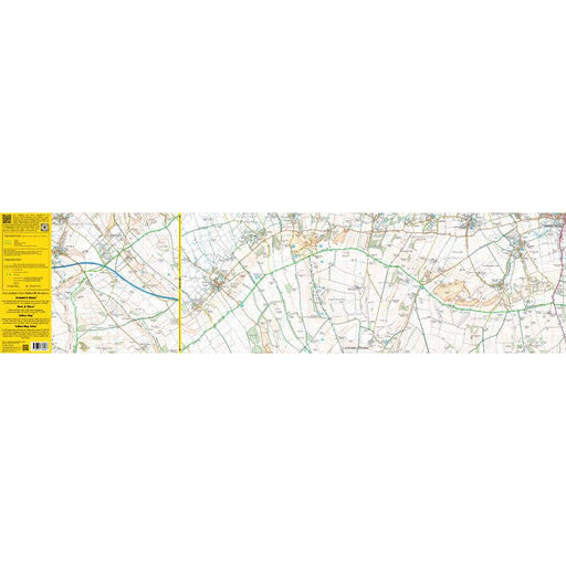
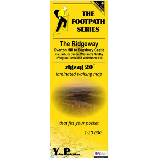
The Ridgeway Zigzag map - 1 - Overton Hill to Segsbury Castle
£ 9.95| /This easy-to-read Zigzag map of The Ridgeway covers the section from Overton Hill to Segsbury Castle, via Barbury Castle, Wayand's Smithy, Uffingto...
View full details£ 9.95| /Sale -
 Sale
Sale
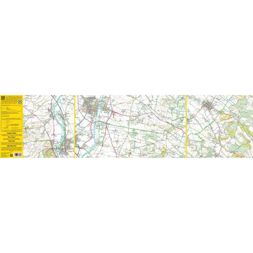
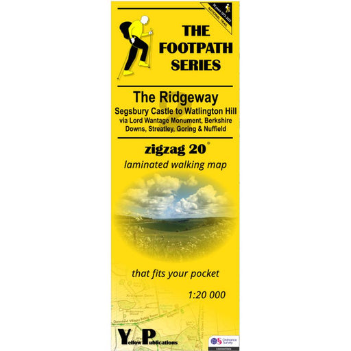
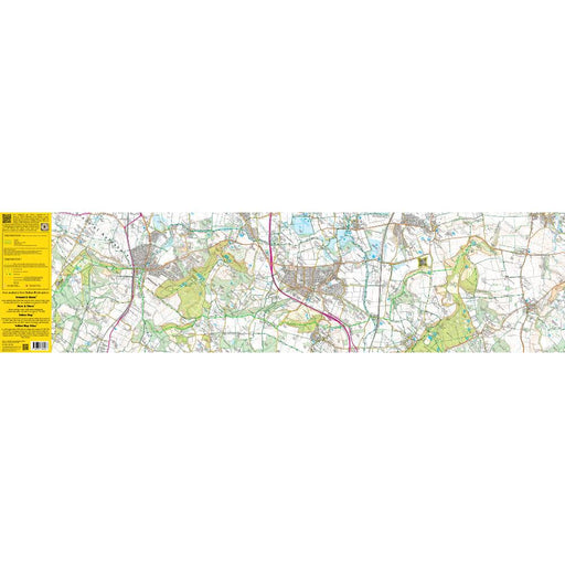
The Ridgeway Zigzag map - 2 - Segsbury Castle to Watlington Hill
£ 9.95| /This easy-to-read Zigzag map of The Ridgeway covers the section from Segsbury Castle to Watlington Hill via Lord Wantage Monument, Berkshire Downs,...
View full details£ 9.95| /Sale -
 Sale
Sale
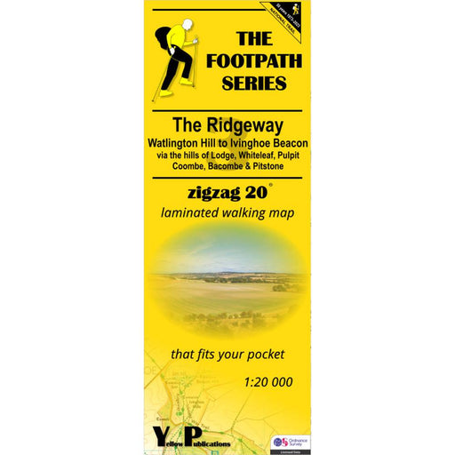
The Ridgeway Zigzag map - 3 - Watlington Hill to Ivinghoe Beacon
£ 9.95| /This easy-to-read Zigzag map of The Ridgeway covers the section from Watlington Hill to Ivinghoe Beacon via the hills of Lodge, Whiteleaf, Pulpit, ...
View full details£ 9.95| /Sale -
 Save 15%
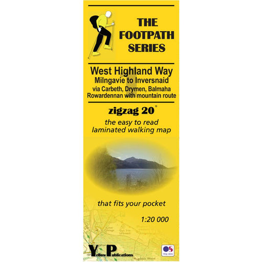
West Highland Way Zigzag map - 1 - Milngavie to Inversnaid
Original price £ 9.95Current price £ 8.50| /This Zigzag map covers the West Highland Way from Milngavie to Inversnaid, via Carbeth, Drymen, Balmaha and Rowardennan, including the mountain rou...
View full detailsOriginal price £ 9.95Current price £ 8.50| /Save 15% -
 Save 15%
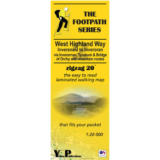
West Highland Way Zigzag map - 2 - Inversnaid to Inveroran
Original price £ 9.95Current price £ 8.50| /This Zigzag map covers the West Highland Way from Inversnaid to Inveroran, via Inverarnan. Tyndrum and Bridge of Orchy, including the mountain rout...
View full detailsOriginal price £ 9.95Current price £ 8.50| /Save 15% -
 Save 15%
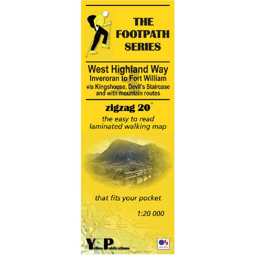
West Highland Way Zigzag map - 3 - Inveroran to Fort William
Original price £ 9.95Current price £ 8.50| /This Zigzag map covers the West Highland Way from Inveroran to Fort William, via Kingshouse, Devil's Staircase and Kinlochleven, via Inverarnan. Ty...
View full detailsOriginal price £ 9.95Current price £ 8.50| /Save 15% -

 Save 15%
Pennine Way 2 - Standedge to Ickornshaw - Zigzag map
Original price £ 9.95Current price £ 8.50| /This Pennine Way map covers the section between Standedge and Ickornshaw via Blackstone Edge, Stoodly Pike, Calderdale and Ickornshaw Moor. What i...
View full detailsOriginal price £ 9.95Current price £ 8.50| /Save 15% -

 Save 15%
Pennine Way 3 - Ickornshaw to Horton in Ribblesdale- Zigzag map
Original price £ 9.95Current price £ 8.50| /This Pennine Way map covers the southern Yorkshire Dales section between Ickornshaw and Horton in Ribblesdale via Gargrave, Malham and Pen-y-Ghent ...
View full detailsOriginal price £ 9.95Current price £ 8.50| /Save 15% -

 Save 15%
Pennine Way 4 - Horton in Ribblesdale to Keld - Zigzag map
Original price £ 9.95Current price £ 8.50| /This Pennine Way map covers the mid-Yorkshire Dales section between Horton in Ribblesdale and Keld via Hawes, Wensleydale, Great Shunner fell and S...
View full detailsOriginal price £ 9.95Current price £ 8.50| /Save 15% -

 Save 15%
Pennine Way 5 - Keld to Forest in Teesdale - Zigzag map
Original price £ 9.95Current price £ 8.50| /This Pennine Way map covers the section between Keld and Forest-in-Teesdale via Tan Hill, Sleightholme Moor, Bowes, Middleton in Teesdale, High For...
View full detailsOriginal price £ 9.95Current price £ 8.50| /Save 15% -

 Save 15%
Pennine Way 6 - Forest in Teesdale to Garrigill - Zigzag map
Original price £ 9.95Current price £ 8.50| /This Pennine Way map covers the section between Forest-in-Teesdale and Garrigill via Cauldron Snout, High Cup Nick, Dufton, Great Dun Fell and Cros...
View full detailsOriginal price £ 9.95Current price £ 8.50| /Save 15% -

 Save 15%
Pennine Way 7 - Garrigill to Once Brewed - Zigzag map
Original price £ 9.95Current price £ 8.50| /This Pennine Way map covers the section between Garrigill and Once Brewed on Hadrian's Wall, via Alston, South Tynedale, Slaggyford, Greenhead and ...
View full detailsOriginal price £ 9.95Current price £ 8.50| /Save 15% -

 Save 15%
Pennine Way 8 - Once Brewed to Byrness - Zigzag map
Original price £ 9.95Current price £ 8.50| /This Pennine Way map covers the section between Once Brewed on Hadrian's Wall and Byrness close to the Scottish Border, via Hadrian's Wall, Haughto...
View full detailsOriginal price £ 9.95Current price £ 8.50| /Save 15% -

 Sale
Sale
Pennine Way 9 - Byrness to Kirk Yetholm - Zigzag map
£ 9.95| /This Pennine Way map covers the section along the Border Ridge from Byrness to Kirk Yetholm, via Ogre Hill, Lamb Hill, Beefstand Hill, Windy Gyle, ...
View full details£ 9.95| /Sale -

 Sale
Sale
Hadrian's Wall Path 1 - Wallsend to Humshaugh
£ 9.95| /This Zigzag map covers the first section of Hadrian's Wall Path from Wallsend to Humshaugh via the Heddon-on-the-Wall, Harlow Hill and Halton Shiel...
View full details£ 9.95| /Sale -

 Sale
Sale
Hadrian's Wall Path 2 - Humshaugh to Lanercost
£ 9.95| /This Zigzag map covers the second section of Hadrian's Wall Path from Humshaugh to Lanercost via Sycamore Gap and Thirlwall Castle including Houses...
View full details£ 9.95| /Sale -

 Sale
Sale
Hadrian's Wall Path 3 - Lanercost to Bowness-on-Solway
£ 9.95| /This Zigzag map covers the second section of Hadrian's Wall Path from Humshaugh to Lanercost via Sycamore Gap and Thirlwall Castle including Houses...
View full details£ 9.95| /Sale -

 Sale
Sale
Two Moors Way Harvey map
£ 15.95| /The Two Moors Way is Devon's coast-to-coast walking route boasting some of the most spectacular scenery in the South West of England. Taking you 11...
View full details£ 15.95| /Sale -
 Sale
Sale
North Downs Way 2 - Zigzag map - Dorking to Otford
£ 9.95| /This North Downs Way map covers the section from Dorking to Otford via Box Hill, Colley Hill, Merstham & Knockholt Pound. What is different ab...
View full details£ 9.95| /Sale -
 Sale
Sale
North Downs Way 3 - Zigzag map - Otford to Detling
£ 9.95| /This North Downs Way map covers the section from Otford to Detling via Wrotham, Trosley Country Park, Cuxton, Burnham Down and Blue Bell Hill. Wha...
View full details£ 9.95| /Sale


