Maps
-
 Sale
Sale
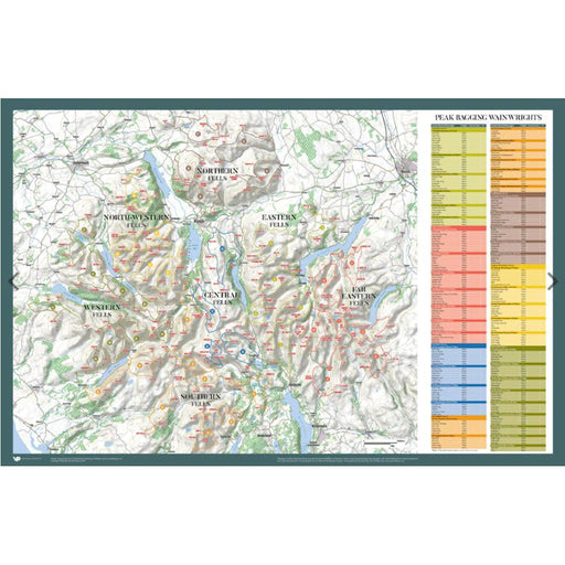
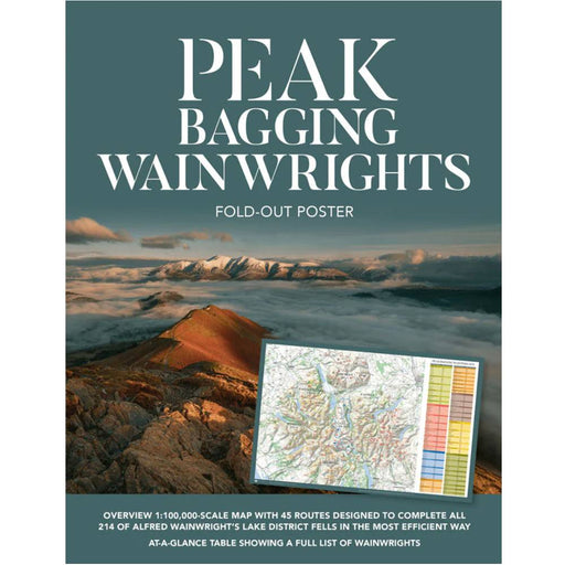
Peak Bagging Wainwrights - fold out poster map
£ 14.95| /An overview 1:100,000 scale map showing the 45 routes designed to complete all of Wainwright's lake District Fells in the most efficient way. The m...
View full details£ 14.95| /Sale -
 Sale
Sale
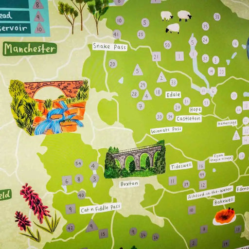
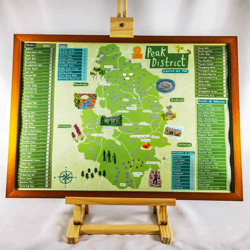
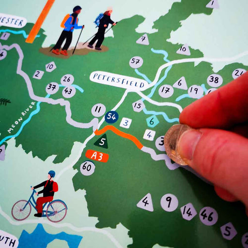
Peak District Outdoor Scratch Map
£ 20.00| /We love this attractive scratch map of the Peak District. With 100 places to visit and scratch off this colourful map highlights the top 10 waterfa...
View full details£ 20.00| /Sale -
 Sold out
Lake District Outdoor Scratch Map
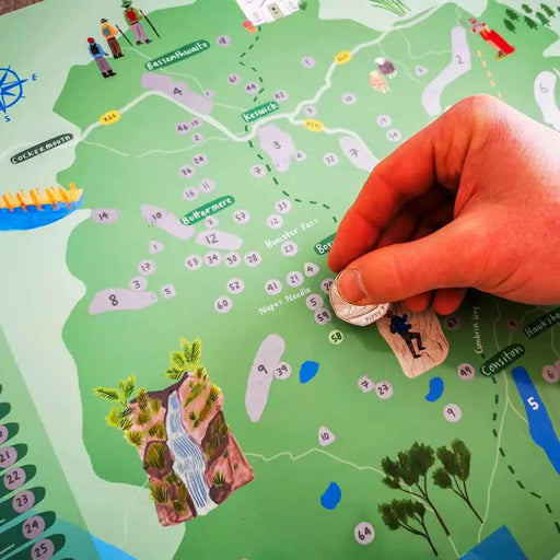
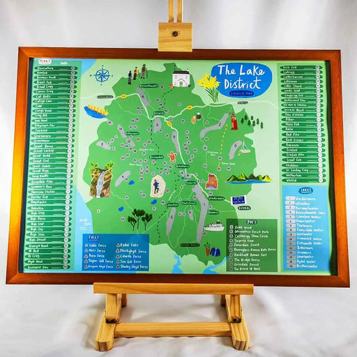
£ 20.00| /If you love the Lake District you'll love this map. Simply scratch of the 100 fabulous things to see and do as you do them. 100 places to visit an...
View full details£ 20.00| /Sold out -
 Sale
Sale
Dartmoor Outdoor Scratch Map
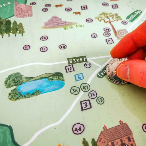
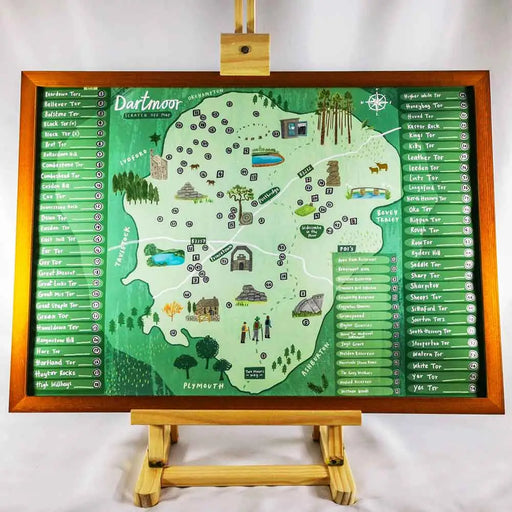
£ 20.00| /If you’ve ever visited, or plan to visit Dartmoor, this is the gift for you! With over 70 places for you to visit and then scratch off it will keep...
View full details£ 20.00| /Sale -
 Sale
Sale
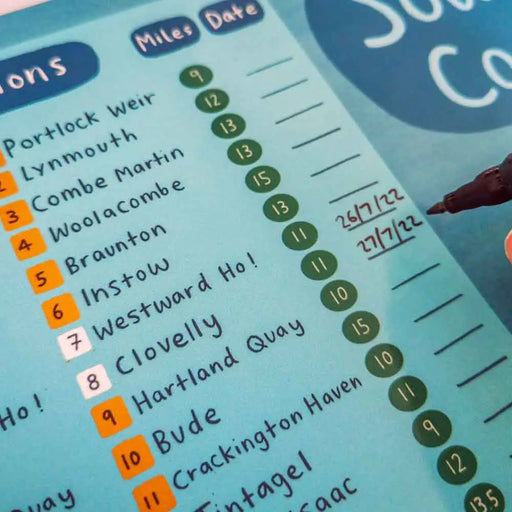
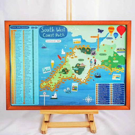
South West Coast Path Outdoor Scratch Map
£ 20.00| /This is just the best idea. Walking the South West Coast Path National Trail is a big undertaking, and not many people tackle it all in one go. But...
View full details£ 20.00| /Sale -
 Sale
Sale
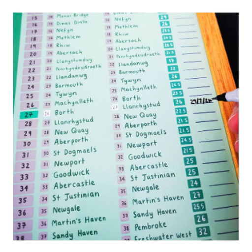
Wales Coast Path Outdoor Scratch Map
£ 20.00| /This is just the best idea. If you are tackling the 870 miles of Wales Coast Path you'll love this map. Very few people manage this challenge in on...
View full details£ 20.00| /Sale -
 Sale
Sale
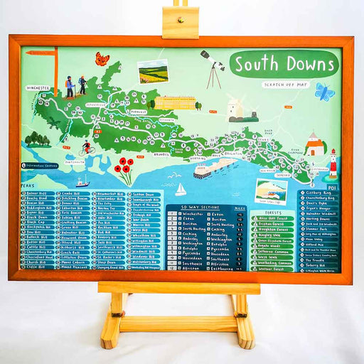
South Downs Way Outdoor Scratch Map
£ 20.00| /This gorgeous South Downs Way Scratch Map allows you to scratch off sections as you complete them. Perfect if you are walking the trail over a seri...
View full details£ 20.00| /Sale -
 Sale
Sale
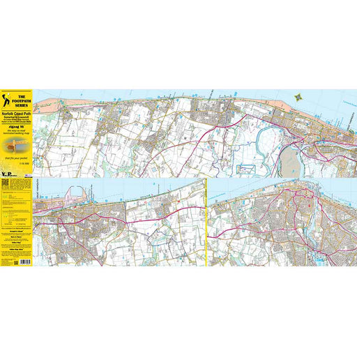
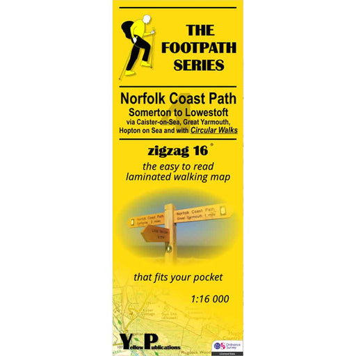
Norfolk Coast Path Zigzag map - 4 - Somerton to Lowestoft
£ 9.95| /As their name suggests, Zigzag maps come in a concertina strip format and with 200cm of mapping, they can follow a long distance footpath at a scal...
View full details£ 9.95| /Sale -
 Save 15%
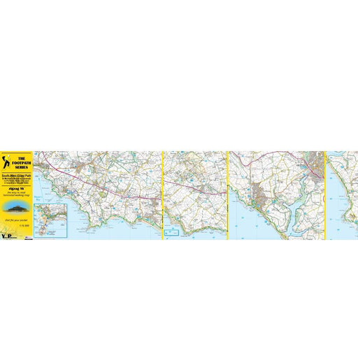
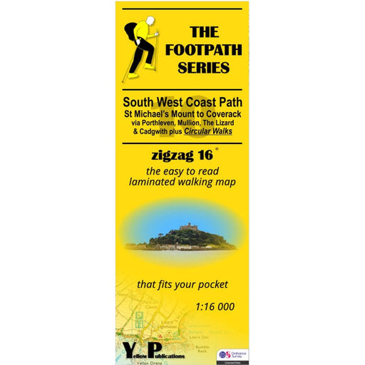
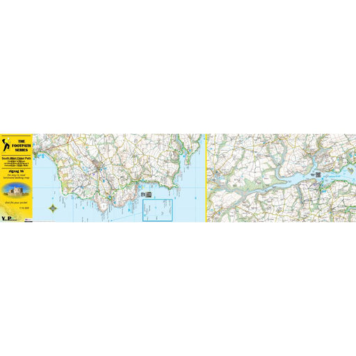
South West Coast Path Zigzag map - 10 - St Michael's Mount to Coverack
Original price £ 9.95Current price £ 8.50| /This South West Coast Path map covers the section between St Michael's Mount and Coverack via Porthleven, Mullion, The Lizard and Cadgwith. It also...
View full detailsOriginal price £ 9.95Current price £ 8.50| /Save 15% -
 Save 15%
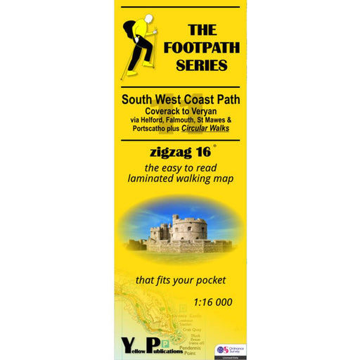
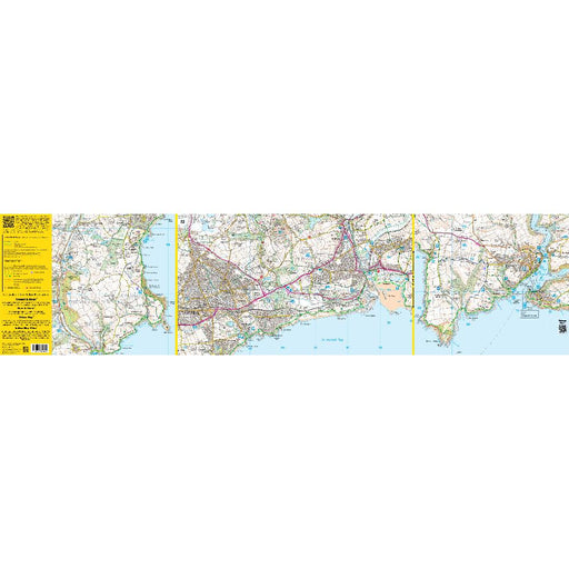
South West Coast Path Zigzag map - 11 - Coverack to Veryan
Original price £ 9.95Current price £ 8.50| /This South West Coast Path map covers the section between Coverack and Veryan via Helford, Falmouth, St Mawes and Portscatho. It also includes seve...
View full detailsOriginal price £ 9.95Current price £ 8.50| /Save 15% -
 Save 15%
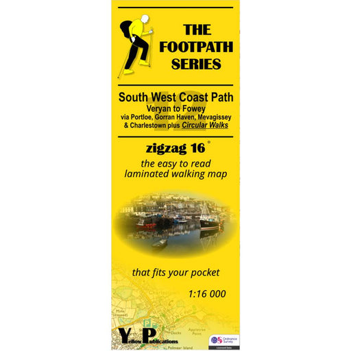
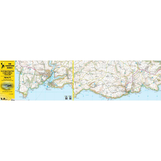
South West Coast Path Zigzag map - 12 - Veryan to Fowey
Original price £ 9.95Current price £ 8.50| /This South West Coast Path map covers the section between Veryan and Fowey via Portloe, Gorran Haven, Mevagissey and Charlestown. It also includes ...
View full detailsOriginal price £ 9.95Current price £ 8.50| /Save 15% -
 Save 15%
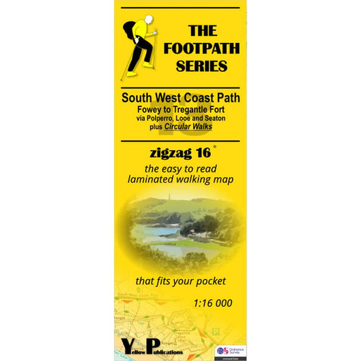
South West Coast Path Zigzag map - 13 - Fowey to Tregantle Fort
Original price £ 9.95Current price £ 8.50| /This South West Coast Path map covers the section between Fowey and Tregantle Fort via Polperro, Looe and Seaton. It also includes several circular...
View full detailsOriginal price £ 9.95Current price £ 8.50| /Save 15% -
 Save 15%
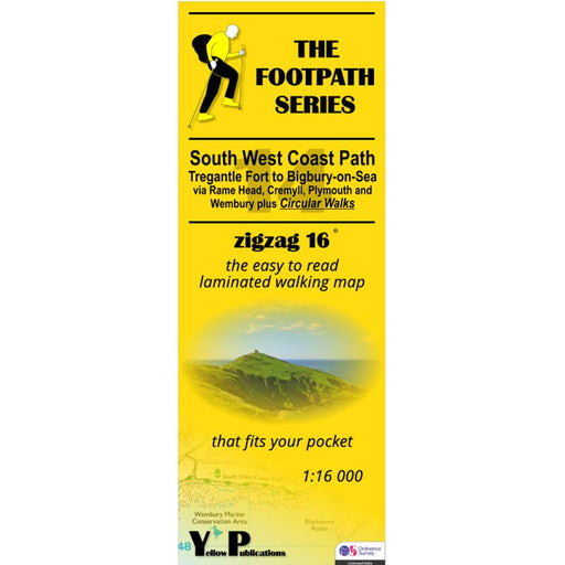
South West Coast Path Zigzag map - 14 - Tregantle Fort to Bigbury-on-Sea
Original price £ 9.95Current price £ 8.50| /This South West Coast Path map covers the section between Tregantle Fort and Bigbury-on-Sea via Rame Head, Cremyll, Plymouth and Wembury. It also i...
View full detailsOriginal price £ 9.95Current price £ 8.50| /Save 15% -
 Save 15%
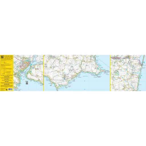
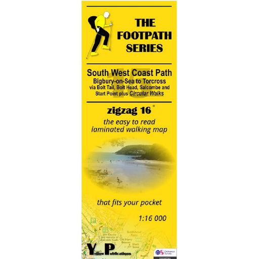
South West Coast Path Zigzag map - 15 - Bigbury-on-Sea to Torcross
Original price £ 9.95Current price £ 8.50| /This South West Coast Path map covers the section between Bigbury-on-Sea and Torcross via Bolt Tail, Bolt Head, Salcome and Start point. It also in...
View full detailsOriginal price £ 9.95Current price £ 8.50| /Save 15% -

 Sale
Sale
South West Coast Path Zigzag map - 16 - Torcross to Babbacombe
£ 9.95| /This South West Coast Path map covers the section between Torcross and Babbacombe via Dartmouth, Brixham, Paignton and Torquay. It also includes se...
View full details£ 9.95| /Sale -
 Save 15%
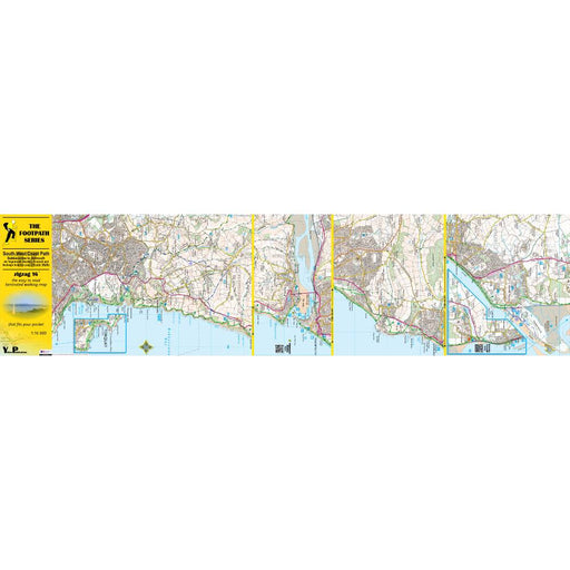
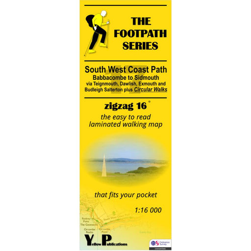
South West Coast Path Zigzag map - 17 - Babbacombe to Sidmouth
Original price £ 9.95Current price £ 8.50| /This South West Coast Path map covers the section between Babbacombe and Sidmouth via Teignmouth, Dawlish, Exmouth and Budleigh Salterton. It also ...
View full detailsOriginal price £ 9.95Current price £ 8.50| /Save 15% -

 Sale
Sale
South West Coast Path Zigzag map - 18 - Sidmouth to Seatown
£ 9.95| /This South West Coast Path map covers the section between Sidmouth and Seatown via Beer, Seaton, Axmouth, Lyme Regis and Charmouth. It also include...
View full details£ 9.95| /Sale -

 Sale
Sale
South West Coast Path Zigzag map - 19 - Seatown to Ferry Bridge
£ 9.95| /This South West Coast Path map covers the section between Seatown and Ferry Bridge via West Bay, Burton Bradstock and Abbotsbury. It also includes ...
View full details£ 9.95| /Sale -
 Sold out
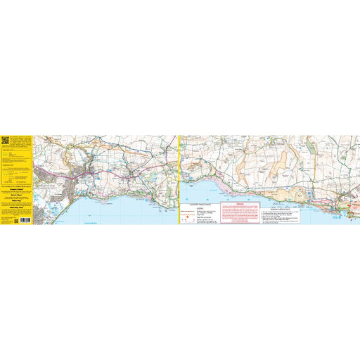
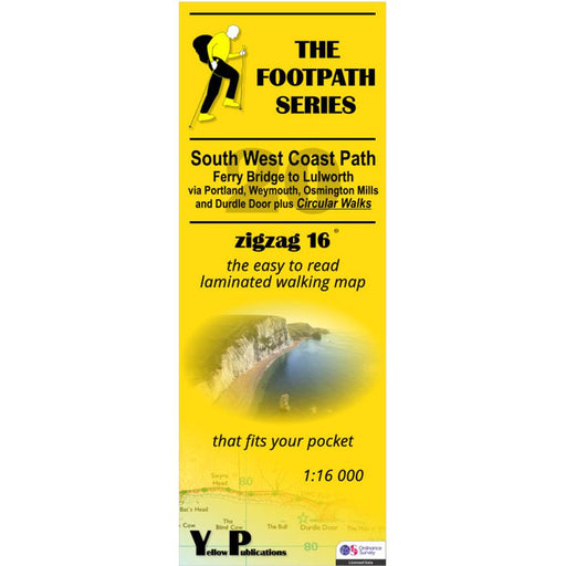
South West Coast Path Zigzag map - 20 - Ferry Bridge to Lulworth
Original price £ 9.95Current price £ 8.50| /This South West Coast Path map covers the section between Ferry Bridge and Lulworth via Portland, Weymouth, Osmington Mills and Durdle Door. It als...
View full detailsOriginal price £ 9.95Current price £ 8.50| /Sold out -

 Save 15%
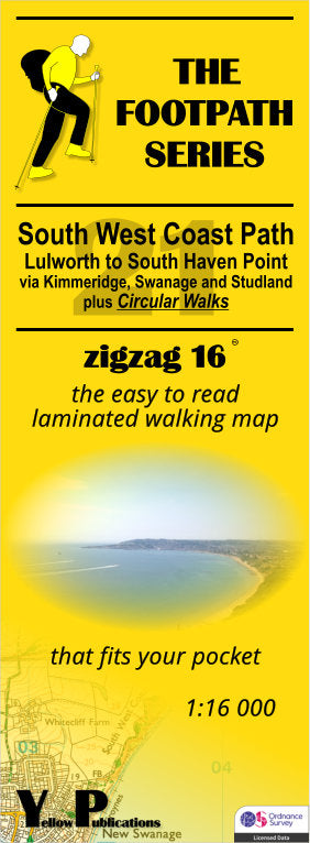
South West Coast Path Zigzag map - 21 - Lulworth to South Haven Point
Original price £ 9.95Current price £ 8.50| /This South West Coast Path map covers the section between Lulworth and South Haven Point via Kimmeridge, Swanage and Studland. It also includes sev...
View full detailsOriginal price £ 9.95Current price £ 8.50| /Save 15% -

 Sold out
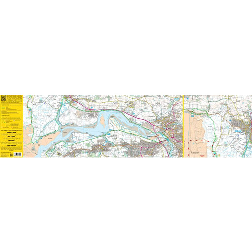
South West Coast Path Zigzag map - 2 - Woody Bay to Saunton
£ 9.95| /This zigzag map covers the Woody Bay to Saunton section of the South West Coast Path, via Heddon's Mouth, Ilfracombe, Combe Martin and Mortenhoe. ...
View full details£ 9.95| /Sold out -
 Save 15%
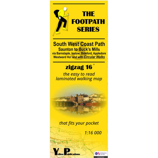
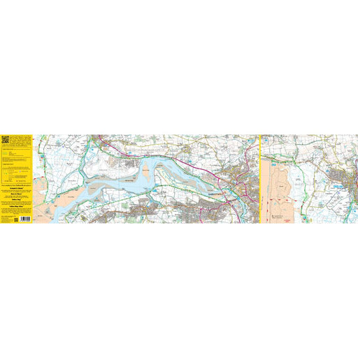
South West Coast Path Zigzag map - 3 - Saunton to Buck's Mills
Original price £ 9.95Current price £ 8.50| /This zigzag map covers the Saunton to Buck's Mills section of the South West Coast Path, via Barnstaple, Instow, Bideford, Appledore and Westwood H...
View full detailsOriginal price £ 9.95Current price £ 8.50| /Save 15% -
 Save 15%
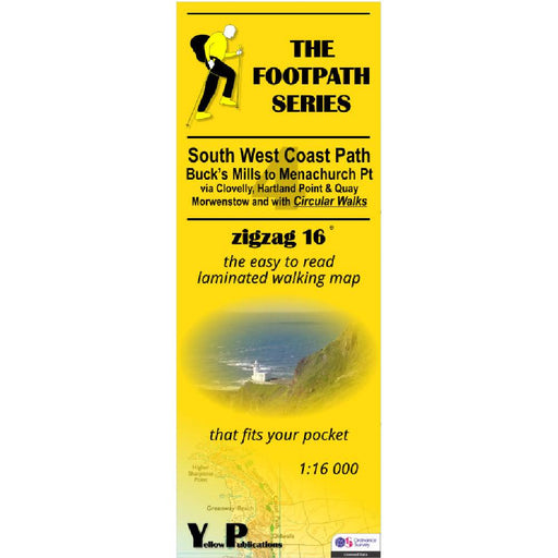
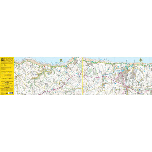
South West Coast Path Zigzag map - 4 - Buck's Mills to Menachurch Point
Original price £ 9.95Current price £ 8.50| /This zigzag map covers the Buck's Mills to Menachurch Point section of the South West Coast Path, via Clovelly, Hartland Point and Quay and Morwens...
View full detailsOriginal price £ 9.95Current price £ 8.50| /Save 15% -
 Save 15%
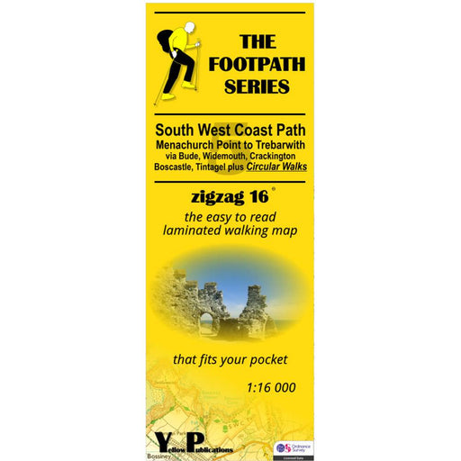
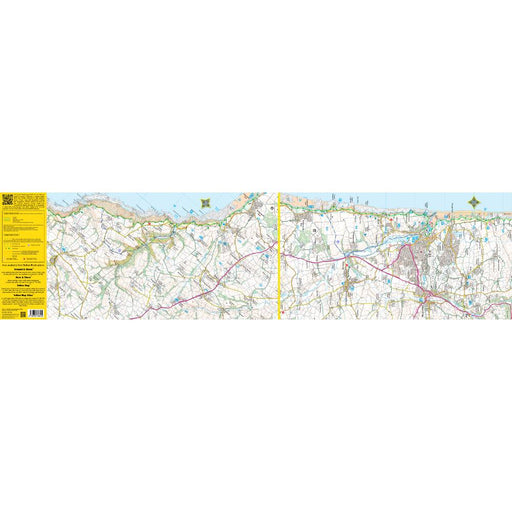
South West Coast Path Zigzag map - 5 - Menachurch Point to Trebarwith
Original price £ 9.95Current price £ 8.50| /This zigzag map covers the Menachurch Point to Trebarwith section of the South West Coast Path, via Bude, Widemouth, Crackington, Boscastle and Tin...
View full detailsOriginal price £ 9.95Current price £ 8.50| /Save 15% -
 Save 15%
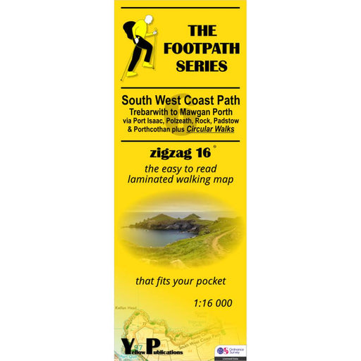
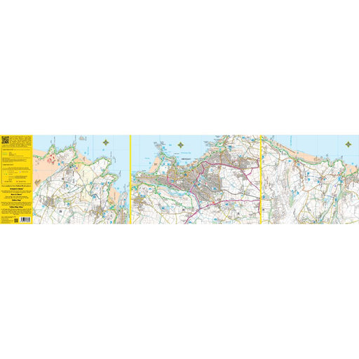
South West Coast Path Zigzag map - 6 - Trebarwith to Mawgan Porth
Original price £ 9.95Current price £ 8.50| /This zigzag map covers the Trebarwith to Mawgan Porth section of the South West Coast Path, via Port Isaac, Polzeath, Rock, Padstow and Porthcothan...
View full detailsOriginal price £ 9.95Current price £ 8.50| /Save 15% -
 Save 15%
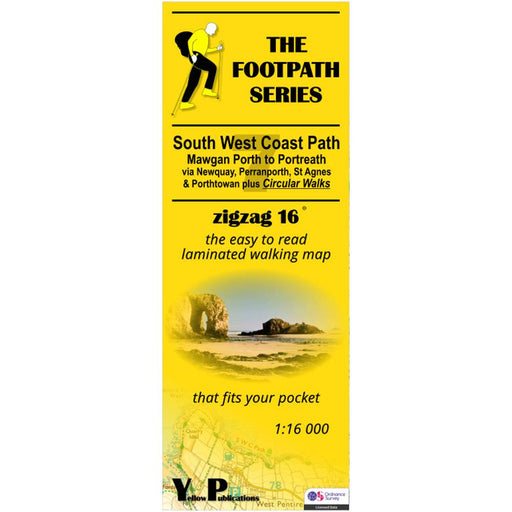
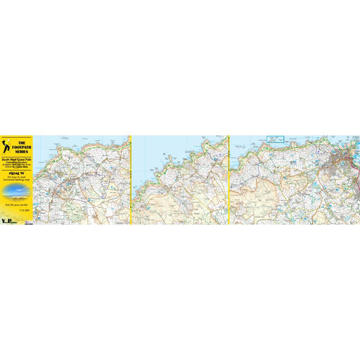
South West Coast Path Zigzag map - 7 - Mawgan Porth to Portreath
Original price £ 9.95Current price £ 8.50| /This zigzag map covers the Mawgan Porth to Portreath section of the South West Coast Path, via Newquay, Perranporth, St Agnes and Porthtowan. As we...
View full detailsOriginal price £ 9.95Current price £ 8.50| /Save 15% -
 Sale
Sale
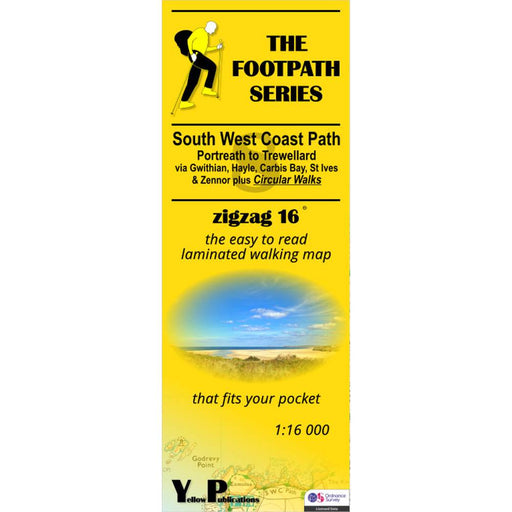
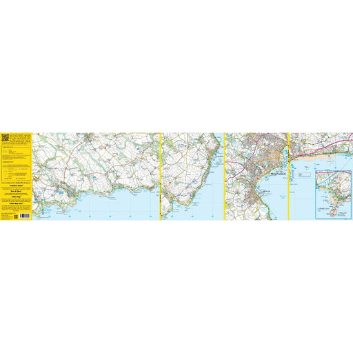
South West Coast Path Zigzag map - 8 - Portreath to Trewellard
£ 9.95| /This zigzag map covers the Portreath to Trewellard section of the South West Coast Path, via Gwithian, Hayle, Carbis Bay, St Ives and Zennor. As we...
View full details£ 9.95| /Sale -
 Save 15%
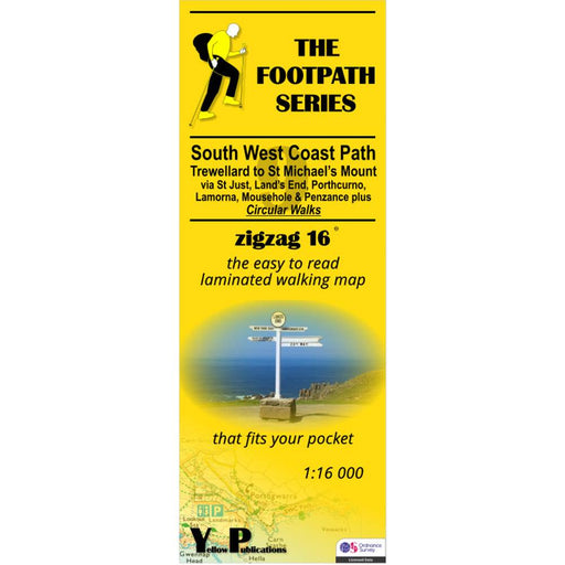
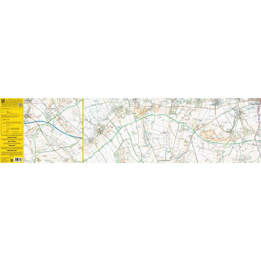
South West Coast Path Zigzag map - 9 - Trewellard to St Michael's Mount
Original price £ 9.95Current price £ 8.50| /This zigzag map covers the Trewellard to St Michael's Mount section of the South West Coast Path, via St Just, Land's End, Porthcorno, Lamorna, Mou...
View full detailsOriginal price £ 9.95Current price £ 8.50| /Save 15% -
 Sale
Sale
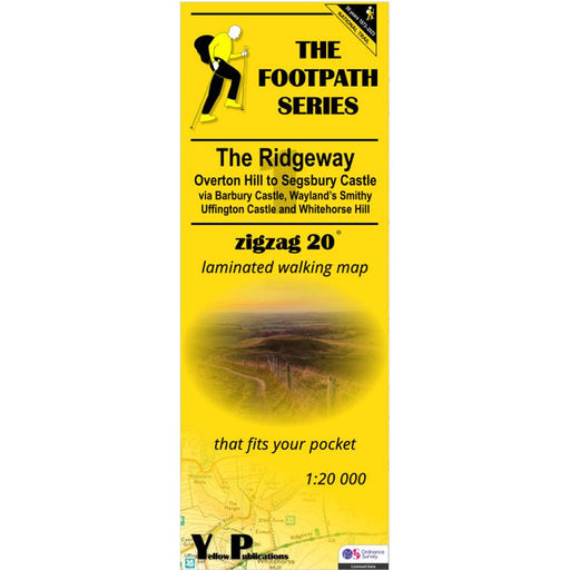
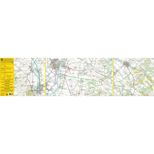
The Ridgeway Zigzag map - 1 - Overton Hill to Segsbury Castle
£ 9.95| /This easy-to-read Zigzag map of The Ridgeway covers the section from Overton Hill to Segsbury Castle, via Barbury Castle, Wayand's Smithy, Uffingto...
View full details£ 9.95| /Sale -
 Sale
Sale
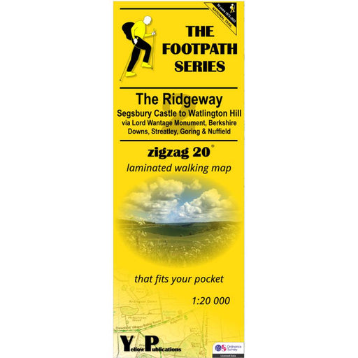
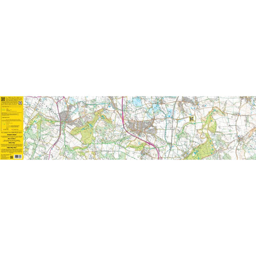
The Ridgeway Zigzag map - 2 - Segsbury Castle to Watlington Hill
£ 9.95| /This easy-to-read Zigzag map of The Ridgeway covers the section from Segsbury Castle to Watlington Hill via Lord Wantage Monument, Berkshire Downs,...
View full details£ 9.95| /Sale -
 Sale
Sale
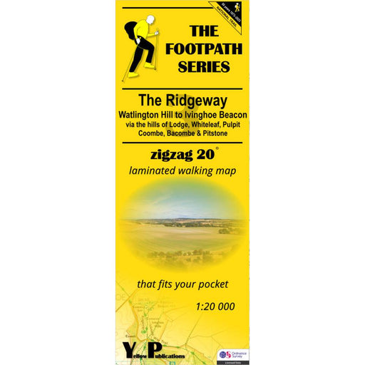
The Ridgeway Zigzag map - 3 - Watlington Hill to Ivinghoe Beacon
£ 9.95| /This easy-to-read Zigzag map of The Ridgeway covers the section from Watlington Hill to Ivinghoe Beacon via the hills of Lodge, Whiteleaf, Pulpit, ...
View full details£ 9.95| /Sale -
 Save 15%
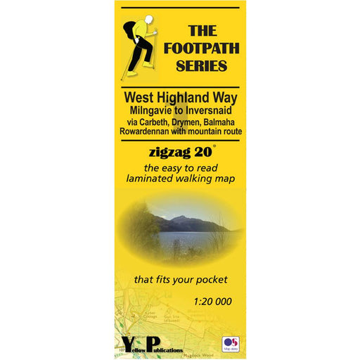
West Highland Way Zigzag map - 1 - Milngavie to Inversnaid
Original price £ 9.95Current price £ 8.50| /This Zigzag map covers the West Highland Way from Milngavie to Inversnaid, via Carbeth, Drymen, Balmaha and Rowardennan, including the mountain rou...
View full detailsOriginal price £ 9.95Current price £ 8.50| /Save 15% -
 Save 15%
West Highland Way Zigzag map - 2 - Inversnaid to Inveroran
Original price £ 9.95Current price £ 8.50| /This Zigzag map covers the West Highland Way from Inversnaid to Inveroran, via Inverarnan. Tyndrum and Bridge of Orchy, including the mountain rout...
View full detailsOriginal price £ 9.95Current price £ 8.50| /Save 15% -
 Save 15%
West Highland Way Zigzag map - 3 - Inveroran to Fort William
Original price £ 9.95Current price £ 8.50| /This Zigzag map covers the West Highland Way from Inveroran to Fort William, via Kingshouse, Devil's Staircase and Kinlochleven, via Inverarnan. Ty...
View full detailsOriginal price £ 9.95Current price £ 8.50| /Save 15% -

 Save 15%
Pennine Way 2 - Standedge to Ickornshaw - Zigzag map
Original price £ 9.95Current price £ 8.50| /This Pennine Way map covers the section between Standedge and Ickornshaw via Blackstone Edge, Stoodly Pike, Calderdale and Ickornshaw Moor. What i...
View full detailsOriginal price £ 9.95Current price £ 8.50| /Save 15% -

 Save 15%
Pennine Way 3 - Ickornshaw to Horton in Ribblesdale- Zigzag map
Original price £ 9.95Current price £ 8.50| /This Pennine Way map covers the southern Yorkshire Dales section between Ickornshaw and Horton in Ribblesdale via Gargrave, Malham and Pen-y-Ghent ...
View full detailsOriginal price £ 9.95Current price £ 8.50| /Save 15% -

 Save 15%
Pennine Way 4 - Horton in Ribblesdale to Keld - Zigzag map
Original price £ 9.95Current price £ 8.50| /This Pennine Way map covers the mid-Yorkshire Dales section between Horton in Ribblesdale and Keld via Hawes, Wensleydale, Great Shunner fell and S...
View full detailsOriginal price £ 9.95Current price £ 8.50| /Save 15% -

 Save 15%
Pennine Way 5 - Keld to Forest in Teesdale - Zigzag map
Original price £ 9.95Current price £ 8.50| /This Pennine Way map covers the section between Keld and Forest-in-Teesdale via Tan Hill, Sleightholme Moor, Bowes, Middleton in Teesdale, High For...
View full detailsOriginal price £ 9.95Current price £ 8.50| /Save 15% -

 Save 15%
Pennine Way 6 - Forest in Teesdale to Garrigill - Zigzag map
Original price £ 9.95Current price £ 8.50| /This Pennine Way map covers the section between Forest-in-Teesdale and Garrigill via Cauldron Snout, High Cup Nick, Dufton, Great Dun Fell and Cros...
View full detailsOriginal price £ 9.95Current price £ 8.50| /Save 15% -

 Save 15%
Pennine Way 7 - Garrigill to Once Brewed - Zigzag map
Original price £ 9.95Current price £ 8.50| /This Pennine Way map covers the section between Garrigill and Once Brewed on Hadrian's Wall, via Alston, South Tynedale, Slaggyford, Greenhead and ...
View full detailsOriginal price £ 9.95Current price £ 8.50| /Save 15% -

 Save 15%
Pennine Way 8 - Once Brewed to Byrness - Zigzag map
Original price £ 9.95Current price £ 8.50| /This Pennine Way map covers the section between Once Brewed on Hadrian's Wall and Byrness close to the Scottish Border, via Hadrian's Wall, Haughto...
View full detailsOriginal price £ 9.95Current price £ 8.50| /Save 15% -

 Sale
Sale
Pennine Way 9 - Byrness to Kirk Yetholm - Zigzag map
£ 9.95| /This Pennine Way map covers the section along the Border Ridge from Byrness to Kirk Yetholm, via Ogre Hill, Lamb Hill, Beefstand Hill, Windy Gyle, ...
View full details£ 9.95| /Sale -

 Sale
Sale
Hadrian's Wall Path 1 - Wallsend to Humshaugh
£ 9.95| /This Zigzag map covers the first section of Hadrian's Wall Path from Wallsend to Humshaugh via the Heddon-on-the-Wall, Harlow Hill and Halton Shiel...
View full details£ 9.95| /Sale -

 Sale
Sale
Hadrian's Wall Path 2 - Humshaugh to Lanercost
£ 9.95| /This Zigzag map covers the second section of Hadrian's Wall Path from Humshaugh to Lanercost via Sycamore Gap and Thirlwall Castle including Houses...
View full details£ 9.95| /Sale -

 Sale
Sale
Hadrian's Wall Path 3 - Lanercost to Bowness-on-Solway
£ 9.95| /This Zigzag map covers the second section of Hadrian's Wall Path from Humshaugh to Lanercost via Sycamore Gap and Thirlwall Castle including Houses...
View full details£ 9.95| /Sale -

 Sale
Sale
Two Moors Way Harvey map
£ 15.95| /The Two Moors Way is Devon's coast-to-coast walking route boasting some of the most spectacular scenery in the South West of England. Taking you 11...
View full details£ 15.95| /Sale -
 Sale
Sale
North Downs Way 2 - Zigzag map - Dorking to Otford
£ 9.95| /This North Downs Way map covers the section from Dorking to Otford via Box Hill, Colley Hill, Merstham & Knockholt Pound. What is different ab...
View full details£ 9.95| /Sale -
 Sale
Sale
North Downs Way 3 - Zigzag map - Otford to Detling
£ 9.95| /This North Downs Way map covers the section from Otford to Detling via Wrotham, Trosley Country Park, Cuxton, Burnham Down and Blue Bell Hill. Wha...
View full details£ 9.95| /Sale


