Long Distance Hiking Trails UK Maps
Are you looking for a longer walk to enjoy beautiful views and keep active? Our long distance hiking trails UK maps can help you keep on track and reach your destination safely.
Our Cotswold Way Harvey SplashMap is printed onto weatherproof, washable, wearable, breathable material to stay useful during wetter weather. If you are looking for a challenging route, our waterproof My Minimap National Three Peaks Challenge Series is the perfect choice.
-

 Save 15%
Pennine Way 6 - Forest in Teesdale to Garrigill - Zigzag map
Original price £ 9.95Current price £ 8.50This Pennine Way map covers the section between Forest-in-Teesdale and Garrigill via Cauldron Snout, High Cup Nick, Dufton, Great Dun Fell and Cros...
View full detailsOriginal price £ 9.95Current price £ 8.50Save 15% -

 Save 15%
Pennine Way 7 - Garrigill to Once Brewed - Zigzag map
Original price £ 9.95Current price £ 8.50This Pennine Way map covers the section between Garrigill and Once Brewed on Hadrian's Wall, via Alston, South Tynedale, Slaggyford, Greenhead and ...
View full detailsOriginal price £ 9.95Current price £ 8.50Save 15% -

 Save 15%
Pennine Way 8 - Once Brewed to Byrness - Zigzag map
Original price £ 9.95Current price £ 8.50This Pennine Way map covers the section between Once Brewed on Hadrian's Wall and Byrness close to the Scottish Border, via Hadrian's Wall, Haughto...
View full detailsOriginal price £ 9.95Current price £ 8.50Save 15% -


Pennine Way 9 - Byrness to Kirk Yetholm - Zigzag map
£ 9.95This Pennine Way map covers the section along the Border Ridge from Byrness to Kirk Yetholm, via Ogre Hill, Lamb Hill, Beefstand Hill, Windy Gyle, ...
View full details£ 9.95 -


Hadrian's Wall Path 1 - Wallsend to Humshaugh
£ 9.95This Zigzag map covers the first section of Hadrian's Wall Path from Wallsend to Humshaugh via the Heddon-on-the-Wall, Harlow Hill and Halton Shiel...
View full details£ 9.95 -


Hadrian's Wall Path 2 - Humshaugh to Lanercost
£ 9.95This Zigzag map covers the second section of Hadrian's Wall Path from Humshaugh to Lanercost via Sycamore Gap and Thirlwall Castle including Houses...
View full details£ 9.95 -


Hadrian's Wall Path 3 - Lanercost to Bowness-on-Solway
£ 9.95This Zigzag map covers the second section of Hadrian's Wall Path from Humshaugh to Lanercost via Sycamore Gap and Thirlwall Castle including Houses...
View full details£ 9.95 -


Two Moors Way Harvey map
£ 15.95The Two Moors Way is Devon's coast-to-coast walking route boasting some of the most spectacular scenery in the South West of England. Taking you 11...
View full details£ 15.95 -

North Downs Way 2 - Zigzag map - Dorking to Otford
£ 9.95This North Downs Way map covers the section from Dorking to Otford via Box Hill, Colley Hill, Merstham & Knockholt Pound. What is different ab...
View full details£ 9.95 -

North Downs Way 3 - Zigzag map - Otford to Detling
£ 9.95This North Downs Way map covers the section from Otford to Detling via Wrotham, Trosley Country Park, Cuxton, Burnham Down and Blue Bell Hill. Wha...
View full details£ 9.95 -

North Downs Way 4 - Zigzag map - Detling to Wye
£ 9.95This North Downs Way map covers the section from Detling to Wye via Hollingbourne, Charing Hill, Eastwell Park & Boughton Lees. What is differe...
View full details£ 9.95 -

North Downs Way 5 - Zigzag map - Wye to Dover
£ 9.95This North Downs Way map covers the section from Wye to Dover via Stowting, Folkestone White Horse, Dover Hill and the Battle of Britain Memorial. ...
View full details£ 9.95 -

North Downs Way 6 - Zigzag map - Wye to Dover - Canterbury Loop
£ 9.95This Zigzag map covers the Canterbury Loop of the North Downs Way from Wye to Dover via Chilham, Chartham Hatch, Canterbury & Shepherdswell. If...
View full details£ 9.95 -

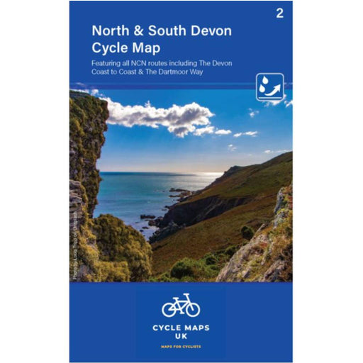
North and South Devon Cycle Map - map 2
£ 6.99This North and South Devon Cycling map features all the NCN routes including the Devon Coast to Coast and the Dartmoor Way. With clear and easy ...
View full details£ 6.99 -


Somerset Levels & Dorset Downs Cycle Map - map 3
£ 6.99This Somerset Levels & Dorset Downs Cycling map features all the NCN routes including the Wessex Cycleway and the Strawberry Line. With clea...
View full details£ 6.99 -


Suffolk Coast and Heaths Walks - 3 long distance walks
£ 12.95This guidebook describes three fabulous long distance walks: The Suffolk Coast Path The Stour and Orwell Walk the Sanderlings Walk The walks lin...
View full details£ 12.95 -

Cumbria Way 1 - Ulverstone to Rosthwaite - Zigzag map
£ 9.95This Cumbria Way map covers the first half of the trail, from Ulverston to Rosthwaite via Coniston, Tarn Hows and Elterwater. The Cumbria Way is...
View full details£ 9.95 -

Cumbria Way 2 - Rosthwaite to Carlisle - Zigzag map
£ 9.95This Cumbria Way map covers the second half of the trail, from Rosthwaite to Carlisle via Derwent Water, Keswick and Caldbeck plus a Western Altern...
View full details£ 9.95 -

Cateran Trail 1 - Zigzag map - Blairgowrie to Cray
£ 9.95This Zigzag map covers the Cateran Trail from Blairgowrie to Cray via Kirkmichael & Spittal of Glenshee. It includes the Cateran Mini Trail. T...
View full details£ 9.95 -

Cateran Trail 2 - Zigzag map - Cray to Blairgowrie
£ 9.95This Zigzag map covers the Cateran Trail from Cray to Blairgowrie via Kirkton of Glenusla & Alyth. The Cateran Trail, is most scenic and access...
View full details£ 9.95 -

Loch Ness walking map - North Bank - Zigzag map
£ 9.95This Zigzag walking map covers the North Bank of Loch Ness via Fort Augustus, Invermoriston & Drumnadrochit. Walking along the north bank of Lo...
View full details£ 9.95 -

Loch Ness walking map - South Bank - Zigzag map
£ 9.95This Zigzag walking map covers the South Bank of Loch Ness, the South Loch Ness Trail via Fort Augustus, Foyers, Inverfarigaig and Dores. The 36 mi...
View full details£ 9.95 -

The Test Way Zigzag map - 1 - Inkpen Beacon to Chilbolton
£ 9.95Map 1 of the Test Way in Hampshire. This map covers the start of the trail from Inkpen Beacon to Chilbolton. The Test Way is a 44-mile long distanc...
View full details£ 9.95 -

The Test Way Zigzag map - 2 - Chilbolton to Eling Wharf
£ 9.95Map 2 of the Test Way in Hampshire. This map covers the second half of the trail from Chilbolton to the end at Eling Wharf near Southampton, via St...
View full details£ 9.95


