Walking the Cotswold Way map booklet
£ 9.95
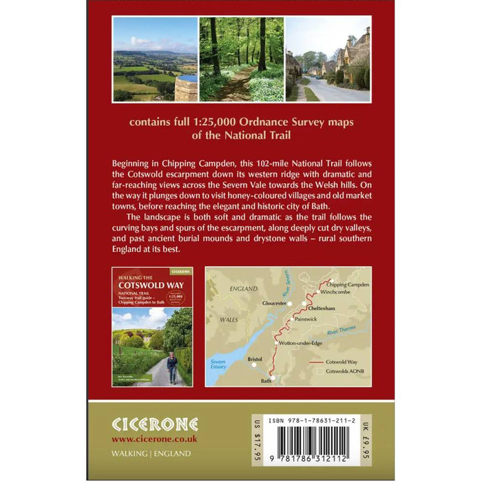
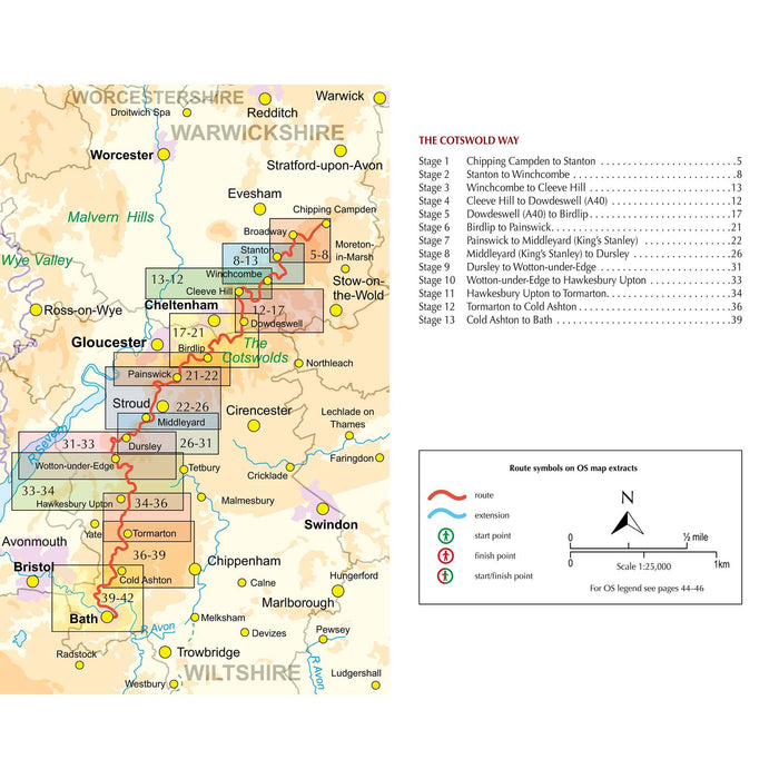
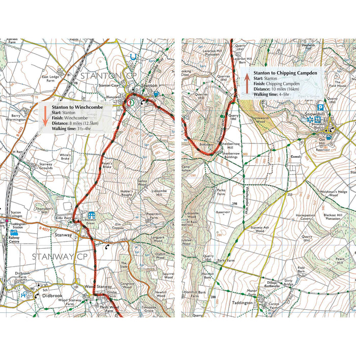
All the mapping you need to complete the 102 mile (163km) Cotswold Way National Trail, between Chipping Camden and Bath.
This booklet, updated in 2024, of Ordnance Survey 1:25,000 Explorer maps has been designed for convenient use on the trail. It shows the full and up-to-date line of the Cotswold Way, along with the relevant extract from the OS Explorer map legend. It can be used when walking the trail in either direction. It is conveniently sized for slipping into a jacket pocket or top of a rucksack.
NOTE An accompanying Cicerone guidebook - Walking the Cotswold Way - describes the full route with lots of other practical information and INCLUDES a copy of this map booklet.
Dimensions: 160mm x 106mm x 3mm, 60g
Published by Cicerone 2024.