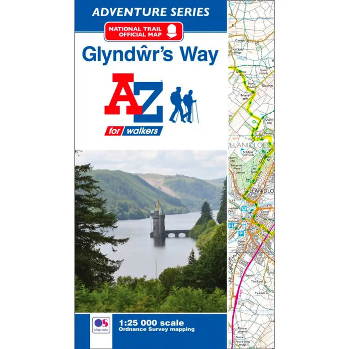
Glyndwr's Way Map - National Trail A-Z Map
The atlas includes a route planner showing distances between places and the essential amenities available including information centres, hotels and shops. Also featured is advice on safety and security when walking and a selection of QR codes linked to useful websites, including temporary route updates from the National Trails, regional information, map reading advice and weather reports.
This Glyndwr's Way A-Z Adventure Atlas includes a comprehensive index to towns, villages, hamlets and locations, natural features and nature reserves making it easy to find the required location quickly. Each index entry has a page reference and a six figure National Grid Reference. With a book size of 240mm x 134mm it is the same size as the standard OS folded map, making it convenient to carry while travelling.