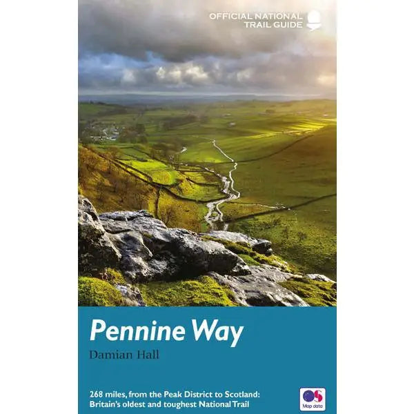
Pennine Way
£ 14.99
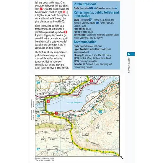
This official guide written by Damian Hall has all the information you need to enjoy the oldest, and some say the best, of the National Trails. The book includes colour extracts from the Ordnance Survey's 1:25,000 mapping, showing points along the route cross-referenced to the text.
The route is split into 16 days and is described from south to north.
- Ordnance Survey mapping for the entire route plus around 300 GPS references
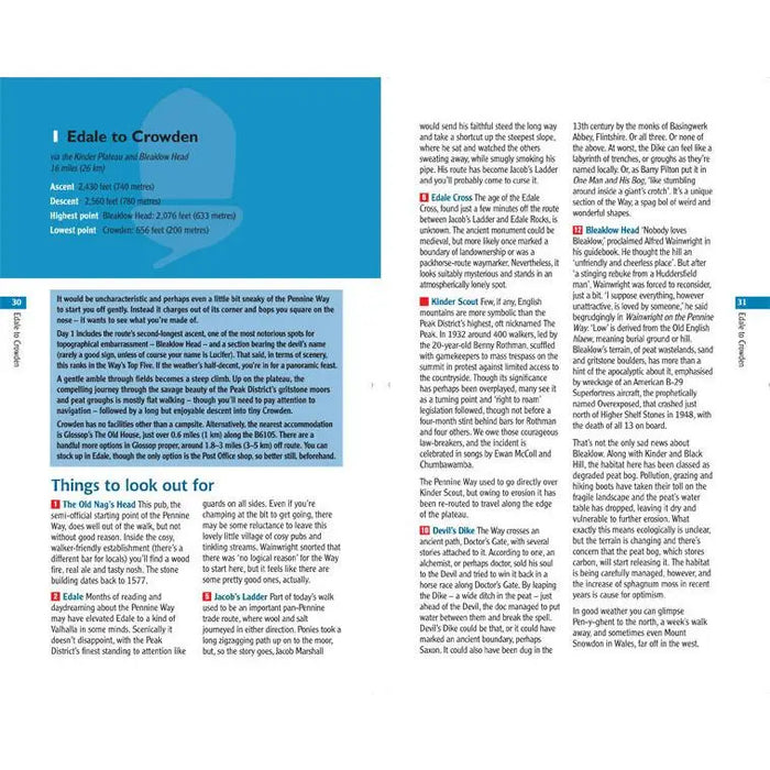
- Detailed route descriptions to guide you safely along
- Background information on everything from archaeology and history to wild flowers and wildlife
- Practical advice on transport, equipment, accommodation and more
Lavishly illustrated with colour photography throughout.
Dimensions: 210mm x 130mm x 13mm, 338g
Published by Aurum Press in January 2016.


