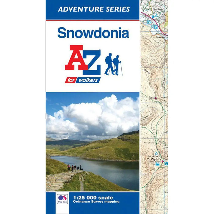
Snowdonia A-Z Adventure Atlas
The A-Z Adventure series features the accuracy and quality of OS Explorer mapping in a convenient book, complete with index.
Snowdonia is a region and a National Park in the north-west of Wales; a popular hiking destination famous for its mountains with many places of interest and natural attractions.
This A-Z Adventure Atlas of Snowdonia features 66 pages of continuous Ordnance Survey 1:25 000 mapping covering:
- Snowdonia National Park (north of Portmadog)
- Conwy
- Snowdon (Yr Wyddfa)
- Betws-y-Coed
- Blaenau Ffestiniog
- Portmadog
Unlike the original OS sheets, this A-Z Adventure Atlas includes a comprehensive index to towns, villages, hamlets and locations, natural features, nature reserves, car parks and youth hostels, making it easy to find the required location quickly. Each index entry has a page reference and a six figure National Grid Reference. With a book size of 240mm x 134mm it is the same size as the standard folded OS map.
Also included is safety and security advice when walking and a selection of QR codes to access useful websites with your smartphone.
The A-Z Adventure Series of maps combines the best of OS and A-Z, creating the perfect companion for walkers, off-road cyclists, horse riders and anyone wishing to explore the great outdoors.